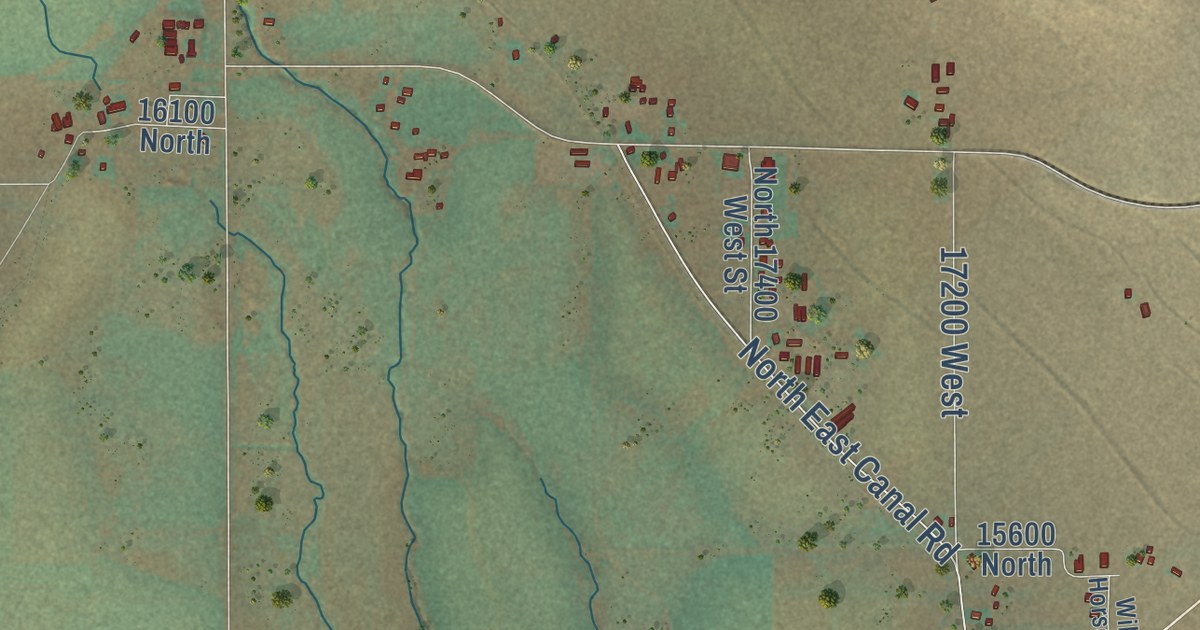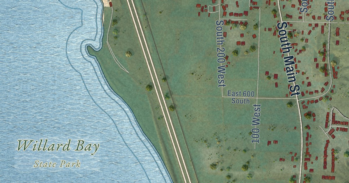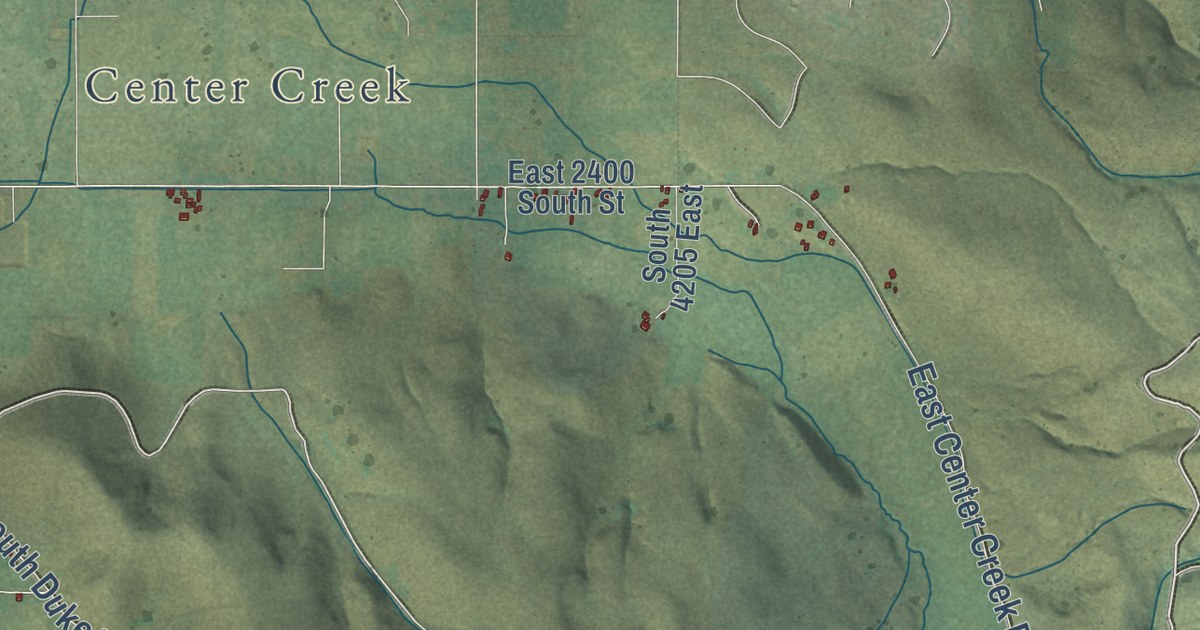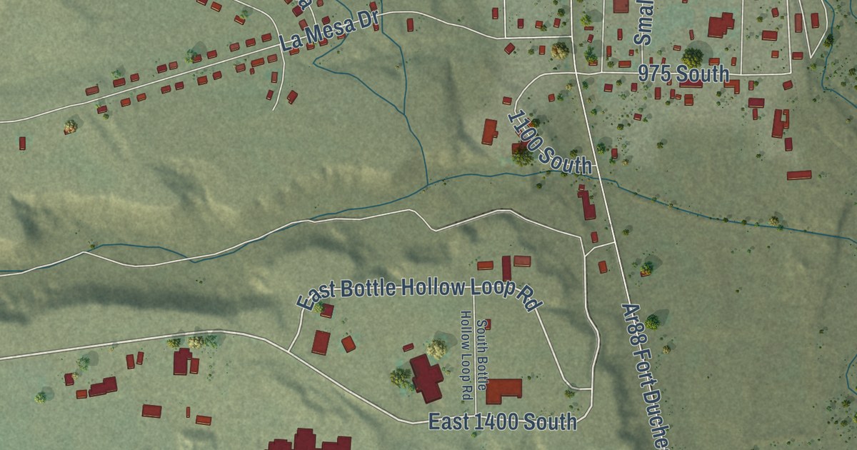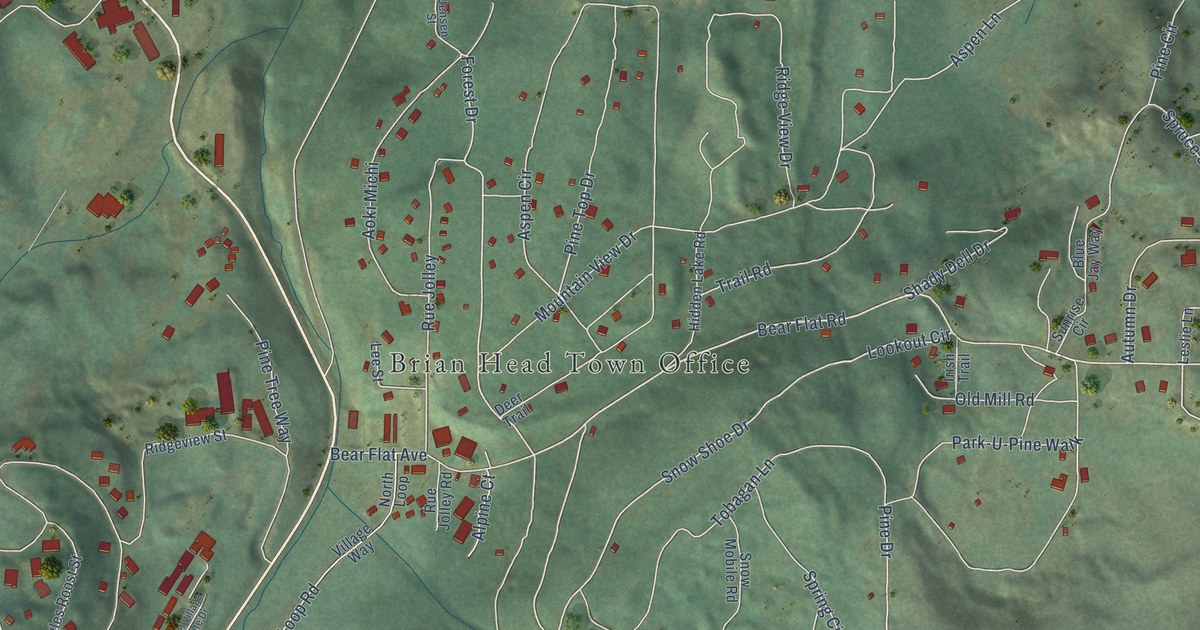
This beautifully detailed map of Brian Head, Utah was created in 2026 using aerial imagery combined with modern topographical, census, street and landmark data. It’s a one-of-a-kind view of Brian Head that combines accurate data with a vintage aesthetic. The map shows every building in its true location, many of the roads carry their names, and the shaded topographic relief shows the shape of the land.
Explore an aerial view of Brian Head, Utah
On the map you’ll find Brian Head Town Office, Brian Head Resort, and Trail Navajo, along with Aspen Drive, Ridge Top Drive, Bear Flat Road, Bear Flat Avenue, Forest Drive, Pine Drive, Kodiak Drive, Snow Shoe Drive, Lookout Circle, and more. If you look closely you can even find your house accurately drawn in its correct location. Zoom in on the preview to look for yours.
Did you know this piece of Brian Head, Utah history?
From the Utah Division of State History: "One account claims the name is a tribute to William Jennings Bryan, another to a man named Bryan who built a monument on the peak, and yet another as John Wesley Powell’s tribute to a certain Bryan from the Geographical Survey office."
Take a closer look at the Brian Head map
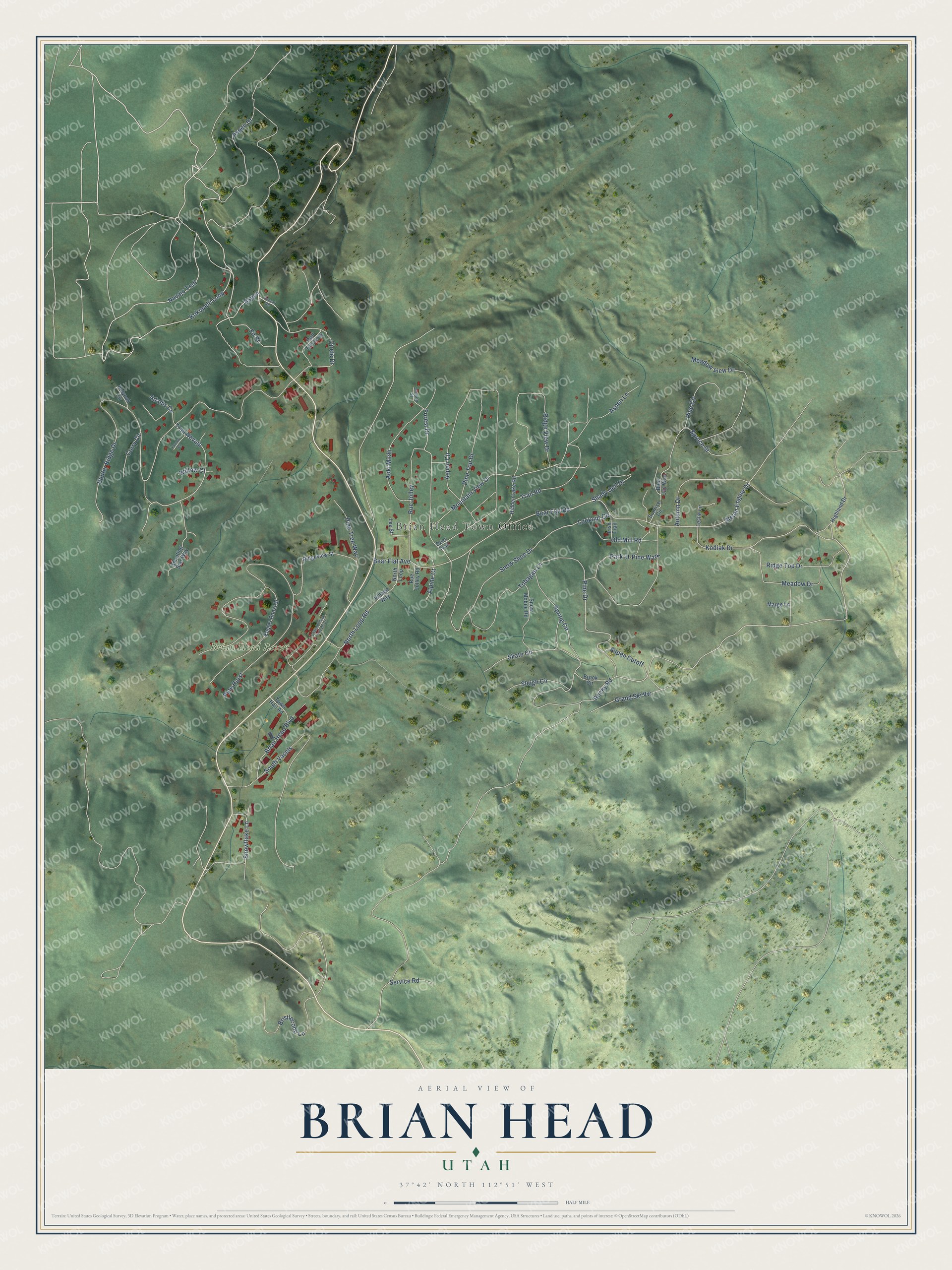
Street and place names on the Brian Head, Utah map
These names are printed on the map of Brian Head, Utah.
Places: Brian Head Town Office and Brian Head Resort.
Streets and roads: Aspen Drive, Ridge Top Drive, Bear Flat Road, Bear Flat Avenue, Forest Drive, Pine Drive, Kodiak Drive, Trail Navajo, Snow Shoe Drive, Lookout Circle, Snowflake Lane, Steam Engine Drive.
More street names, A to Z
Adams Circle, Alpine Court, Aoki Michi, Aspen, Aspen Circle, Aspen Cutoff, Aspen Lane, Autumn Drive, Blue Jay Way, Bobcat Road, Brian Head Boulevard, Bristlecone Lane, Brook Circle, Chalet Village Private Drive, Circle Drive, Corry Circle, Deer Trail, Eagles Roost Street, Fir Street, Grand Ski Vw, Half Circle Drive, Hidden Lake Road, Highland Drive, Holyoak Circle, Hunter Ridge Drive, Irish Trail, Jensen Street, Kokopelli Loop, Lee Street, Leslie Lane, Marge Lane, Meadow Drive, Meadow View Drive, Mountain View Drive, Navajo Trail, North Loop, North Loop Road, Old Mill Road, Park-U-Pine Walk, Pine Circle, Pine Hurst, Pine Top Drive, Pine Tree Way, Ridge View Drive, Ridgeview Street, Rocky Road, Rue Jolley, Rue Jolley Road, Service Road, Shady Dell Drive, Shooting Star Way, Skate Circle, Sleigh Circle, Snow Mobile Road, South Vasels, Spring Circle, Spruce Street, Sunrise Circle, Tobagan Lane, Town Hall Road, Trail Road, Village Way, Willow Court, Yarrow Court.
See the Brian Head, Utah map on a wall
The Brian Head map as an 18 x 24 inch print in a black frame.

This beautifully detailed map of Brian Head makes an attractive addition to your office, library, or den, and it can even be used to teach children the geography and history of the area. It also makes a great gift for anyone with Brian Head roots. When you’re done exploring, click here to get your copy of the Brian Head map.