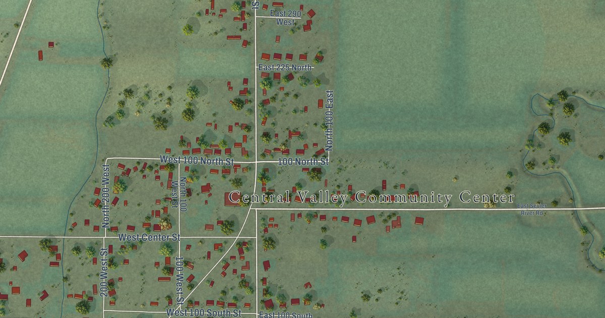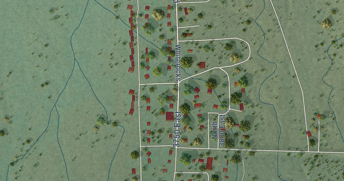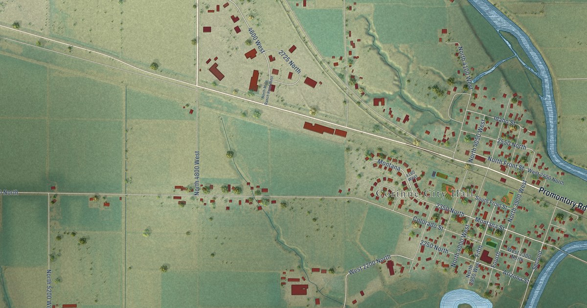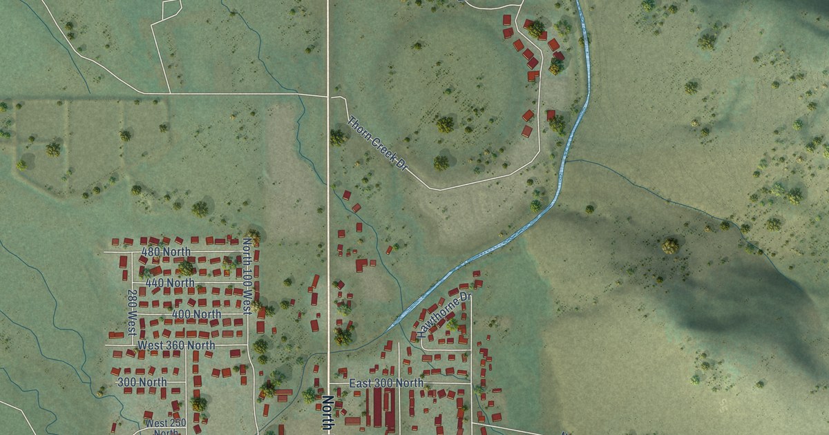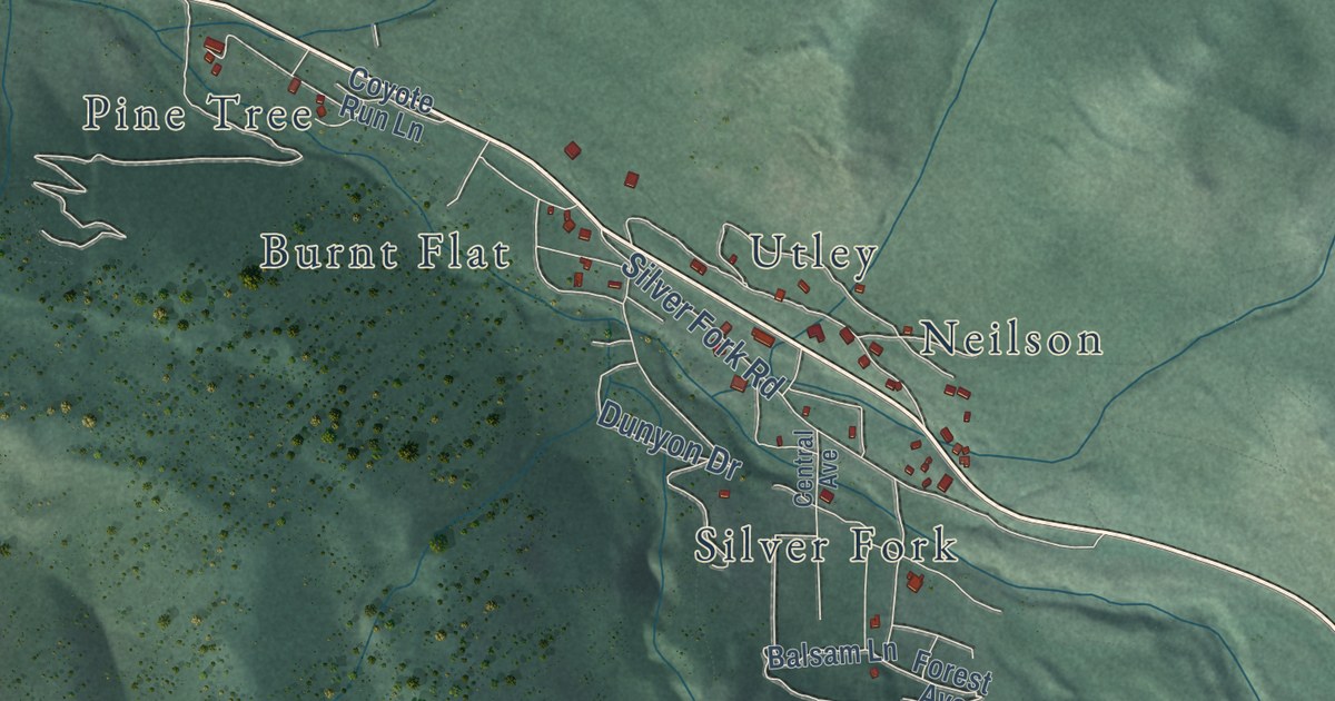
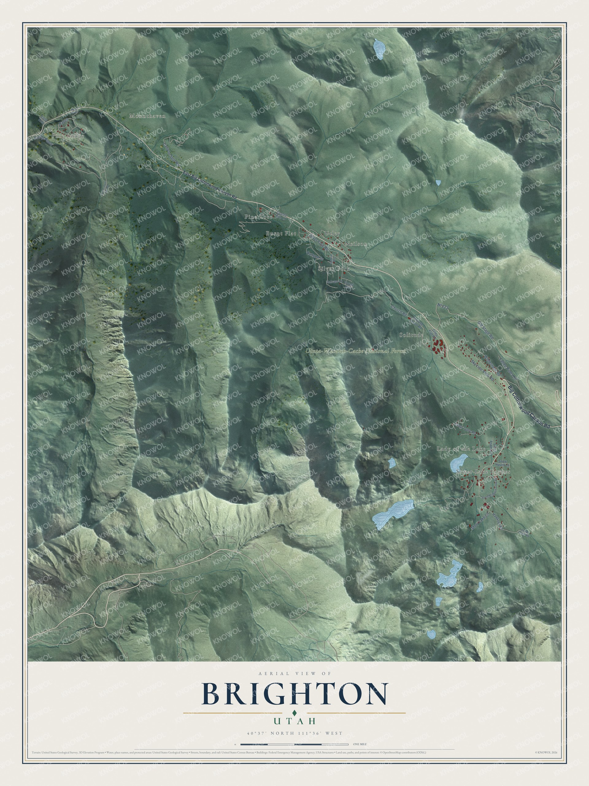
This beautifully detailed map of Brighton, Utah was created in 2026 using aerial imagery combined with modern topographical, census, street and landmark data. It’s a one-of-a-kind view of Brighton that combines accurate data with a vintage aesthetic. The map shows every building in its true location, many of the roads carry their names, and the shaded topographic relief shows the shape of the land.
Explore an aerial view of Brighton, Utah
On the map you’ll find Pine Lodge, Mounthaven, Uinta-Wasatch-Cache National Forest, Burnt Flat, Lady of the Lake, Neilson, Pine Tree, Silver Fork, Silver Lake Estates, Solitude, and Utley, along with Big Cottonwood Canyon Road, and more. If you look closely you can even find your house accurately drawn in its correct location. Zoom in on the preview to look for yours.
Did you know this piece of Brighton, Utah history?
In 1936 members of the Alpine Ski Club rigged a tow here from wire rope and an old elevator drum, and Brighton became Utah’s first ski area. The resort and town carry the name of William Stuart Brighton, a Scottish settler who claimed land at the head of the canyon in 1871 and later ran a hotel with his wife Catherine.
Take a closer look at the Brighton map
Street and place names on the Brighton, Utah map
These names are printed on the map of Brighton, Utah.
Places: Pine Lodge, Mounthaven, Uinta-Wasatch-Cache National Forest, Burnt Flat, Lady of the Lake, Neilson, Pine Tree, Silver Fork, Silver Lake Estates, Solitude and Utley.
Streets and roads: Big Cottonwood Canyon Road, Fallen Pines Lane, Haven, Church Road, Old Stage Road, Silver Fork Road, Sky Line View Road, Nf 223, Canyon Spur Road, Wilderness Road, Mary Lake Lane, Dunyon Drive.
More street names, A to Z
8300 East, Balsam Lane, Camp Tuttle Road, Central Avenue, Coyote Run Lane, East Big Cottonwood Canyon Road, Forest Avenue, Giles Flat Road, Hawkeye Acc, Laurel Pines, Mount Haven, Silver Aspen Lane, Snake Creek Road, Snow Haven Lane, Solitude Resort Road, South Brighton Loop Road, South Cardiff Fork Road.
See the Brighton, Utah map on a wall
The Brighton map as an 18 x 24 inch print in a black frame.

This beautifully detailed map of Brighton makes an attractive addition to your office, library, or den, and it can even be used to teach children the geography and history of the area. It also makes a great gift for someone who left Brighton and still calls it home. When you’re done exploring, click here to get your copy of the Brighton map.