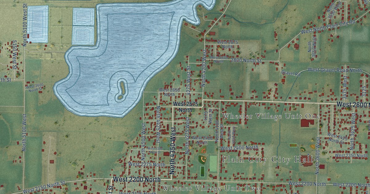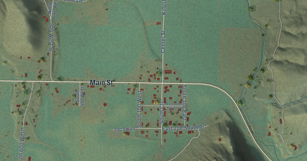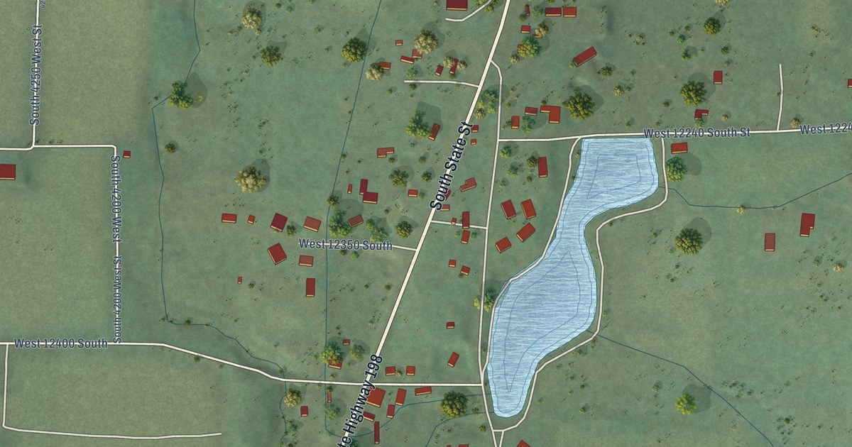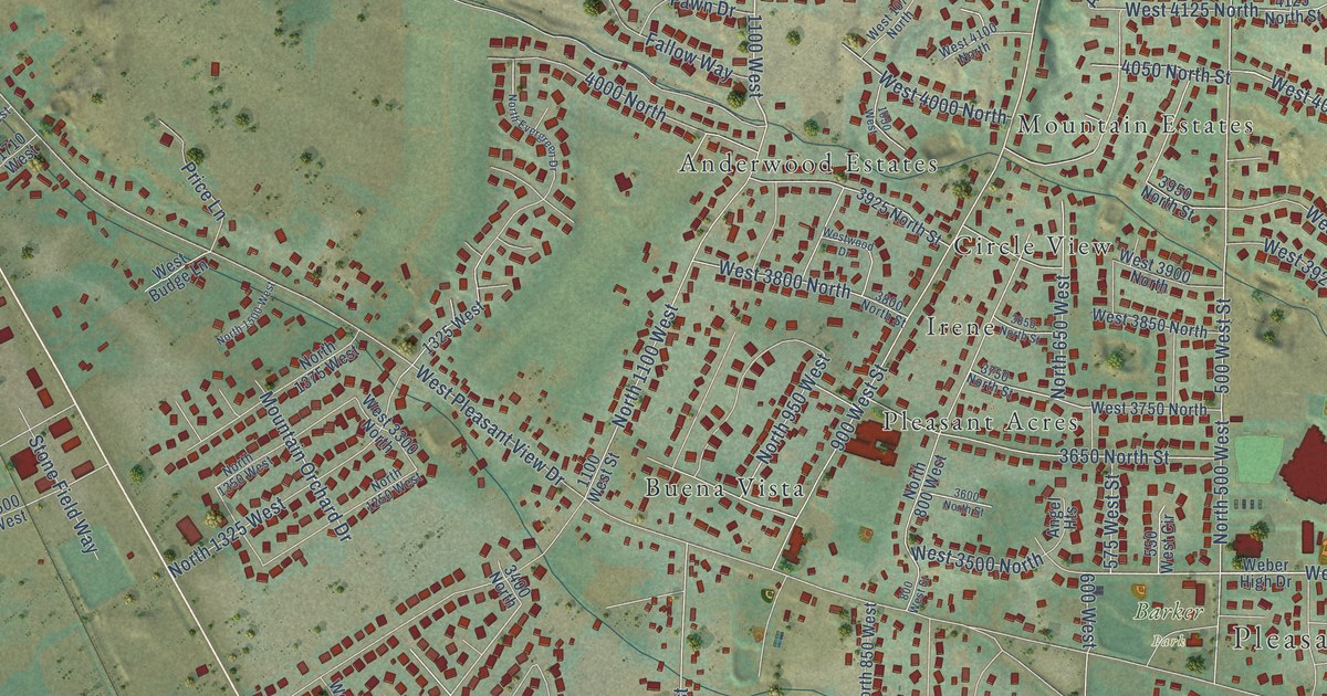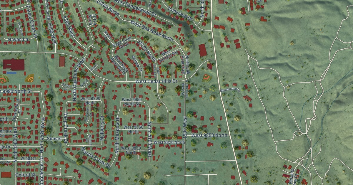
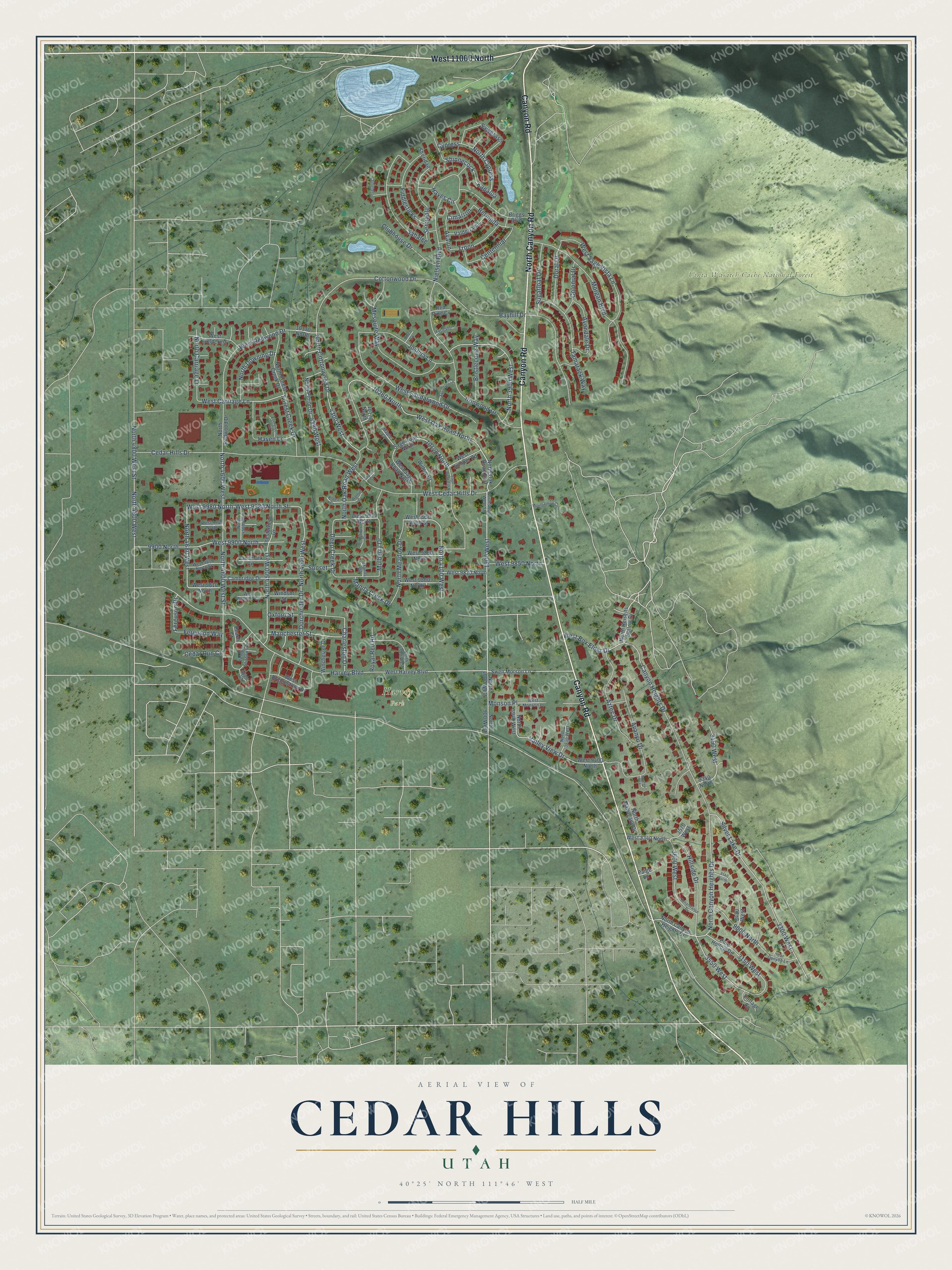
This beautifully detailed map of Cedar Hills, Utah was created in 2026 using aerial imagery combined with modern topographical, census, street and landmark data. It’s a one-of-a-kind view of Cedar Hills that combines accurate data with a vintage aesthetic. The map shows every building in its true location, many of the roads carry their names, and the shaded topographic relief shows the shape of the land.
Explore an aerial view of Cedar Hills, Utah
On the map you’ll find Harvey Park, Uinta-Wasatch-Cache National Forest, West 11000 North, 3550 West, 10260 North, Cimarron, Kapalua, and Bermuda, along with Canyon Road, North Canyon Road, Harvey Boulevard, West Oak Road North, and more. If you look closely you can even find your house accurately drawn in its correct location. Zoom in on the preview to look for yours.
Did you know this about Cedar Hills, Utah?
From the Utah Division of State History: "Early settlers called the area Cedar Hills, due to the cedars that grew on the bench."
Take a closer look at the Cedar Hills map
Street and place names on the Cedar Hills, Utah map
These names are printed on the map of Cedar Hills, Utah.
Places: Harvey Park and Uinta-Wasatch-Cache National Forest.
Streets and roads: Canyon Road, North Canyon Road, West 11000 North, 3550 West, Harvey Boulevard, 10260 North, West Oak Road North, Cimarron, Kapalua, Bermuda, Shinnecock, Sahalee.
More street names, A to Z
1900 West, 3150 West, 3300 West, 3430 West, 3490 West, 3570 West, 3600 West, 4300 West, 4390 West, 9000 North, 9140 North, 9340 North, 9900 North, 10120 North, 10170 North, 10370 North, Apple Court, Aspen Cv, Avalon, Avanyu Court, Avanyu Drive, Avondale Drive, Aztec Drive, Bayhill Drive, Bear Canyon Lane, Birch Cv, Briggs Boulevard, Bristlecone Way, Cambridge Drive, Canyon Heights Drive, Cedar Hills Drive, Cedar Run Circle, Centennial, Charleston Drive, Chesterfield Drive, Clubhouse Drive, Colonial Drive, Cottage Cv, Cottonwood Drive, Cypress, Deep Creek Drive, Doral Drive, Dorchester Drive, Eucalyptus Court, Evergreen Circle, Ferguson Drive, Ferguson Way, Fiddlesticks, Forest Creek Drive, Haven Lane, Hayes Circle, Hillside Drive, Ironwood Drive, Joshua Lane, Landmark Circle, Manchester Street, Manila Circle, Manila Creek Drive, Maple Court, Mesquite Way, Monson Place, Morgan Boulevard, Mountaintop Circle, Mulberry Drive, Nielsen Boulevard, North 900 West, North 3830 West, North 3900 West, North 3940 West, North 4000 West, North 4000 West Street, North 4100 West, North 4190 West, North 4420 West, North 4500 West, North 4560 West, North 4600 West, North 4600 West Street, North 4680 West, North 4800 West, North 4800 West Street, North Canyon Heights Drive, North Carriage Lane, North Cottonwood Drive, North Cypress, North Downing Drive, North Forest Creek Drive, North Heiselts Hollow Drive, North Mahogany Drive, North Meadow Drive, North Oak Road East, North Oak Road West, North Pinion Drive, North Redwood Drive, Oxford Street, Paige Lane, Peach Court, Pine Hollow Drive, Poplar Court, Red Pine Cv, Renaissance Drive, Royal Red Road, Sage Road East, Sage Road North, Sawgrass, Seminole, Sheridan, Silver Lake Drive, Spyglass, Sugarloaf Drive, Sunset, Swen Morson Lane, Sycamore Lane, Tamarack Way, Temple Shadows Drive, Troon, Valderrama, Valley View Drive, Walnut Cv, West 3340 North, West 9400 North, West 9800 North, West 9810 North, West 9820 North, West 9850 North, West 9850 North Street, West 9860 North, West 9900 North, West 9940 North, West 9950 North, West 9950 North Street, West 9980 North, West 9980 North Street, West Box Elder Drive, West Bridgestone Drive, West Carriage Lane, West Cedar Hills Drive, West Fieldcrest, West Harvey Boulevard, West Juniper Road, West Monson Place, West Redwood Drive, West Sage Road North, West Sage Vista Lane, West Sandalwood Drive, West Windsor Circle, Wildflower Circle, Willow Court, Winchester Drive, Windsor Street.
See the Cedar Hills, Utah map on a wall
The Cedar Hills map as an 18 x 24 inch print in a black frame.

This beautifully detailed map of Cedar Hills makes an attractive addition to your office, library, or den, and it can even be used to teach children the geography and history of the area. It also makes a great gift for anyone who grew up in Cedar Hills or moved away. When you’re done exploring, click here to get your copy of the Cedar Hills map.