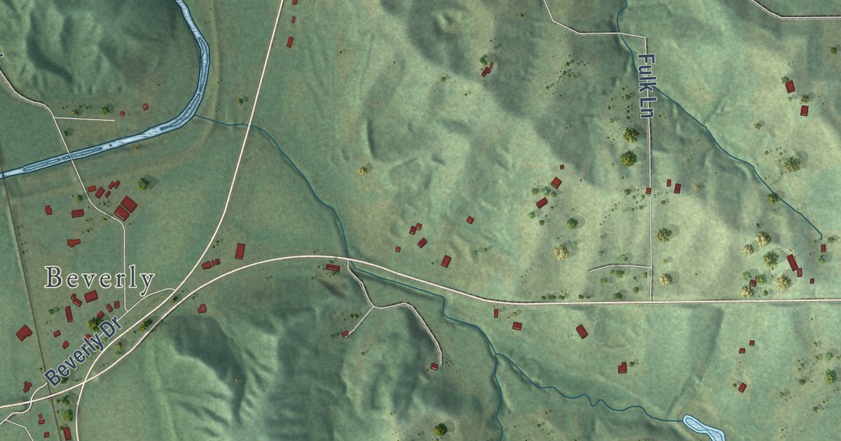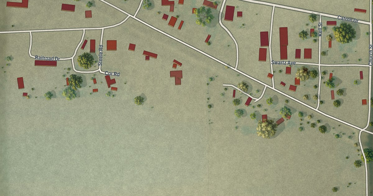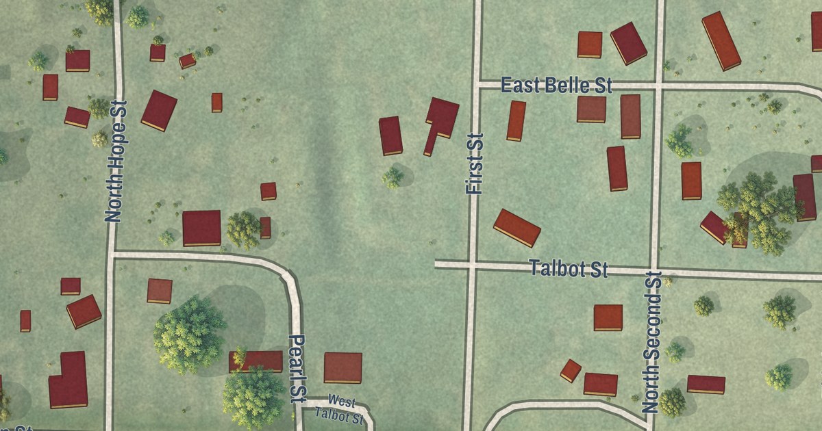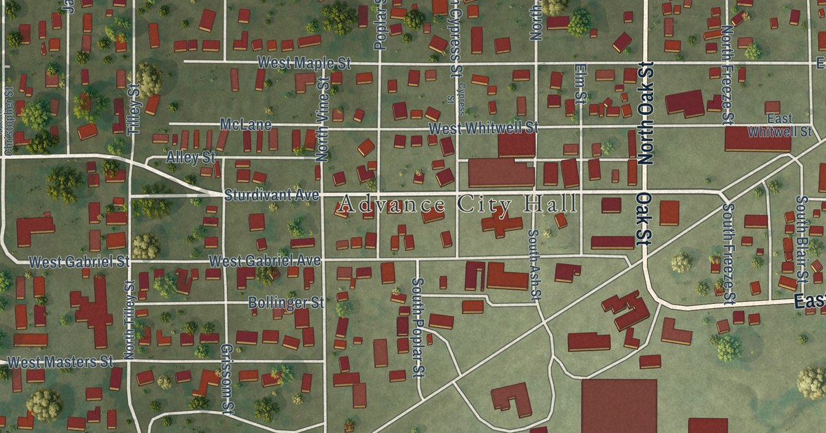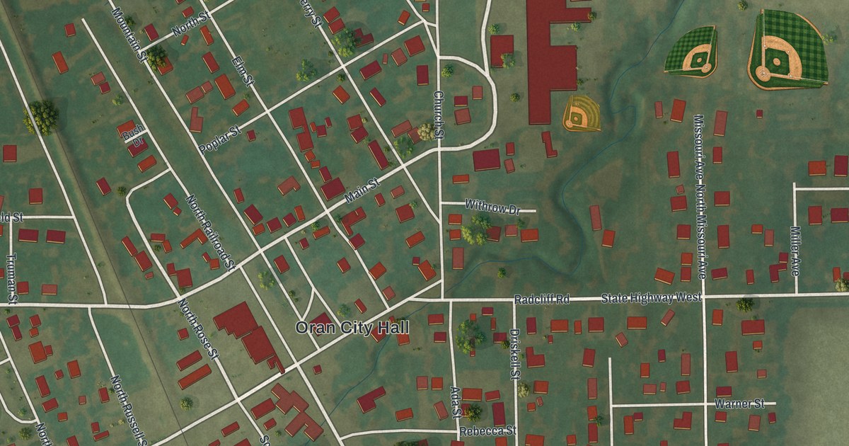
This beautifully detailed map of Oran, Missouri was created in 2026 using aerial imagery combined with modern topographical, census, street and landmark data. It’s a one-of-a-kind view of Oran that combines accurate data with a vintage aesthetic. The map shows every building in its true location, many of the roads carry their names, and the shaded topographic relief shows the shape of the land.
Explore an aerial view of Oran, Missouri
On the map you’ll find Oran City Hall, along with Radcliff Road, Main Street, South Railroad Street, North Rose Street, Wilma Street, State Highway West, South Russel Street, Radcliff Street, Stone Street, Washington Street, Cowan Lane, and more. If you look closely you can even find your house accurately drawn in its correct location. Zoom in on the preview to look for yours.
Did you know this piece of Oran, Missouri history?
Oran began as a settlement called St. Cloud in 1868. When a new post office opened in 1882, the name Sylvania was already taken by a town in Dade County. Captain Ward L. Smith, a retired sailor who settled nearby in 1869, chose the name Oran. He took it from a city in Algeria that he had visited. That’s from the State Historical Society of Missouri.
Take a closer look at the Oran map
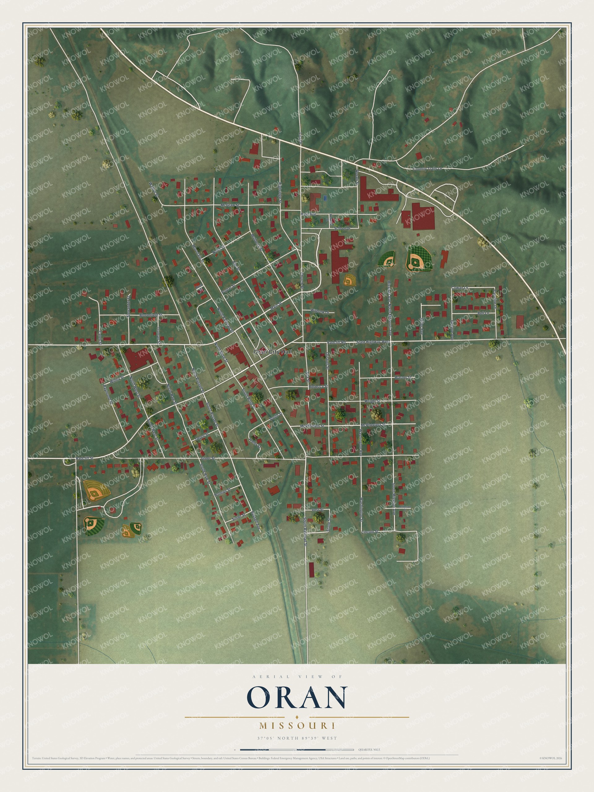
Street and place names on the Oran, Missouri map
These names are printed on the map of Oran, Missouri.
Places: Oran City Hall.
Streets and roads: Radcliff Road, Main Street, South Railroad Street, North Rose Street, Wilma Street, State Highway West, South Russel Street, Radcliff Street, Stone Street, Washington Street, Cowan Lane, Greer Street.
More street names, A to Z
Ada Street, Alexander Street, Bell Lane, Bloomfield Street, Bush Drive, Caleb Street, Caroline Drive, Church Street, Country Trails Lane, Depot Street, Driskell Street, Elm Street, Geneve Avenue, Highridge Street, Holman Street, Jefferson Street, Kain Avenue, Kenrick Street, Lincoln Street, Lisa Drive, McGraw Street, McPheeters Street, McPhfeters Street, Miller Avenue, Missouri Avenue, Mountain Street, Mulberry Street, North Haw Street, North Missouri Avenue, North Railroad Street, North Russell Street, North Street, North West Street, Poplar Street, Raymond Street, Rebecca Street, Rosati Street, Russell Avenue, School Drive, Simer Street, South Haw Street, South Missouri Avenue, South Rose Street, South Street, South West Street, Truman Street, Vest Street, Walnut Street, Warner Street, Washington Avenue, Water Street, Withrow Drive, Wright Street.
See the Oran, Missouri map on a wall
The Oran map as an 18 x 24 inch print in a black frame.

This beautifully detailed map of Oran makes an attractive addition to your office, library, or den, and it can even be used to teach children the geography and history of the area. It also makes a great gift for anyone who grew up in Oran or moved away. When you’re done exploring, click here to get your copy of the Oran map.