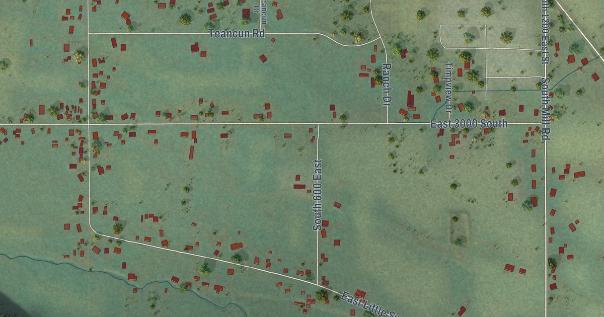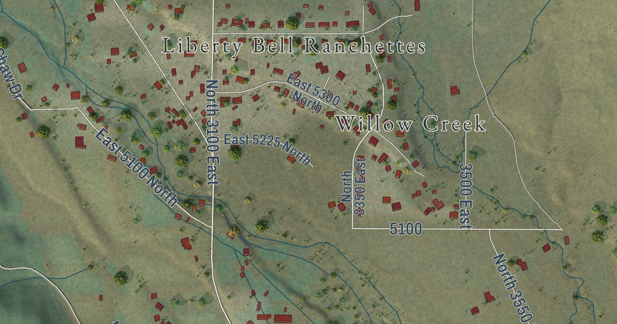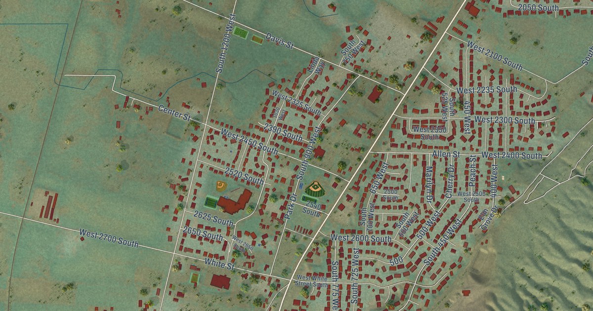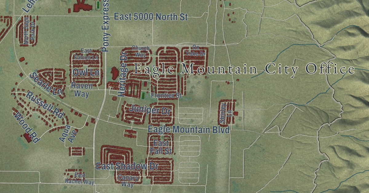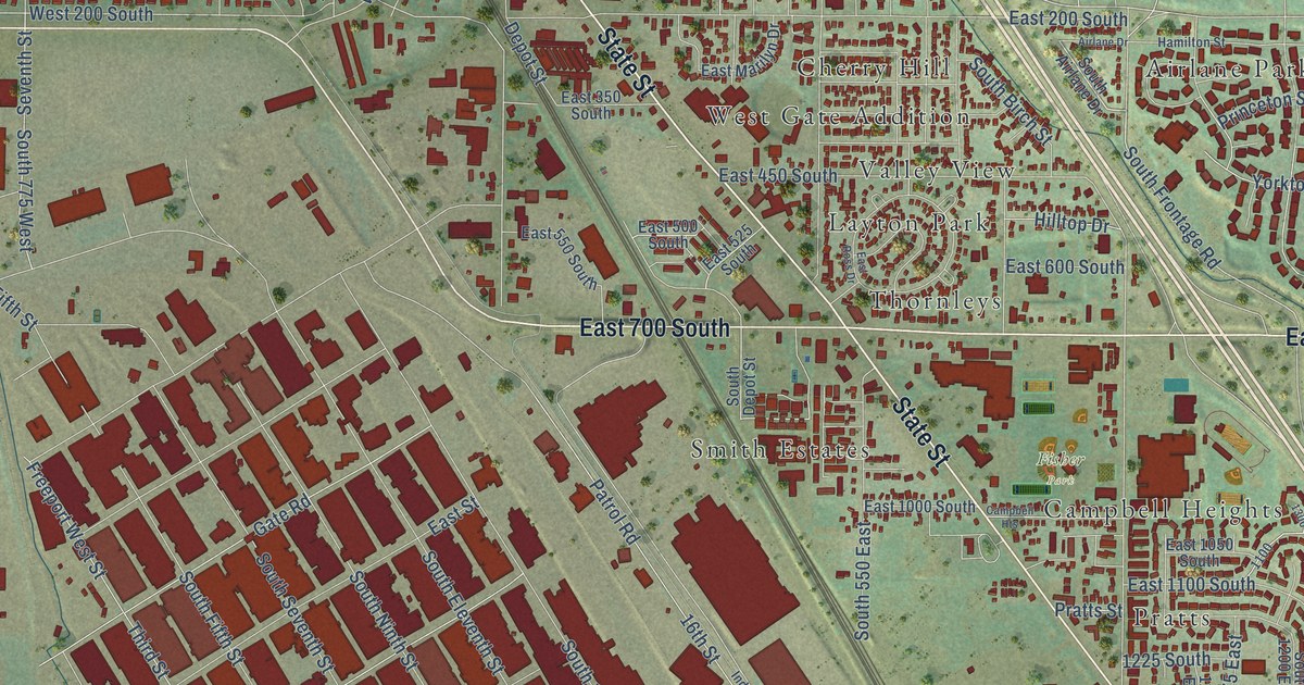
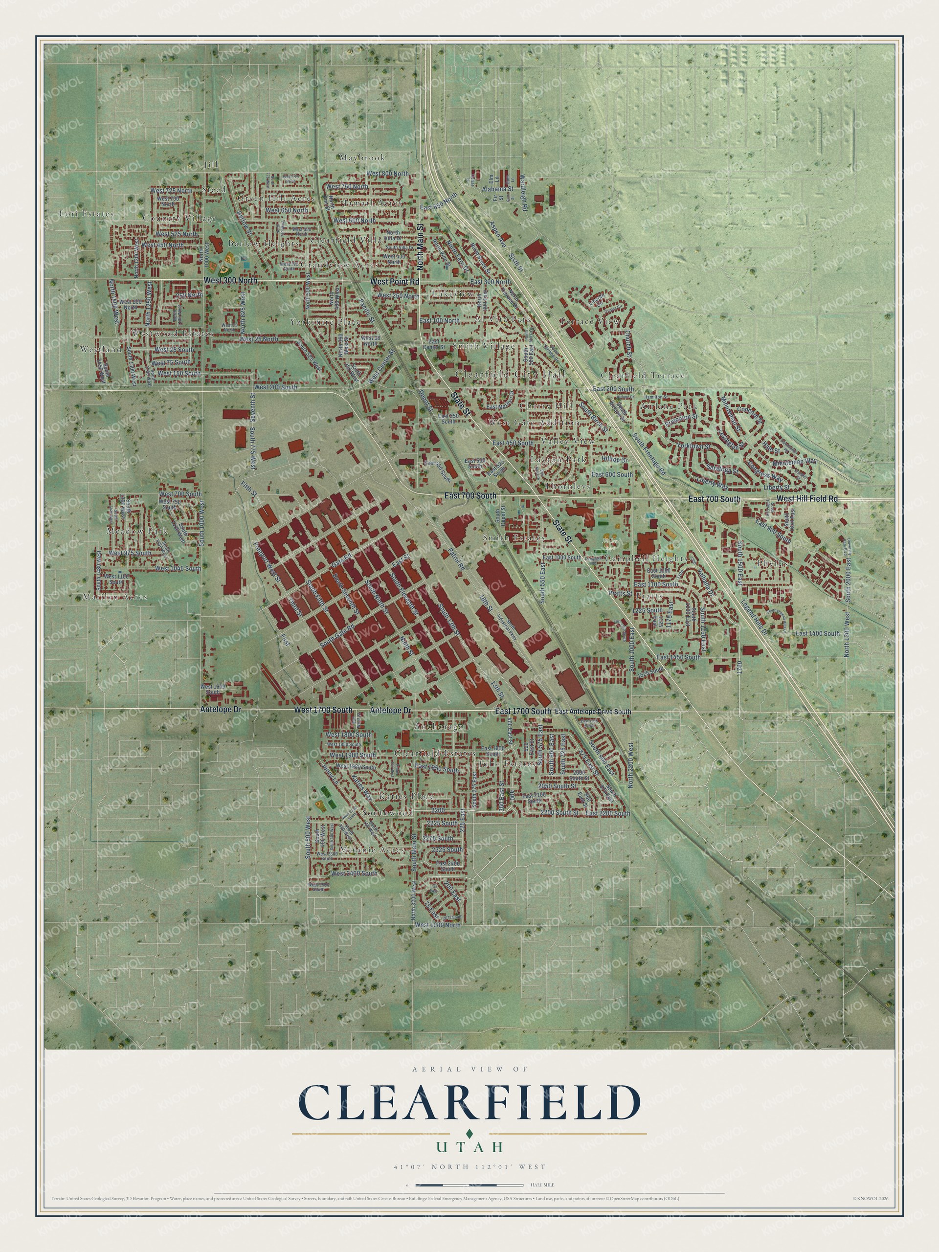
This beautifully detailed map of Clearfield, Utah was created in 2026 using aerial imagery combined with modern topographical, census, street and landmark data. It’s a one-of-a-kind view of Clearfield that combines accurate data with a vintage aesthetic. The map shows every building in its true location, many of the roads carry their names, and the shaded topographic relief shows the shape of the land.
Explore an aerial view of Clearfield, Utah
On the map you’ll find Clearfield City Hall, Fisher Park, Airlane Park, Al Vita Park, Anchorage, Barlow Heights, Campbell Heights, Cherry Hill, Clearfield Estates, Clearfield Villa, and Country Village, along with Clearfield Terrace, and more. If you look closely you can even find your house accurately drawn in its correct location. Zoom in on the preview to look for yours.
Did you know this piece of Clearfield, Utah history?
From the Utah Division of State History: "Refurbished as the Freeport Center, Clearfield Naval Supply Depot became a civilian storage and transshipment hub."
Take a closer look at the Clearfield map
Street and place names on the Clearfield, Utah map
These names are printed on the map of Clearfield, Utah.
Places: Clearfield City Hall, Fisher Park, Airlane Park, Al Vita Park, Anchorage, Barlow Heights, Campbell Heights, Cherry Hill, Clearfield Estates, Clearfield Terrace, Clearfield Villa, Country Village, Grandview Acres, Green Hill Acres, Jamarl Acres, Jill, Julie Estates, Katies Place, Lakeview, Layton Park, Lori Estates, Marilyn Acres, Maybrook, Meadow Park, Melanie Acres, Phyllis, Pratts, Smith Estates, Smith Village, Southwood, Steed, Terrace View, Thornleys, Valley View, West Gate Addition, Westland, Westwood Estates and Yorkshire Place.
Streets and roads: State Street, East 700 South, West 300 North, Antelope Drive, West Hill Field Road, East 1700 South, West Point Road, West 1700 South, North Main Street, South 1500 East, East 2200 South, West 2400 South.
More street names, A to Z
13th Street, 16th Street, 75 East, 125 East, 200 East, 225 East, 250 North, 300 West Street, 350 East Street, 400 East Street, 500 East Street, 800 East Street, 875 East Street, 1125 East, 1175 East, 1225 South, 1525 South, 2000 South Street, 2050 South Street, 2200 South Street, 2225 South, 2275 South, 2325 South, 2675 South, Airlane Drive, Alabama Street, Aspen Avenue, Barlow Street, Cedar Lane, Church Street, Concord Street, Congress Way, Constitution Road, Depot Street, East 100 North, East 200 South, East 300 North, East 350 South, East 450 South, East 500 South, East 525 South, East 550 South, East 600 South, East 650 North, East 900 South, East 1000 South, East 1050 South, East 1100 South, East 1350 South, East 1400 South, East 1450 South, East 1750 South, East 1900 South, East 1950 South, East 2100 South, East 2400 South, East Antelope Drive South, East Center Street, East Marilyn Drive, East Ross Drive, East Street, Elm Lane, Fifth Street, First, Fir Street, Franklin Street, Freeport West Street, Gate Road, Gum Lane, Gum Street, Hale Street, Hamilton Street, Hilltop Drive, Jenny Lane, Katies Way, Legend Hills Drive, Lexington Street, Liberty Street, Liberty Way, Lincoln Circle, Minuteman Street, Minuteman Way, Ninth Street, North 300 East, North 360 West Street, North 400 West, North 500 East, North 500 West, North 700 West, North 775 West, North 825 West, North 1000 West, North 1100 West, North 1200 West, North 1250 West, North 1300 West, North 1400 West, North 2200 West, North 3200 West, North Ann Street, North Bruce Street, North Fern Drive, North Terrace Drive, North Villa Drive, North Vine Street, Pacific Street, Patrol Road, Pratts Street, Princeton Street, Saratoga Street, Seventh Street, Sixth Street, South 13th Street, South 100 West, South 150 West, South 275 East, South 300 West, South 350 West, South 400 West, South 450 West, South 500 East, South 500 West, South 525 West, South 550 East, South 575 East, South 650 East, South 725 East, South 775 West, South 875 East, South 900 East, South 1000 East, South 1000 West, South 1100 West, South 1150 West, South 1200 East, South 1250 East, South 1250 West, South 1300 West, South 1350 West, South 1425 West, South 1450 West, South 1480 West, South 1600 East, South 1650 East, South 2000 East, South Airlane Drive, South Birch Street, South Depot Street, South Eleventh Street, South Fifth Street, South Frontage Road, South Gate Road, South Industrial Parkway, South Legend Hills Drive, South Main Street, South Ninth Street, South Seventh Street, South Terrace Drive, South Villa Drive, Third Street, Truman Circle, University Park Boulevard, Valhalla Drive, Wardleigh Road, West 25 North, West 25 South, West 75 North, West 75 South, West 90 North, West 150 South, West 200 North, West 200 South, West 250 North, West 375 North, West 400 North, West 450 North, West 525 North, West 550 North, West 600 North, West 650 North, West 700 North, West 700 South, West 725 North, West 750 North, West 750 South, West 775 North, West 800 North, West 975 South, West 1000 North, West 1045 South, West 1100 South, West 1600 South, West 1800 South, West 1850 South, West 1900 South, West 1980 South, West 2150 South, West 2300 South, West 2500 South, West Center Street, Yorktown Street.
See the Clearfield, Utah map on a wall
The Clearfield map as an 18 x 24 inch print in a black frame.

This beautifully detailed map of Clearfield makes an attractive addition to your office, library, or den, and it can even be used to teach children the geography and history of the area. It also makes a great gift for anyone with Clearfield roots. When you’re done exploring, click here to get your copy of the Clearfield map.