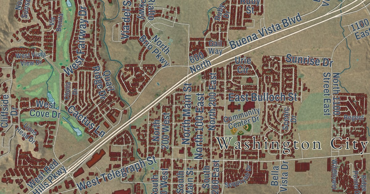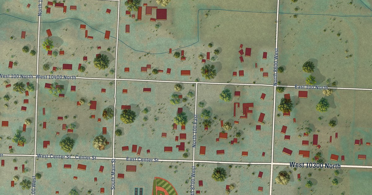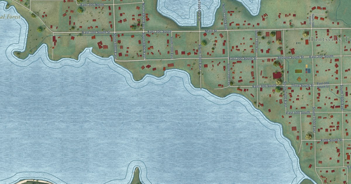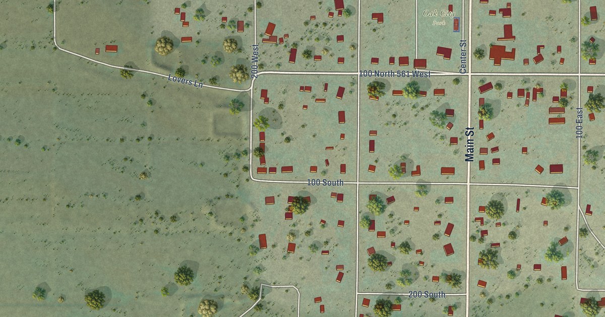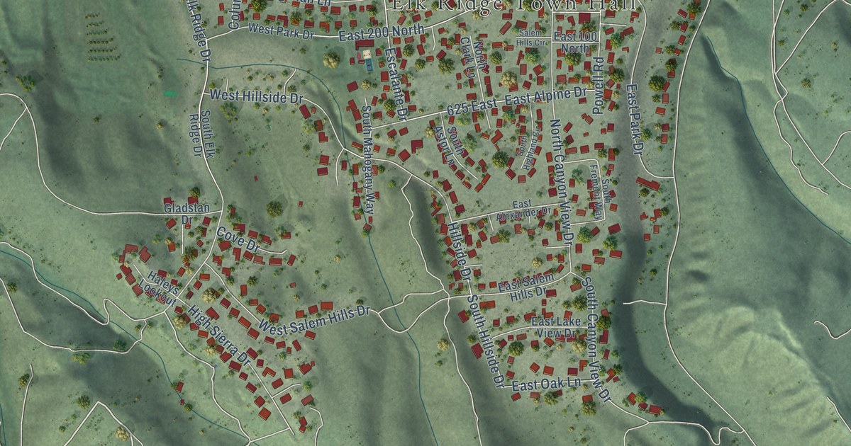
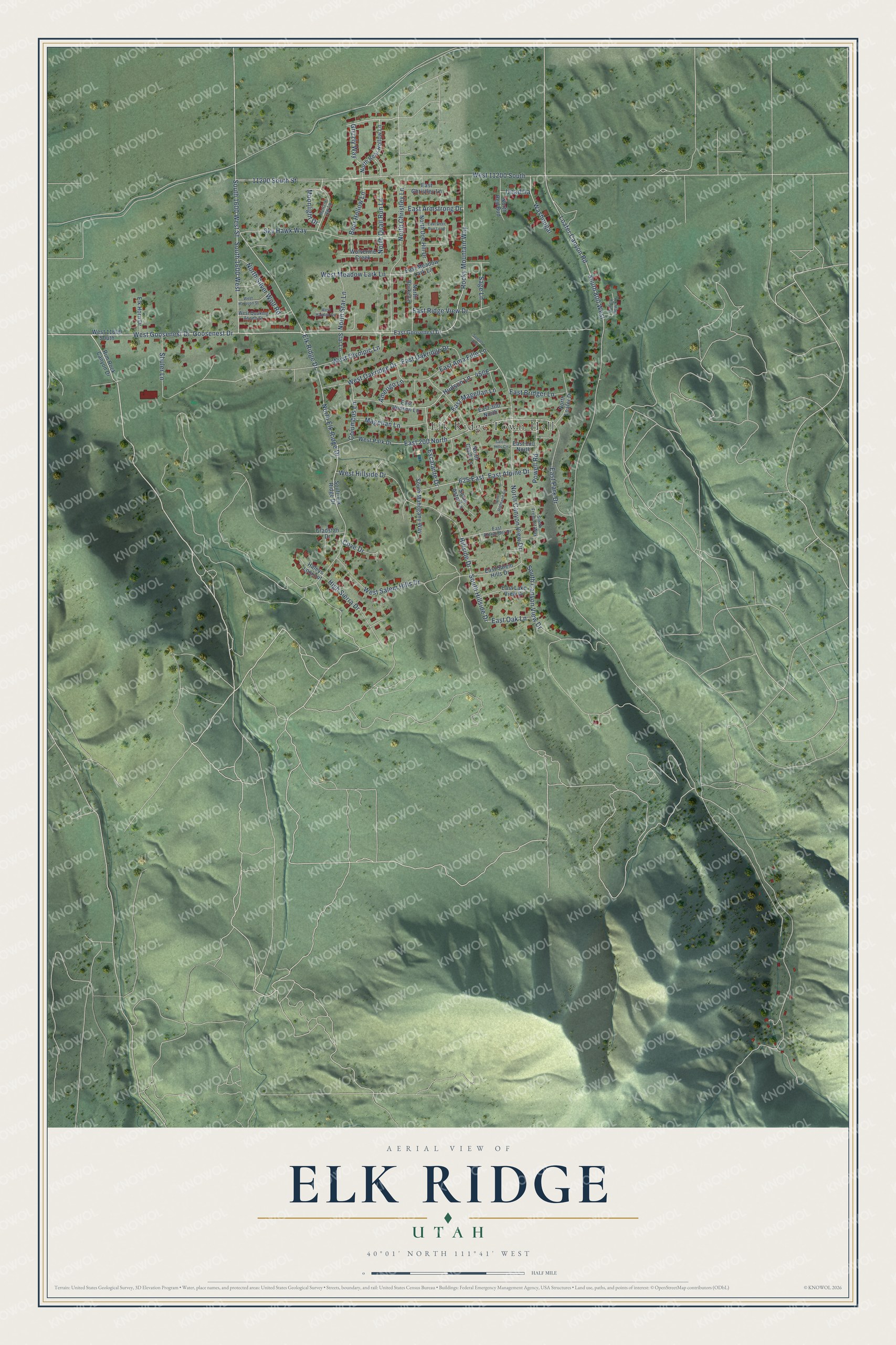
This beautifully detailed map of Elk Ridge, Utah was created in 2026 using aerial imagery combined with modern topographical, census, street and landmark data. It’s a one-of-a-kind view of Elk Ridge that combines accurate data with a vintage aesthetic. The map shows every building in its true location, many of the roads carry their names, and the shaded topographic relief shows the shape of the land.
Explore an aerial view of Elk Ridge, Utah
On the map you’ll find Elk Ridge Town Hall, West 11200 South, and 625 East, along with Goosenest Drive, West Goosenest Drive, Rocky Mountain Way, 11200 South Street, Sky Hawk Way, High Sierra Drive, North Elk Ridge Drive, East Alpine Drive, West Oakridge Drive, and more. If you look closely you can even find your house accurately drawn in its correct location. Zoom in on the preview to look for yours.
Did you know this piece of Elk Ridge, Utah history?
From the Utah Division of State History: "Like several other fast growing Utah county towns, Elk Ridge is a recently established town, incorporated in 1976."
Take a closer look at the Elk Ridge map
Street and place names on the Elk Ridge, Utah map
These names are printed on the map of Elk Ridge, Utah.
Places: Elk Ridge Town Hall.
Streets and roads: Goosenest Drive, West Goosenest Drive, Rocky Mountain Way, West 11200 South, 11200 South Street, Sky Hawk Way, High Sierra Drive, North Elk Ridge Drive, 625 East, East Alpine Drive, West Oakridge Drive, North Canyon View Drive.
More street names, A to Z
Amerigo Lane, Bear Hollow Lane, Columbus Lane, Cove Drive, East 100 North, East 200 North, East 300 North, East Alexander Drive, East Ama Fille Lane, East Armstrong Drive, East Bridger Lane, East Christley Lane, East Deer Run Loop, East Goosenest Drive, East Hudson Lane, East Lake View Drive, East Magellan Lane, East Meadow Lark Lane, East Oak Lane, East Oakridge Drive, East Park Drive, East Ridge View Drive, East Salem Hills Drive, Elk Horn Drive, Elk Ridge Drive, Escalante Drive, Gladstan Drive, Grizzly Way, Haleys Lookout, Hillside Drive, Horizon Vw Lp, Hudson Lane, Loafer Canyon Road, Magellan Lane, Moonlight Drive, North Bear Hollow Lane, North Burke Lane, North Christley Lane, North Clark Lane, North Doe Hill Drive, North Loafer Drive, North Quail Run Lane, North Red Bud, North Silver Wolf Road, North Star Lane, Powell Road, Rim Rock Canyon Drive, Sage Lane, Salem Hills Circle, Shuler Lane, South 800 West, South 1600 West, South 1600 West Street, South Astor Lane, South Canyon View Drive, South Elk Ridge Drive, South Fremont Way, South Highland Circle, South Hillside Drive, South Mahogany Way, Star Lane, Sunset Avenue, Unadilla, Valley View Circle, Washougal, West 11600 South, West Harrison Street, West Hayden Circle, West Hillside Drive, West Meadow Lark Lane, West Olympic Lane, West Park Drive, West Quaking Aspen Street, West Salem Hills Drive, Wolverine Creek.
See the Elk Ridge, Utah map on a wall
The Elk Ridge map as an 18 x 24 inch print in a black frame.

This beautifully detailed map of Elk Ridge makes an attractive addition to your office, library, or den, and it can even be used to teach children the geography and history of the area. It also makes a great gift for anyone who grew up in Elk Ridge or moved away. When you’re done exploring, click here to get your copy of the Elk Ridge map.