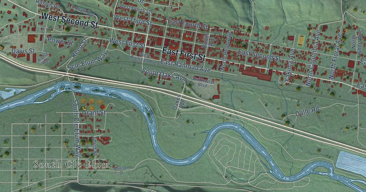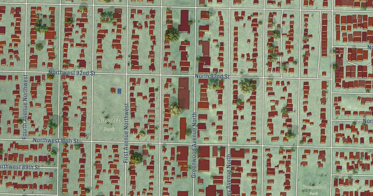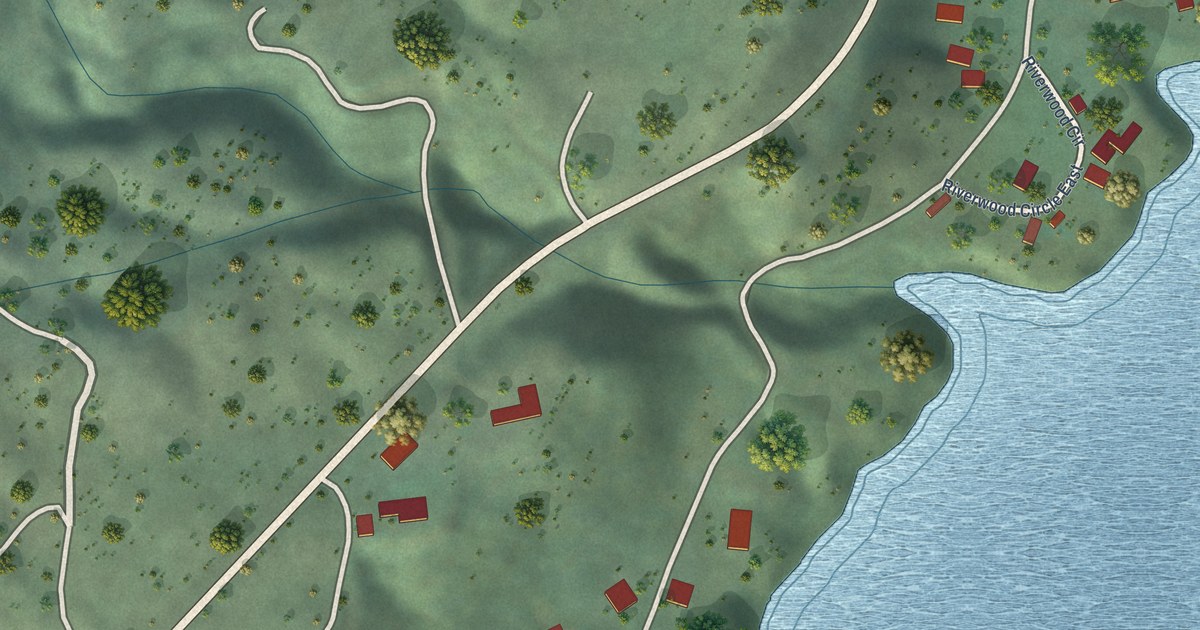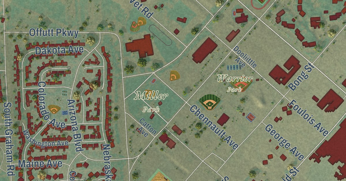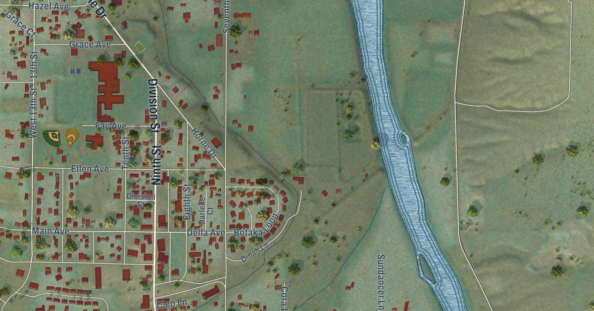
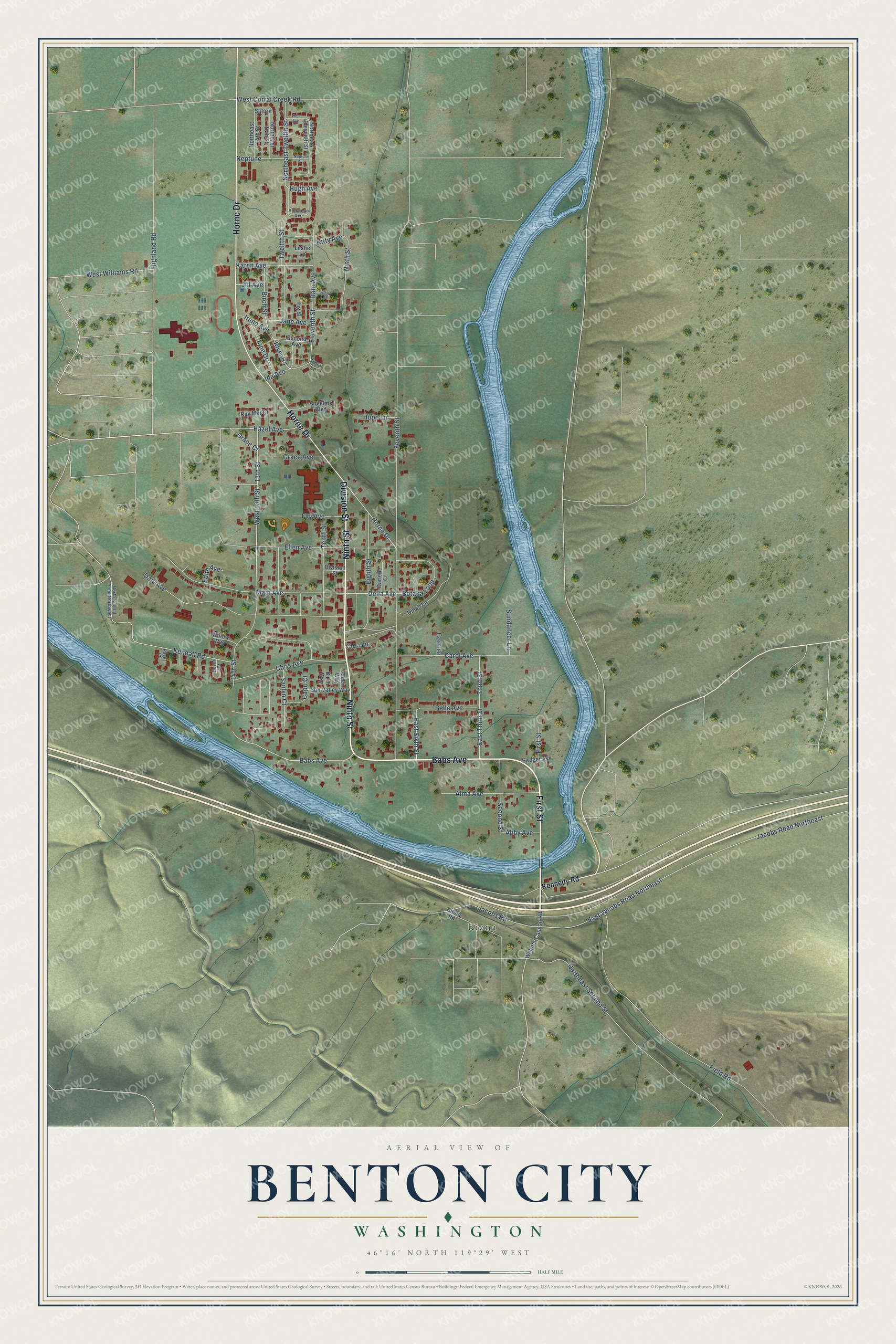
This beautifully detailed map of Benton City, Washington was created in 2026 using aerial imagery combined with modern topographical, census, street and landmark data. It’s a one-of-a-kind view of Benton City that combines accurate data with a vintage aesthetic. The map shows every building in its true location, many of the roads carry their names, and the shaded topographic relief shows the shape of the land.
Explore an aerial view of Benton City, Washington
On the map you’ll find Kiona, along with Ninth Street, Babs Avenue, First Street, Horne Drive, Division Street, 13th Street, West 13th Street, Jacobs Road, Eleventh Street, River Road, Seventh Street, and more. If you look closely you can even find your house accurately drawn in its correct location. Zoom in on the preview to look for yours.
Did you know this piece of Benton City, Washington history?
From HistoryLink.org: "Pitman (the same engineer who founded the town, and a prominent booster for its growth) decided in April 1912 that Benton City should overthrow Prosser, which the legislature had named county seat when it created the county seven years earlier."
Take a closer look at the Benton City map
Street and place names on the Benton City, Washington map
These names are printed on the map of Benton City, Washington.
Places: Kiona.
Streets and roads: Ninth Street, Babs Avenue, First Street, Horne Drive, Division Street, 13th Street, West 13th Street, Jacobs Road, Eleventh Street, River Road, Seventh Street, East Jacobs Road Northeast.
More street names, A to Z
14th Street, Abby Avenue, Alder Way, Alma Avenue, Angeline Boulevard, Annajean Avenue, Belle Avenue, Birch Street, Birch Way, Botaka Loop, Capri Court, Carol Avenue, Chris Avenue, Cleo Lane, Cora Lane, Dale Avenue, Darlene Court, Date Avenue, Della Avenue, Dinah Lane, Dozer Court, East Sixth Street, East Third Street, Edith Avenue, Eighth Street, Ellen Avenue, Fay Avenue, Field Road, Fig Street, Grace Avenue, Grace Court, Hazel Avenue, Hedger Avenue, Highland Road, Hope Lane, Hugh Avenue, Ida Avenue, Ione Drive, Irene Avenue, Irma Lane, Jacobs Road Northeast, Jane Avenue, Jill Avenue, Jonah Lane, Karen Avenue, Kendall Road, Kennedy Road, Kiona Road, Kitty Avenue, Leslie Lane, Main Avenue, Neptune, Neptune Avenue, Northeast 13th Street, Northeast 14th Street, Northeast Eleventh Street, Northeast Second Street, Northeast Twelfth Street, North Kendall Road Northwest, Paver Court, Ray Mar Drive, Sanlyn Court, Saturn, Second Avenue, Second Street, Sundancer Lane, Sun Valley Way, Tenth Street, Third Street, Thor Avenue, Twelfth Street, Webber Canyon Road, West Corral Creek Road, West Williams Road, Willow Way.
See the Benton City, Washington map on a wall
The Benton City map as an 18 x 24 inch print in a black frame.

This beautifully detailed map of Benton City makes an attractive addition to your office, library, or den, and it can even be used to teach children the geography and history of the area. It also makes a great gift for someone who left Benton City and still calls it home. When you’re done exploring, click here to get your copy of the Benton City map.