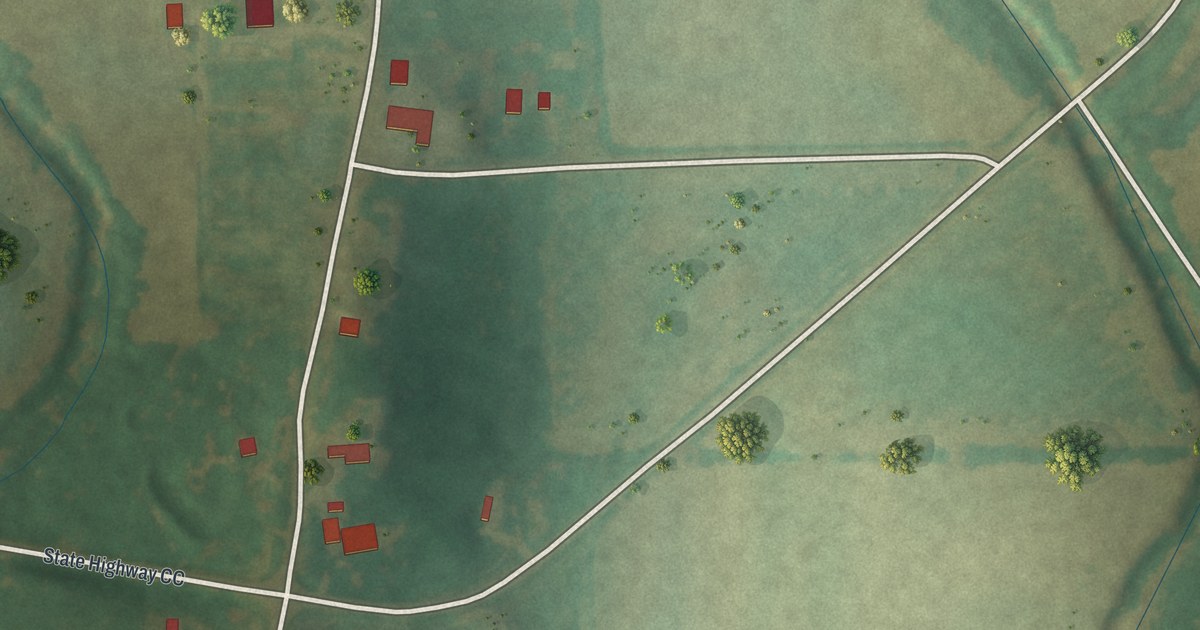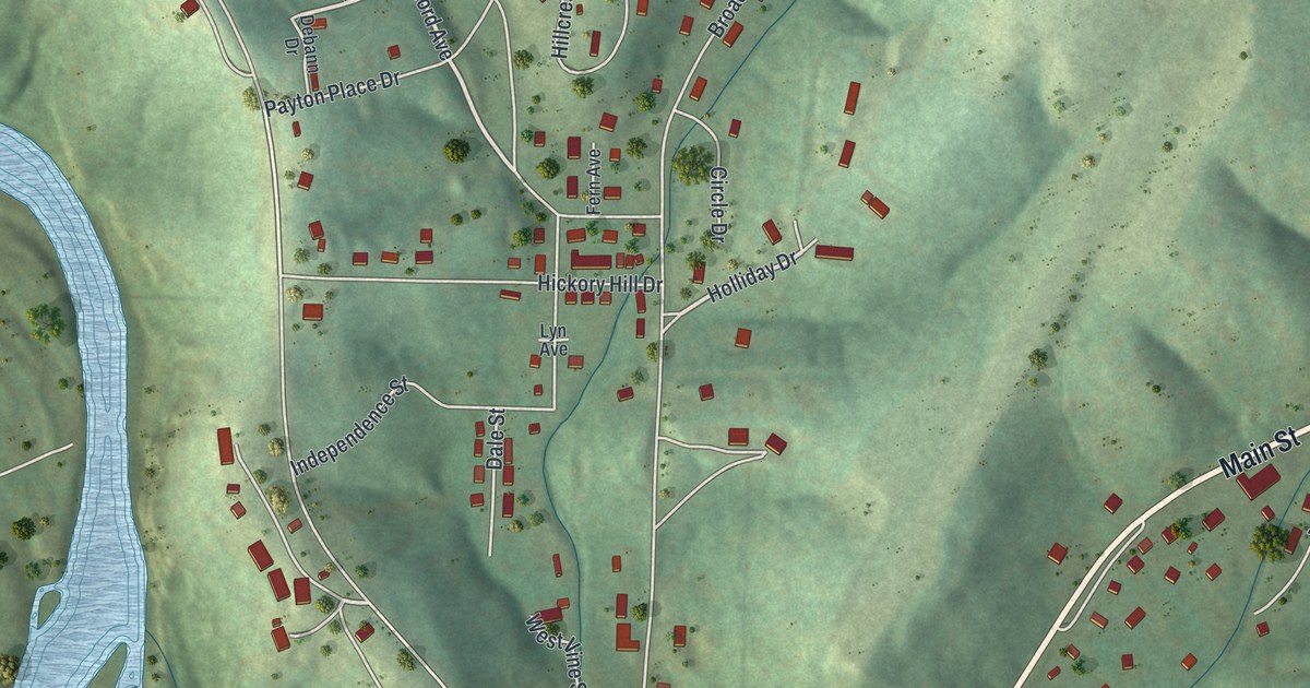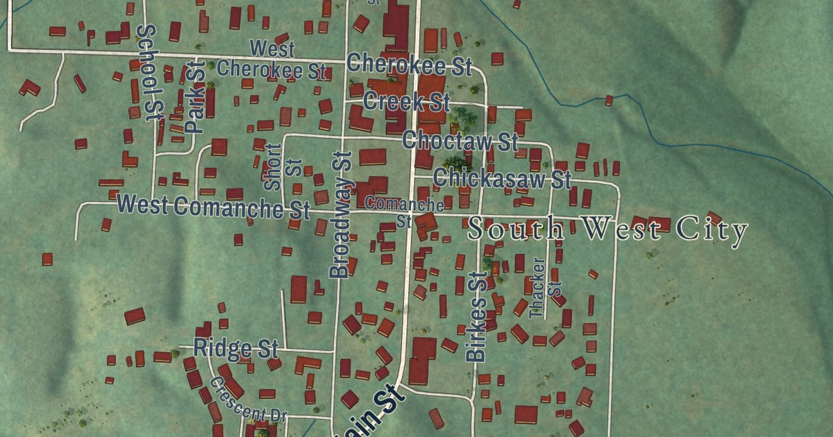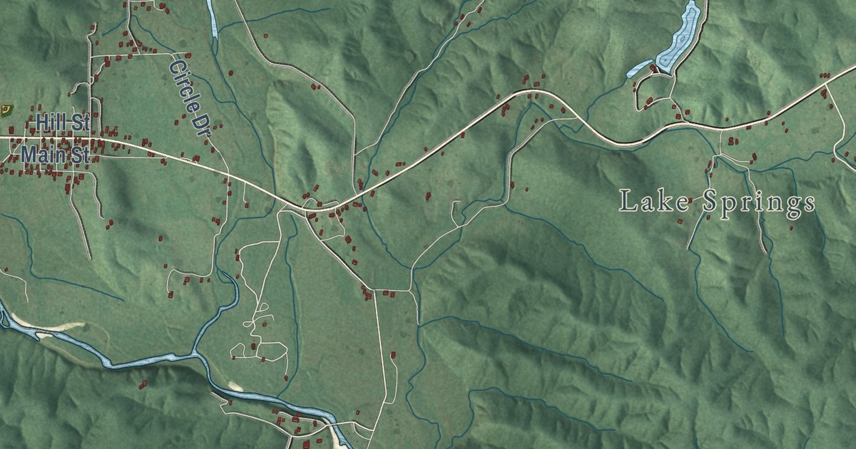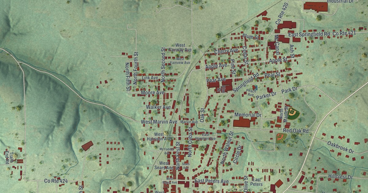
This beautifully detailed map of Owensville, Missouri was created in 2026 using aerial imagery combined with modern topographical, census, street and landmark data. It’s a one-of-a-kind view of Owensville that combines accurate data with a vintage aesthetic. The map shows every building in its true location, many of the roads carry their names, and the shaded topographic relief shows the shape of the land.
Explore an aerial view of Owensville, Missouri
On the map you’ll find West Lincoln Avenue, East Lincoln Avenue, South Olive Street, South First Street, East Jackson Avenue, North First Street, South Second Street, Apple Avenue, East Peters Avenue, Apple Street, Franklin Avenue, Springfield Road, and more. If you look closely you can even find your house accurately drawn in its correct location. Zoom in on the preview to look for yours.
Did you know this piece of Owensville, Missouri history?
Owensville was named for merchant Frank Owens. Local legend says Owens and blacksmith Edward Luster settled on the name over a game of horseshoes in 1846. The town was formally laid out in 1886, when the Chicago, Rock Island and Pacific Railroad arrived.
Take a closer look at the Owensville map
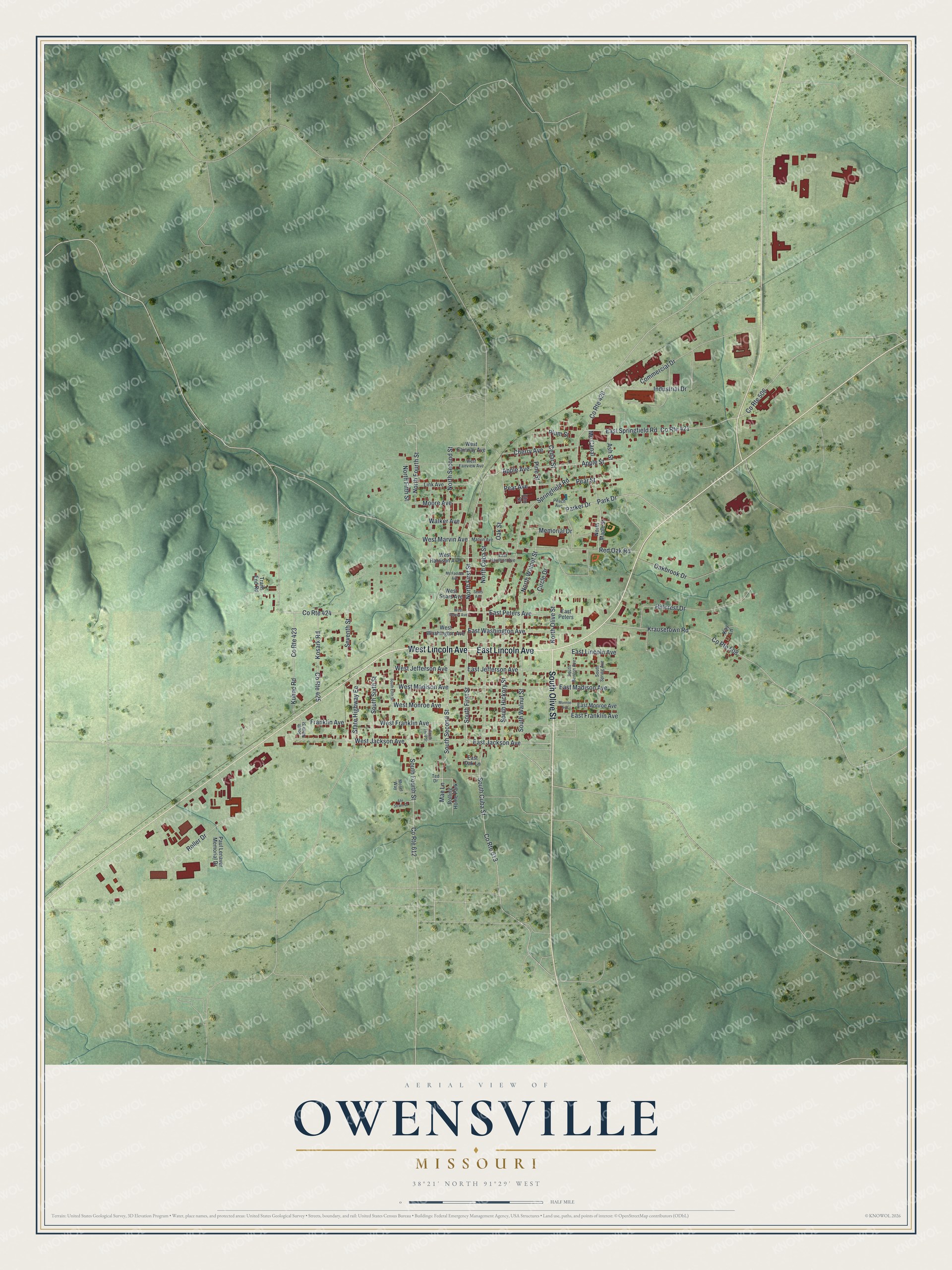
Street and place names on the Owensville, Missouri map
These names are printed on the map of Owensville, Missouri.
Places: Rolling Home Park.
Streets and roads: West Lincoln Avenue, East Lincoln Avenue, South Olive Street, South First Street, East Jackson Avenue, North First Street, South Second Street, Apple Avenue, East Peters Avenue, Apple Street, Franklin Avenue, County Route 424.
More street names, A to Z
Ahr Stram Drive, Ash Street, Cedar Street, Cherry Avenue, Circle Drive, Commercial Drive, County Route 420, County Route 421, County Route 423, County Route 425, County Route 506, County Route 508, County Route 612, County Route 613, East Franklin Avenue, East Harrison Avenue, East Jefferson Avenue, East Madison Avenue, East Monroe Avenue, East Oak Lane, East Peters, East Springfield Road, East Washington Avenue, Elm Street, Hillcrest Drive, Industrial Drive, Kay Lane, Kosark Road, Krausetown Road, Kuhne Road, Link Avenue, Mae Lane, Marvin Avenue, Mc Canal, Mc Fadden Avenue, Memorial Drive, Monroe Avenue, Moore Avenue, Mosel Way, North Cuba Street, North Fifth Street, North Fourth Street, North Maple Street, North Olive Street, North Second Street, North Walnut Street, Oakbrook Drive, Oak Street, Park Drive, Parker Drive, Paul Lenaver Memorial Drive, Peach Avenue, Pear Avenue, Pear Street, Pine Street, Plum Street, Red Oak Road, Roller Drive, Sears Avenue, Seventh Street, South Benton Avenue, South Cuba Street, South Fifth Street, South Fourth Street, South Hickory Street, South Ninth Street, South Sixth Street, South Spring Avenue, South Third Street, South Walnut Street, Springfield Road, State Highway Ee, Ted Drive, Trails End Road, Walker Avenue, West Fairview Avenue, West Fairway Avenue, West Franklin Avenue, West Harrison Avenue, West Jackson Avenue, West Jefferson Avenue, West Madison Avenue, West Marvin Avenue, West Monroe Avenue, West Peters Avenue, West Sears Avenue, West Washington Avenue.
See the Owensville, Missouri map on a wall
The Owensville map as an 18 x 24 inch print in a black frame.

This beautifully detailed map of Owensville makes an attractive addition to your office, library, or den, and it can even be used to teach children the geography and history of the area. It also makes a great gift for anyone with Owensville roots. When you’re done exploring, click here to get your copy of the Owensville map.