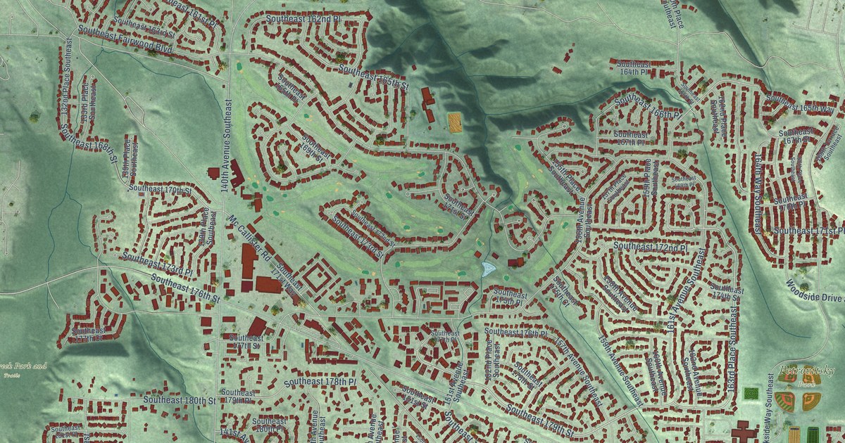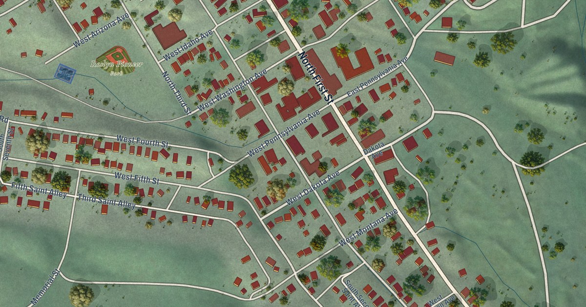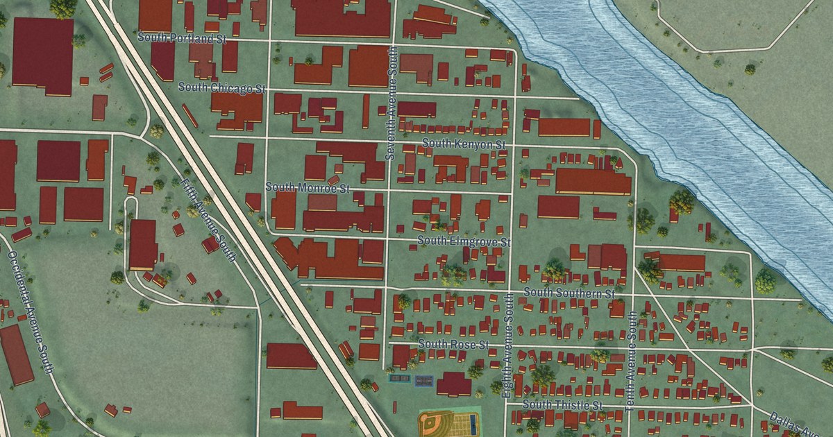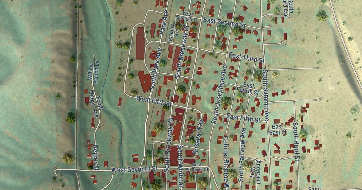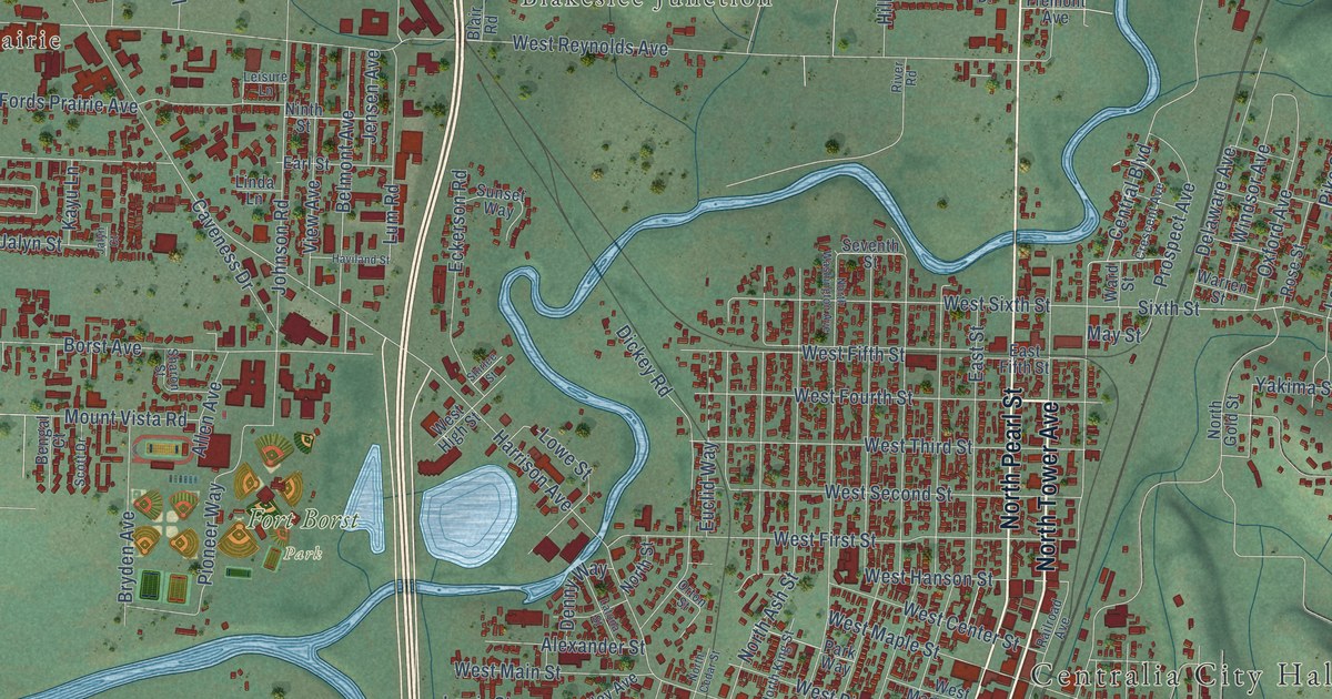
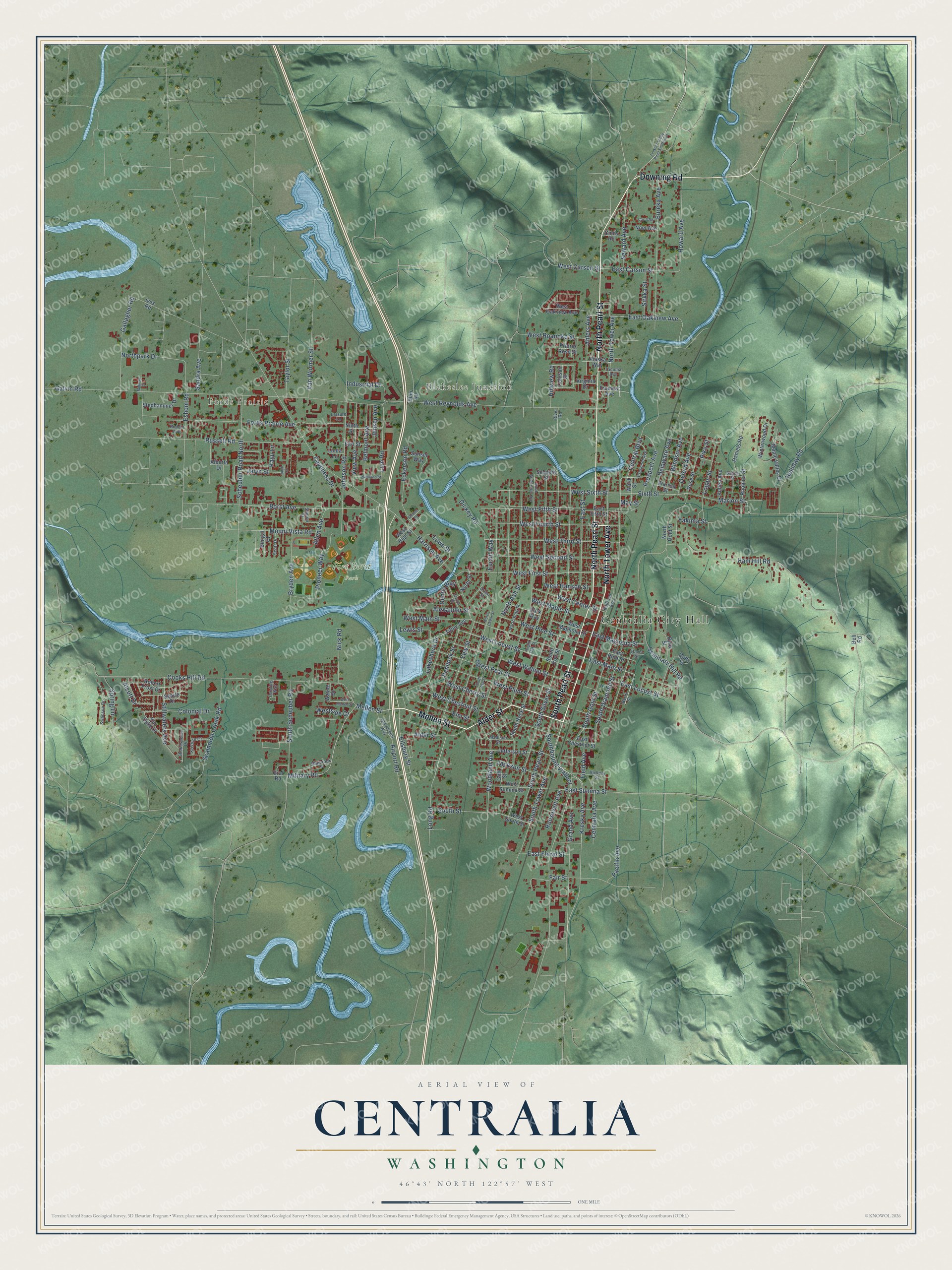
This beautifully detailed map of Centralia, Washington was created in 2026 using aerial imagery combined with modern topographical, census, street and landmark data. It’s a one-of-a-kind view of Centralia that combines accurate data with a vintage aesthetic. The map shows every building in its true location, many of the roads carry their names, and the shaded topographic relief shows the shape of the land.
Explore an aerial view of Centralia, Washington
On the map you’ll find Centralia City Hall, Fords Prairie, Blakeslee Junction, and Fort Borst Park, along with North Pearl Street, North Tower Avenue, Mellen Street, South Pearl Street, Alder Street, Downing Road, South Tower Avenue, Military Road, and more. If you look closely you can even find your house accurately drawn in its correct location. Zoom in on the preview to look for yours.
Did you know this piece of Centralia, Washington history?
From the 2024 HistoryLink.org essay: "Centralia Shingle Mills produced twenty-two million shingles in 1898. The Wooden Eave Gutter Factory produced thousands of feet of gutters daily."
Take a closer look at the Centralia map
Street and place names on the Centralia, Washington map
These names are printed on the map of Centralia, Washington.
Places: Centralia City Hall, Fords Prairie, Blakeslee Junction and Fort Borst Park.
Streets and roads: North Pearl Street, North Tower Avenue, Mellen Street, South Pearl Street, Alder Street, Downing Road, South Tower Avenue, Military Road, East Main Street, Kresky Avenue, East Magnolia Street, Alcott Drive.
More street names, A to Z
Ahlers Avenue, Airport Road, Alaska Way, Alberta Drive, Alexander Street, Allen Avenue, Bayne Street, Bell Road, Belmont Avenue, Bengal Court, Berry Street, Blair Road, Borst Avenue, Bryden Avenue, Byrd Street, Carol Road, Caveness Drive, Central Boulevard, Centralia Avenue, Cindy Road, Collison Street, Colonial Drive, Cooks Hill Road, Crescent Avenue, Daniels Road, Davis Street, Delaware Avenue, Denny Way, Dickey Road, Duffy Street, Earl Street, East Carson Street, East Chestnut Street, East Fifth Street, East Floral Street, East Locust Street, East Oakview Avenue, East Pine Street, East Street, East Summa Street, Eckerson Road, Ellsbury Street, Elm Street, Eshom Road, Euclid Way, Eureka Avenue, Fair Street, Field Avenue, Fords Prairie Avenue, Fremont Avenue, Gallagher Road, Galvin Road, Goff Street, Graf Road, Grand Avenue, Halliday Road, Ham Hill Road, Harrison Avenue, Haviland Street, Hemlock Street, Hickory Street, Hillview Road, Howard Avenue, Industrial Drive, Ives Road, Jackson Street, Jalyn Court, Jalyn Street, Jefferson Street, Jensen Avenue, Johnson Road, Kayu Lane, Kristine Court, Kulien Avenue, Lakeshore Drive, Landing Way, Latona Street, Leisure Lane, Lewis Street, Linda Lane, Logan Street, Long Road, Lowe Street, Lum Road, Madison Street, Maple Valley Drive, Marion Street, May Street, Midway Court, Mount Vista Road, Nick Road, Ninth Street, Noel Avenue, North Ash Street, North Cedar Street, North Gold Street, North King Street, Northpark Drive, North Street, North Washington Avenue, Old Airport Way, Orton Street, Oxford Avenue, Pacific Avenue, Park Way, Pike Street, Pioneer Way, Prairie Rose Street, Prospect Avenue, Railroad Avenue, Rhobina Street, River Road, Robert Frost Drive, Rodcin Avenue, Roosevelt Avenue, Rose Street, Russell Road, Sandra Avenue, Scammon Creek Road, Scheuber Road North, Scott Drive, Searle Drive, Seminary Hill Road, Seventh Street, Seward Avenue, Shakespeare Drive, Shamrock Drive, Sharon Street, Shirlee Street, Sirkka Street, Sixth Street, South Ash Street, Southbound Viaduct, South Diamond Street, South Gold Street, South Iron Street, South Oak Street, South Rock Street, South Scheuber Road, South Silver Street, South Street, Spring Lane, Stedhammer Drive, Stillwaters Avenue, Sunset Way, Swanson Drive, Tacoma Avenue, Taylor Street, Tilley Avenue, Van Dyke Drive, Van Wormer Street, View Avenue, Virginia Drive, Ward Street, Warren Street, Wayne Drive, West Carson Street, West Center Street, West Cherry Street, West Chestnut Street, West Fifth Street, West First Street, West Fourth Street, West Hanson Street, West High Street, West Locust Street, West Magnolia Street, West Main Street, West Maple Street, West Mellen Street, West Oakview Avenue, West Pear Street, West Pine Street, West Plum Street, West Reynolds Avenue, West Roanoke Street, West Second Street, Westside Court, West Sixth Street, West South Street, West Summa Street, West Third Street, West Walnut Street, Windsor Avenue, Winterwood Drive, Woodland Avenue, Yakima Street, Yew Street, Zenkner Valley Road Southwest.
See the Centralia, Washington map on a wall
The Centralia map as an 18 x 24 inch print in a black frame.

This beautifully detailed map of Centralia makes an attractive addition to your office, library, or den, and it can even be used to teach children the geography and history of the area. It also makes a great gift for anyone who grew up in Centralia or moved away. When you’re done exploring, click here to get your copy of the Centralia map.