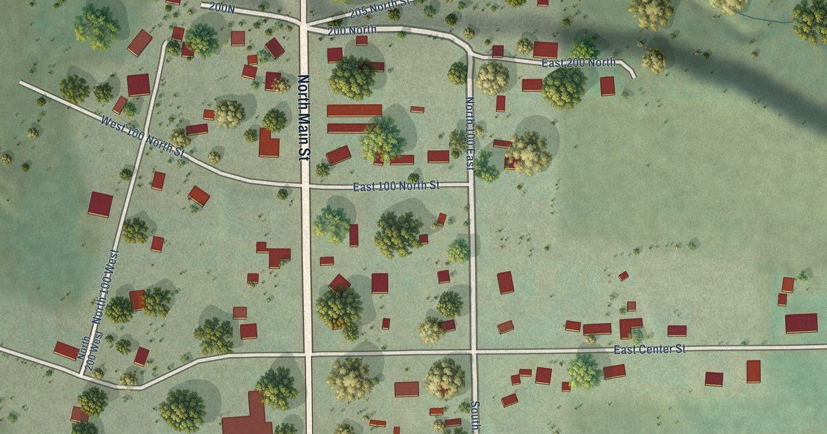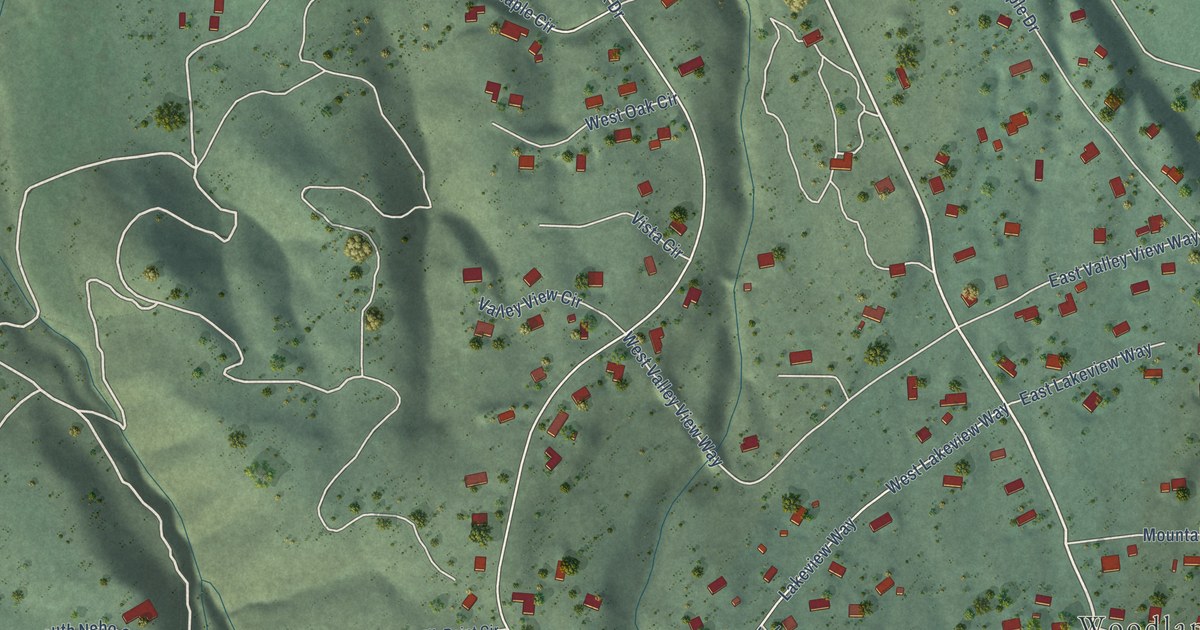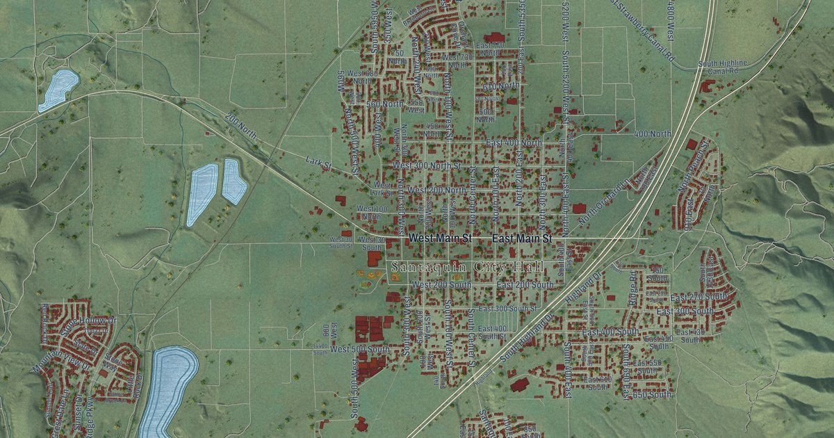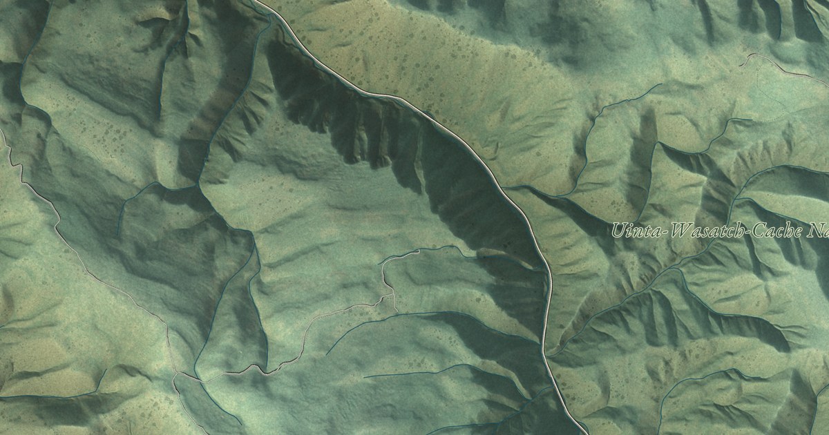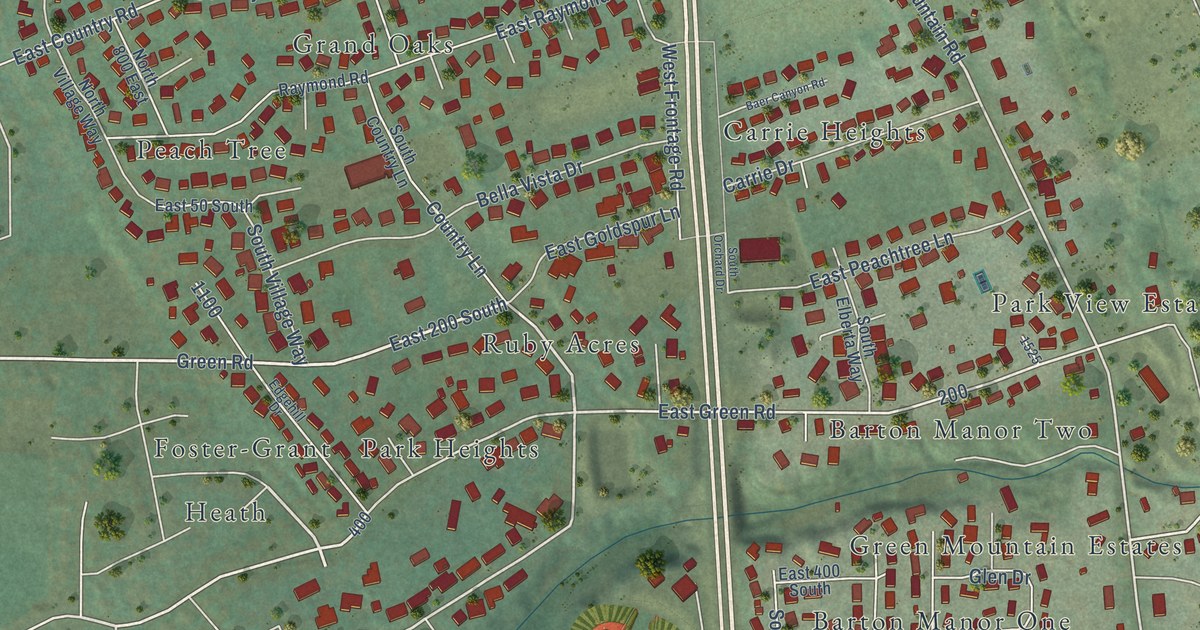
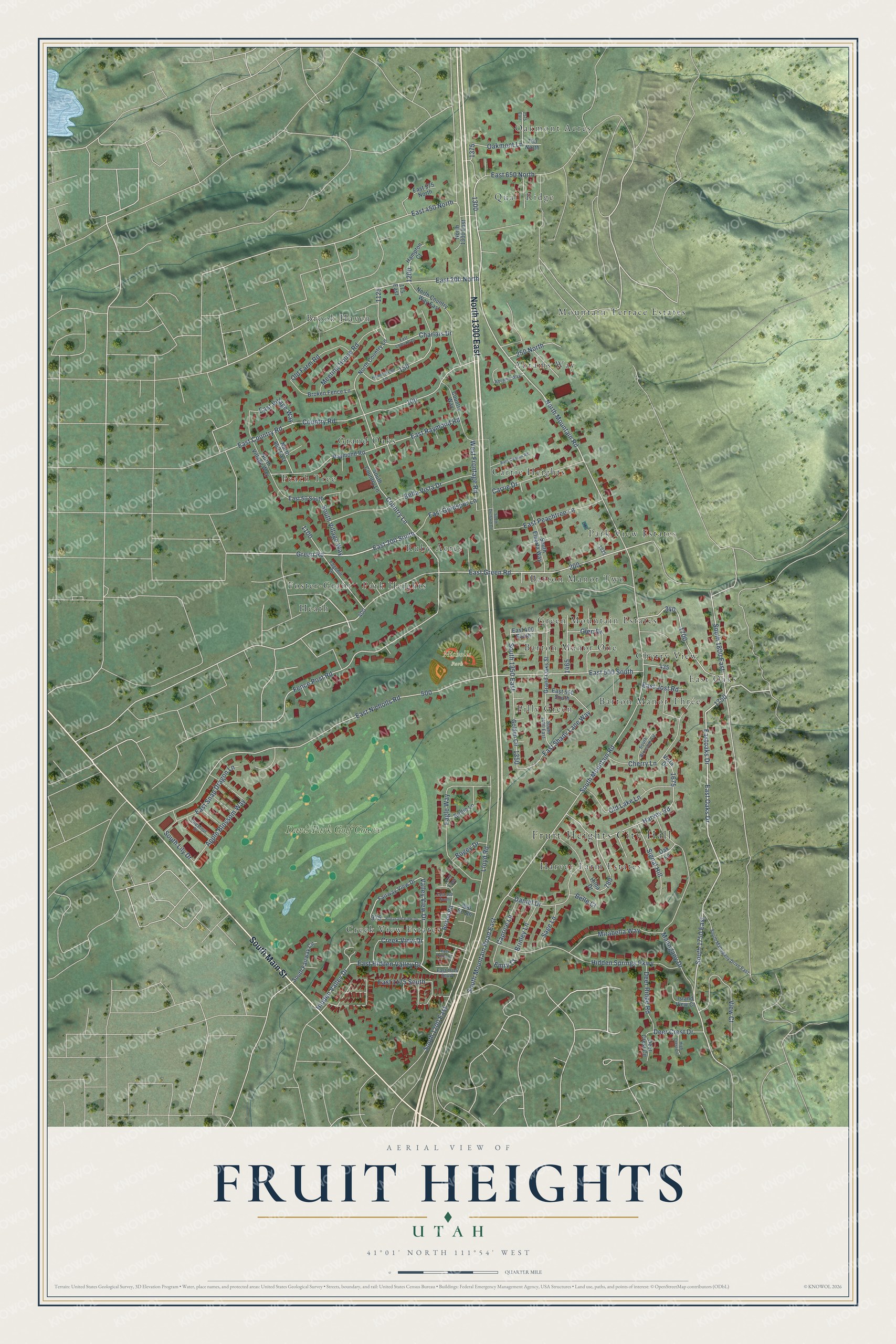
This beautifully detailed map of Fruit Heights, Utah was created in 2026 using aerial imagery combined with modern topographical, census, street and landmark data. It's a modern aerial view of Fruit Heights in Davis County, Utah, that combines modern data with a vintage aesthetic. The roads feature printed names, and if you look closely you can find your exact house accurately shown in its correct location.
Explore an aerial view of Fruit Heights, Utah
On this map you'll find Fruit Heights City Hall, Nicholls Park, Abrams Way, Barton Manor One, Barton Manor Three, Barton Manor Two, Brook Haven, Carrie Heights, Cherry View, Creek View Estates, East Oaks, Foster-Grant, and more. Each red shape is a building, so zoom in on the preview and look for yours.
Here is a piece of Fruit Heights history, in the words of the record. The OnlineUtah puts it this way: "An early name for the site was East Kaysville, a name used until August 23, 1939, when it was changed to Fruit Heights."
Fruit Heights is a city in Davis County. The Census Bureau counted 6,101 people here in 2020.
Take a closer look at the Fruit Heights map
Names on this map
These names are printed on this map.
Places: Fruit Heights City Hall, Nicholls Park, Abrams Way, Barton Manor One, Barton Manor Three, Barton Manor Two, Brook Haven, Carrie Heights, Cherry View, Creek View Estates, East Oaks, Foster-Grant, Grand Oaks, Green Mountain Estates, Harvey Farm Estates, Heath, Mountain Terrace Estates, Oakmont Acres, Park Heights, Park View Estates, Peach Tree, Pilly Green, Quail Ridge, Ruby Acres and Davis Park Golf Course.
Streets and roads: North 1300 East, South Main Street, East Oaks Drive, South 1750 East, East Green Road, North Mountain Road, East 200 South, Green Road, Valley View Drive, East 200 North, Hidden Valley Drive, Lloyd Road.
More street names, A to Z
175 East, 250 North, 700 North, 960 South, 1215 East, 1375 East, Apple Blossom Way, Baer Canyon Road, Bella Vista Drive, Belle Court, Birdie Lane, Bogey Drive, Brinley Lane, Bristol Road, Broken Fence Lane, Caprice Lane, Carrie Drive, Charlais Drive, Cherry Lane, Chestnut Drive, Country Lane, Country Road, Country Way, Creek View Drive, Daniel Drive, Deer Crest Circle, Deer Crest Drive, Deer Ridge Road, Eagle Way, East 50 South, East 400 South, East 450 North, East 500 South, East 550 South, East 575 North, East 650 North, East 960 South, East 1015 South, East 1175 South, East Charlais Drive, East Country Road, East Goldspur Lane, East Hidden Valley Drive, East Jost Road, East Nicholls Road, Eastoaks Drive, East Peachtree Lane, East Raymond Road, East Roma Drive, East Shady Lane Way, East Snap Dragon Lane, East Village Way, Edgehill Drive, Emry Court, Fairway View Drive, Fence Post Road, Glen Drive, Golden Circle, Grand Oaks Street, Hampton Court, Harvey Road, Hidden Springs Parkway, High Crest Circle, Hilda Drive, Homestead Lane, Island View Court, Mahogany Drive, Meeting House Road, Mirabella Way, North 800 East, North Country Lane, North Country Way East, North Village Way, Oak Lane, Oakmont Lane, Old Farm Road, Old Lake Lane, Pheasant View Drive, Raymond Road, Sage Lane, Signal Hill, South 1200 East, South 1350 East, South 1400 East, South 1800 East, South Blossom Circle, South Country Lane, South Elberta Way, South Fairway Circle, South Lily Drive, South Mahogany Drive East, South Mountain Road, South Mountain Road East, South Orchard Drive, South Village Way, View Court, Vista Drive, West Frontage Road.
Created by KNOWOL in 2026. The buildings are small red shapes, the roads carry their printed names, and shaded relief shows the shape of the land. The title panel reads "AERIAL VIEW OF FRUIT HEIGHTS UTAH" with 41°01' NORTH 111°54' WEST.
It suits a den, a classroom or a front hall, and it makes a gift for anyone with Fruit Heights roots. Open the preview and find the block you know. See sizes and frames for the Fruit Heights map.