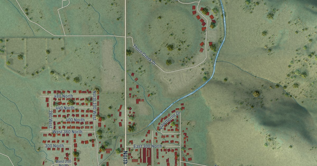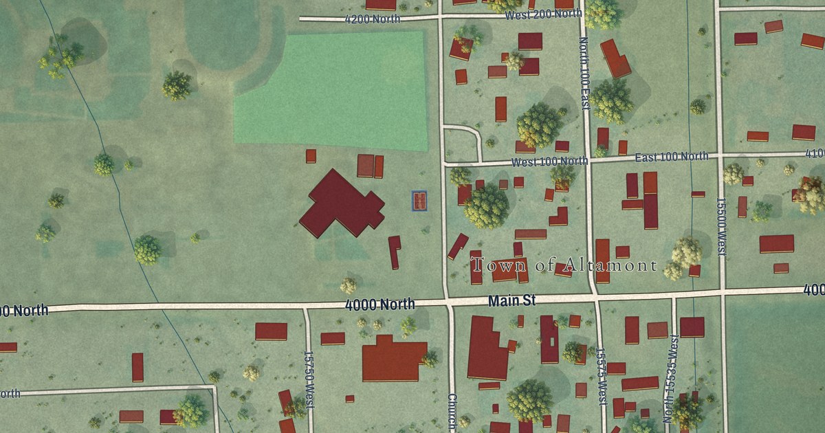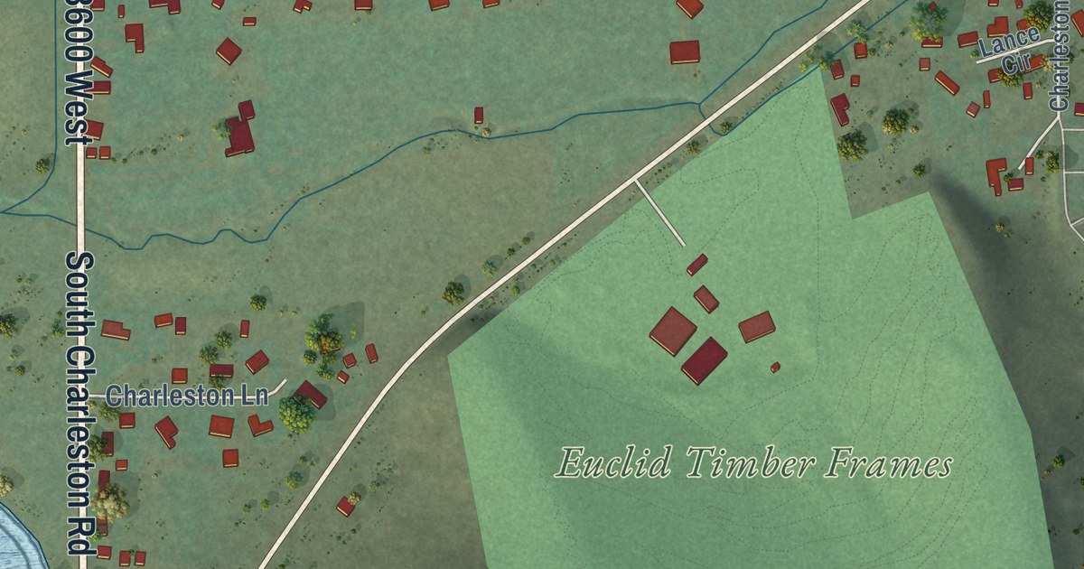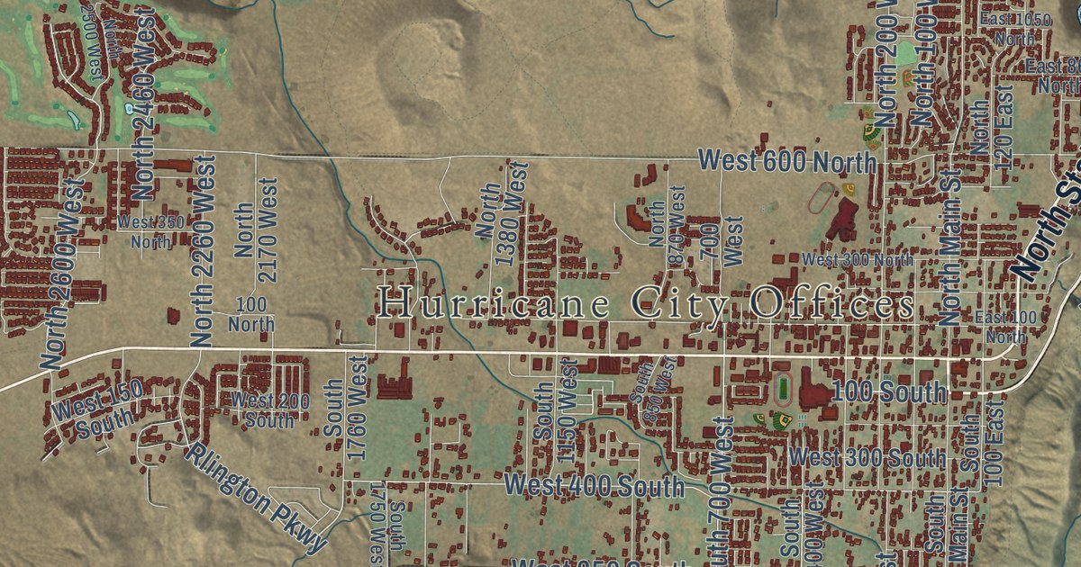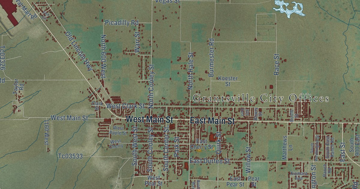
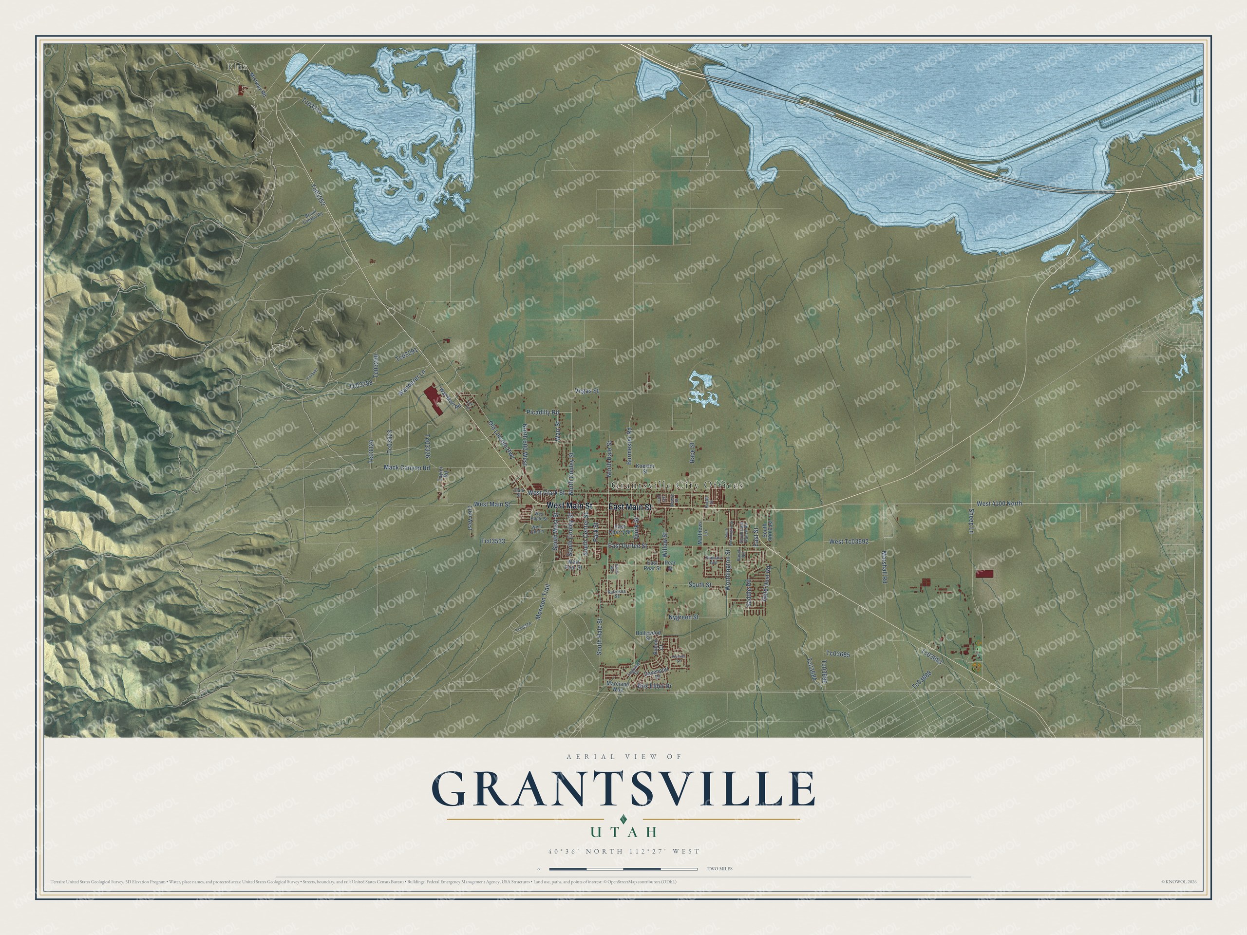
This beautifully detailed map of Grantsville, Utah was created in 2026 using aerial imagery combined with modern topographical, census, street and landmark data. It’s a one-of-a-kind view of Grantsville that combines accurate data with a vintage aesthetic. The map shows every building in its true location, many of the roads carry their names, and the shaded topographic relief shows the shape of the land.
Explore an aerial view of Grantsville, Utah
On the map you’ll find Grantsville City Offices and Flux, along with West Main Street, East Main Street, South Hale Street, North Cooley Street, North Hale Street, South Cooley Street, Picadilly Road, South West Street, East Durfee Street, Worthington Street, and more. If you look closely you can even find your house accurately drawn in its correct location. Zoom in on the preview to look for yours.
Did you know this about Grantsville, Utah?
From the National Register of Historic Places: "Since its construction, the Grantsville School has seen a minimum of alteration; consequently it is one of the oldest, and perhaps best preserved, schoolhouses in Utah."
Take a closer look at the Grantsville map
Street and place names on the Grantsville, Utah map
These names are printed on the map of Grantsville, Utah.
Places: Grantsville City Offices and Flux.
Streets and roads: West Main Street, East Main Street, South Hale Street, North Cooley Street, North Hale Street, South Cooley Street, Picadilly Road, South West Street, East Durfee Street, Worthington Street, Sheep Lane, Old Lincoln Highway.
More street names, A to Z
325 East, 1160 West, Booth Street, Bowry Street, Box Elder Drive, Broad Canyon Road, Brock Way, Burmester Road, Clark Street, Davenport Drive, East Cherry Street, East Pear Street, East Street, Fox Circle, Gold Dust Road, Hollywood Street, Katresha Street, Koester Street, Legrand Drive, Mack Canyon Road, Marciano Way, Marshall Road, Matthews Lane, Mistway Road, Mormon Trail, North 600 West, Nygreen Street, Park Street, Pear Street, Premier Lane, Quirk Street, Race Street, Ranch Road, Ruben Court, Saddle Road, South 900 East, South Center Street, South East Ranch Road, South Street, South Worthington Street, Taylor Road, Tc03244, Tc03252, Tc03288, Tc03290, Tc03291, Tc03323, Tc03324, Tc03326, Tc03378, Tc03487, Tc03533, Tc03683, Tc03684, Tc03685, Tc03686, Tc03688, Vegas Street, Wal-Mart Road, Wanderer Lane, Warr Street, West 4100 North, West Apple Street, West Cherry, West Clark Street, West Pear Street, West Tc03692, Willow Street, Xiomara Avenue.
See the Grantsville, Utah map on a wall
The Grantsville map as an 18 x 24 inch print in a black frame.

This beautifully detailed map of Grantsville makes an attractive addition to your office, library, or den, and it can even be used to teach children the geography and history of the area. It also makes a great gift for someone who left Grantsville and still calls it home. When you’re done exploring, click here to get your copy of the Grantsville map.