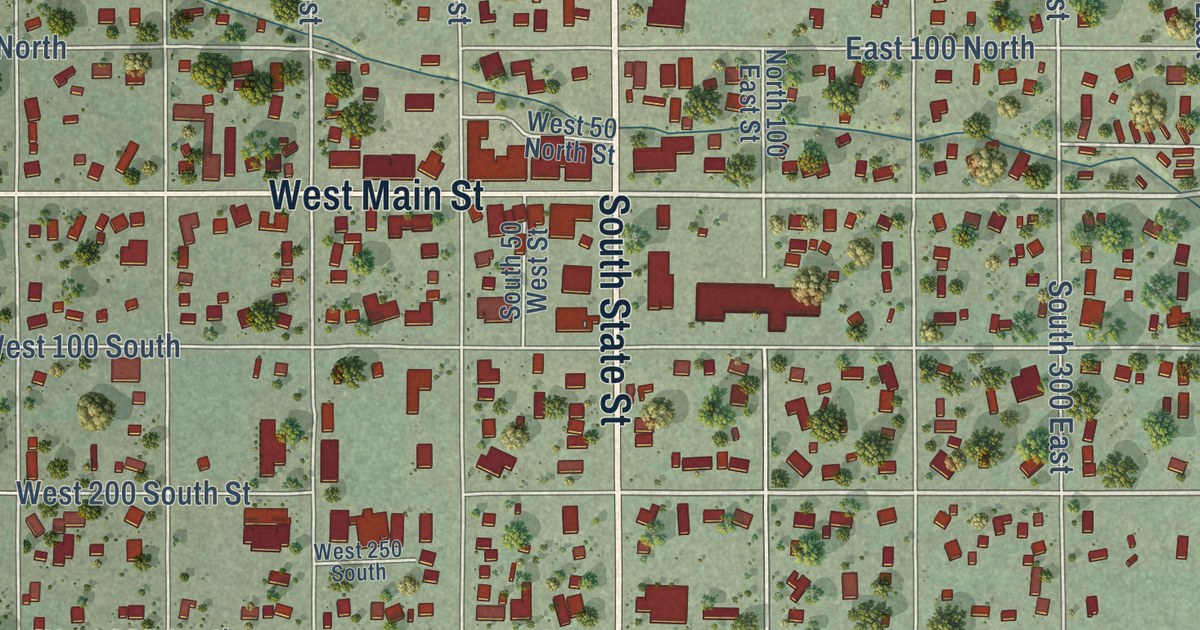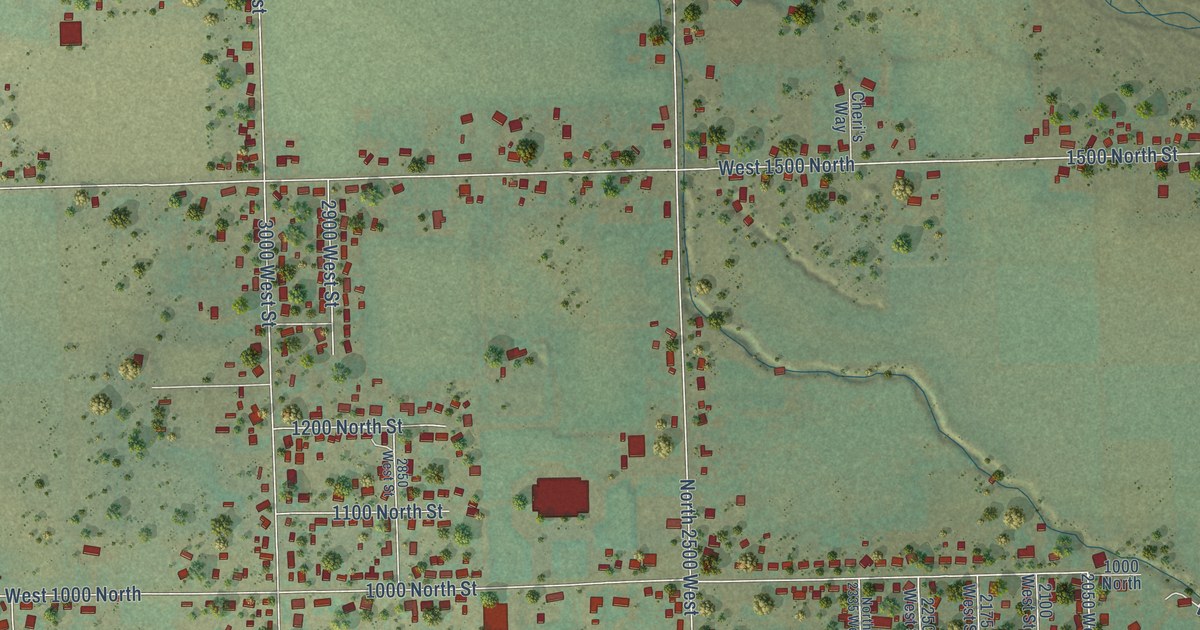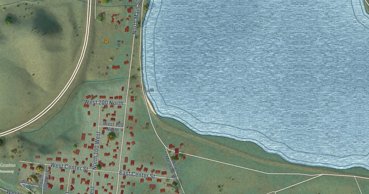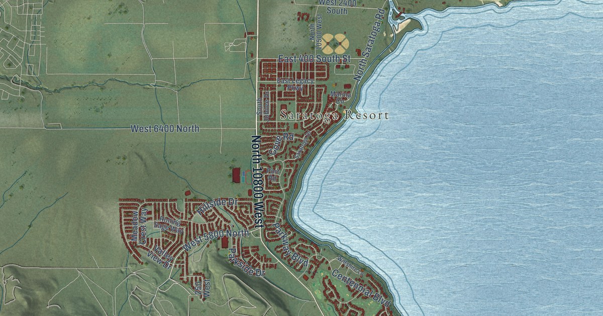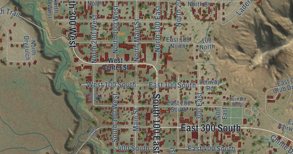
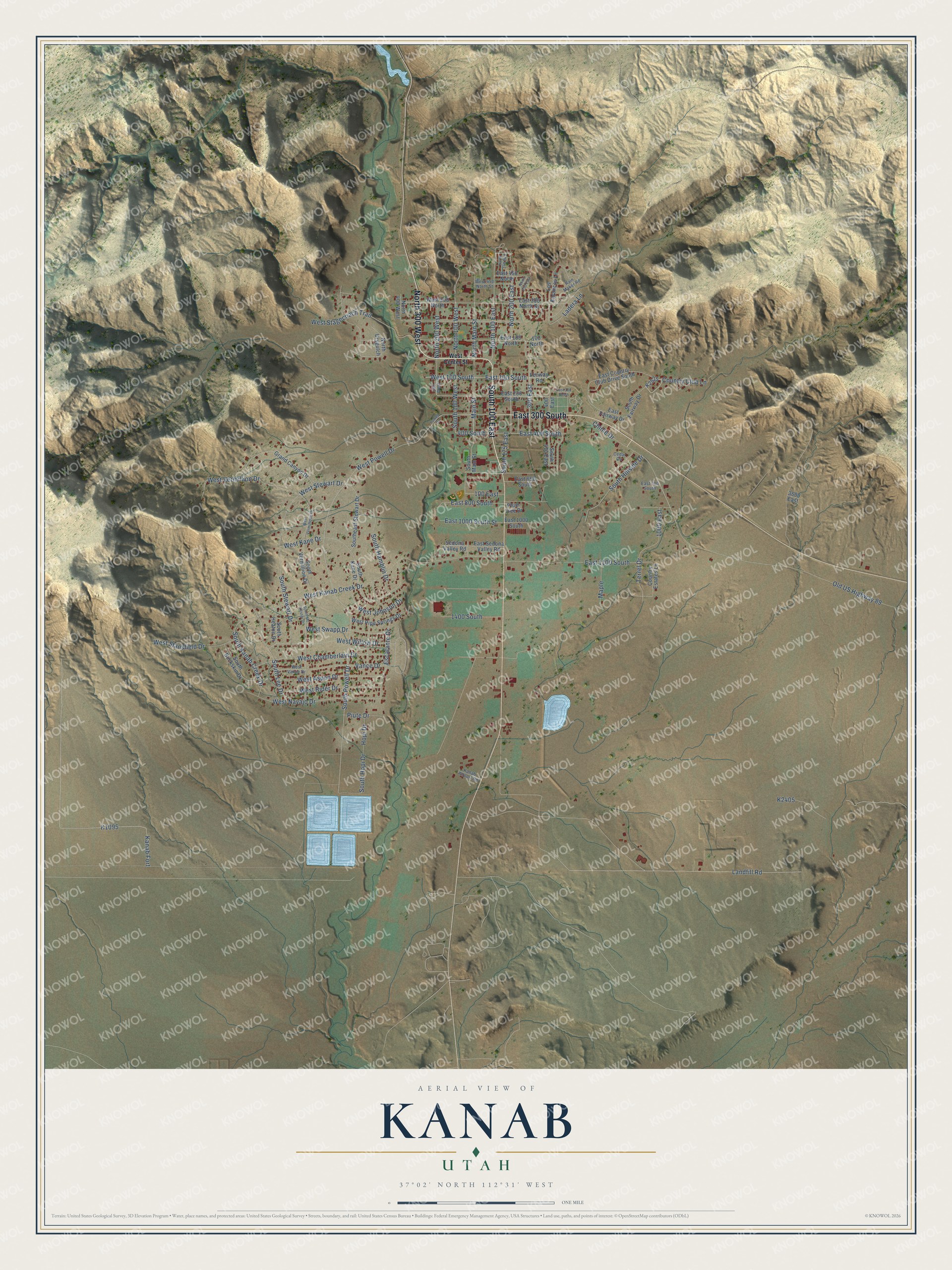
This beautifully detailed map of Kanab, Utah was created in 2026 using aerial imagery combined with modern topographical, census, street and landmark data. It’s a one-of-a-kind view of Kanab that combines accurate data with a vintage aesthetic. The map shows every building in its true location, many of the roads carry their names, and the shaded topographic relief shows the shape of the land.
Explore an aerial view of Kanab, Utah
On the map you’ll find South 100 East, East 300 South, North 300 West, West 100 South, East 100 South, 300 East, South 100 West, North 100 West, and East 100 North, along with Main Street, North Main Street, Southeast Stewart Drive, and more. If you look closely you can even find your house accurately drawn in its correct location. Zoom in on the preview to look for yours.
Did you know this piece of Kanab, Utah history?
From the Utah Division of State History: "Although the railroad never came as far south and east as Kanab, the Deseret Telegraph line came to town in 1871 and connected the area to the rest of the world."
Take a closer look at the Kanab map
Street names on the Kanab, Utah map
These names are printed on the map of Kanab, Utah.
Streets and roads: South 100 East, East 300 South, North 300 West, Main Street, West 100 South, East 100 South, South 100 West, 300 East, North 100 West, North Main Street, North 100 East, 100 East.
More street names, A to Z
100 North, 200 West, 400 East, 400 South, 1000 East, 1400 South, 3600 East, Cedar Circle, Chinle Drive, Country Club Lane, Country Estates Lane, East 100 North, East 180 South, East 200 South, East 300 North Street, East 400 South, East 450 North, East 650 South, East 700 South, East 800 South, East 1000 South, East 1000 South Street, East 1100 South, East Country Club Drive South, East Fairway Drive, East Sedona Valley Road, Escalante Drive, Fenway Road, Grand Canyon Drive, Hopi Drive, Kanab Airport Road, Kanab Fort, Ladera Lane, Landfill Road, Los Barancos Lane, Maple, North 140 East, North 200 East, North 200 West, North 250 East, North 400 West, North Drygulch, Old US Highway 89, Piute Drive, Plum Tree Drive, Powell Drive, Rain Maker Road, Sedona Valley Road, South 175 East, South 410 East, South Buckskin Drive, Southeast Stewart Drive, South Fairway Drive, South Hamblin Drive, South Heaton Drive, South Hillside Drive, South Hopi Drive, South Kanab Creek Drive, South Kane Drive, South Lee Drive, South Main Street, South Mc Allister Drive, South Powell Drive, South Stewart Drive, South Vermillion Drive, Terrel Drive, Vance Drive, West 300 North, West 450 North Street, West Aspen Drive, West Center Street, West Chamberlain Drive, West Johnson Drive, West Kanab Creek Drive, West Kane Drive, West Navajo Drive, West Pipe Springs Drive, West Powell Drive, West Rider Drive, West Stagecoach Trail, West Stansfield Drive, West Stewart Drive, West Swapp Drive, West Vance Drive, West Vermillion Drive, West Vermillioon Drive, West Willow Drive.
See the Kanab, Utah map on a wall
The Kanab map as an 18 x 24 inch print in a black frame.

This beautifully detailed map of Kanab makes an attractive addition to your office, library, or den, and it can even be used to teach children the geography and history of the area. It also makes a great gift for anyone who grew up in Kanab or moved away. When you’re done exploring, click here to get your copy of the Kanab map.