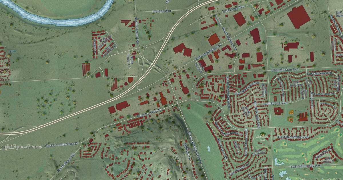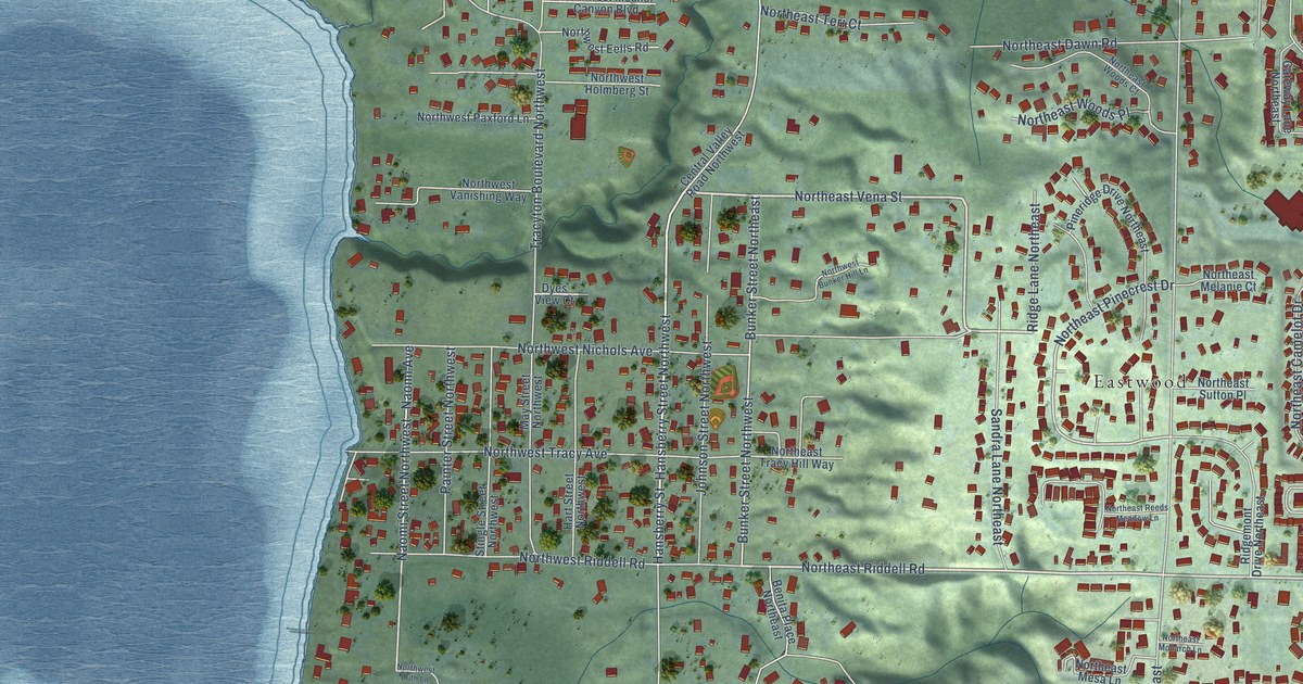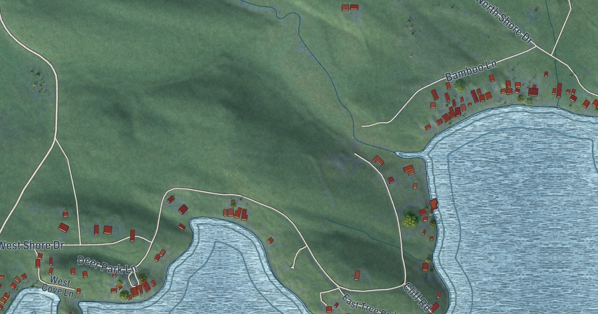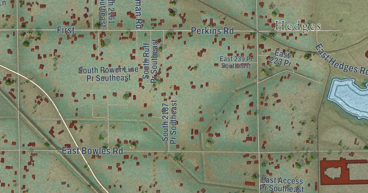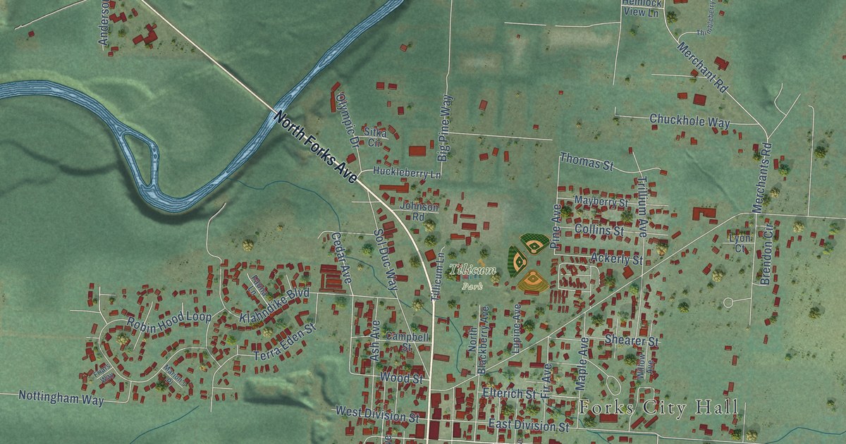
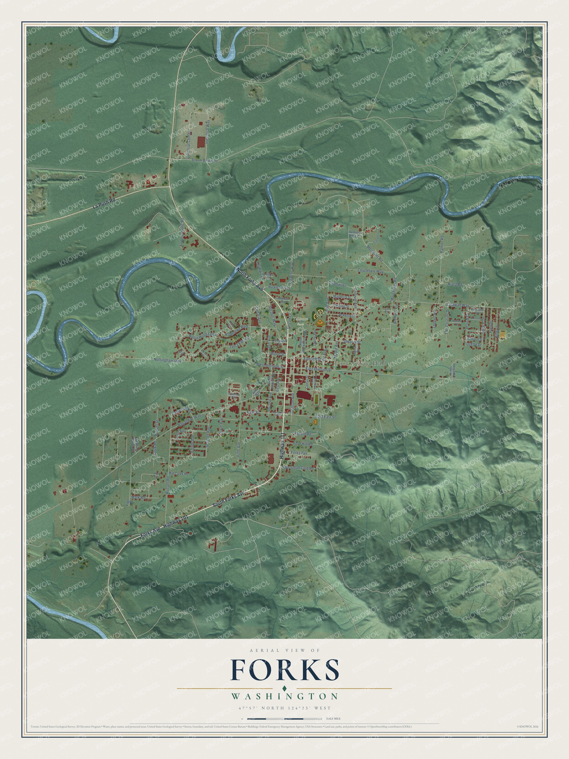
This beautifully detailed map of Forks, Washington was created in 2026 using aerial imagery combined with modern topographical, census, street and landmark data. It’s a one-of-a-kind view of Forks that combines accurate data with a vintage aesthetic. The map shows every building in its true location, many of the roads carry their names, and the shaded topographic relief shows the shape of the land.
Explore an aerial view of Forks, Washington
On the map you’ll find Forks City Hall and Tilicum Park, along with Highway 101, South Forks Avenue, North Forks Avenue, La Push Road, Forks Avenue, Wood Street, Bogachiel Way, Cedar Avenue, Calawah Way, Ford Drive, and more. If you look closely you can even find your house accurately drawn in its correct location. Zoom in on the preview to look for yours.
Did you know this piece of Forks, Washington history?
From HistoryLink.org: "Timber baron Michael Earles, later developer of the first Soleduck hot springs resort, set up booming logging camps at the turn of the century at Crescent Bay and west along the strait, and many settlers from Forks worked in these camps part of the year."
Take a closer look at the Forks map
Street and place names on the Forks, Washington map
These names are printed on the map of Forks, Washington.
Places: Forks City Hall and Tilicum Park.
Streets and roads: Highway 101, South Forks Avenue, North Forks Avenue, La Push Road, Forks Avenue, Wood Street, Bogachiel Way, Cedar Avenue, Calawah Way, Ford Drive, Pine Avenue, East Division Street.
More street names, A to Z
Ackerly Street, Andersonville Road, Ash Avenue, Big Pine Way, Brendon Circle, Brower Street, Camas Street, Campbell Street, Chuckhole Way, Collins Street, Cook Road, Crescent Street, Danielson Road, East East Street, East Street, East Street West, Eighth Avenue, Elterich Street, Fauna Lane, Fern Hill Road, Fifth Avenue, Fir Avenue, First Avenue, Founders Way, Friars Way, Hemlock View Lane, Hoh Avenue, Huckleberry Lane, Industrial Center, Industrial Way, Johnson Road, Julia Way, King Lane, Kings Ranch Road, Klahndike Boulevard, Leppell Road, Lupine Avenue, Lyon Court, Maple Avenue, Marion's Place, Mark Road, Mayberry Street, Merchant Road, Merchants Road, Mill Creek Road, Mullins Lane, Ninth Avenue, North Blackberry Avenue, Nottingham Way, Olympic Drive, Ozette Drive, Page Road, Palmer Road, Pleasant Street, Prairie Drive, Quinault Street, Rankin Road, Riata Road, Robbins Rental Road, Robin Hood Loop, Russell Road, Second Avenue, Seventh Avenue, Shearer Street, Sitka Circle, Sitkum-Solduc Road, Sixth Avenue, Sol Duc Way, South Elderberry Avenue, South Second Avenue, Spartan Avenue, Sportsman Club Road, Spruce Drive, Terra Eden Street, Thimbleberry Lane, Thomas Street, Tillicum Lane, Trillium Avenue, Two Cousins Drive, West Division Street, Willow Avenue.
See the Forks, Washington map on a wall
The Forks map as an 18 x 24 inch print in a black frame.

This beautifully detailed map of Forks makes an attractive addition to your office, library, or den, and it can even be used to teach children the geography and history of the area. It also makes a great gift for anyone with Forks roots. When you’re done exploring, click here to get your copy of the Forks map.