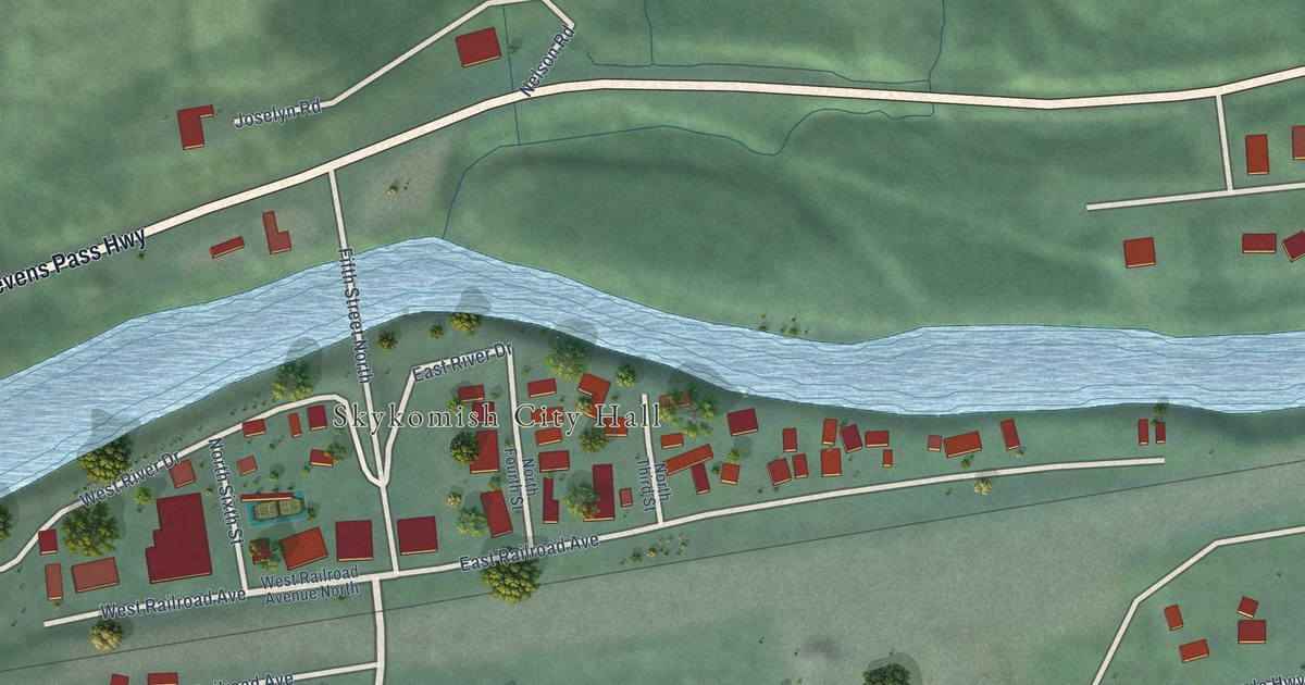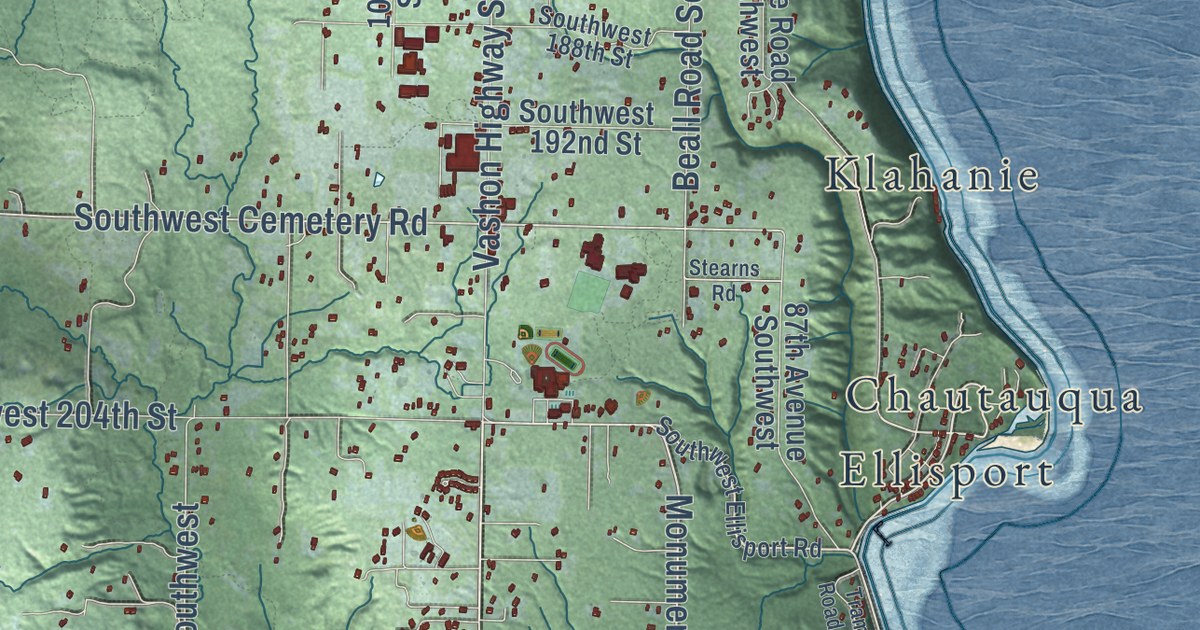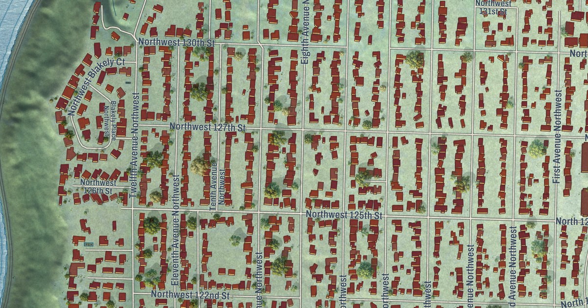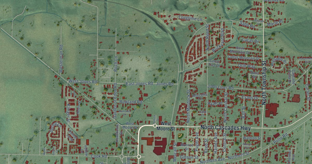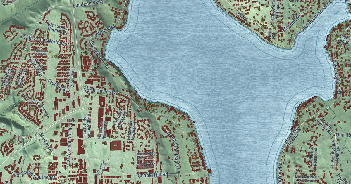
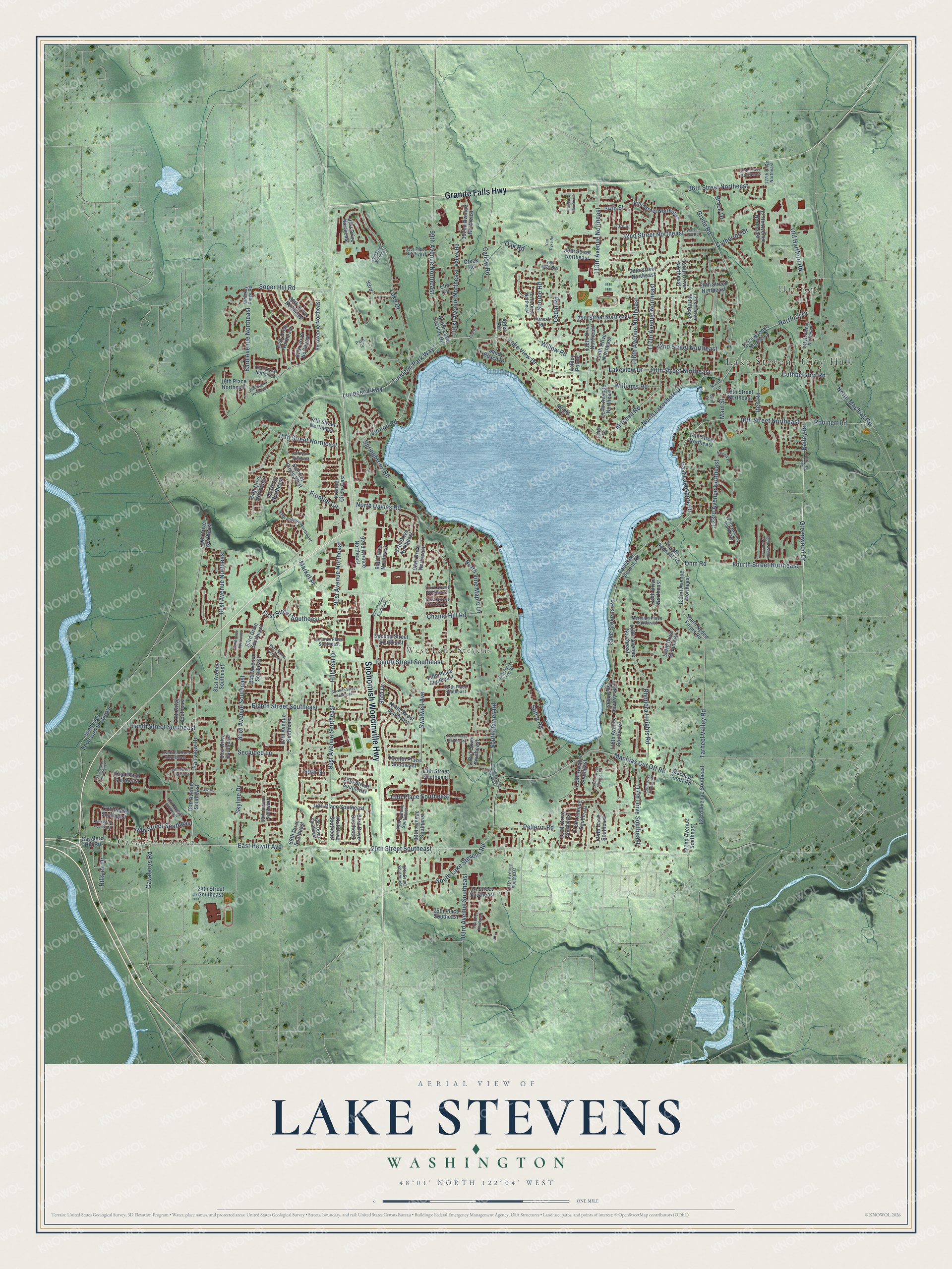
This beautifully detailed map of Lake Stevens, Washington was created in 2026 using aerial imagery combined with modern topographical, census, street and landmark data. It’s a one-of-a-kind view of Lake Stevens that combines accurate data with a vintage aesthetic. The map shows every building in its true location, many of the roads carry their names, and the shaded topographic relief shows the shape of the land.
Explore an aerial view of Lake Stevens, Washington
On the map you’ll find Lake Stevens City Hall, Cavalero Corner, Hartford, and West Lake Stevens, along with Granite Falls Highway, Snohomish Woodinville Highway, Vernon Road, 20th Street Southeast, East Hewitt Avenue, Lundeen Park Way, Grade Road, Fourth Street Northeast, and more. If you look closely you can even find your house accurately drawn in its correct location. Zoom in on the preview to look for yours.
Did you know this piece of Lake Stevens, Washington history?
From HistoryLink.org: "As the only industry in the area, the large Rucker Brothers sawmill was responsible for the robust growth of Lake Stevens in the 1920s and it might be considered a company town in every sense save its name."
Take a closer look at the Lake Stevens map
Street and place names on the Lake Stevens, Washington map
These names are printed on the map of Lake Stevens, Washington.
Places: Lake Stevens City Hall, Cavalero Corner, Hartford and West Lake Stevens.
Streets and roads: Granite Falls Highway, Snohomish Woodinville Highway, Vernon Road, 20th Street Southeast, East Hewitt Avenue, Lundeen Park Way, Grade Road, Fourth Street Northeast, East Lakeshore Drive, North Lakeshore Drive, Callow Road, Ohm Road.
More street names, A to Z
13th Place Northeast, 13th Street Southeast, 14th Place Southeast, 14th Street Northeast, 14th Street Southeast, 15th Place Southeast, 15th Street Northeast, 15th Street Southeast, 16th Place Southeast, 16th Street Northeast, 17th Place Southeast, 17th Street Northeast, 18th Place Southeast, 18th Street Northeast, 18th Street Southeast, 19th Place Northeast, 19th Street Northeast, 20th Street Northeast, 21st Street Northeast, 22nd Street Northeast, 24 Street Southeast, 24th Street Southeast, 25th Place Southeast, 25th Street Northeast, 26th Street Northeast, 28th Street Northeast, 29th Northeast, 29th Street Northeast, 30th Street Northeast, 31st Place Northeast, 32nd Street Northeast, 33rd Street, 34th Street, 34th Street Northeast, 36th Street Northeast, 37th Place Northeast, 71st Avenue Southeast, 77th Avenue Southeast, 77th Drive Southeast, 79th Avenue Southeast, 79th Drive Northeast, 81st Avenue Northeast, 81st Avenue Southeast, 81st Drive Southeast, 82nd Drive Southeast, 83rd Avenue Northeast, 83rd Avenue Southeast, 83rd Drive Southeast, 84th Avenue Southeast, 84th Drive Northeast, 85 Drive Northeast, 85th Avenue Southeast, 85th Drive Northeast, 86th Drive Northeast, 87th Avenue Northeast, 87th Avenue Southeast, 87th Drive Northeast, 88th Drive Southeast, 89 Avenue Northeast, 89th Drive Southeast, 91st Avenue Northeast, 91st Avenue Southeast, 91st Drive Northeast, 91st Drive Southeast, 92nd Avenue Northeast, 93rd, 93rd Drive Southeast, 94th Drive Northeast, 95th Avenue Southeast, 95th Drive, 97th Drive Northeast, 97th Drive Southeast, 98th Avenue Southeast, 98th Drive Northeast, 99th Avenue Northeast, 99th Avenue Southeast, 99th Drive, 101st Avenue Northeast, 102nd Avenue Northeast, 103rd Avenue Southeast, 103rd Drive Southeast, 104 Drive Southeast, 105th Avenue Southeast, 107th Avenue Southeast, 107th Drive Northeast, 111th Drive Northeast, 111th Drive Southeast, 112th Avenue Southeast, 112th Drive Northeast, 113th Avenue Northeast, 113th Avenue Southeast, 114th Avenue Northeast, 114th Drive, 114th Drive Northeast, 114th Drive Southeast, 114th Street Southeast, 115th Avenue Southeast, 116th Avenue Northeast, 116th Avenue Southeast, 117th Avenue Northeast, 117th Drive Southeast, 118th Avenue Southeast, 118th Drive Northeast, 118th Drive Southeast, 119th Drive Southeast, 120th Drive Northeast, 121st Drive Northeast, 122nd Avenue Northeast, 122nd Avenue Southeast, 123rd Avenue Northeast, 123rd Avenue Southeast, 124th Avenue Northeast, 125th Avenue Northeast, 127th Avenue Northeast, 127th Drive Northeast, 128th Avenue Northeast, 131st Avenue Northeast, Alder Road, Ashley Pointe, Bailey Road, Bryce Drive, Catherine Drive, Cavalero Hill Road, Cavaleros Road, Cedar Road, Chapel Hill Road, Creek Road, Cuthberston Road, East Davies Loop Road, East Lake Stevens Road, Eighth Street Southeast, Elm Road, Fairview Drive, Fifth Place Southeast, First Street Northeast, First Street Southeast, Forest Road, Fourth Street Southeast, Frontier Circle, Frontier Circle East, Frontier Circle West, Grace Lane, Greenwood Drive, Hartford Drive, Heron Place, Hillcrest Drive, Hillside Drive, Iten Road, Lake Drive, Lake Stevens Road, Lake View Drive, Lakeview Drive, Lundeen Parkway, Machias Cut Off Road, Machias Cutoff Road, Main Street, Maple Lane, Market Place, Meridian Place Southeast, Mitchell Road, Ninth Street Southeast, North Davies Road, North Drive, North Lane, North Machias Road, North Vine Maple Lane, Nyden Farms Road, Oak Road, Old Hartford Road, Park Drive, Pellerin Road, Prdrwy, Purple Pennant Road, Rhodora Heights Road, Robinett Road, Sandy Beach Drive, Secluded Lane, Second Place Southeast, Second Street Southeast, Seventh Street Southeast, Sixth Place Southeast, Skyline Drive, Soper Hill Road, South Davies Road, South Lake Cassidy Road, South Lake Stevens Road, South Nyden Farms Road, Springbrook Road, Spruce Road, Stitch Road, Sunnyside Boulevard Southeast, Swalwell Avenue, Tarheel Valley Road, Tenth Place Southeast, Tenth Street Southeast, Third Street Northeast, Third Street Southeast, Twelfth Place Southeast, Twelfth Street Southeast, Valley Road, Van Dyke Road, Walker Hill Road, Whiskey Ridge Road, Williams Road, Willow Road.
See the Lake Stevens, Washington map on a wall
The Lake Stevens map as an 18 x 24 inch print in a black frame.

This beautifully detailed map of Lake Stevens makes an attractive addition to your office, library, or den, and it can even be used to teach children the geography and history of the area. It also makes a great gift for anyone with Lake Stevens roots. When you’re done exploring, click here to get your copy of the Lake Stevens map.