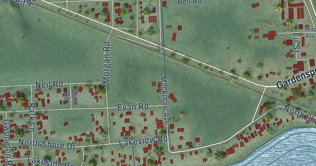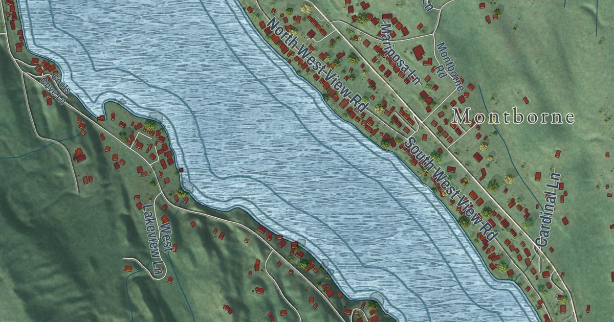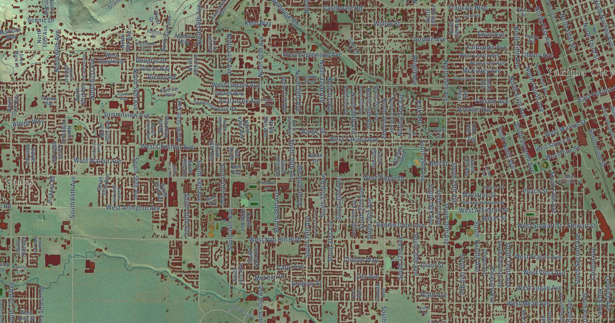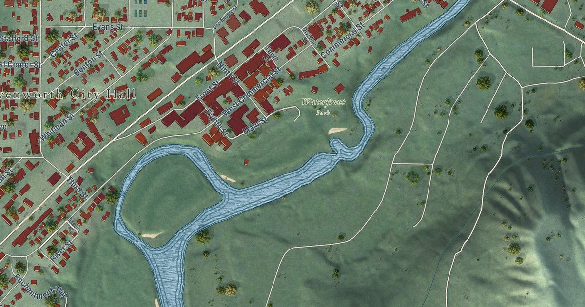
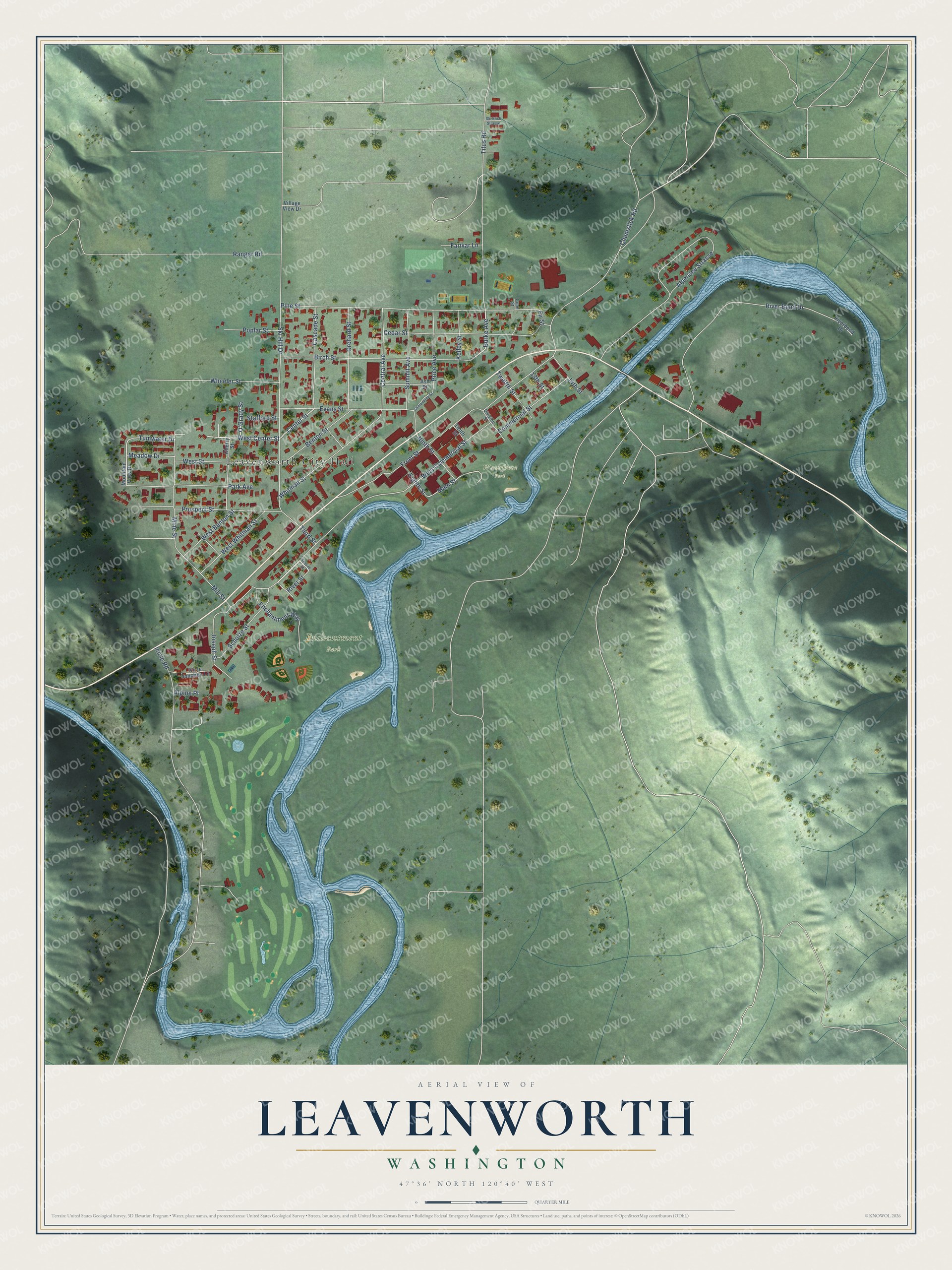
This beautifully detailed map of Leavenworth, Washington was created in 2026 using aerial imagery combined with modern topographical, census, street and landmark data. It’s a one-of-a-kind view of Leavenworth that combines accurate data with a vintage aesthetic. The map shows every building in its true location, many of the roads carry their names, and the shaded topographic relief shows the shape of the land.
Explore an aerial view of Leavenworth, Washington
On the map you’ll find Leavenworth City Hall, Enchantment Park, Waterfront Park, and Alpensee Strasse, along with Commercial Street, Center Street, Burke Avenue, Main Street, West Commercial Street, Ski Hill Drive, Front Street, Pine Street, and more. If you look closely you can even find your house accurately drawn in its correct location. Zoom in on the preview to look for yours.
Did you know this piece of Leavenworth, Washington history?
Leavenworth’s economy suffered after the railroad moved its regional office to Wenatchee in 1925. In 1962 a local committee called Project LIFE set out to revive the logging town. Two Seattle businessmen proposed a Bavarian alpine theme. The first rebuilt building, the Edelweiss Hotel, opened on July 1, 1965.
Take a closer look at the Leavenworth map
Street and place names on the Leavenworth, Washington map
These names are printed on the map of Leavenworth, Washington.
Places: Leavenworth City Hall, Enchantment Park and Waterfront Park.
Streets and roads: Commercial Street, Center Street, Burke Avenue, Main Street, West Commercial Street, Ski Hill Drive, Front Street, Alpensee Strasse, Pine Street, Chumstick Road, Titus Road, Birch Street.
More street names, A to Z
13th Street, 14th Street, Alpine Place, Ash Street, Benton Street, Cascade Street, Cedar Street, Central Avenue, Cherry Street, Cone Street, Division Street, Eighth Street, Enchantment Way, Evans Street, Farivar Lane, Fir Street, Icicle Junction Lane, Icicle Road, Joseph Street, Kelley Street, Meadow Drive, Mill Street, Mine Street, Mountain View Drive, Ninth Street, O'Grady Street, Orchard Street, Park Avenue, Poplar Street, Price Avenue, Prospect Street, Ranger Road, River Bend Drive, Riverbend Drive, River Street, Scholze Street, Second Street, Sherbourne Street, Ski Blick Strasse, Stafford Street, Summit Avenue, Tenth Street, Third Street, Tumwater Drive, Twelfth Street, Village View Drive, West Benton Street, West Center Street, West Street, West Whitman Street, Wheeler Street, Whitman Street.
See the Leavenworth, Washington map on a wall
The Leavenworth map as an 18 x 24 inch print in a black frame.

This beautifully detailed map of Leavenworth makes an attractive addition to your office, library, or den, and it can even be used to teach children the geography and history of the area. It also makes a great gift for anyone who grew up in Leavenworth or moved away. When you’re done exploring, click here to get your copy of the Leavenworth map.