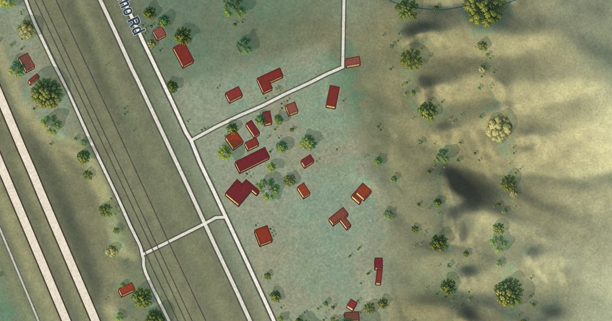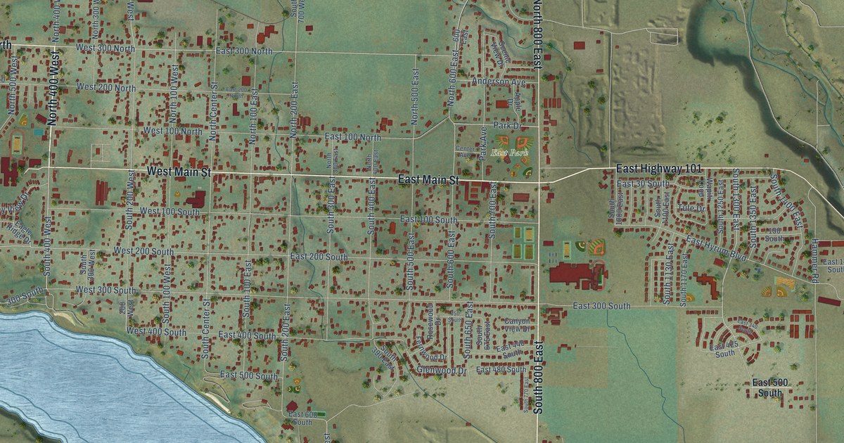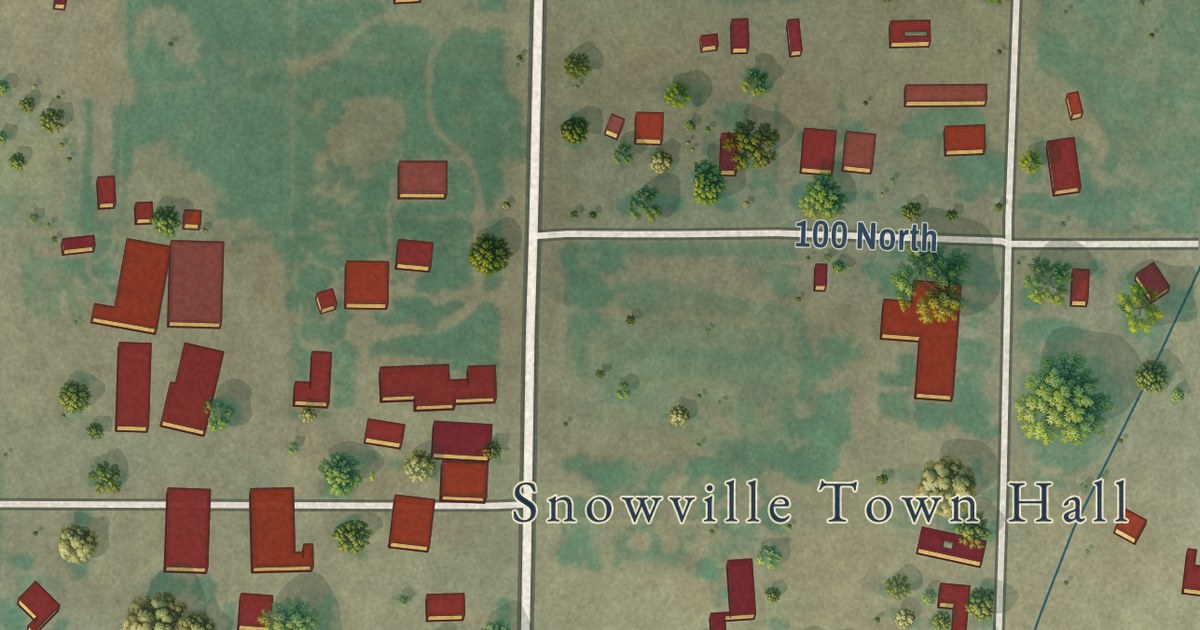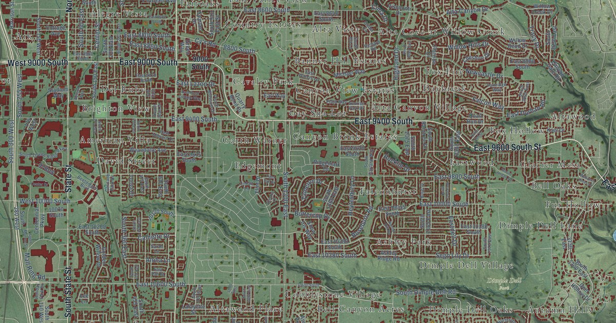
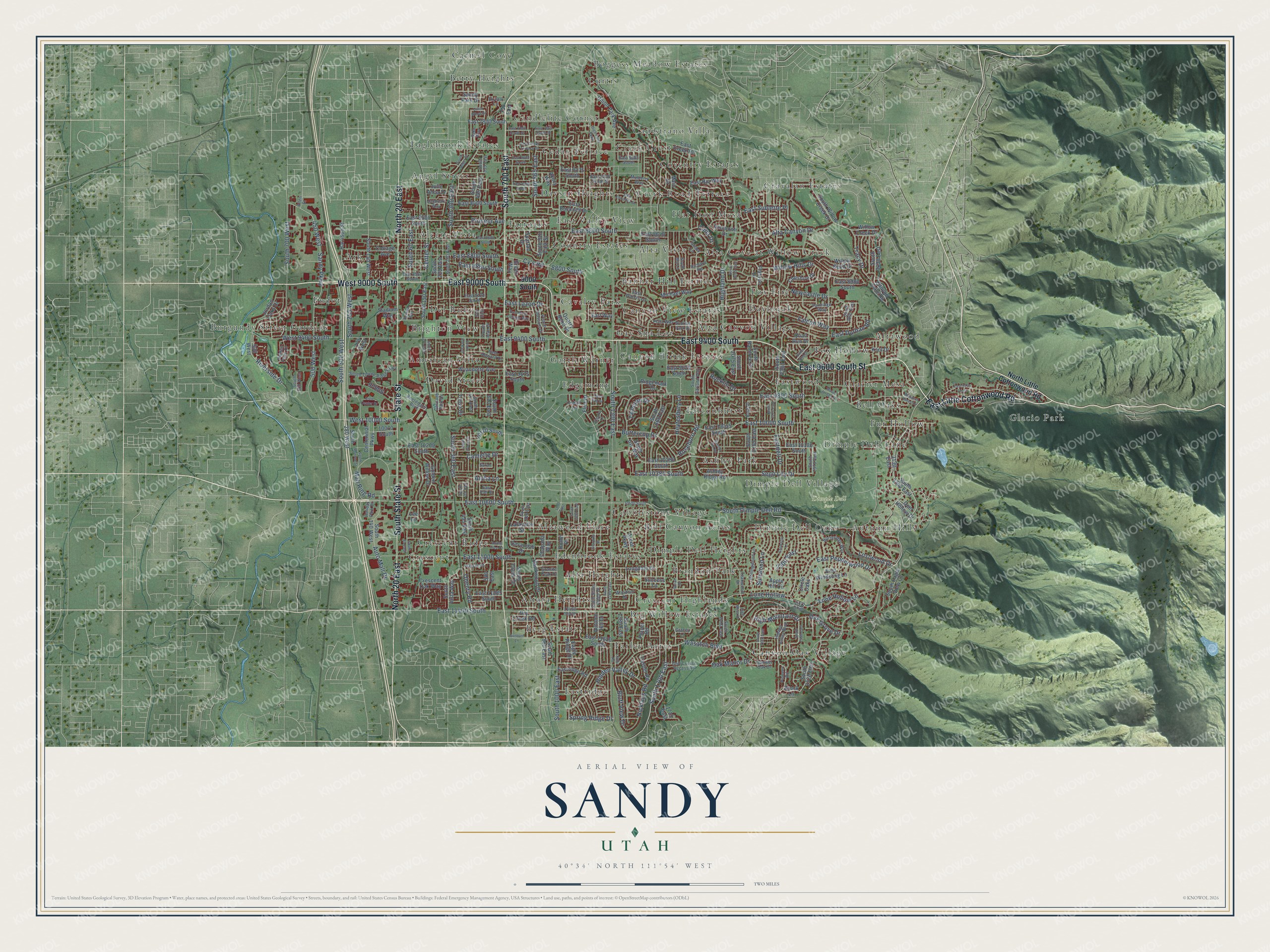
This beautifully detailed map of Sandy, Utah was created in 2026 using aerial imagery combined with modern topographical, census, street and landmark data. It’s a one-of-a-kind view of Sandy that combines accurate data with a vintage aesthetic. The map shows every building in its true location, many of the roads carry their names, and the shaded topographic relief shows the shape of the land.
Explore an aerial view of Sandy, Utah
On the map you’ll find Dimple Dell Park, Alegre Vista, Alta Canyon Village, Alta Cove at Willow Creek, Alta Heights, Alta Vista, Altara Heights, Altawood, Altawood Place, American Villa, and Ark, along with Angel Street, and more. If you look closely you can even find your house accurately drawn in its correct location. Zoom in on the preview to look for yours.
Did you know this piece of Sandy, Utah history?
From the Utah Division of State History: "From Sandy, workers built the Bingham Canyon and Camp Floyd Railroad in 1873 to tap the rich mines in the Oquirrh Mountains."
Take a closer look at the Sandy map
Street and place names on the Sandy, Utah map
These names are printed on the map of Sandy, Utah.
Places: Dimple Dell Park, Alegre Vista, Alta Canyon Village, Alta Cove at Willow Creek, Alta Heights, Alta Vista, Altara Heights, Altawood, Altawood Place, American Villa, Angel Street, Ark, Ashley Park, Autumn Hills, Banner Hill Estates, Bell Canyon Acres, Bell Oaks, Berg Estates, Betty Heights, Big Willow Estates, Boggess Meadow Estates, Brandon Park, Brighton View, Burgundy Street Gardens, Candlelite Corner, Canyon Brook Estates, Canyon Oak Village, Canyon View Estates, Capistrano Villa, Carmel Cove, Cavalry Park, Cedar Terrace, Cobblestone Village, Country Estates, Coventry Estates, Cravalan Estates, Creek Crest, Creek Road Terrace, Crescent, Crescent Highlands, Crescent Ridge, Curtis, David Street, Daybreak, Daysen Heights, Del Ruby, Dimple Dell Heights, Dimple Dell Lane, Dimple Dell Oaks, Dimple Dell Village, Eaglebrook Estates, East Valley View, Eastridge, Eastwood, Edenbrook Estates, Edgemont, Endot, Fairoaks, Falconhurst, Farley Acres, Flat Iron Mesa, Fox Fire, Fox Hollow, Fur Hollow, Garth Warner, Gay Sha Lor, Glacier Mesa and Glacio Park.
Streets and roads: East Little Cottonwood Road, East 9600 South Street, West 9000 South, East 9000 South, East 9400 South, South 700 East, North 20 East, South State Street, State Street, Wasatch Boulevard, South 1700 East, Sego Lily Drive.
More street names, A to Z
175 West, 450 West, 500 West, 510 East, 580 East, 700 East, 900 West, 1000 East, 1715 East, 2300 East, 3130 East, 8800 South, 9000 South, 10070 South, 10120 South, 10600 South, 11270 South, 11400 South, Akers Way, Allen Street, Aloha Lane, Alta Canyon Drive, Apple Hill Circle, Apple Tree Drive, Ascot Parkway, Ashley Ridge Road, Auto Mall Drive, Autumn Hill Drive, Bannor Hill Road, Beetdigger Boulevard, Benson Way, Bluff View Drive, Bohm Place, Borg Drive, Brook Lane, Buttercup Drive, Calnette Drive, Canyon Gate Road, Cascade Park Drive, Casper Road, Centennial Parkway, Center Street, Chapada Way, Cheshire Drive, Cima Drive, Circle Oaks, Civic Center Drive, Cobalt Lane, Cottage Avenue, Crescent Oak Way, Cy's Road, Deer Hollow Drive, Dry Creek Road, Eagle Ridge Drive, Earl Way, East 7800 South, East 7850 South Street, East 7865 South Street, East 8080 South, East 8085 South, East 8175 South, East 8220 South Street, East 8280 South, East 8400 South, East 8500 South, East 8600 South, East 8640 South, East 8680 South, East 8800 South, East 8860 South, East 8960 South, East 8980 South, East 9120 South, East 9620 South, East 9675 South, East 9745 South, East 9800 South, East 10000 South, East 10055 South, East 10180 South, East 10200 South, East 10280 South, East 10380 South, East 10600 South, East 11000 South, East 11285 South, East 11400 South, East 11620 South, East Buchnell Drive, East Cedar Terrace Drive, East Creek Road, Eastdell Drive, East Durban Road, East Estrellita Drive, East Howard Drive, East Lazon Drive, East Pali Street, East Pepperwood Drive, Eastridge Road, East Rio Way, East Rose Cottage Way, East Sublette Place, East Waters Lane, East Windsong Lane, Electra Lane, Falcon Way, Flatiron Drive, Flint Drive, Gambel Oak Drive, Glider Lane, Golden Willow Drive, Golf Course Access Road, Gracey Lane, Granite Peak Drive, Green Way, Handcart Way, Harrison Street, Hawkwood Drive, Heytesbury Lane, Hidden Point Drive, Hidden Valley Boulevard, Hidden Valley Drive, Highland Drive, High Mesa Drive, High Mountain Drive, High Point Parkway, Holiday Park Drive, Hunts End Drive, Jordan Oaks Drive, Julie Anna Drive, Ksel Drive, Lafayette Street, Lee Lane, Littler Road, Lone Hollow, Lone Hollow Lane, Longdale Drive, Lostwood Drive, Maio Drive, Mall Ring Road, Michael Way, Mount Jordan Road, Mulberry Way, Newcastle Drive, Nicklaus Road, North Little Cottonwood Road, Northridge Way, Oak Grove Drive, Oak Manor Drive, Ohenry Road, Partridge Way, Peach Blossom Drive, Pioneer Avenue, Pioneer Road, Plata Way, Player Road, Quail Run Drive, Quarry Bend Drive, Richard Road, Ridgemark Drive, Riverside Drive, Rocklin Drive, Rollingwood Lane, Roseboro Road, Sako Way, Sandy Creek Drive, Sandy Park Drive, Sandy Parkway, Sarah Lane, Savannah Drive, Skylark Lane, Snow Iris Way, Snowstar Lane, South 60 East, South 85 East, South 140 West, South 150 East, South 150 West, South 170 East, South 220 East, South 255 West, South 280 East, South 280 West, South 300 East, South 300 West, South 360 East, South 410 East, South 420 East, South 440 East, South 455 East, South 475 East, South 495 East, South 535 East, South 600 West, South 610 East, South 700 West, South 810 East, South 865 East, South 880 East, South 910 East Street, South 1000 East, South 1090 East, South 1280 East, South 1300 East, South 1380 East, South 1660 East, South 2010 East, South 2055 East, South 2075 East, South 2165 East, South 2220 East, South 2270 East, South 2300 East, South 2460 East, South 2520 East, South 2570 East, South 2805 East, South 3030 East, South 3300 East, South Angel Street, South Dimple Dell Road, South Eagle View Cv, South Garland Way, South Ida Lane, South Jean Drive, South Monroe Street, South Raintree Drive, South Silver Ridge Drive, South Towne Ridge Parkway, South Vista Way, South Willow Creek Drive, Spartan Drive, Spring Ridge Drive, Stadium Way, Starpine Drive, Success Lane, Sunburn Lane, Sunrise Park Drive, Sunwood Lane, Susan Drive, Tameron Drive, Teakwood Drive, Tiger Eye Drive, Tonya Drive, Tracy Drive, Union Park Avenue, Union Wood Drive, Viscounti Drive, Wasatch Pines Lane, Wassail Road, West 9400 South, West 10000 South, Willow Bend Drive, Willow Creek Drive, Willow Hills Drive, Woodhill Drive, Wyandotte Avenue.
See the Sandy, Utah map on a wall
The Sandy map as an 18 x 24 inch print in a black frame.

This beautifully detailed map of Sandy makes an attractive addition to your office, library, or den, and it can even be used to teach children the geography and history of the area. It also makes a great gift for anyone with Sandy roots. When you’re done exploring, click here to get your copy of the Sandy map.