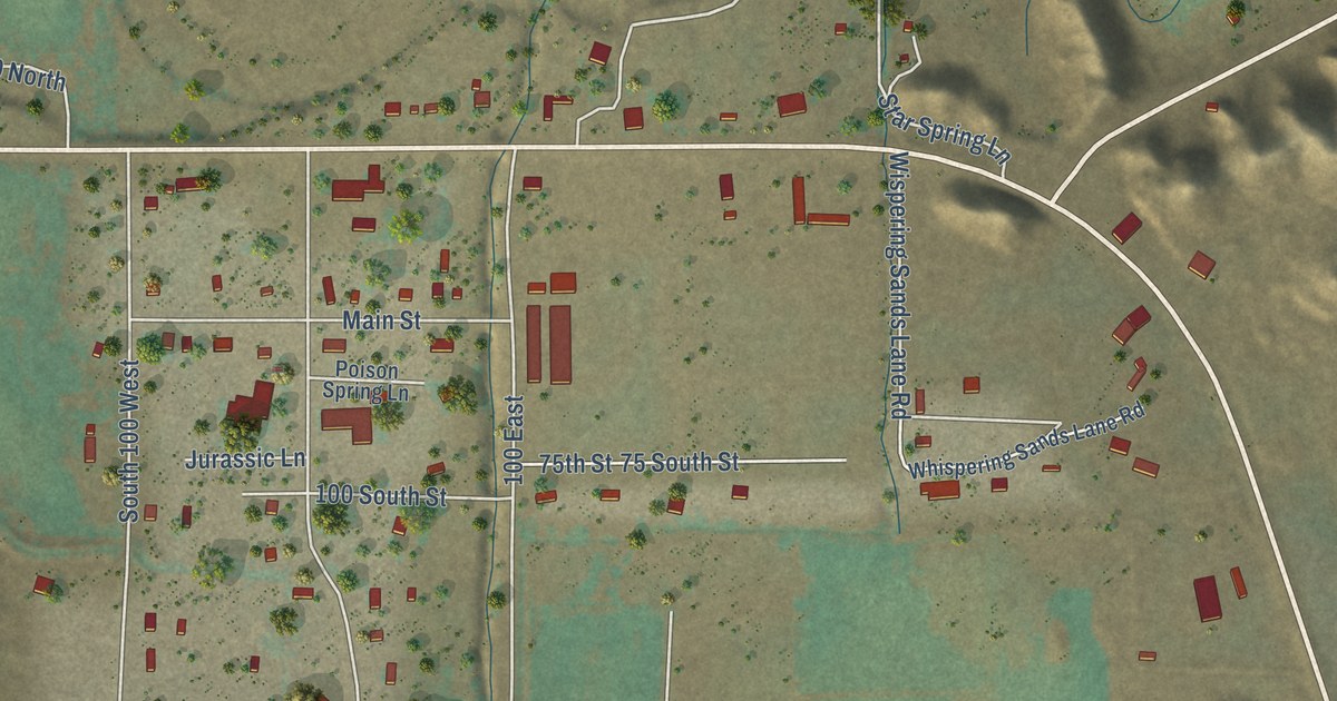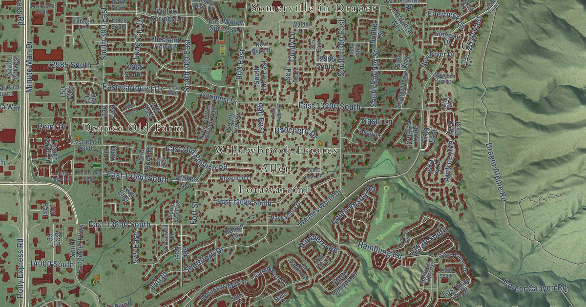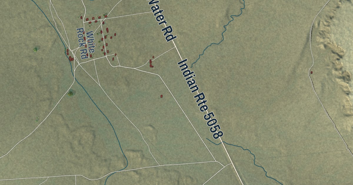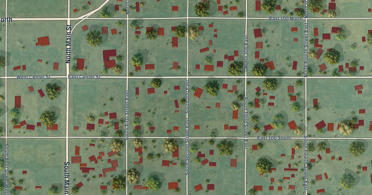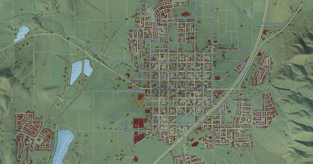
This beautifully detailed map of Santaquin, Utah was created in 2026 using aerial imagery combined with modern topographical, census, street and landmark data. It’s a one-of-a-kind view of Santaquin that combines accurate data with a vintage aesthetic. The map shows every building in its true location, many of the roads carry their names, and the shaded topographic relief shows the shape of the land.
Explore an aerial view of Santaquin, Utah
On the map you’ll find Santaquin City Hall, South 4800 West, and 100 West, along with East Main Street, West Main Street, South State Street, Highland Drive, North 500 West Street, North 400 East Street, South Highland Drive, South 5950 West Street, North Center Street, and more. If you look closely you can even find your house accurately drawn in its correct location. Zoom in on the preview to look for yours.
Did you know this piece of Santaquin, Utah history?
From the Utah History Encyclopedia: "Horse and buggy were the only means of transportation available until 1875, at which time the Utah Southern Railroad completed a line to Santaquin."
Take a closer look at the Santaquin map
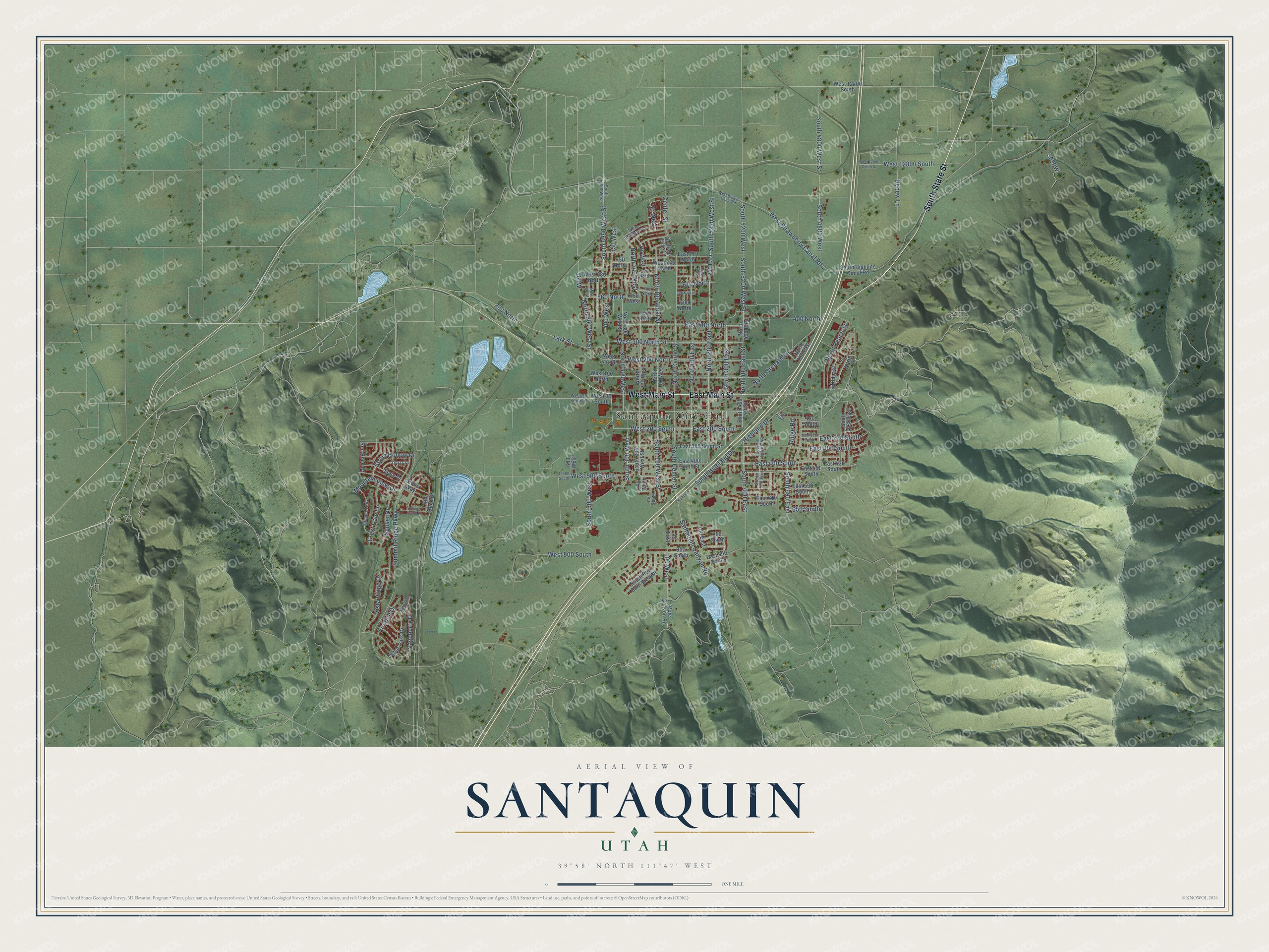
Street and place names on the Santaquin, Utah map
These names are printed on the map of Santaquin, Utah.
Places: Santaquin City Hall.
Streets and roads: East Main Street, West Main Street, South State Street, Highland Drive, North 500 West Street, North 400 East Street, South Highland Drive, South 4800 West, South 5950 West Street, 100 West, North Center Street, Lark Street.
More street names, A to Z
15 East, 70 North, 90 West, 100 East, 130 South, 140 South, 150 East, 150 South, 190 West, 200 East, 200 North, 210 West, 350 West, 400 North, 400 West, 450 North, 500 North, 500 West, 550 West, 560 North, 580 North, 600 North, 600 West, 610 North, 650 South, 690 North, 750 North, 850 South, 900 South, 910 East, 14400 South, Cedar Pass Drive, Center Street, Crest Dale Lane, Depew Lane, East 200 South, East 250 South, East 270 South, East 300 South, East 300 South Street, East 400 North, East 400 South, East 400 South Street, East 430 South, East 450 South, East 550 South, East 610 South, East 770 North, East 950 South, Foothill Drive, Highland, Hillshire Drive, Little Rock Drive, Mountain View Drive, North 100 East, North 100 West, North 100 West Street, North 200 East, North 200 West, North 240 West, North 300 East, North 300 West, North 300 West Street, North 400 East, North 700 East, North Orchard Lane, North Peach Street, Orchard Cove Drive, Pole Canyon Road, Red Rock Drive, Ridge Road, Sageberry Drive, Santaquin Canyon Road, Slate Drive, South 100 West Street, South 200 West Street, South 300 West, South 400 East, South 400 East Street, South 500 East, South 500 East Street, South 500 West, South 690 East, South 1030 East, South 4800 West Street, South 5200 West, South 5200 West Street, South 5350 West Street, South 5950 West, South Center Street, South Highline Canal Road, South Red Barn View Drive, Stone Brook Lane, Stone Hollow Drive, Stone Way, Summit Ridge Parkway, Summit Trail, Sunset Drive, Topaz Drive, Vista Ridge Drive, West 30 South, West 30 South Street, West 100 North, West 200 North, West 200 South, West 300 North Street, West 500 South, West 680 North, West 730 North, West 900 South, West 12400 South, West 12800 South, West 12800 South Street, West Braeburn Lane, West Highline Canal Road, West Lark Street, West Strawberry Canal Road.
See the Santaquin, Utah map on a wall
The Santaquin map as an 18 x 24 inch print in a black frame.

This beautifully detailed map of Santaquin makes an attractive addition to your office, library, or den, and it can even be used to teach children the geography and history of the area. It also makes a great gift for someone who left Santaquin and still calls it home. When you’re done exploring, click here to get your copy of the Santaquin map.