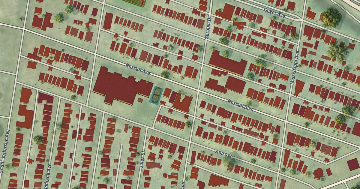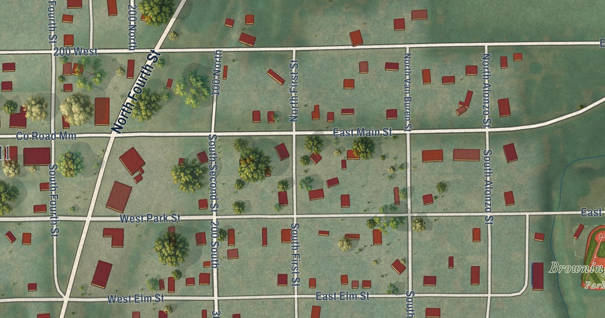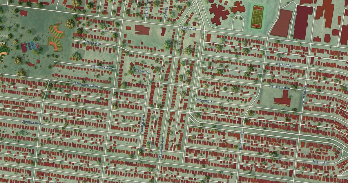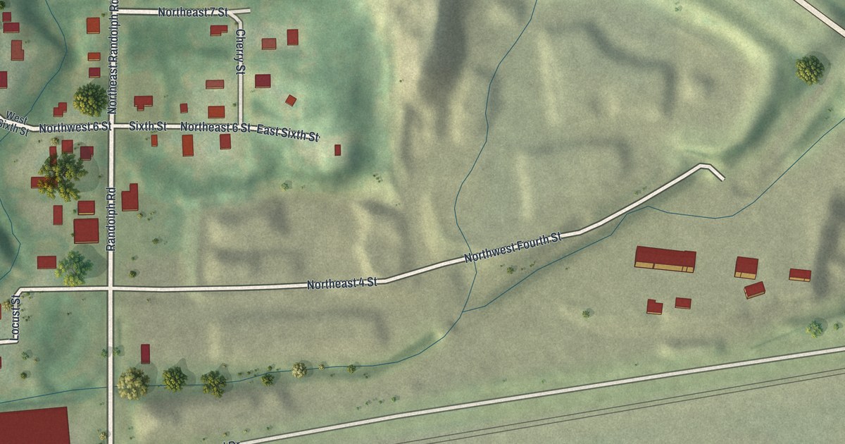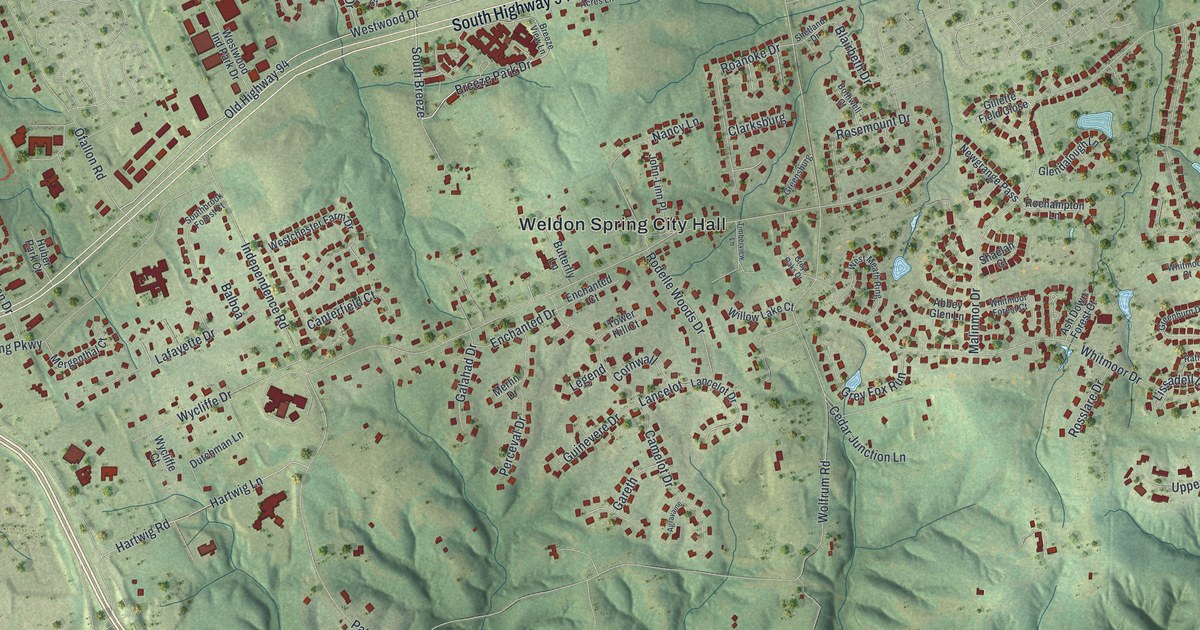
This beautifully detailed map of Weldon Spring, Missouri was created in 2026 using aerial imagery combined with modern topographical, census, street and landmark data. It’s a one-of-a-kind view of Weldon Spring that combines accurate data with a vintage aesthetic. The map shows every building in its true location, many of the roads carry their names, and the shaded topographic relief shows the shape of the land.
Explore an aerial view of Weldon Spring, Missouri
On the map you’ll find Weldon Spring City Hall, Veterans Tribute Park, Weldon, and South Breeze, along with South Highway 94, Breeze Park Drive, Westwood Drive, Cedar Glen Drive, Old Highway 94, Wolfrum Road, Old Wolfrum Road, Independence Road, and more. If you look closely you can even find your house accurately drawn in its correct location. Zoom in on the preview to look for yours.
Did you know this piece of Weldon Spring, Missouri history?
From the State Historical Society of Missouri: "The site was settled by German immigrants about 1849, and the town was laid out by J.M. McMillen in 1864."
Take a closer look at the Weldon Spring map
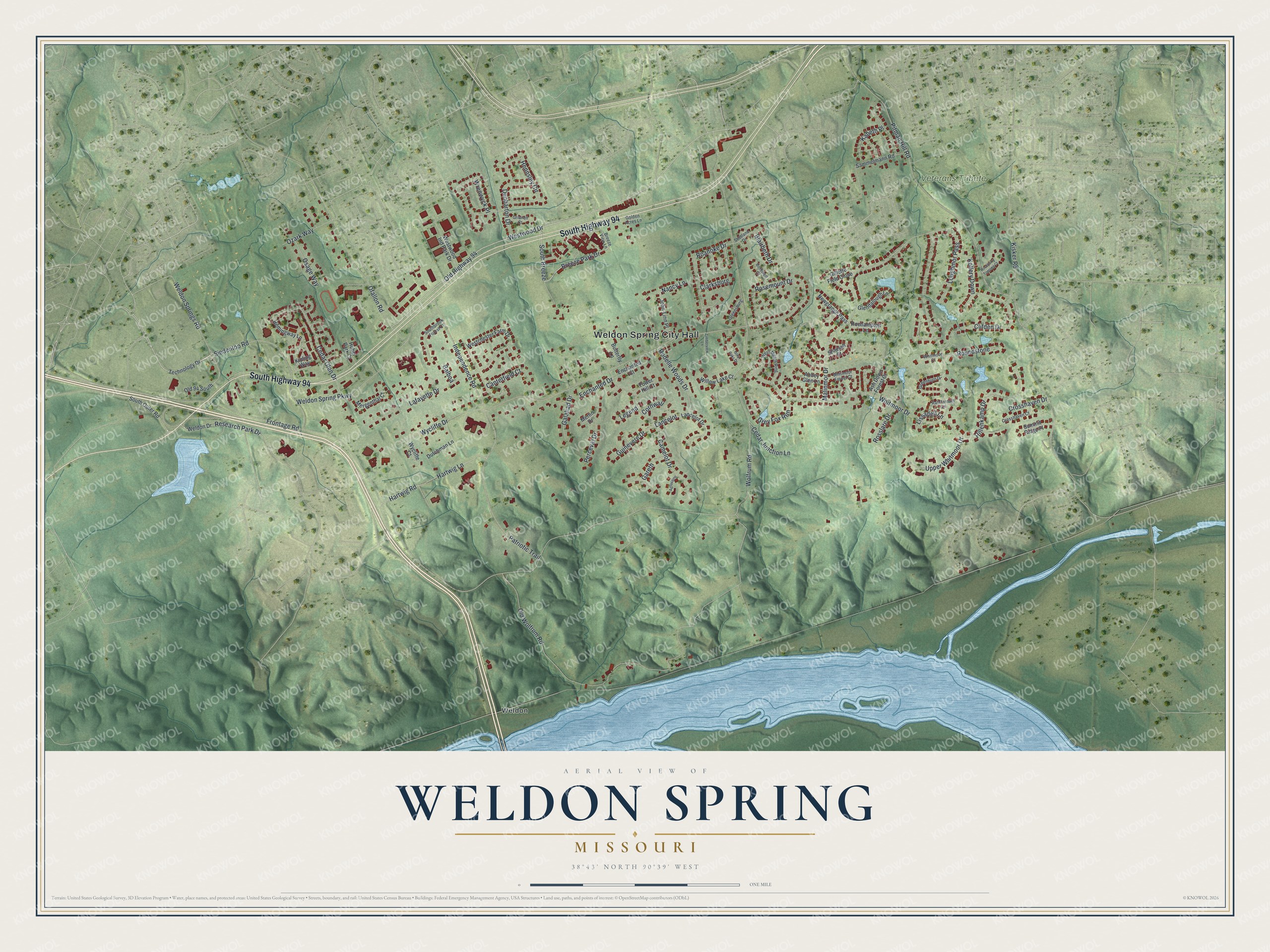
Street and place names on the Weldon Spring, Missouri map
These names are printed on the map of Weldon Spring, Missouri.
Places: Weldon Spring City Hall, Veterans Tribute Park and Weldon.
Streets and roads: South Highway 94, Breeze Park Drive, Westwood Drive, Cedar Glen Drive, Old Highway 94, South Breeze, Wolfrum Road, Old Wolfrum Road, Independence Road, Whitmoor Drive, Pitman Hill Road, Frontage Road.
More street names, A to Z
Abbey Glen Lane, Agravaine, Ash Down Forest Court, Balboa, Blairbeth Drive, Bothwell Court, Breeze View Lane, Butterfly Lane, Camelot Drive, Canterfield Court, Cedar Junction Lane, Clarksburg, Clifden Drive, Cornwall, Crosshaven Court, Crosshaven Drive, Dunbarton Drive, Dutchman Lane, Enchanted Court, Enchanted Drive, Galahad Drive, Gareth, Gillette Field Close, Glendalough Lane, Golden Acres Lane, Greenburn Drive, Greensburg, Grey Fox Run, Grey Oaks Drive, Grinnell Court, Guinevere Drive, Hartwig Lane, Hartwig Road, Hemingway Lane, Hennsley Circle, Hillenkamp Drive, Huber Park Court, John-Linn Place, Kabeth Place, Kellery Down, Kipling Way, Kisker Road, Lafayette Drive, Lancelot, Lancelot Drive, Legend, Lissadell Lane, Loughmor Pass, Malinmor Drive, Mergenthal Court, Merlin Drive, Nancy Lane, Newgrange Pass, Ofallon Road, Old 94 South, Osage Way, Ozark Way, Patriotic Trail, Perceval Drive, Rathfarnum Lane, Research Park Drive, Roanoke Drive, Rodelle Woods Drive, Roehampton Lane, Roseberry Topping Court, Rosemount Drive, Rosslare Drive, Roundstone, Sammelmann Road, Shaelah Court, Shetland Drive, Siedentop Road, Southbrook Forest Court, South Outer Road, Summit Ridge Place, Technology Drive, Timberview Lane, Tower Hill Court, Upper Whitmoor Drive, Weldon Drive, Weldon Spring Parkway, Weldon Springs Road, Westchester Farm Drive, West Meath Ring, Westwood Ind Park Drive, Whitmoor Court, Whitmoor Forest Court, Willow Lake Court, Wrenwyck Place, Wycliffe Court, Wycliffe Drive.
See the Weldon Spring, Missouri map on a wall
The Weldon Spring map as an 18 x 24 inch print in a black frame.

This beautifully detailed map of Weldon Spring makes an attractive addition to your office, library, or den, and it can even be used to teach children the geography and history of the area. It also makes a great gift for anyone who grew up in Weldon Spring or moved away. When you’re done exploring, click here to get your copy of the Weldon Spring map.