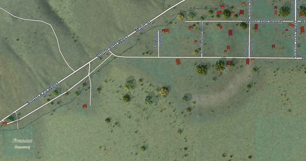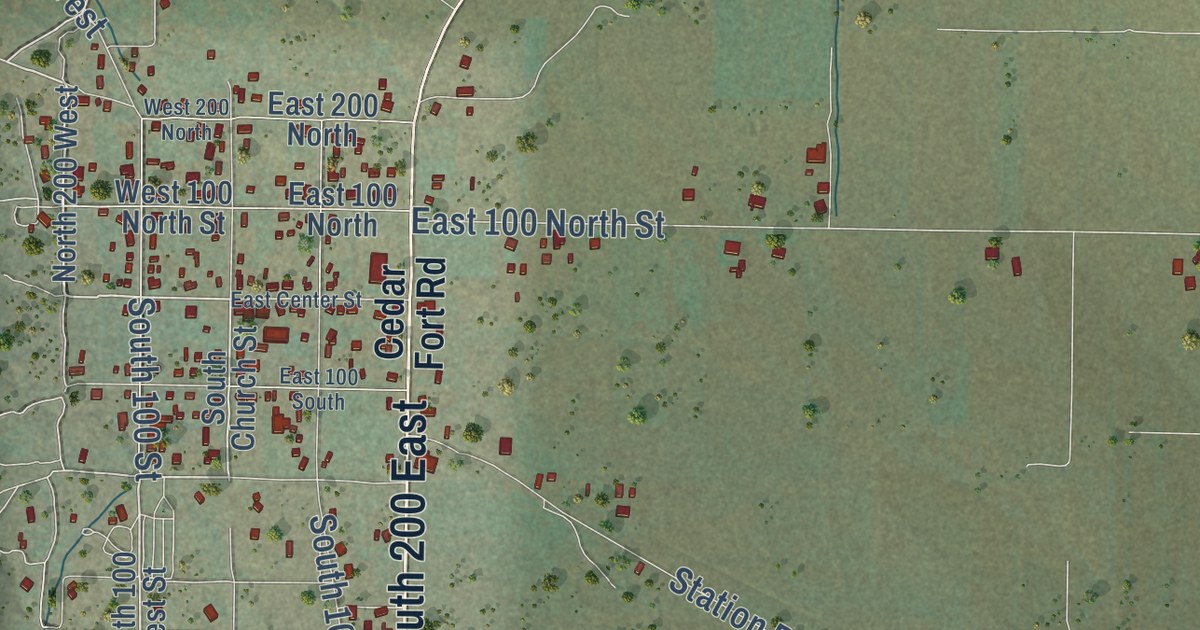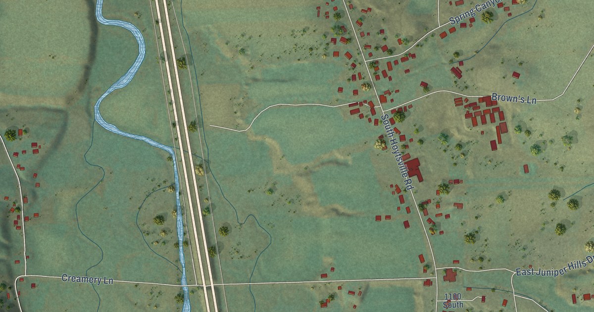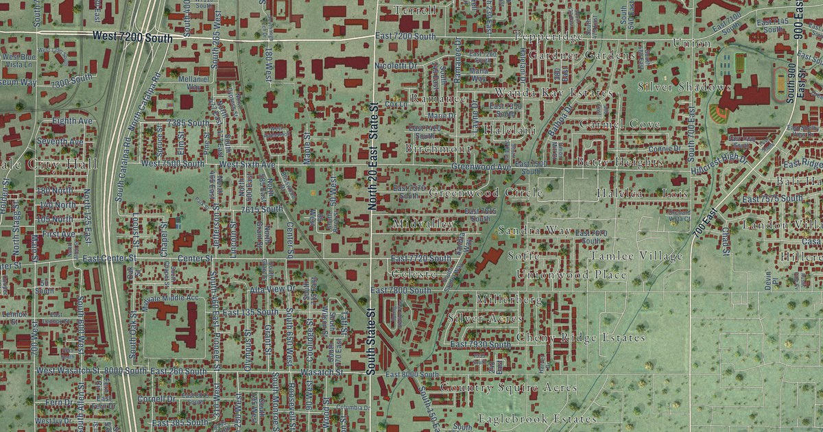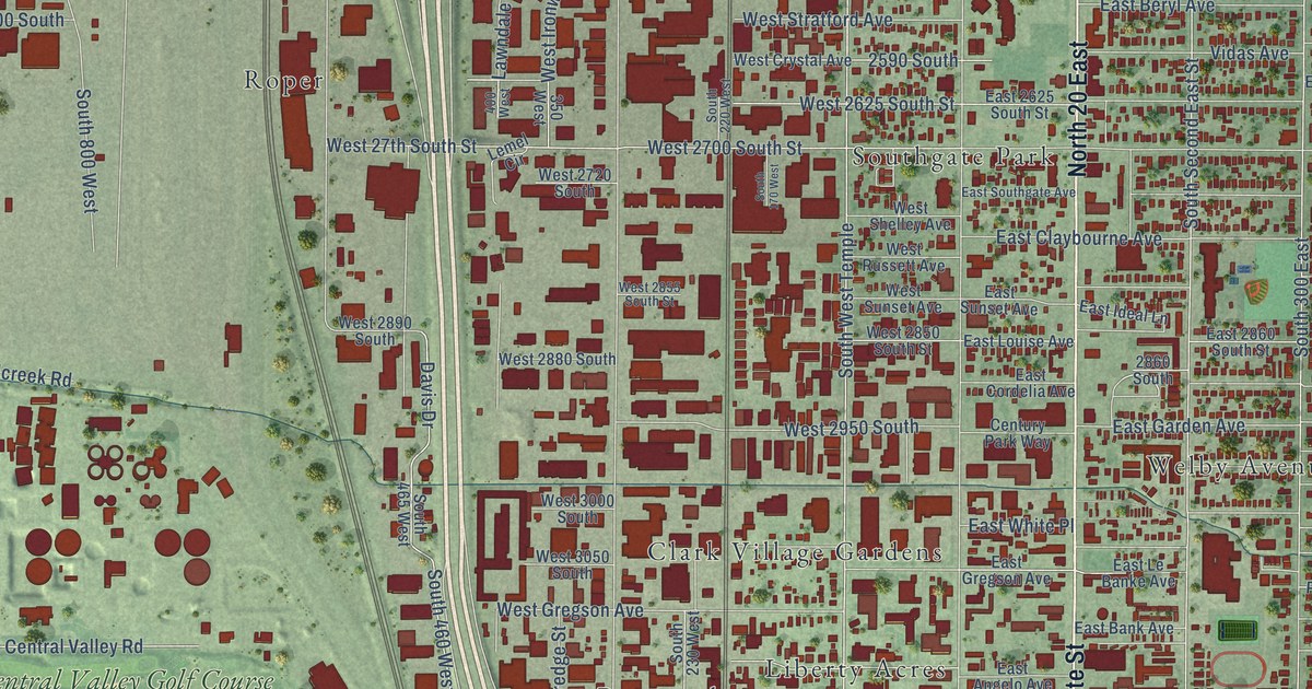
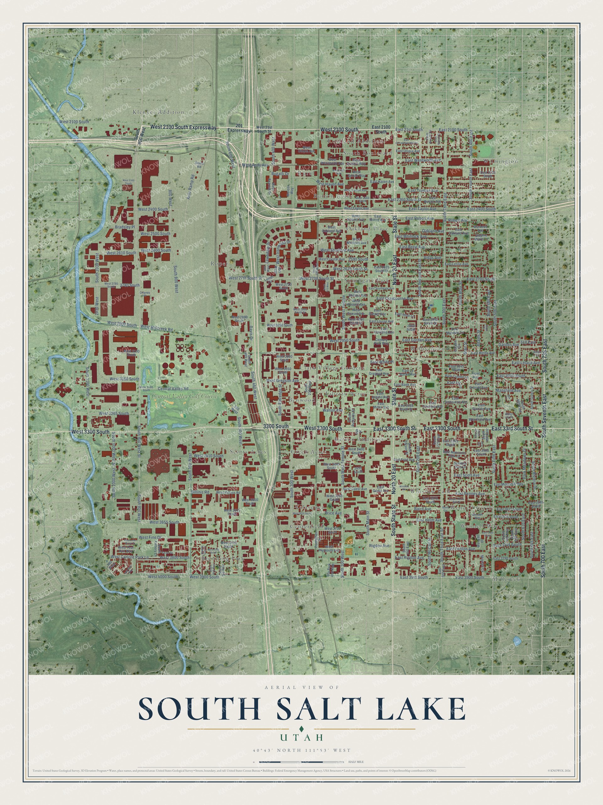
This beautifully detailed map of South Salt Lake, Utah was created in 2026 using aerial imagery combined with modern topographical, census, street and landmark data. It’s a one-of-a-kind view of South Salt Lake that combines accurate data with a vintage aesthetic. The map shows every building in its true location, many of the roads carry their names, and the shaded topographic relief shows the shape of the land.
Explore an aerial view of South Salt Lake, Utah
On the map you’ll find Benwood, Breithing Park, Burton Acres, Burton Addition, Centerfield, Clark Village Gardens, Green Acres, Klenkes Addition, Liberty Acres, Millcreek, Oakland Place, Roper, and more. If you look closely you can even find your house accurately drawn in its correct location. Zoom in on the preview to look for yours.
Did you know this piece of South Salt Lake, Utah history?
From the South Salt Lake City: "The City of South Salt Lake was originally settled in 1847 by Latter-Day Saints pioneers. Nearly a century would pass before this small tract of farmland along Mill Creek and the Jordan River would be incorporated as South Salt Lake."
Take a closer look at the South Salt Lake map
Street and place names on the South Salt Lake, Utah map
These names are printed on the map of South Salt Lake, Utah.
Places: Benwood, Breithing Park, Burton Acres, Burton Addition, Centerfield, Clark Village Gardens, Green Acres, Klenkes Addition, Liberty Acres, Millcreek, Oakland Place, Roper, Roseland Addition, Rural, Scotts Acres, South Boulevard, Southgate Park, Velasquez, Welby Avenue, Wendell Circle, Wendell Way, Wilmington, Winslow Park and Central Valley Golf Course.
Streets and roads: West 2100 South, West 2100 South Expressway, East 3300 South Street, East 3300 South, North 20 East, South State Street, State Street, West 3300 South, South 700 East, South 735 East, South Seventh East, East 33rd South Street.
More street names, A to Z
201 Expressway, 350 West, 400 West, 445 East, 500 West, 610 East, 800 West, 990 West, 1030 West, 2590 South, 2780 South, 2860 South, 3300 South, 3450 South, Adams Street, Auto Ramp Road, Avon Place, Baird Avenue, Baird Circle, Billinis Road, Blair Street, Bradsley Place, Bugatti Drive, Central Valley Road, Century Park Way, Davis Drive, Davis Road, East 21st South, East 39th South, East 300 East, East 2100 South, East 2250 South, East 2360 South Street, East 2400 South, East 2625 South Street, East 2700 South, East 2860 South Street, East 3045 South, East 3065 South, East 3185 South Street, East 3360 South, East 3400 South, East 3570 South, East 3585 South, East 3610 South, East 3635 South, East 3700 South, East 3745 South, East 3790 South, East 3900 South, East Angelo Avenue, East Bank Avenue, East Beryl Avenue, East Burton Avenue, East Claybourne Avenue, East Commonwealth Avenue, East Cordelia Avenue, East Crestone Avenue, East Fenton Avenue, East Ford Avenue, East Garden Avenue, East Granite Avenue, East Gregson Avenue, East Guest Avenue, East Haven Avenue, East Helm Avenue, East Ideal Lane, East Ivy Lane, East Lambourne Avenue, East Le Banke Avenue, East Leland Avenue, East Leslie Avenue, East Louise Avenue, East Maxwell Lane, East Millcreek Way, East Miller Avenue, East Morris Avenue, East Newsome Park Lane, East Oakland Avenue, East Penney Avenue, East Rigdon Avenue, East Robert Avenue, East Scott Avenue, East Southgate Avenue, East Stanley Avenue, East Sunset Avenue, East Taylor Avenue, East Truman Avenue, East Utopia Avenue, East Welby Avenue, East Wentworth Avenue, East White Place, East Whitlock Avenue, East Woodland Avenue, Front Avenue, Garden Avenue, Garden Circle, Kings Lane, Lawndale Drive, Lemel Circle, Mansfield Avenue, Mercer Way, Mitchell Cv, Oakland Avenue, Orlando Place, Park Court, Park Creeke Lane, Park Meadows Drive, Portlethen Drive, Price Avenue, Rigdon Avenue, Robert Avenue, Salt River Way, Seine Drive, Shadow Glen Lane, South 100 West, South 150 East, South 170 West, South 200 East, South 220 West, South 230 West, South 275 East, South 300 East, South 300 West, South 400 East, South 400 West, South 440 East, South 460 East, South 460 West, South 465 West, South 480 East, South 500 East, South 500 West, South 545 East, South 565 West, South 580 East, South 600 East, South 600 West, South 610 East, South 610 West, South 645 East, South 700 West, South 800 West, South 900 West, South 900 West Street, South 1000 West, South 1000 West Street, South 1030 West, South 1100 West, South Blair Street, South Edison Street, South Eldredge Street, South Fifth East, South Fishery Lane, South Fourth East, South Green Street, South Main Street, South McCall Street, South Nowell Circle, South Richards Street, South Riviera Drive, South Roberta Street, South Second East Street, South Terra Sol Drive, South Third East, South Third East Street, South West Temple, South West Temple Street, Stephie Marie Lane, Sue Street, Summer Pine Lane, Uta Park and Ride, Vidas Avenue, Walton Avenue, Warnock Avenue, Water Lily Drive, Wendell Drive, West 21st South Street, West 27th South Street, West 2260 South, West 2300 South, West 2360 South, West 2400 South, West 2500 South, West 2600 South, West 2610 South, West 2625 South Street, West 2700 South Street, West 2720 South, West 2780 South, West 2850 South Street, West 2855 South Street, West 2880 South, West 2890 South, West 2900 South, West 2950 South, West 3000 South, West 3050 South, West 3100 South, West 3160 South, West 3190 South, West 3265 South, West 3400 South, West 3410 South, West 3440 South, West 3560 South, West 3600 South, West 3615 South, West 3620 South, West 3655 South, West 3700 South, West 3740 South, West 3765 South, West 3800 South, West 3900 South, West 4000 South, West Andy Avenue, West Bearcat Drive, West Billinis Road, West Bowers Way, West Carlisle Park Lane, West Crystal Avenue, West Fine Drive, West Gregson Avenue, West Guest Avenue, West Haven Avenue, West Ironwood Drive, West Lotus Brook Drive, West Millcreek Road, West Oakland Avenue, West Plymouth Avenue, West Robert Avenue, West Russett Avenue, West Senior Way, West Shelley Avenue, West Stratford Avenue, West Sunset Avenue, West Taylor Avenue, West Teal Run Way, West Truman Avenue, West Utopia Avenue, West Wentworth Avenue, West Whitlock Avenue, Winslow Avenue.
See the South Salt Lake, Utah map on a wall
The South Salt Lake map as an 18 x 24 inch print in a black frame.

This beautifully detailed map of South Salt Lake makes an attractive addition to your office, library, or den, and it can even be used to teach children the geography and history of the area. It also makes a great gift for someone who left South Salt Lake and still calls it home. When you’re done exploring, click here to get your copy of the South Salt Lake map.