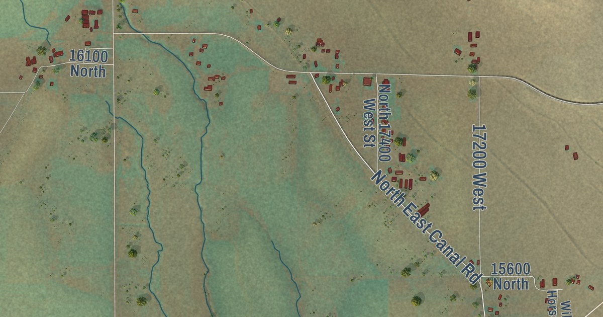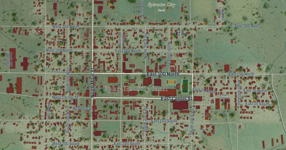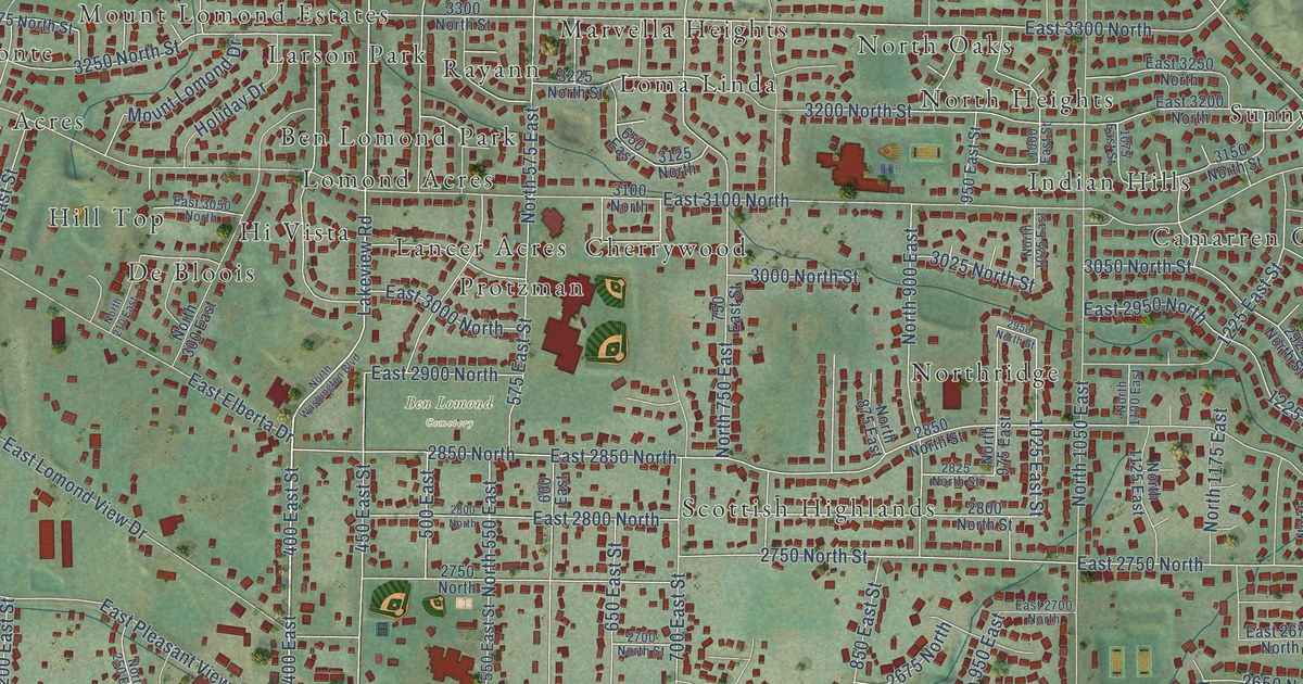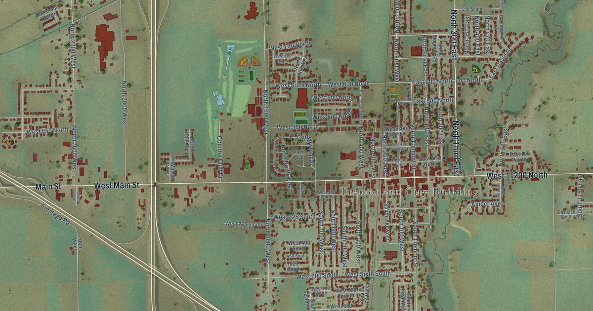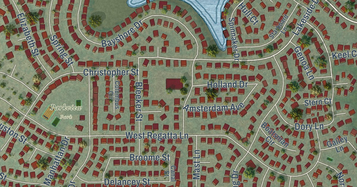
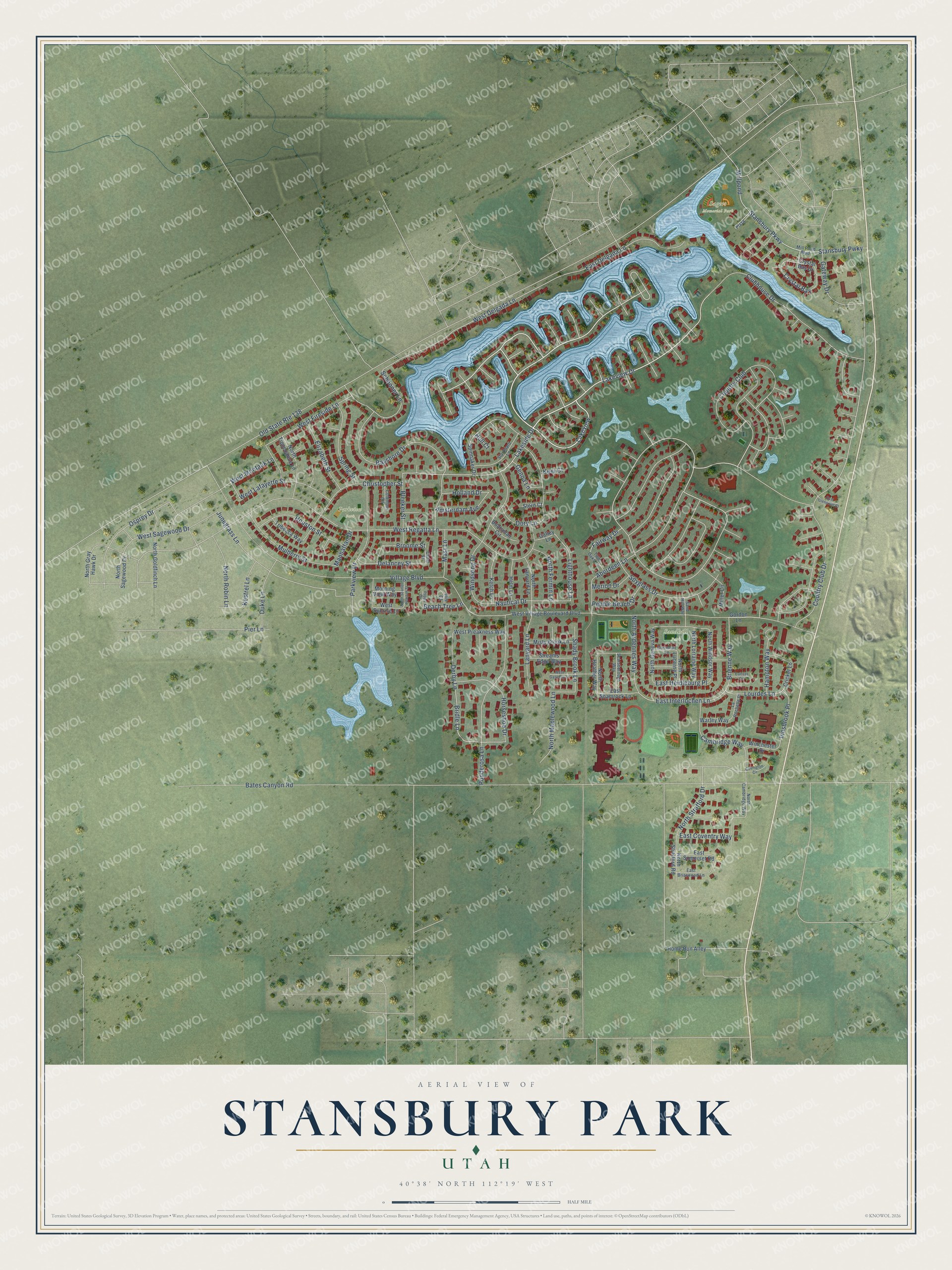
This beautifully detailed map of Stansbury Park, Utah was created in 2026 using aerial imagery combined with modern topographical, census, street and landmark data. It’s a one-of-a-kind view of Stansbury Park that combines accurate data with a vintage aesthetic. The map shows every building in its true location, many of the roads carry their names, and the shaded topographic relief shows the shape of the land.
Explore an aerial view of Stansbury Park, Utah
On the map you’ll find Sagers Memorial Park, Parkview Park, Sandhill Park, Rose Park, Lakeview, and Country Club, along with Lakeside Drive, Lakeview Drive, Country Club Drive, East Interlochen Lane, Lourdes Lane, Brienne Way, and more. If you look closely you can even find your house accurately drawn in its correct location. Zoom in on the preview to look for yours.
Did you know this piece of Stansbury Park, Utah history?
Stansbury Park began as a planned community laid out by the developer Terracor. Its plan called for a sailing lake, an 18-hole golf course, a clubhouse, a pool and parks. Terracor went bankrupt and left in the 1980s, but the community has largely followed that plan.
Take a closer look at the Stansbury Park map
Street and place names on the Stansbury Park, Utah map
These names are printed on the map of Stansbury Park, Utah.
Places: Sagers Memorial Park, Parkview Park and Sandhill Park.
Streets and roads: Lakeside Drive, Lakeview, Lakeview Drive, Country Club, Country Club Drive, East Interlochen Lane, Brienne Way, Lourdes Lane, Stansbury Parkway, West Delgada Lane, Schooner Lane, Holland Drive.
More street names, A to Z
Aberdeen Lane, Amsterdam Avenue, Bates Canyon Road, Bayshore Drive, Beach Tree Lane, Bleeker Street, Boatsman Circle, Bridle Lane, Broome Street, Cambridge Way, Canal Street, Christopher Street, Clermont Lane, Clubhouse Drive, Columbus Circle, Covington Circle, Cricket Lane, Crystal Bay, Crystal Bay Drive, Culross Circle, Delancey Street, Derby Lane, Dory Lane, Duke Lane, East Briarwood Lane, East Coventry Way, East Delgada Lane, East Glenpoint Court, East Heidleburg Place, East Shamrock Lane, East Somerset Road, Elizabeth Street, Fairway Drive, Galley Lane, Gateway Drive, Genoa Lane, Gordon Lane, Hampton Way, Helm Lane, Home Run Alley, Horseshoe Drive, Houston Street, Hull Court, Innsbrook Place, Iris Court, Junegrass Lane, Keel Court, Kestrel Lane, Ketch Lane, Lanyard Lane, La Rochelle Place, Lighthouse Lane, Manhattan Drive, Mast Lane, Merion Drive, Miller Circle, Millpond, Mill Pond Boulevard, Misty Brook Lane, Morning View Way, Mulberry Street, Nautical Drive, North Ardennes Way, North Cambridge Way, North Fermin Lane, North Geneva Way, North Goldfinch Lane, North Gray Hawk Drive, North Heather Way, North Lanyard Lane, North Lorraine Way, North Lucerne Place, North Maplewood Lane, North Robin Lane, North Sagewood Drive, North Scarlet Horizon Street, North Stratford Drive, North Stratford Road, North Tippecanoe Lane, North Windsor Way, Old State Route 138, Osprey Drive, Parkview Drive, Pebble Beach Drive, Pier Lane, Plaza, Ponderosa Lane, Poppy Circle, Sand Hill Way, Scarsborough Way, Shady Brook Lane, Spinnaker Drive, Spring Street, Spyglass Drive, Stansbury Pwky, Starboard Lane, Stern Court, Streams Edge Way, Tribecca Way, Twin Oaks Lane, Village Boulevard, Warley Way, West Fireside Lane, West Gascony Lane, West Lafayette Street, West Montauk Lane, West Preakness Way, West Regatta Lane, West Sagewood Drive, West Sunrise Lane, West Village Boulevard Boulevard, Winchester Drive, Windsong Drive.
See the Stansbury Park, Utah map on a wall
The Stansbury Park map as an 18 x 24 inch print in a black frame.

This beautifully detailed map of Stansbury Park makes an attractive addition to your office, library, or den, and it can even be used to teach children the geography and history of the area. It also makes a great gift for someone who left Stansbury Park and still calls it home. When you’re done exploring, click here to get your copy of the Stansbury Park map.