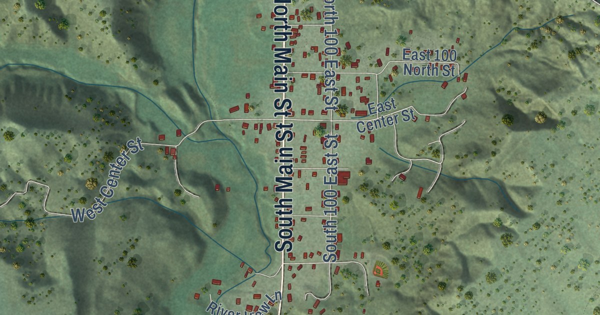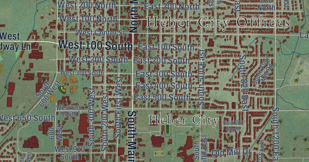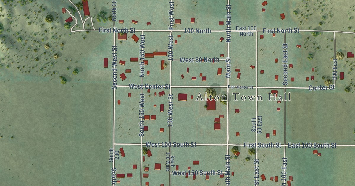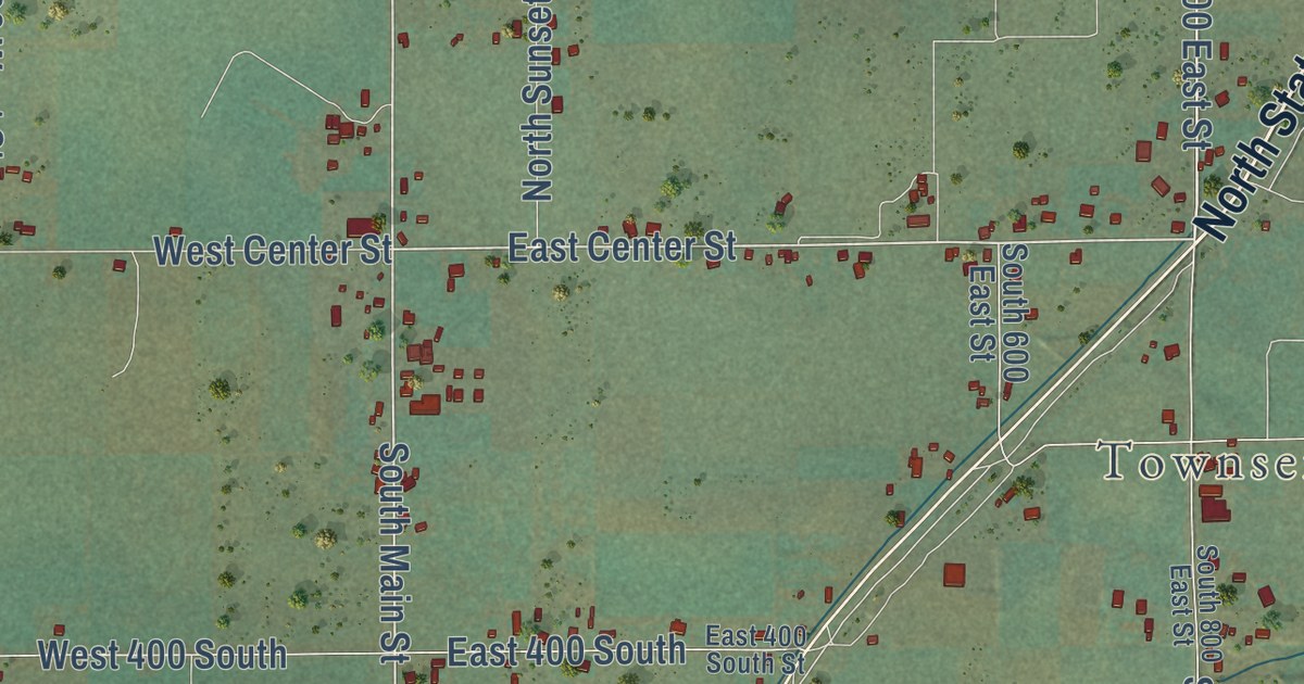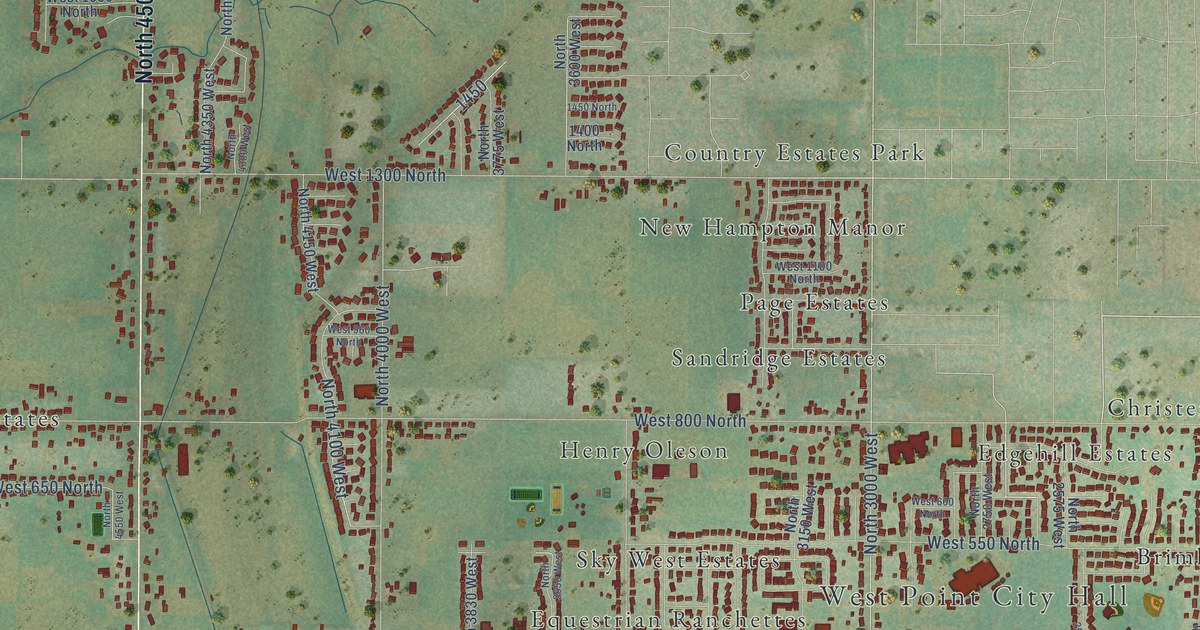
This beautifully detailed map of West Point, Utah was created in 2026 using aerial imagery combined with modern topographical, census, street and landmark data. It’s a one-of-a-kind view of West Point that combines accurate data with a vintage aesthetic. The map shows every building in its true location, many of the roads carry their names, and the shaded topographic relief shows the shape of the land.
Explore an aerial view of West Point, Utah
On the map you’ll find West Point City Hall, Bingham Estates, Brimhall Estates, Christensen, Country Estates Park, Edgehill Estates, Equestrian Ranchettes, Frew Estates, Fuit, Henry Oleson, New Hampton Manor, Oakcrest Estates, and more. If you look closely you can even find your house accurately drawn in its correct location. Zoom in on the preview to look for yours.
Did you know this piece of West Point, Utah history?
From OnlineUtah: "The community was an outgrowth of Syracuse, with an early name of South Hooper. the origin of the name is the result of locating the settlement on a point or small peninsula extending out into the Great Salt Lake."
Take a closer look at the West Point map
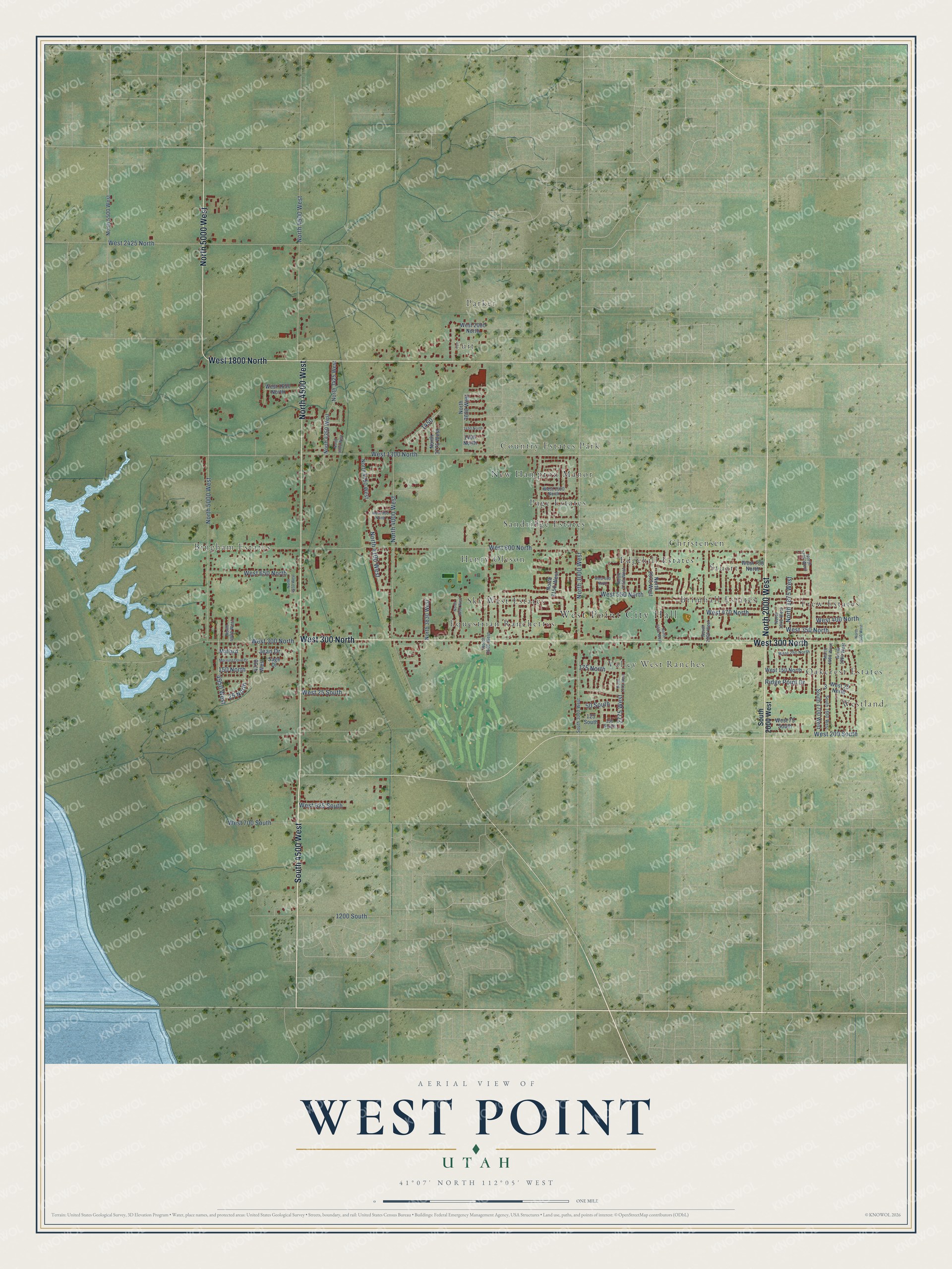
Street and place names on the West Point, Utah map
These names are printed on the map of West Point, Utah.
Places: West Point City Hall, Bingham Estates, Brimhall Estates, Christensen, Country Estates Park, Edgehill Estates, Equestrian Ranchettes, Frew Estates, Fuit, Henry Oleson, New Hampton Manor, Oakcrest Estates, Page Estates, Parker, Sandridge Estates, Sky West Estates, Stuart, Valley West Ranches and Westland.
Streets and roads: North 2000 West, South 4500 West, North 5000 West, West 300 North, North 4500 West, West 1800 North, North 3000 West, West 800 North, West 1300 North, West 550 North, West 700 South, North 4000 West.
More street names, A to Z
25 North, 50 South, 125 South, 150 North, 150 South, 175 North, 1200 South, 1400 North, 1450 North, 2775 West, 4750 West, 4950 West, Jean Drive, Mallard, Morning Dove Drive, North 1500 West, North 1600 West, North 1660 West, North 1775 West, North 1875 West, North 1940 West, North 2300 West, North 2550 West, North 2575 West, North 2750 West, North 2775 West, North 3150 West, North 3425 West, North 3500 West, North 3600 West, North 3650 West, North 3775 West, North 3830 West, North 4100 West, North 4150 West, North 4300 West, North 4350 West, North 4550 West, North 4920 West, North 5500 West, Ridge Point Drive, Sage Drive, South 1660 West, South 1700 West, South 2000 West, South 3000 West, West 25 North, West 25 South, West 75 South, West 150 North, West 200 South, West 250 North, West 350 North, West 400 North, West 470 North, West 600 North, West 625 South, West 650 North, West 750 North, West 960 North, West 1100 North, West 1650 North, West 2000 North, West 2425 North.
See the West Point, Utah map on a wall
The West Point map as an 18 x 24 inch print in a black frame.

This beautifully detailed map of West Point makes an attractive addition to your office, library, or den, and it can even be used to teach children the geography and history of the area. It also makes a great gift for someone who left West Point and still calls it home. When you’re done exploring, click here to get your copy of the West Point map.