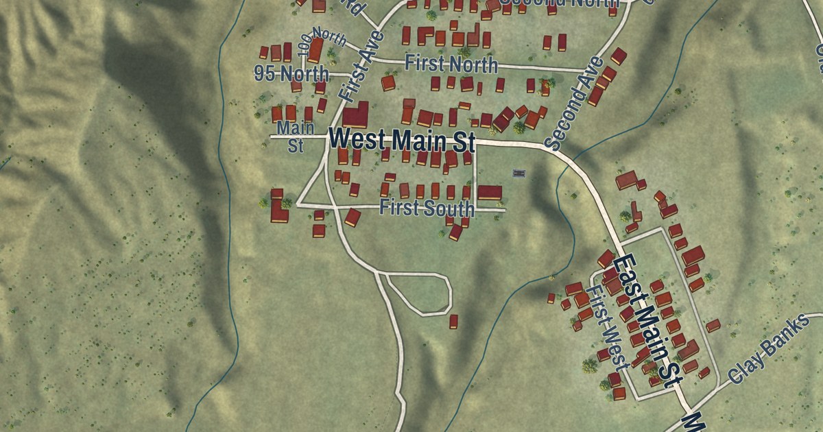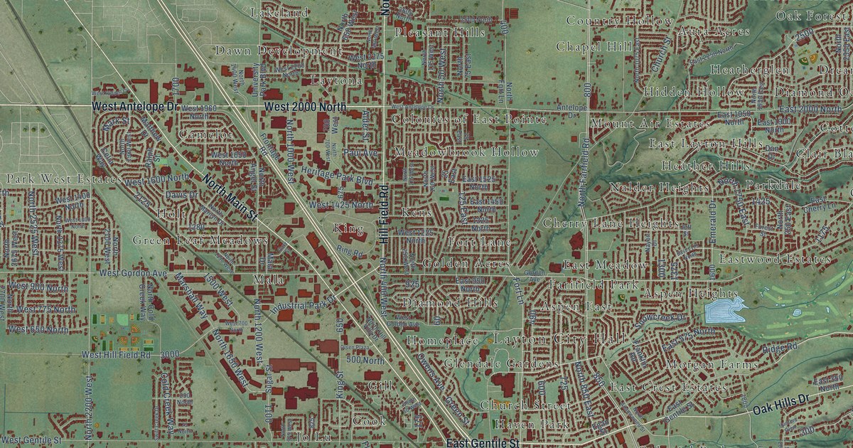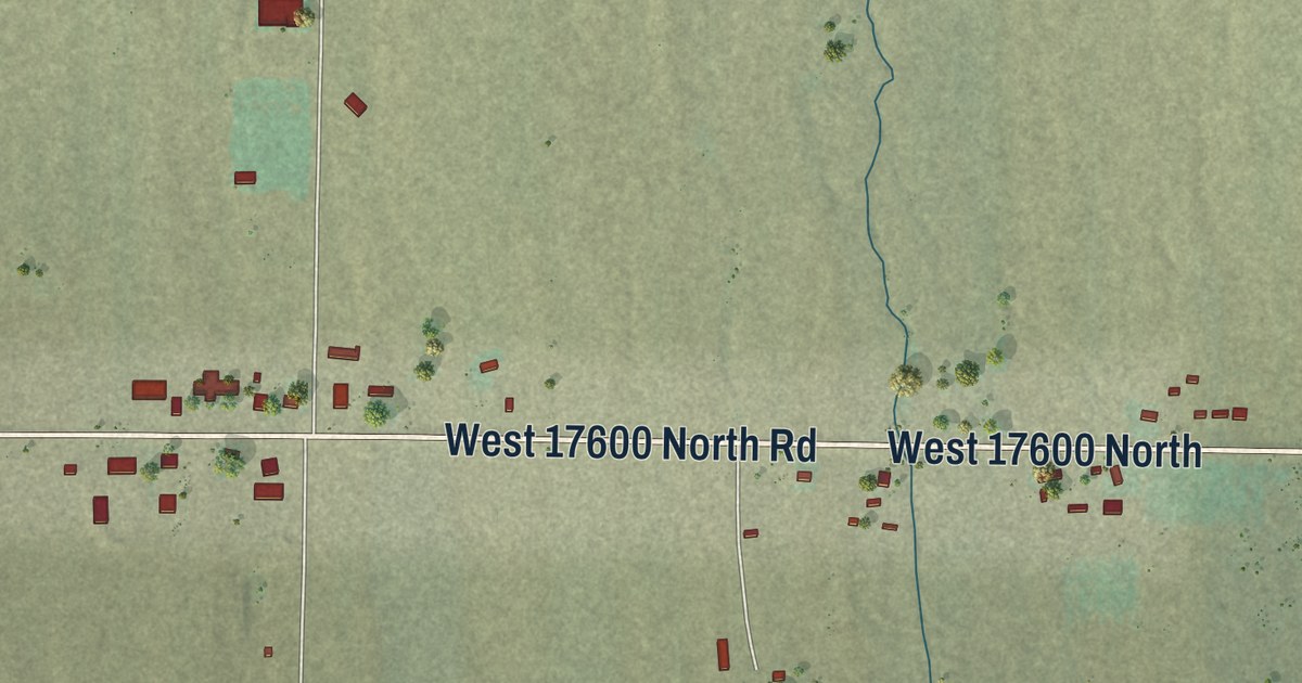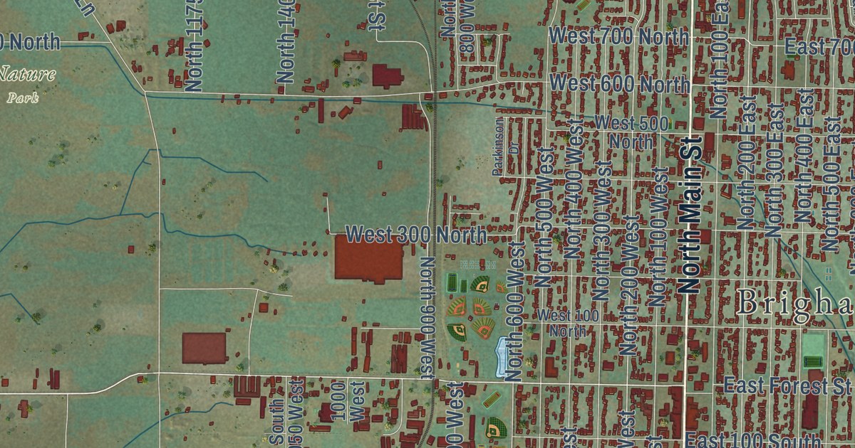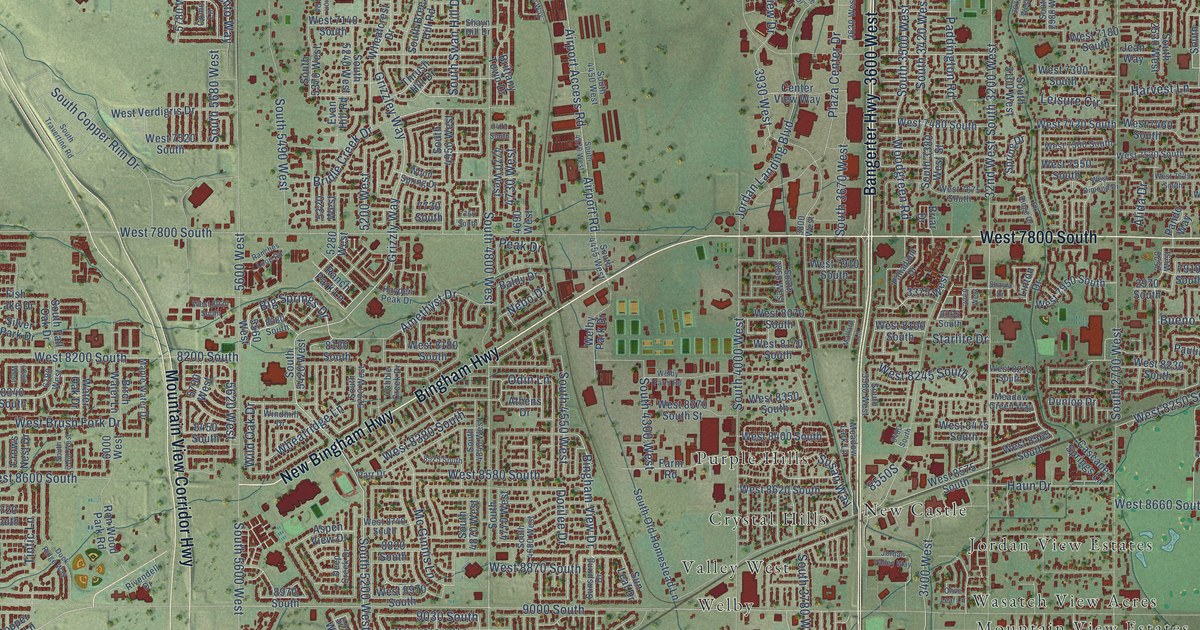
This beautifully detailed map of West Jordan, Utah was created in 2026 using aerial imagery combined with modern topographical, census, street and landmark data. It’s a one-of-a-kind view of West Jordan that combines accurate data with a vintage aesthetic. The map shows every building in its true location, many of the roads carry their names, and the shaded topographic relief shows the shape of the land.
Explore an aerial view of West Jordan, Utah
On the map you’ll find West Jordan City Hall, April Meadows, Bingham Estates, Brower, Brown Meadows, Castleford Estates, Chattel Estates Number Four, Colonial Estates, Country Willows, Countryside Estates, County Wood, Crystal Hills, and more. If you look closely you can even find your house accurately drawn in its correct location. Zoom in on the preview to look for yours.
Did you know this about West Jordan, Utah?
From OnlineUtah: "West Jordan's name captures some of the flavor of what the Mormon pioneers considered their promised land. They saw strong similarities in this arid western desert and the biblical lands."
Take a closer look at the West Jordan map
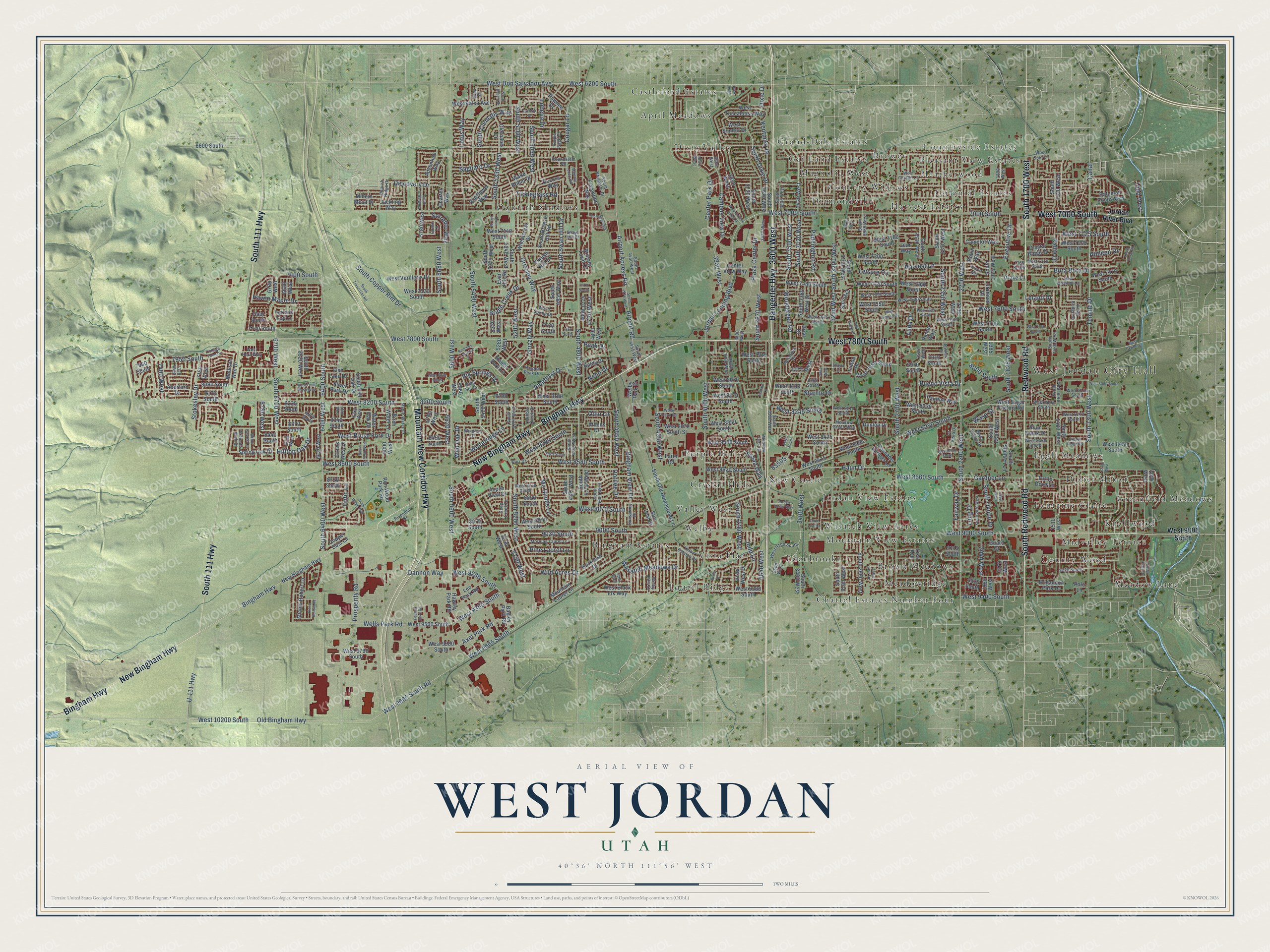
Street and place names on the West Jordan, Utah map
These names are printed on the map of West Jordan, Utah.
Places: West Jordan City Hall, April Meadows, Bingham Estates, Brower, Brown Meadows, Castleford Estates, Chattel Estates Number Four, Colonial Estates, Country Willows, Countryside Estates, County Wood, Crystal Hills, Diamondville, Didier Minor, Dixie Valley, Edenbrooke, Eggli Meadows, Fontaine Claire, Gai Land Estates, Grand-Dale Estates, Greenfield Meadows, Harvest Estates, Heatherwood, Jordan View Estates, Knollwood, Laurel Ridge, Magnolia West, Meadow Lane, Meadowridge, Midvalley Terrace, Mountain View Estates, New Castle, Oquirrh Shadows, Pleasant View Estates, Purple Hills, Valley West, Vista Plat, Wasatch View Acres and Welby.
Streets and roads: New Bingham Highway, West 7800 South, South Redwood Road, Mountain View Corridor Highway, Bangerter Highway, 3600 West, South 1700 West, Bingham Highway, South 111 Highway, Redwood Road, West 7000 South, West Don Salvador Avenue.
More street names, A to Z
32nd West, 1000 West, 1020 West, 1220 West, 1510 West, 1870 West, 1890 West, 1900 West, 1980 West, 1985 West, 2040 West, 2200 West, 2230 West, 2520 West, 2970 South, 3075 West, 3260 West, 3375 West, 3400 West, 3420 West, 3500 West, 3620 West, 3640 West, 3800 West, 3840 West, 3850 West, 3930 West, 3955 West, 4050 West, 4550 West, 4690 West, 4730 West, 4770 West, 5150 West, 5200 West, 5280 West, 5290 West, 5320 West, 5560 West, 5600 West, 5620 West, 5700 West, 5780 West, 6000 West, 6180 West, 6290 West, 6400 South, 6400 West, 6430 West, 6600 South, 6615 West, 6630 West, 6700 West, 6730 West, 6780 West, 7000 South, 7150 West, 7320 West, 7365 South, 7400 South, 7400 West, 7470 South, 7660 South, 7730 South, 7740 South, 7750 South, 7910 South, 7950 South, 7980 South, 8000 South, 8065 South, 8080 South, 8090 South, 8170 South, 8180 South, 8200 South, 8235 South, 8320 South, 8340 South, 8370 South, 8400 South, 8440 South, 8450 South, 8525 South, 8720 South, 8820 South, 8970 South, 9000 South, 9030 South, 9115 South, 9220 South, 9325 South, Aberford Drive, Adventure Way, Airport Access Road, Airport Road, Alane Hollow Road, Alida Drive, Amethyst Drive, Aspen View Drive, Athens Drive, Athleen Drive, Axel Park Road, Bagley Park Road, Baldy Drive, Bateman Ponds Way, Betty Drive, Big Springs Drive, Bingham View Drive, Birch Water Lane, Bora Bora Drive, Briar Drive, Bridle Creek Drive, Brigadoon Park Drive, Bristol Ridge Road, Brittany Town Drive, Bueno Vista Drive, Callie Drive, Camelot Way, Campus View Drive, Canal, Cascade Springs Lane, Center Park Drive, Center View Way, Charter Way, Clernates Drive, Cobble Creek Drive, Como Lane, Copper Dust Lane, Cottage Point Drive, Cougar Lane, Crows Nest Drive, Crystal Ridge Drive, Dannon Way, Decora Way, Deep Creek Drive, Delicate Arch Drive, Discovery Drive, Dixie Drive, Dorilee Drive, Drake Lane, Duck Ridge Way, Dunlop Drive, Elk Ridge Drive, Evan Hill Road, Executive Drive, Fairway Drive, Farm Road, Feulner Park Road, Fish Lake Drive, Florentine Way, Fuchsia Drive, Gardner Lane, Grizzley Way, Grizzly Way, Guard Court, Harkness Drive, Harvest Lane, Haun Drive, Haven Maple Drive, Hawley Park Road, Hayden Peak Drive, Hidden Peak Drive, Hilltop Oak Drive, Jackling Way, Jana Lee Drive, Jean Way, Jewkes Street, Jordan Landing Boulevard, Jordan River Boulevard, Jordan Valley Way, Judd Lane, Kentucky Drive, Kings Bridge Drive, Knights Way, La Vista Drive, Leisure Circle, Leland Drive, Leo Park Road, Lilac Drive, Linton Drive, Lisa Avenue, Lobelia Drive, Long Drive, Lotus Way, Madison Nan Drive, Majestic Loop Road, Mallard Lane, Maple Water Drive, Mc Ginnis Lane, Meadow Green Way, Meadow Lark Lane, Michal Robert Lane, Miners Mesa Drive, Morning Laurel Lane, Mountain Laurel Lane, Nebo Drive, Odin Lane, Old Bingham Highway, Olive Leaf Lane, Oquirrh Ridge Drive, Orion Hill Road, Paddington Road, Palladium Drive, Pando Way, Parr Drive, Pauline Way, Pawnee Drive, Peak Drive, Pine Laurel Lane, Plaza Center Drive, Plum Creek Drive, Polo Lane, Prosperity Road, Purple Sage Drive, Ranches Loop Road, Ranch Park Lane, Red Heather Lane, Rivendell Drive, Robin Way, Ron Wood Park Road, Roundstem Road, Saguaro Drive, Shayla Drive, Shayn Hill Drive, Silver Park Drive, Sorrento Way, South 1300 West, South 1480 West, South 1500 West, South 1520 West, South 1530 West, South 1825 West, South 1950 West, South 1975 West, South 2070 West, South 2200 West, South 2350 West, South 2370 West, South 2530 West, South 2700 West, South 2980 West, South 2990 West, South 3100 West, South 3140 West, South 3200 West, South 3380 West Street, South 3400 West, South 3420 West, South 3500 West, South 3535 West, South 3580 West, South 3620 West, South 3670 West, South 3720 West, South 3780 West, South 3850 West, South 4000 West, South 4300 West, South 4450 West, South 4455 West, South 4550 West, South 4570 West, South 4680 West, South 4770 West, South 4800 West, South 4840 West, South 4870 West, South 4950 West, South 5095 West, South 5180 West, South 5200 West, South 5220 West, South 5240 West, South 5330 West, South 5370 West, South 5420 West, South 5490 West, South 5600 West, South 5680 West, South 5785 West, South 6160 West, South 6400 West, South 6520 West, South 6700 West, South Breeze Hill Road, South Clematis Way, South Copper Rim Drive, South Cosmo Drive, South Dixie Drive, South Fall Oak Drive, South Navigator Drive, South Okubo Drive, South Old Homestead Lane, South Rural Road, South Shulsen Lane, South Swan Hill Drive, South Travertine Road, Spring Drive, Spring Oak Drive, Starflower Way, Starlite Drive, Stokesley Drive, Sun Leaf Drive, Sunspring Drive, Susan Way, Temple Drive, Terrace Top Lane, Teton Estates Drive, Thorndale Way, Thrush Hill Drive, Ticklegrass Road, Tintic Lane, Turtle Dove Lane, U-111 Highway, Uranium Drive, Vista West Drive, Wake Robin Drive, Wasa Street, Wasatch Meadows Drive, Water Oak Drive, Water Pointe Drive, Welby Farm Road, Welby Hills Drive, Welby Park Drive, Wells Park Road, West 6200 South, West 7125 South, West 7140 South, West 7180 South, West 7200 South, West 7300 South, West 7310 South, West 7370 South, West 7420 South, West 7460 South, West 7480 South, West 7500 South, West 7520 South, West 7530 South, West 7550 South, West 7600 South, West 7625 South, West 7675 South, West 7680 South, West 7700 South, West 7705 South, West 7910 South, West 7950 South, West 8030 South, West 8050 South, West 8070 South, West 8100 South, West 8120 South, West 8170 South, West 8180 South, West 8195 South, West 8200 South, West 8210 South, West 8230 South, West 8245 South, West 8250 South, West 8270 South, West 8350 South, West 8370 South Street, West 8380 South, West 8400 South, West 8430 South, West 8450 South, West 8475 South, West 8490 South, West 8565 South, West 8575 South, West 8580 South, West 8600 South, West 8620 South, West 8660 South, West 8740 South, West 8870 South, West 8970 South, West 9000 South, West 9100 South, West 9280 South, West 9350 South, West 9380 South, West 9400 South, West 9500 South, West 9580 South, West 9665 South, West 9665 South Road, West 9790 South, West 10200 South, West Balsa Avenue, West Black Elk Way, West Brush Fork Drive, West Carson Lane, West Center Street, West Cobble Ridge Drive, West Cole Lane, West Dimond Drive, West Hera Way, West Lone Wash Way, West Sugar Factory Road, West Sumter Drive, West Tuscaloosa Way, West Verdigris Drive, Wheatcrest Drive, Wheatridge Lane, Wild Acres Drive, Wild Oak Drive, Wind Caves Lane, Windmill Drive, Woodgreen Road, Wood Spring Drive.
See the West Jordan, Utah map on a wall
The West Jordan map as an 18 x 24 inch print in a black frame.

This beautifully detailed map of West Jordan makes an attractive addition to your office, library, or den, and it can even be used to teach children the geography and history of the area. It also makes a great gift for anyone with West Jordan roots. When you’re done exploring, click here to get your copy of the West Jordan map.