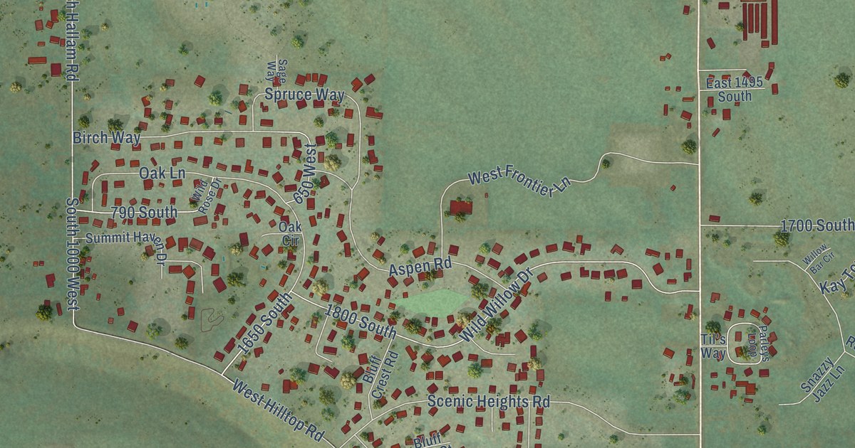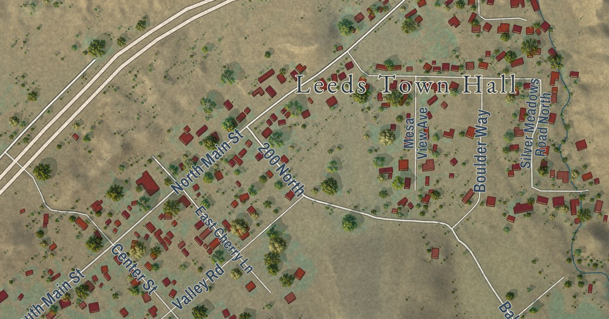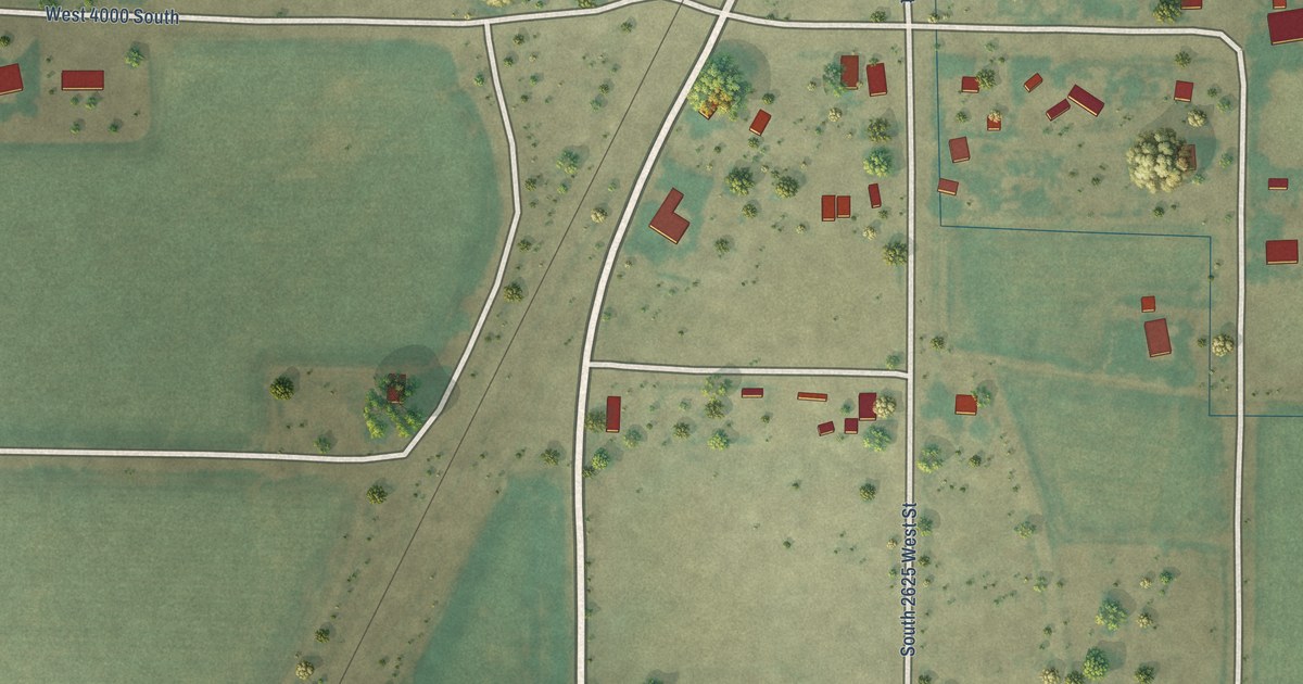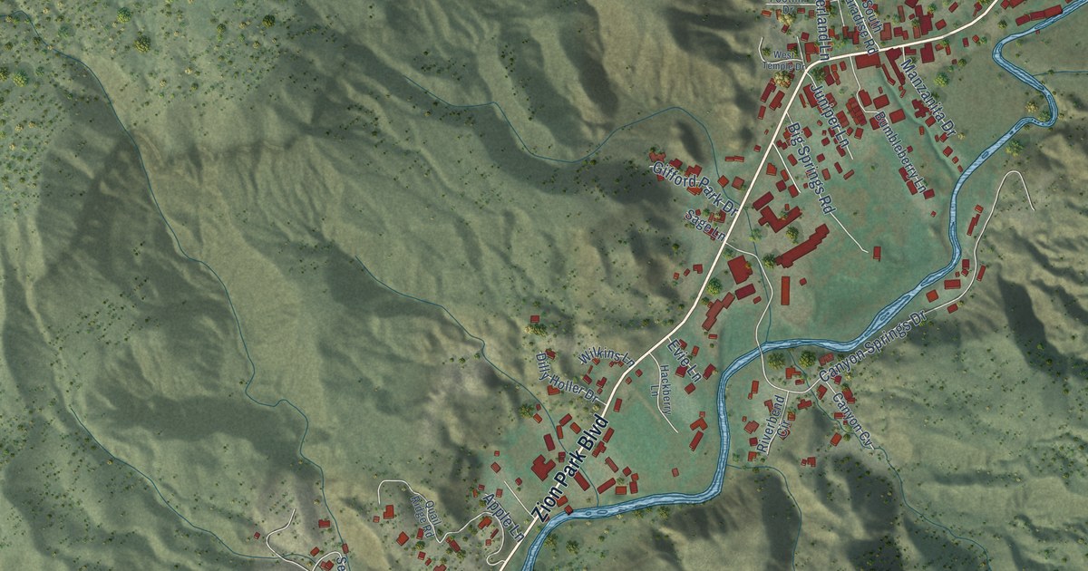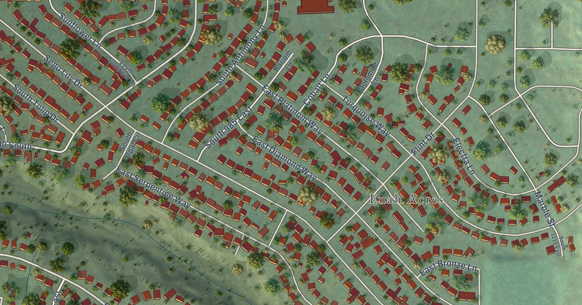
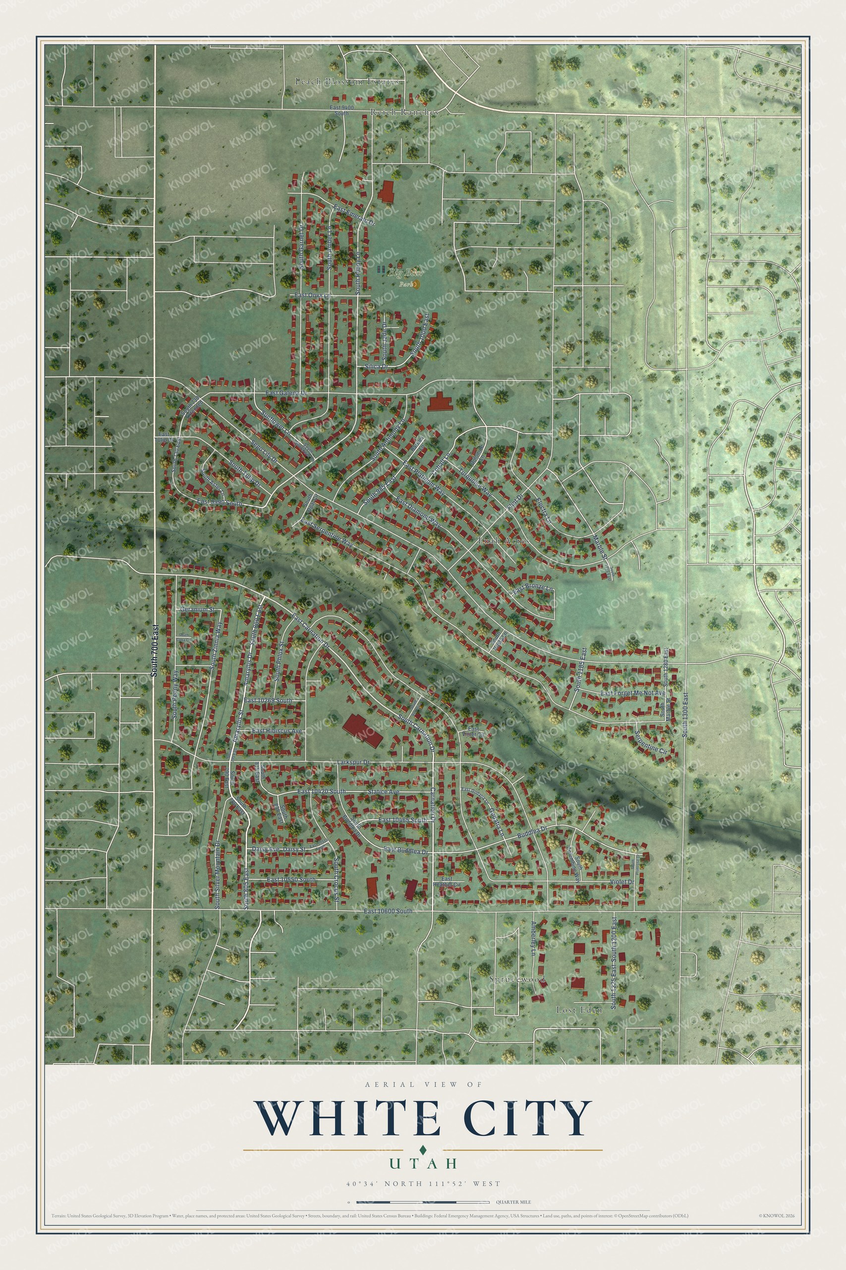
This beautifully detailed map of White City, Utah was created in 2026 using aerial imagery combined with modern topographical, census, street and landmark data. It’s a one-of-a-kind view of White City that combines accurate data with a vintage aesthetic. The map shows every building in its true location, many of the roads carry their names, and the shaded topographic relief shows the shape of the land.
Explore an aerial view of White City, Utah
On the map you’ll find Big Bear Park, Euah Acres, Lost Eden, Peach Blossom Estates, Reich Ranches, Sprucewood, South 700 East, and South 805 East, along with South Carnation Drive, Amaryllis Drive, Amaryllis Street, Carnation Drive, and more. If you look closely you can even find your house accurately drawn in its correct location. Zoom in on the preview to look for yours.
Did you know this piece of White City, Utah history?
From OnlineUtah: "White City ( Salt Lake ) was an early subdivision or outgrowth of Sandy covering that area from Seventh East to Twentieth East and from Ninety-fourth South to One hundred and Sixth south. It was named for Kenneth White, the developer."
Take a closer look at the White City map
Street and place names on the White City, Utah map
These names are printed on the map of White City, Utah.
Places: Big Bear Park, Euah Acres, Lost Eden, Peach Blossom Estates, Reich Ranches and Sprucewood.
Streets and roads: South 700 East, South 805 East, South Carnation Drive, Amaryllis Drive, Amaryllis Street, Carnation Drive, East Carnation Drive, South 800 East, South Poppy Lane, South Zinnia Way, Sego Lily Drive, Larkspur Drive.
More street names, A to Z
Amberley Lane, Barium Lane, Buddlea Drive, Cobalt Lane, Daisy Avenue, Daisy Street, Dolomite Lane, East 9400 South, East 9990 South, East 10269 South, East 10420 South, East 10465 South, East 10515 South, East 10550 South, East 10600 South, East Bronze Lane, East Buddlea Drive, East Diamond Way, East Emerald Drive, East Forget Me Not Avenue, East Galena Drive, East Godatia Lane, East Heather Circle, East Hibiscus Avenue, East Onyx Lane, East Platinum Way, East Serpentine Way, East Tulip Drive, East Violet Circle, Electra Lane, Flint Drive, Geranium Street, Godatia Lane, Marble Street, Serpentine Circle, Silica Drive, South 730 East, South 730 Extended, South 780 East, South 790 East, South 795 East, South 815 East, South 835 East, South 985 East, South 1000 East, South 1185 East, South 1200 East, South 1215 East, South 1225 East, South 1280 East, South 1300 East, South Amber Lane, South Antimony Lane, South Aster Lane, South Buddlea Drive, South Cana Circle, South Columbine Way, South Crocus Street, South Garnet Drive, South Hosta Lane, South Jade Drive, South Marble Street, South Opal Circle, South Peony Way, South Phlox Street, South Primrose Drive, South Silver Mountain Drive, South Sunflower Lane, South Tulip Drive, South Veronica Street, Statice Avenue, Sunflower Lane, Turquoise Way, Violet Drive.
See the White City, Utah map on a wall
The White City map as an 18 x 24 inch print in a black frame.

This beautifully detailed map of White City makes an attractive addition to your office, library, or den, and it can even be used to teach children the geography and history of the area. It also makes a great gift for anyone with White City roots. When you’re done exploring, click here to get your copy of the White City map.