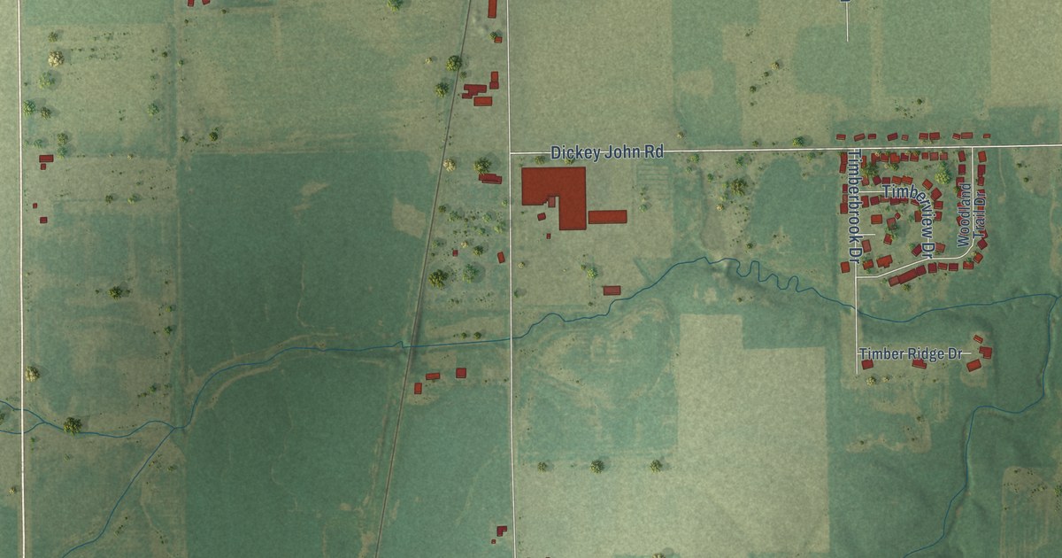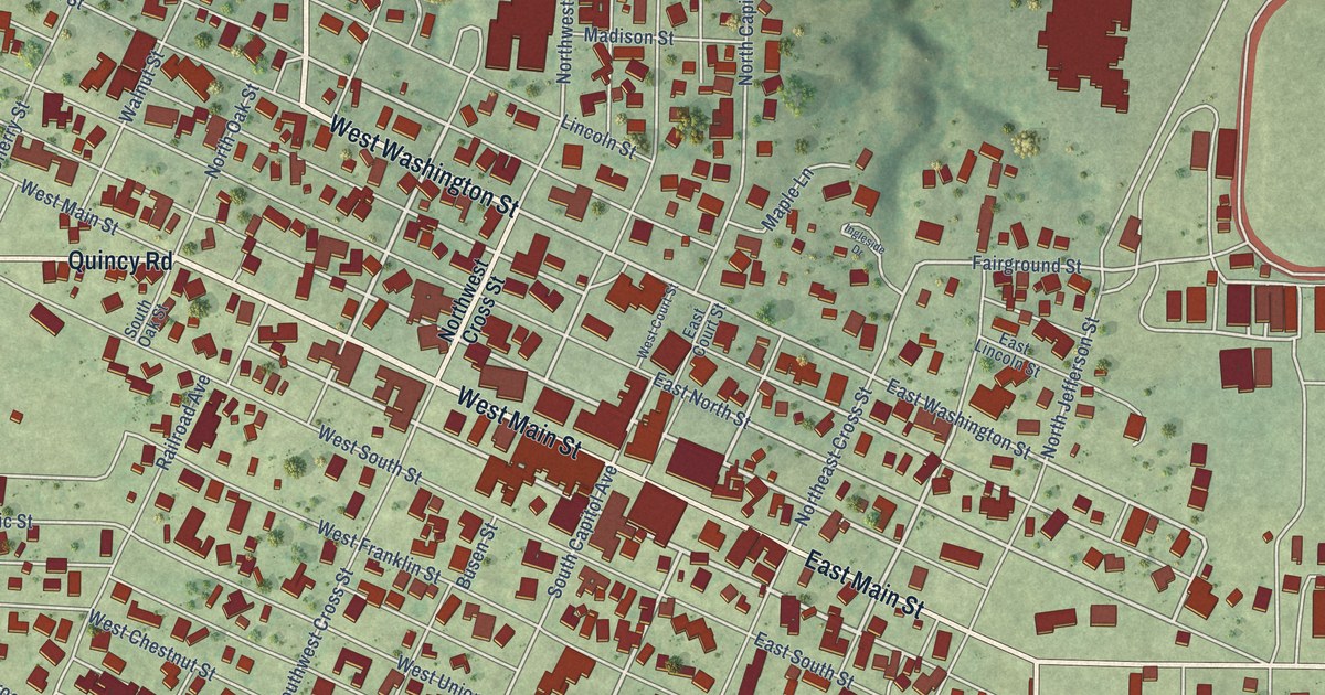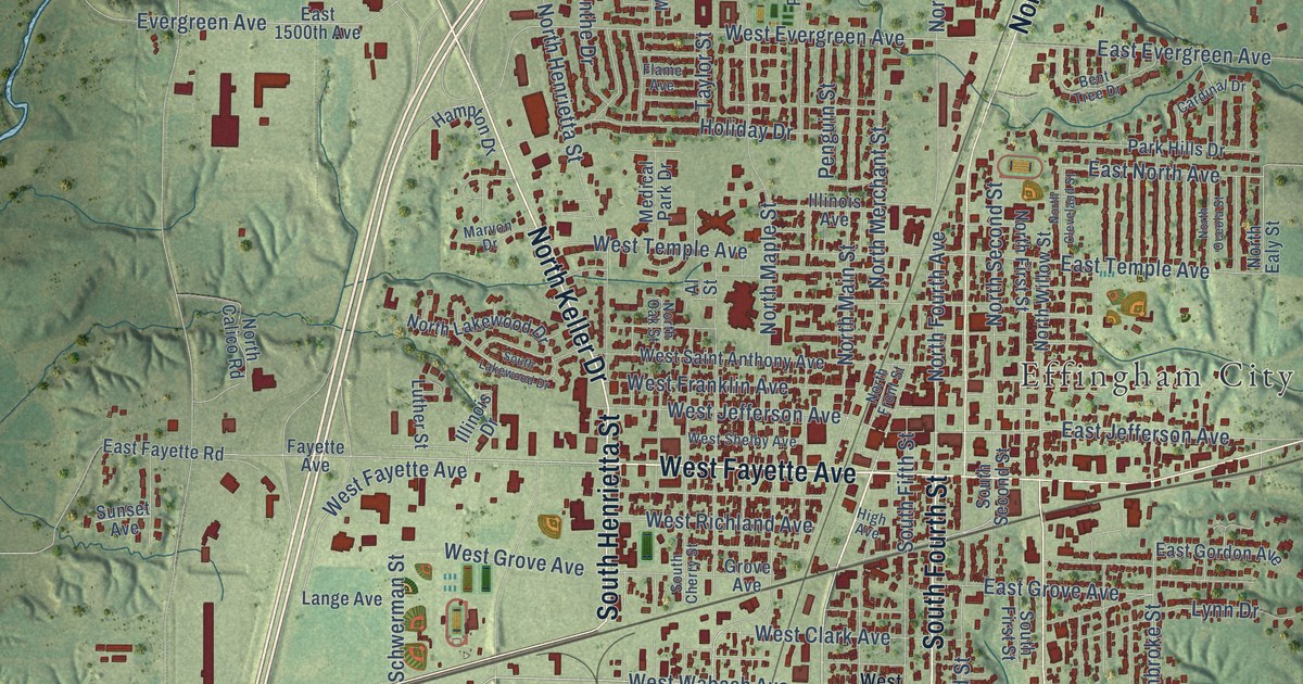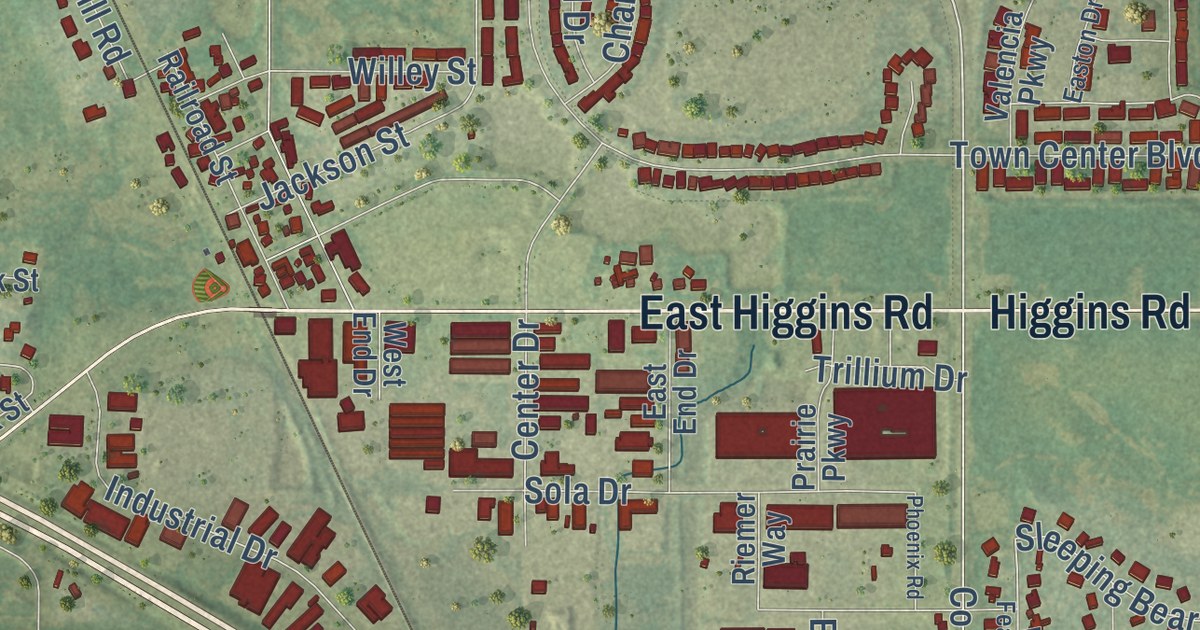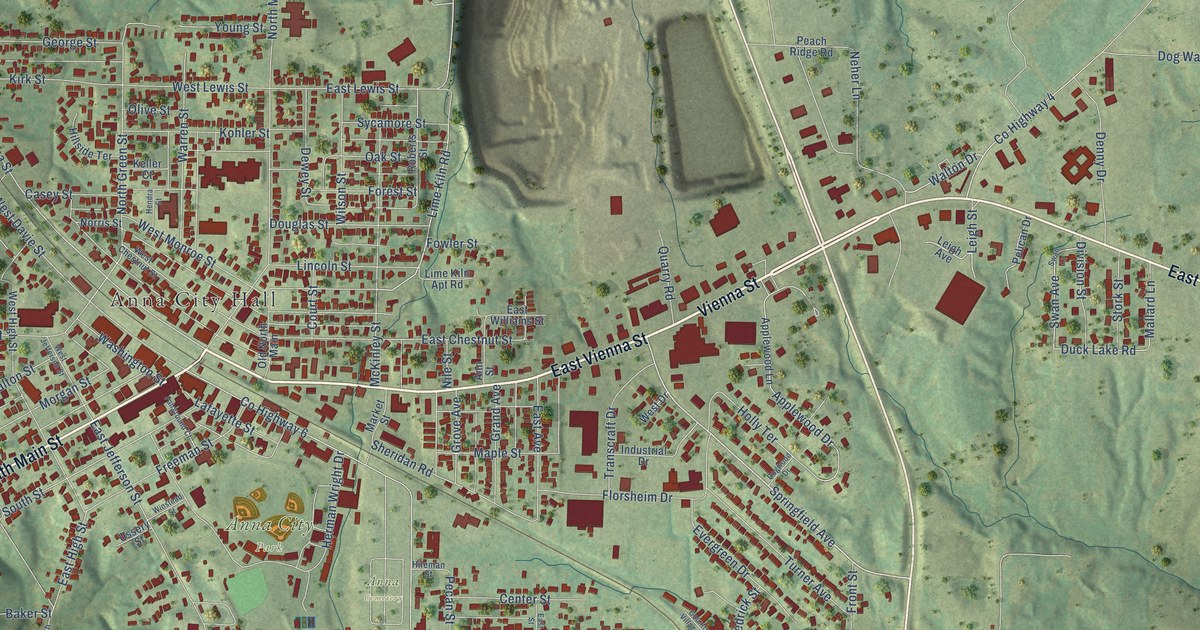
This beautifully detailed map of Anna, Illinois was created in 2026 using aerial imagery combined with modern topographical, census, street and landmark data. It’s a one-of-a-kind view of Anna that combines accurate data with a vintage aesthetic. The map shows every building in its true location, many of the roads carry their names, and the shaded topographic relief shows the shape of the land.
Explore an aerial view of Anna, Illinois
On the map you’ll find Anna City Hall, Anna Cemetery, and Anna City Park, along with Vienna Street, East Vienna Street, South Main Street, Springfield Avenue, West Vienna Street, Lime Kiln Road, Magnolia Drive, East High Street, Duck Lake Road, and more. If you look closely you can even find your house accurately drawn in its correct location. Zoom in on the preview to look for yours.
Did you know this piece of Anna, Illinois history?
From the Looking for Lincoln Heritage Coalition: "Jonesboro businessman, Winstead Davie was not one to ignore an opportunity and personally paid the cost of the survey across his land east of Jonesboro. He donated thirty-seven acres in 1852 and named the new town site Anna, after his wife."
Take a closer look at the Anna map
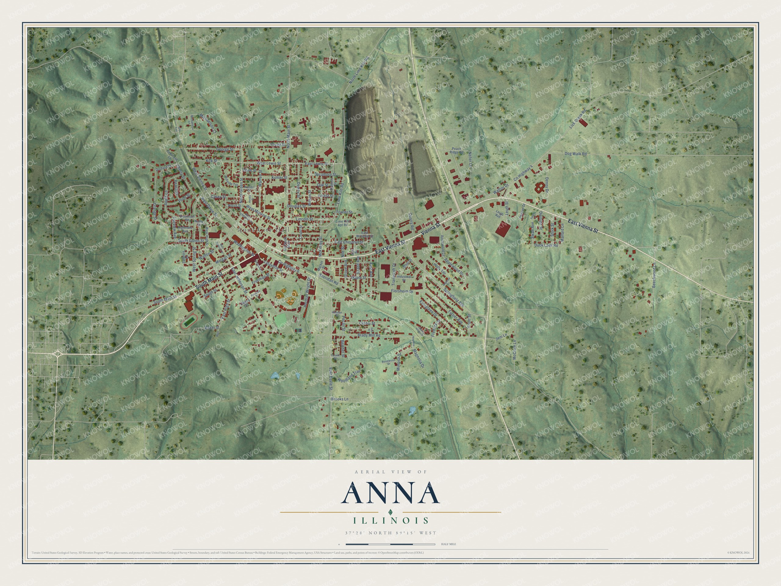
Street and place names on the Anna, Illinois map
These names are printed on the map of Anna, Illinois.
Places: Anna City Hall, Anna Cemetery and Anna City Park.
Streets and roads: Vienna Street, East Vienna Street, South Main Street, Springfield Avenue, West Vienna Street, Lime Kiln Road, Magnolia Drive, East High Street, Duck Lake Road, County Highway 4, Apple Lane, Holly Terrace.
More street names, A to Z
970 East, Ann Street, Applewood Drive, Applewood Lane, Baker Street, Beechwood Lane, Belcher Street, Brady Mill Road, Brooks Lane, Casey Street, Center Street, Cherry Street, Country Village Drive, County Highway 6, Court Street, Deerfield Lane, Denny Drive, Dewey Street, Dickinson Road, Division Street, Dog Walk Road, Dogwood Drive, Douglas Street, East Avenue, East Chestnut Street, East Davie Street, East Jefferson Street, East Lewis Street, East Street, East Williams Street, Evergreen Drive, Fairground Court, Fairview Avenue, Florsheim Drive, Forest Street, Fowler Street, Fredrick Street, Freeman Street, Front Street, George Street, Grand Avenue, Grove Avenue, Hendra Street, Herman Wright Drive, High, Highmore Avenue, Hileman Street, Hillside Terrace, Industrial Drive, Jeni Lane, Keller Court, Kirk Street, Kohler Street, Lafayette Street, Leigh Avenue, Leigh Street, Lick Creek Road, Lime Kiln Apt Road, Lincoln Street, Magnolia Lane, Mallard Lane, Maple Street, Market Street, McClure Lane, McKinley Street, Michaelson Court, Michaelson Lane, Mimosa Drive, Morgan Street, Neher Lane, Nile Street, Norris Street, North Green Street, North Lime Kiln Road, North Main Street, North Street, Oak Street, Old North Main, Olive Street, Orange Street, Orchard Drive, Peach Drive, Peach Ridge Road, Pecan Street, Pelican Drive, Plum Street, Quarry Road, Roberts Street, Rosewood Drive, Sanborn Drive, Sheridan Road, South Green Street, South Street, Stork Street, Swan Avenue, Swan Lane, Sycamore Street, Transcraft Drive, Tucker Street, Turner Avenue, Ussery Street, Walton Drive, Walton Street, Warren Street, Washington Street, West Chestnut Street, West Davie Street, West Drive, West High Street, West Jefferson Street, West Lewis Street, West Monroe Street, West Spring Street, Wilson Street, Winstead Street, Woodland Trail, Young Street.
See the Anna, Illinois map on a wall
The Anna map as an 18 x 24 inch print in a black frame.

This beautifully detailed map of Anna makes an attractive addition to your office, library, or den, and it can even be used to teach children the geography and history of the area. It also makes a great gift for someone who left Anna and still calls it home. When you’re done exploring, click here to get your copy of the Anna map.