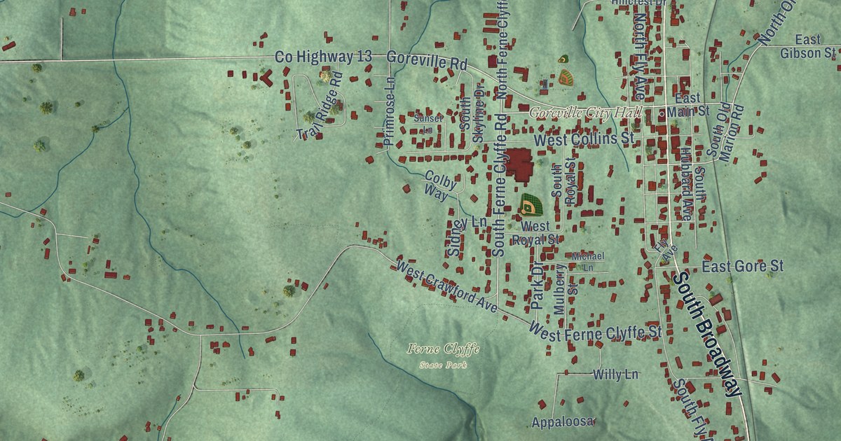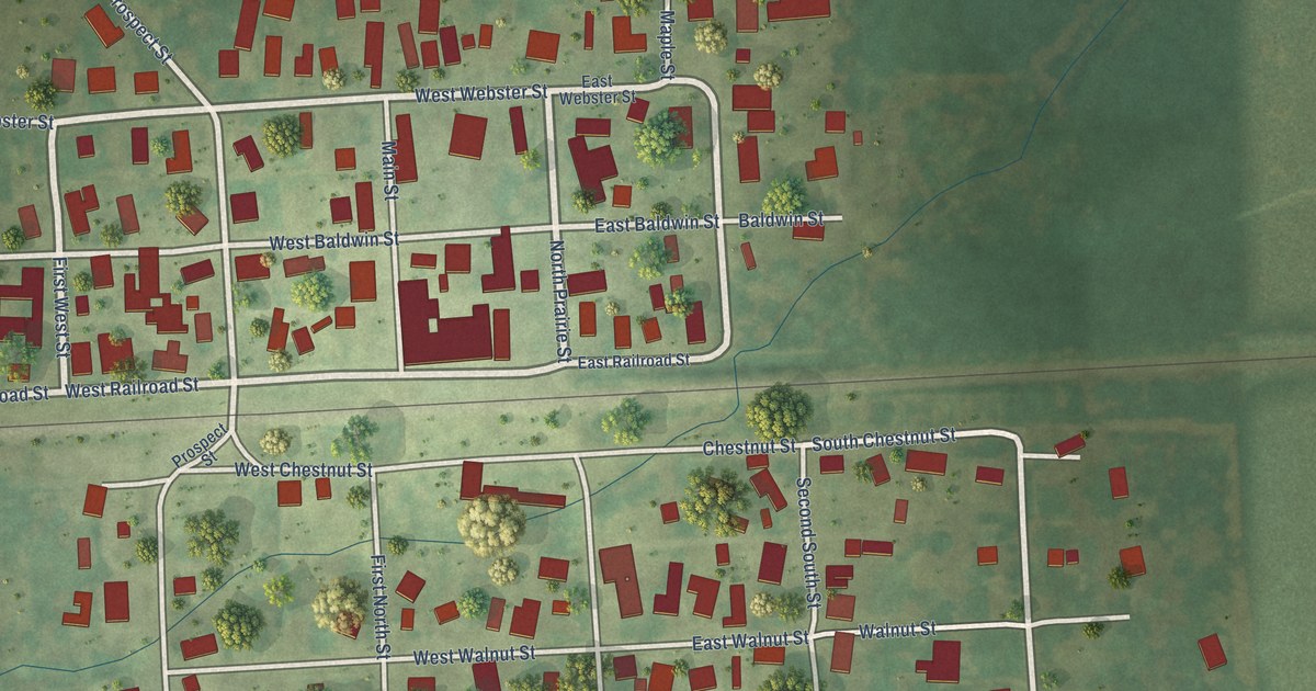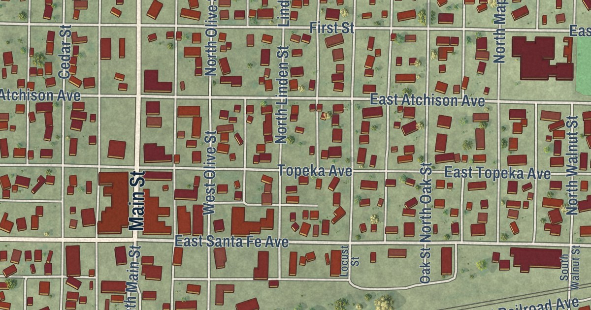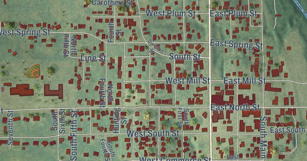
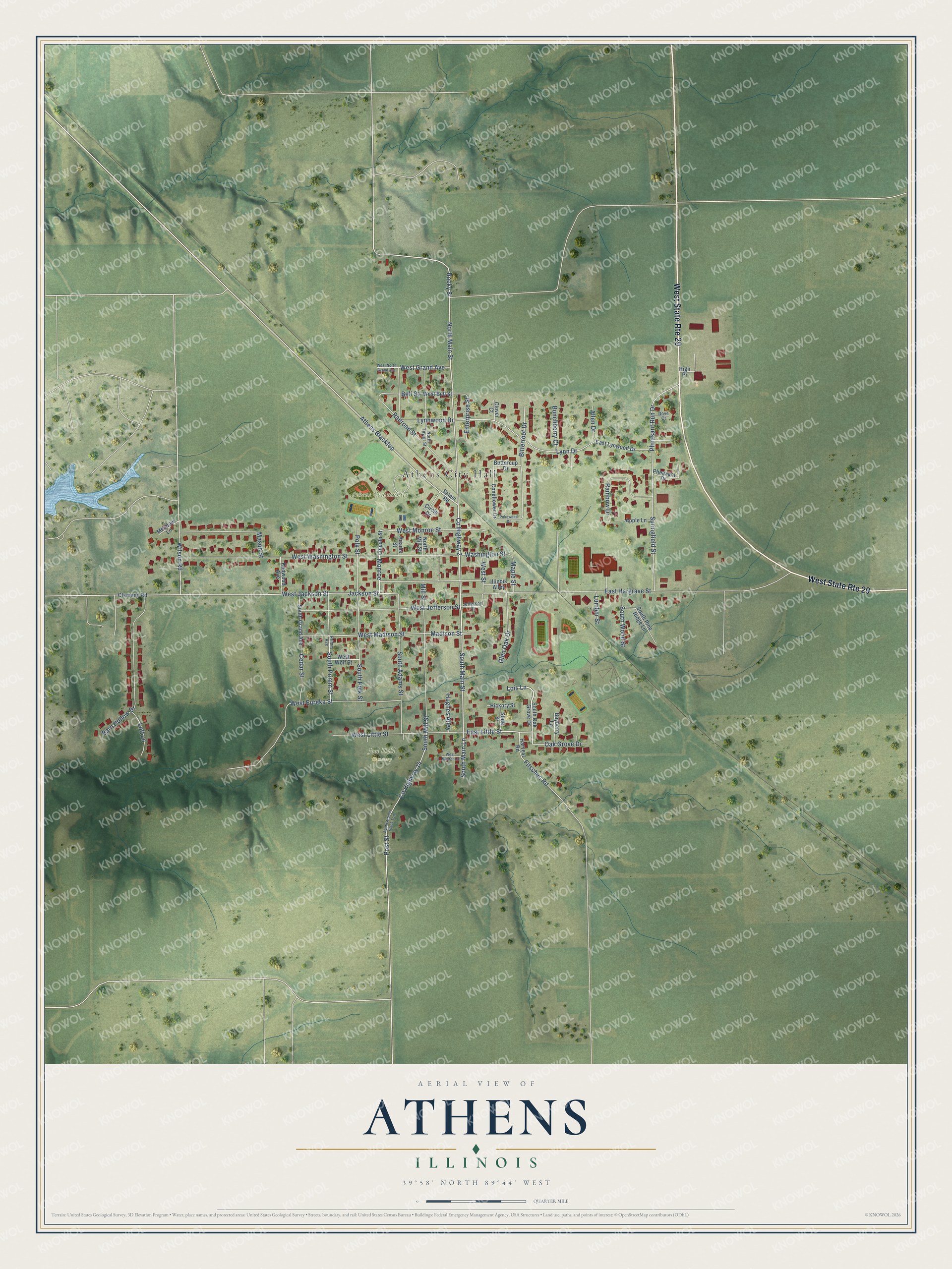
This beautifully detailed map of Athens, Illinois was created in 2026 using aerial imagery combined with modern topographical, census, street and landmark data. It’s a one-of-a-kind view of Athens that combines accurate data with a vintage aesthetic. The map shows every building in its true location, many of the roads carry their names, and the shaded topographic relief shows the shape of the land.
Explore an aerial view of Athens, Illinois
On the map you’ll find Athens City Hall, Athens Community Park, Joel Hall Cemetery, and Athens Blacktop, along with County Highway 14, County Highway 2, East Little Street, Lois Lane, Wilson Road, North Main Street, West Jackson Street, Clemens Road, and more. If you look closely you can even find your house accurately drawn in its correct location. Zoom in on the preview to look for yours.
Did you know this about Athens, Illinois?
From the Historical Marker Database: "Abraham Lincoln visited the town of Athens on numerous occasions in the 1830s and 1840s."
Take a closer look at the Athens map
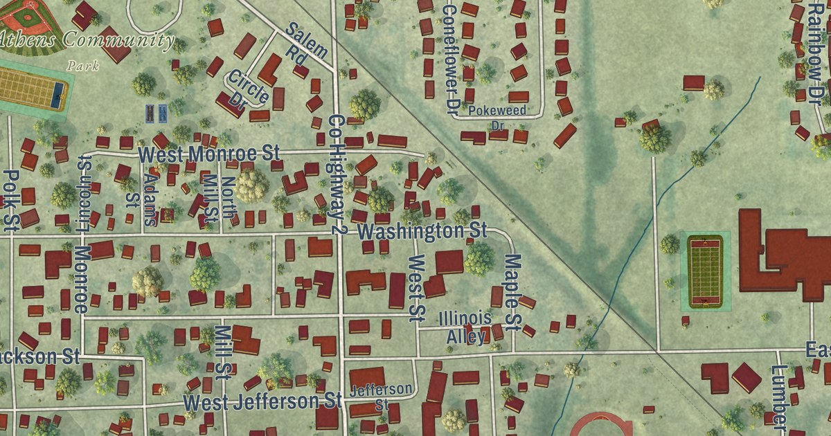
Street and place names on the Athens, Illinois map
These names are printed on the map of Athens, Illinois.
Places: Athens City Hall, Athens Community Park and Joel Hall Cemetery.
Streets and roads: West State Route 29, County Highway 14, County Highway 2, East Little Street, Lois Lane, North Main Street, Athens Blacktop, Wilson Road, West Jackson Street, West Monroe Street, Jackson Street, Monroe.
More street names, A to Z
Adams Street, Allen Drive, Apple Lane, Barn Hollow Drive, Bayberry Lane, Bell Street, Bitterroot Drive, Bunchberry Court, Buttercup Drive, Cedar Street, Circle Drive, Clemens Road, Clover Court, Coneflower Drive, Dove Court, East Hargrave Street, East Lynwood Drive, Enterprise Street, Fitschen Road, Glen Oak Drive, Harvest Road, Hickory Street, High Pr, Hughes Alley, Illinois Alley, Jefferson Street, Lincoln Street, Loft Lane, Lumber Street, Lynn Drive, Lynnwood Drive, Madison Street, Maple Street, Mason Street, Meadow Lane, Mill Street, North Mill Street, North Taylor Street, Oak Grove Drive, Pheasant Drive, Pheasant Run Drive, Pokeweed Drive, Polk Street, Post Street, Primm Avenue, Railroad Street, Rainbow Drive, Redwood Avenue, Rocky Street, Salem Road, South Adams Street, South Athens Black Top, South Grand Avenue, South Main Lane, South Main Street, South Mill Street, South Oak Grove Drive, South Pine Ridge Lane, South Polk Street, South Primm Street, South Wood Street, Springfield Street, State Street, Washington Street, West Bell Street, West Eureka Street, West Grand Avenue, West Jefferson Street, West Little Street, West Madison Street, West Mester Lane, West North Grand Avenue, West Street, West Washington Street, West Wolf Street.
See the Athens, Illinois map on a wall
The Athens map as an 18 x 24 inch print in a black frame.

This beautifully detailed map of Athens makes an attractive addition to your office, library, or den, and it can even be used to teach children the geography and history of the area. It also makes a great gift for anyone with Athens roots. When you’re done exploring, click here to get your copy of the Athens map.