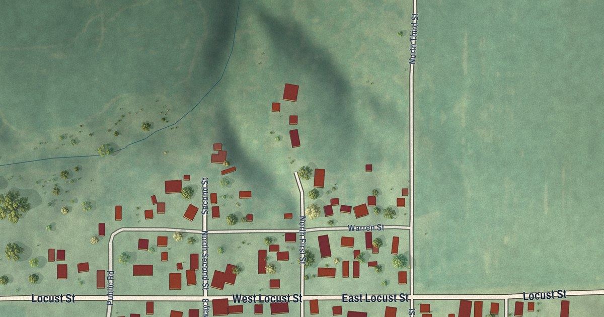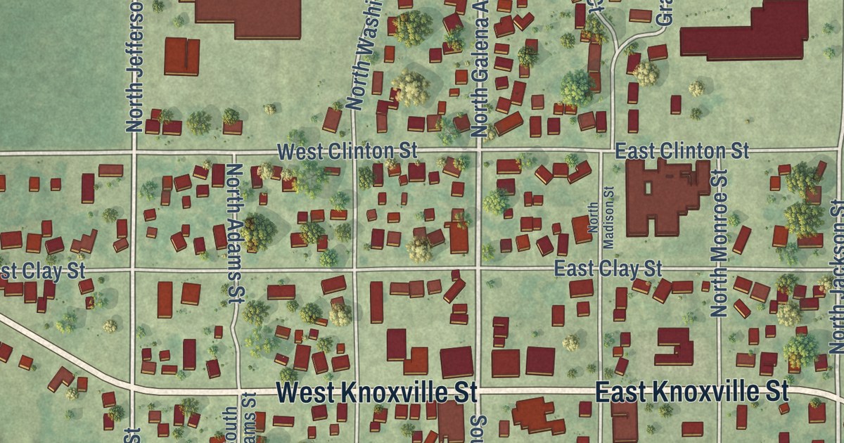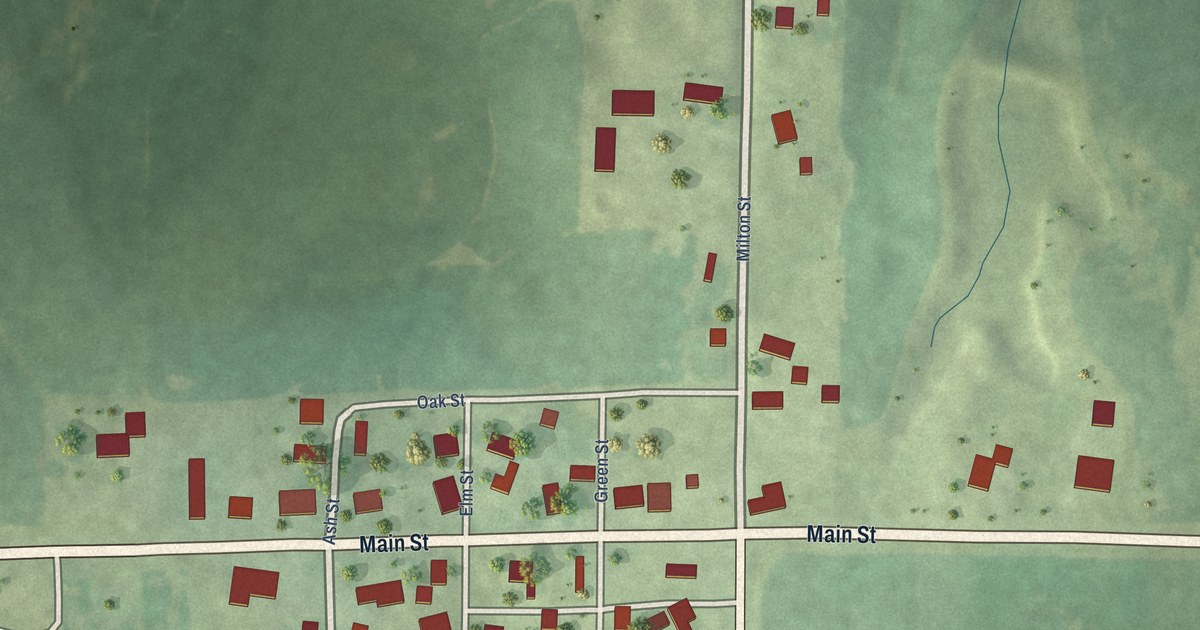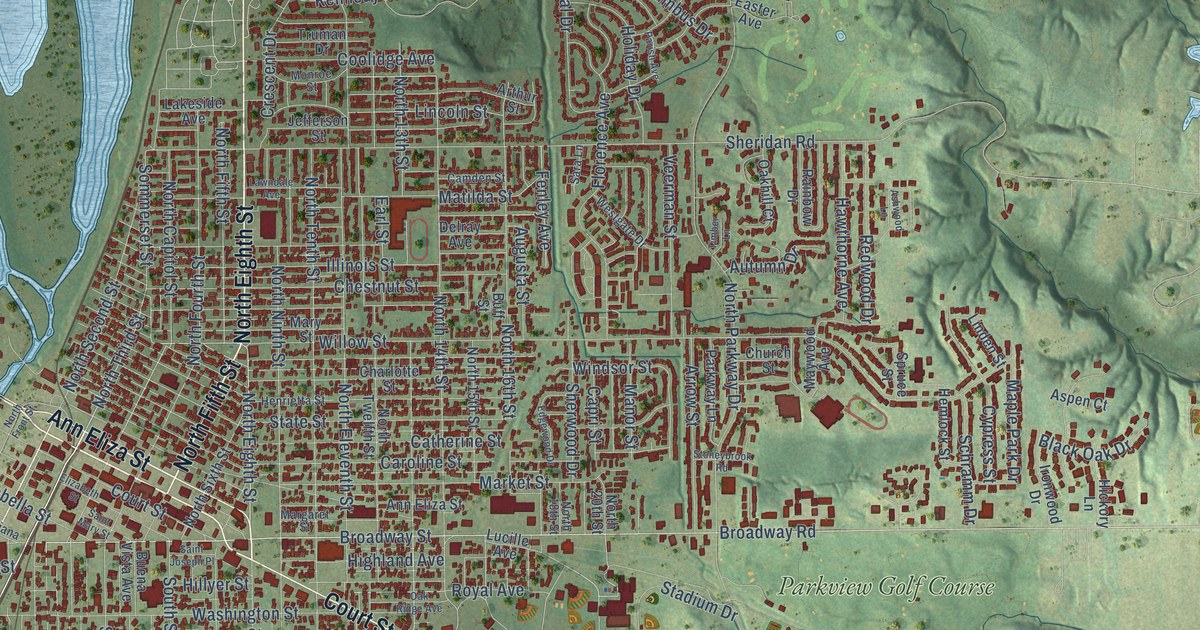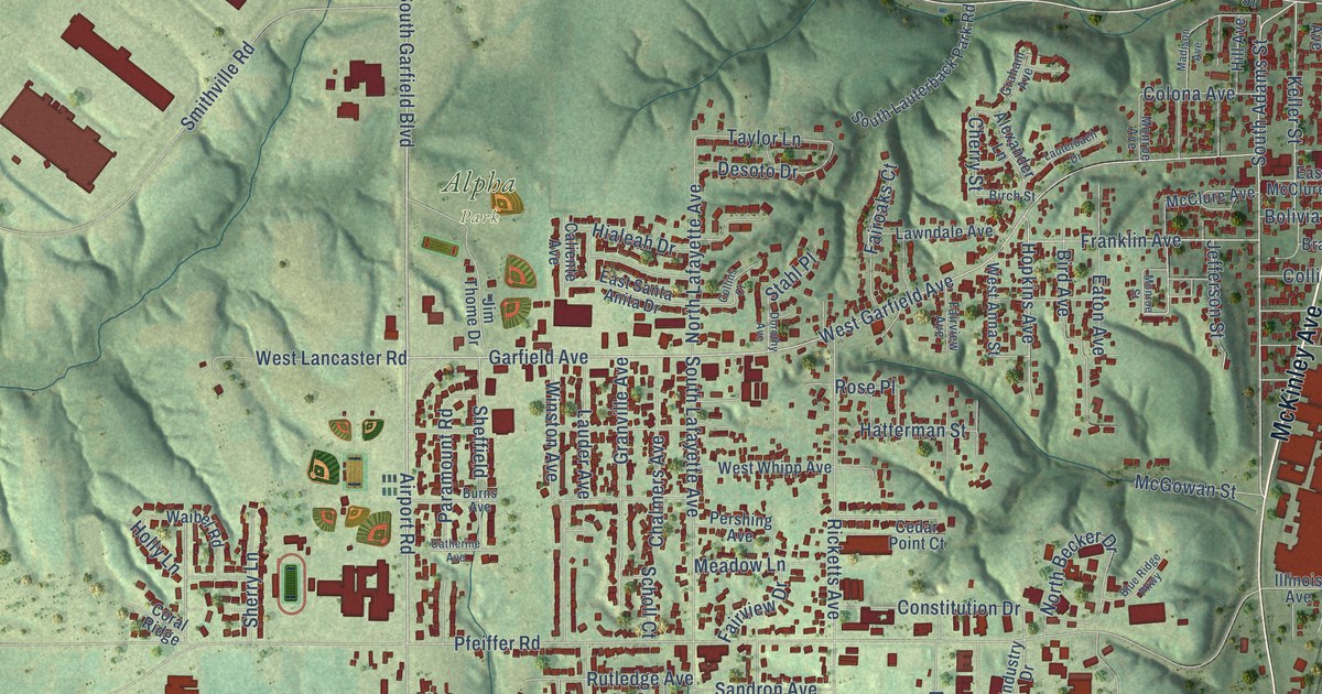
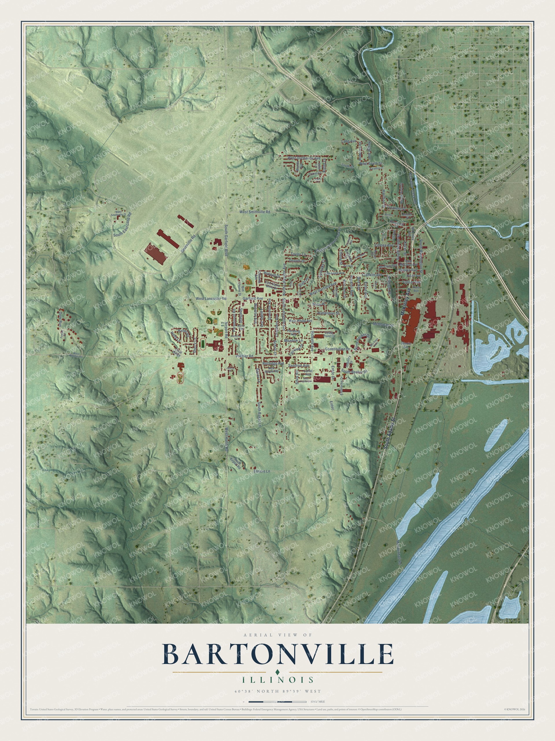
This beautifully detailed map of Bartonville, Illinois was created in 2026 using aerial imagery combined with modern topographical, census, street and landmark data. It’s a one-of-a-kind view of Bartonville that combines accurate data with a vintage aesthetic. The map shows every building in its true location, many of the roads carry their names, and the shaded topographic relief shows the shape of the land.
Explore an aerial view of Bartonville, Illinois
On the map you’ll find Alpha Park, along with South Adams Street, McKinley Avenue, West Smithville Road, South Garfield Boulevard, Harrison Street, South Washington Street, Keller Street, West Garfield Avenue, Garfield Avenue, Cherry Street, Pfeiffer Road, and more. If you look closely you can even find your house accurately drawn in its correct location. Zoom in on the preview to look for yours.
Did you know this piece of Bartonville, Illinois history?
The Peoria State Hospital closed in 1973, while the E.D. Edwards Power Plant opened in 1960 and retired at the end of 2022.
Take a closer look at the Bartonville map
Street and place names on the Bartonville, Illinois map
These names are printed on the map of Bartonville, Illinois.
Places: Alpha Park.
Streets and roads: South Adams Street, McKinley Avenue, West Smithville Road, South Garfield Boulevard, Harrison Street, South Washington Street, Keller Street, West Garfield Avenue, Garfield Avenue, Cherry Street, Pfeiffer Road, Airport Road.
More street names, A to Z
Alexander Lane, Amsler Street, Baker Lane, Birch Street, Bird Avenue, Blue Ridge Parkway, Bolivia Avenue, Brazil Avenue, Buena Vista Street, Burns Avenue, Caliente Avenue, Catherine Avenue, Cedar Point Court, Chalmers Avenue, Collier Avenue, Collins Court, Colona Avenue, Constitution Drive, Coral Ridge, Correl Avenue, Correl Court, Deer Run, Desoto Drive, Dorothy Avenue, East McClure Avenue, East Santa Anita Drive, Eaton Avenue, Elmore Lane, Entec, Entec Drive, Enterprise Drive, Fairoaks Court, Fairview Avenue, Fairview Drive, Foxtail Circle, Franklin Avenue, Graham Avenue, Granville Avenue, Hatterman Street, Hedge Avenue, Hialeah Drive, Hill Avenue, Holly Lane, Hopkins Avenue, Illinois Avenue, Industry Drive, Jefferson Street, Jim Thome Drive, Julie Lane, Juliette Drive, Karen Court, Kathy Lane, Kickapoo Creek Road, Lang Avenue, Lauder Avenue, Lauterbach Drive, Lawndale Avenue, Madison Avenue, McClure Avenue, McGowan Street, McMullen Road, Meadow Lane, Mendenhall Road, Monroe Avenue, Monroe Street, New Salem Road, North Becker Drive, North Lafayette Avenue, Paradise Court, Paramount Road, Pershing Avenue, Peru Avenue, Ricketts Avenue, Roosevelt Street, Rose Place, Rutledge Avenue, Sandron Avenue, Scholl Court, Sheffield, Sherry Lane, Silvis Road, Smithville Road, South Airport Road, South Baker Lane, South Becker Drive, South East Loop Road, South Lafayette Avenue, South Lauterback Park Road, South Street, Stahl Place, Taylor Lane, Treasure Street, Waibel Road, Wanda Avenue, West Anna Street, West Crystal Avenue, West Ducharme Avenue, West Hollis Road, West Lancaster Road, West Pfeiffer Road, West Smithville Court, West South Street, West Whipp Avenue, Winston Avenue, Winters Court.
See the Bartonville, Illinois map on a wall
The Bartonville map as an 18 x 24 inch print in a black frame.

This beautifully detailed map of Bartonville makes an attractive addition to your office, library, or den, and it can even be used to teach children the geography and history of the area. It also makes a great gift for anyone who grew up in Bartonville or moved away. When you’re done exploring, click here to get your copy of the Bartonville map.