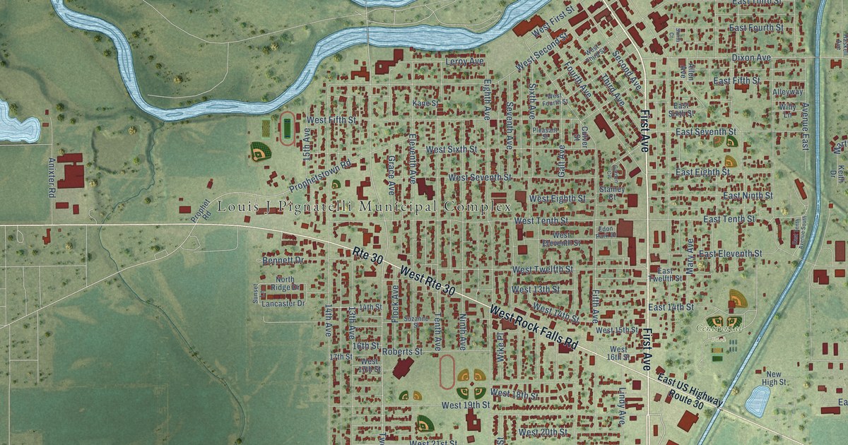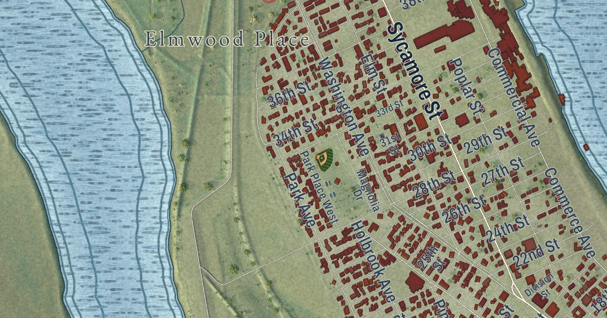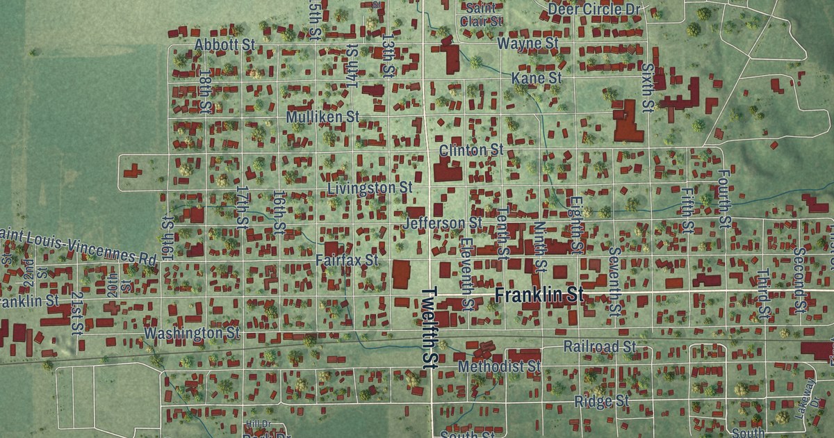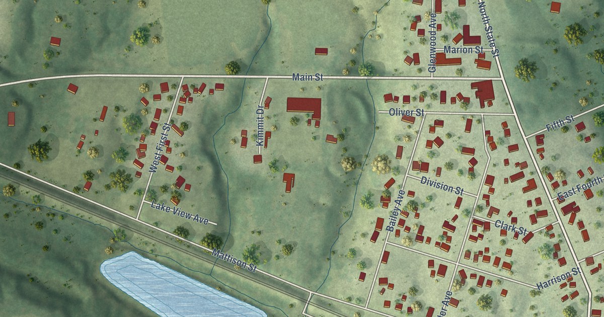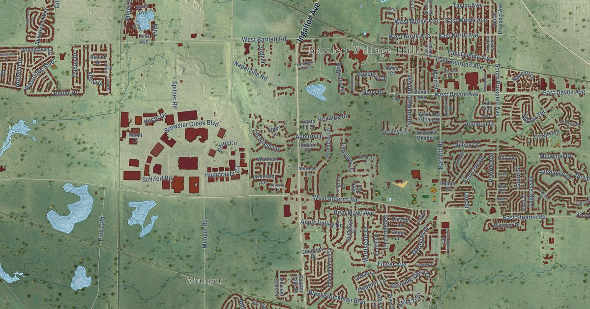
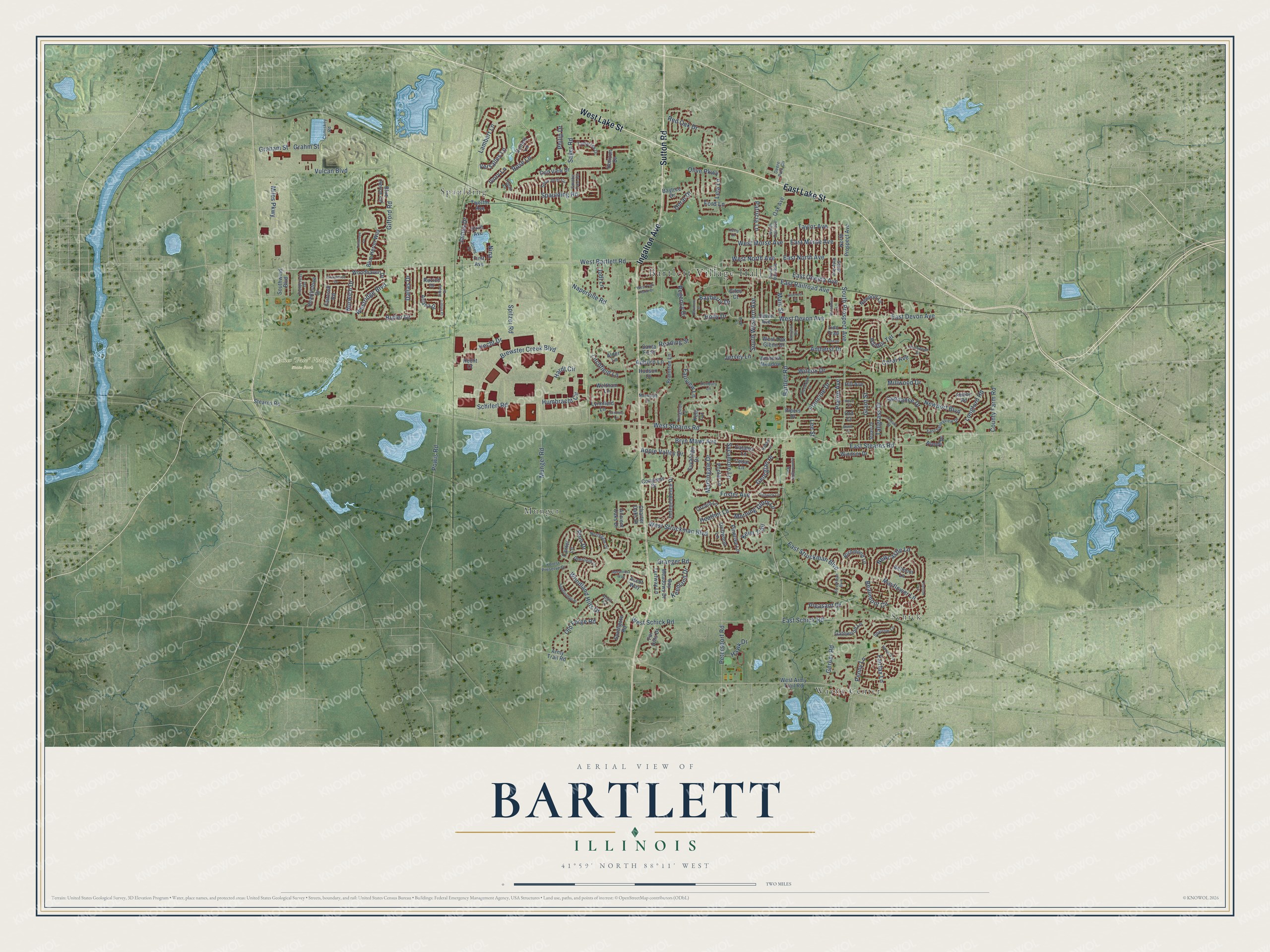
This beautifully detailed map of Bartlett, Illinois was created in 2026 using aerial imagery combined with modern topographical, census, street and landmark data. It’s a one-of-a-kind view of Bartlett that combines accurate data with a vintage aesthetic. The map shows every building in its true location, many of the roads carry their names, and the shaded topographic relief shows the shape of the land.
Explore an aerial view of Bartlett, Illinois
On the map you’ll find Bartlett Village Hall, James “Pate” Philip State Park, Munger, Schick, Spaulding, and Wayne Center, along with East Lake Street, West Lake Street, Ingalton Avenue, Sutton Road, Sayer Road, West Devon Avenue, and more. If you look closely you can even find your house accurately drawn in its correct location. Zoom in on the preview to look for yours.
Did you know this about Bartlett, Illinois?
From the Village of Bartlett: "The Bartletts and other area residents contributed toward the building of the depot with the Bartletts naming the community after themselves."
Take a closer look at the Bartlett map
Street and place names on the Bartlett, Illinois map
These names are printed on the map of Bartlett, Illinois.
Places: Bartlett Village Hall, James "Pate" Philip State Park, Munger, Schick, Spaulding and Wayne Center.
Streets and roads: East Lake Street, West Lake Street, Ingalton Avenue, Sutton Road, Sayer Road, West Devon Avenue, South Prospect Avenue, East Devon Avenue, East North Avenue, West North Avenue, Naperville Road, Bayberry Drive.
More street names, A to Z
Abbey Road, Alder Lane, Amherst Drive, Amherst Meadow, Ancient Oaks Drive, Anvil Court, Appaloosa Way, Apple Valley Drive, Ariana Drive, Army Trail Road, Ascot Way, Auburn Lane, Balsam Lane, Bartlett Road, Bay Meadows Drive, Baytree Drive, Beaumont Circle, Belmont Lane, Blue Heron Circle, Blue Heron Way, Braintree Lane, Brewster Creek Boulevard, Broadmoor Lane, Bryn Mawr Avenue, Butler Drive, Canter Lane, Catalpa Lane, Cedar Lane, Charter Oaks Drive, Comiskey Road, Congress Drive, Coral Avenue, County Farm Road, Cuyahoga Drive, Dallas Drive, Deere Park Circle, Deerfield Lane, Devon Avenue, Doral Drive, Drew Court, Driftwood Lane, Duxbury Lane, East Morse Avenue, East Oneida Avenue, East Railroad Avenue, East Schick Road, East Stearns Road, East Struckman Boulevard, East Valleyview Drive, Eastwick Lane, Ewell Court, Faircroft Road, Fairfax Lane, Fairview Lane, Far Hills Drive, Fieldcrest Drive, First Avenue, Ford Lane, Forest Preserve Drive, Foster Avenue, Foxboro Lane, Francine Drive, Gatewood Lane, Georgian Place, Gerber Road, Gifford Road, Giles Court, Golfers Lane, Golf View Drive, Graham Street, Grahm Street, Granger Road, Grant Street, Harbor Terrace, Hardt Circle, Harvard Lane, Hawk Drive, Hearthstone Drive, Heather Lane, Hecht Court, Hecht Drive, Hill Avenue, Hillcrest Lane, Holly Drive, Hood Court, Horizon Drive, Hudson Court, Humbracht Circle, Hummingbird Way, Independence Drive, Ivory Lane, James Drive, Jervey Lane, Jodi Lane, John Drive, Jones Drive, Kathy Lane, Keenland Drive, Keim Trail, Kent Circle, Kingston Lane, Lambert Lane, Lee Street, Lela Lane, Lido Trail, Lillian Place, Lincoln Drive, Litchfield Lane, Longford Road, Lynnfield Lane, Main Street, Martingale Drive, Mayflower Lane, Miles Parkway, Millwood Drive, Morning Glory Lane, Munger Road, Newcastle Lane, Newport Boulevard, Newport Lane, Nicole Drive, Nina, Northgate Drive, North Oak Avenue, North Prospect Avenue, Norwich Drive, Norwood Lane, Oak Avenue, Oakmont Drive, Old Forge Road, Olive Parkway, Orchid Lane, Ord Court, Patricia Lane, Penny Lane, Petersdorf Road, Philip Drive, Pinetree Lane, Pipers Drive, Pleasant Drive, Polo Drive, Poplar Lane, Powis Road, Prairie Avenue, Primrose Lane, Providence Drive, Reading Street, Red Oak Drive, Redwood Lane, Regency Drive, Richmond Lane, Rose Lane, Ruzich Drive, Saddleridge Place, Santa Fe Street, Schiferl Road, Shorewood Drive, Silbury Drive, Sixth Avenue, Smoke Tree Circle, Snow Drift Circle, Southgate Road, South Hale Avenue, South Oak Avenue, South Western Avenue, Southwind Boulevard, Sparrow Lane, Spaulding Road, Spitzer Road, Stearns Road, Struckman Boulevard, Stuart Drive, Sundance Drive, Sycamore Lane, Tallgrass Drive, Tamarack Drive, Taylor Avenue, Tennyson Road, Topaz Lane, Trenton Lane, Turfway Lane, Twelfth Avenue, Versalles Lane, Vulcan Boulevard, Waltham Lane, West Army Trail Road, West Bartlett Road, West Morse Avenue, West Oak Glenn Drive, West Park Place Drive, Westridge Boulevard, West Schick Road, West Stearns Road, West Struckman Boulevard, Wilcox Drive, Windsor Drive, Woodhaven Drive, Woodland Hills Drive.
See the Bartlett, Illinois map on a wall
The Bartlett map as an 18 x 24 inch print in a black frame.

This beautifully detailed map of Bartlett makes an attractive addition to your office, library, or den, and it can even be used to teach children the geography and history of the area. It also makes a great gift for anyone with Bartlett roots. When you’re done exploring, click here to get your copy of the Bartlett map.