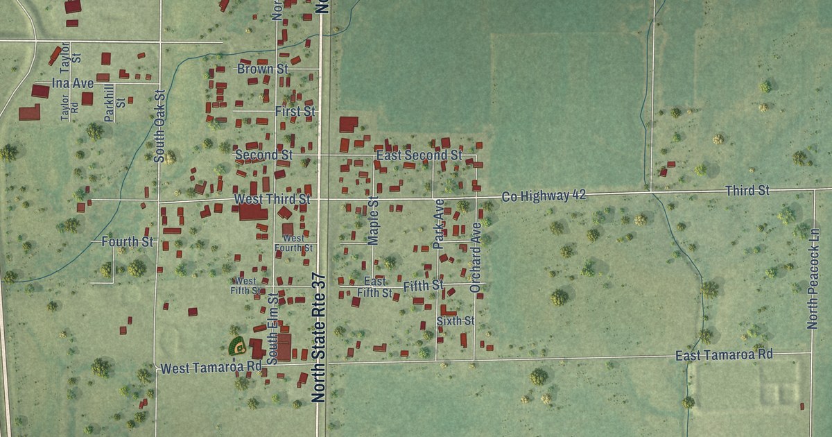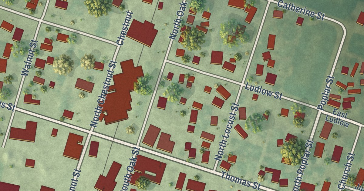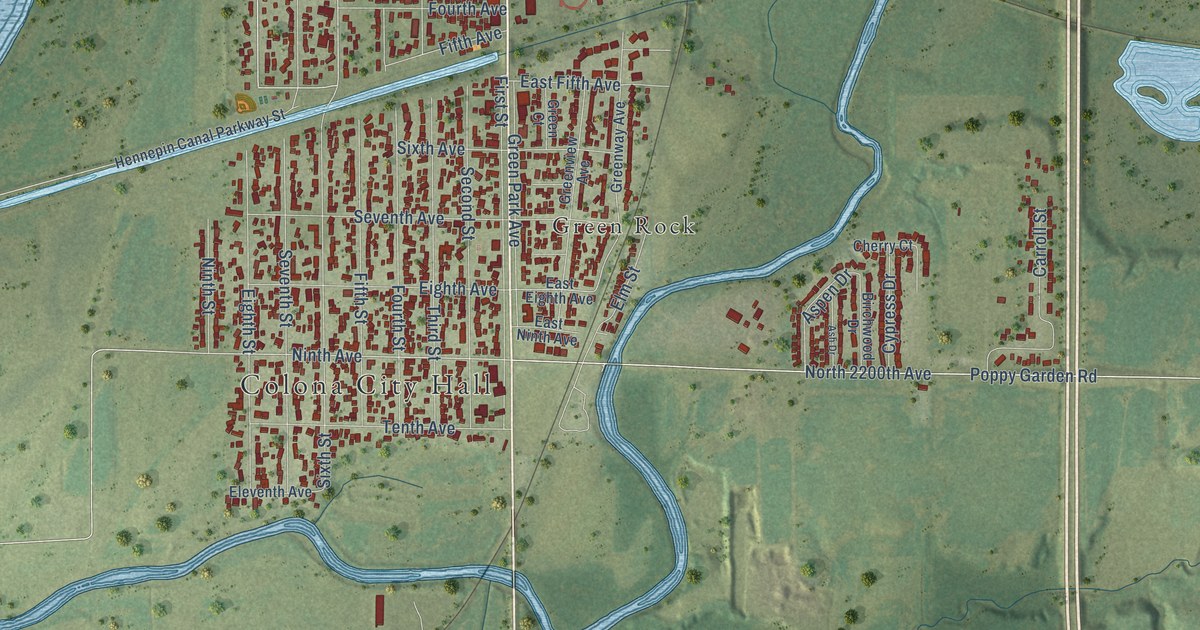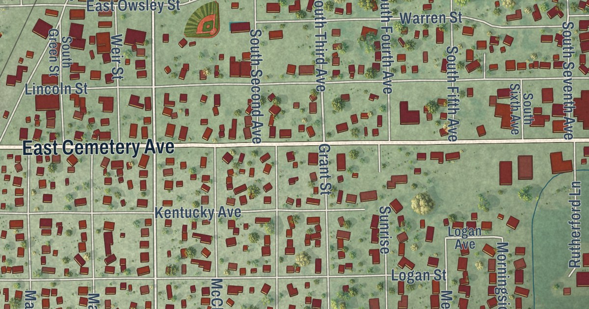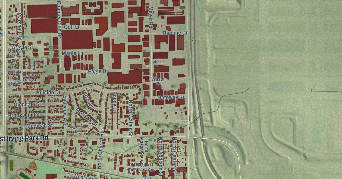
This beautifully detailed map of Bensenville, Illinois was created in 2026 using aerial imagery combined with modern topographical, census, street and landmark data. It’s a one-of-a-kind view of Bensenville that combines accurate data with a vintage aesthetic. The map shows every building in its true location, many of the roads carry their names, and the shaded topographic relief shows the shape of the land.
Explore an aerial view of Bensenville, Illinois
On the map you’ll find Bensenville Village Hall, Churchville, and White Pines Golf Club, along with West Irving Park Road, South York Road, County Line Road, Mount Prospect Road, East Grand Avenue, York Road, Jefferson Street, West Grand Avenue, North York Road, and more. If you look closely you can even find your house accurately drawn in its correct location. Zoom in on the preview to look for yours.
Did you know this piece of Bensenville, Illinois history?
From the History of Du Page County: "The present site of Bensenville, located in Sections 13, 14 and 23, was purchased by Dedrich Struckmann, T. R. Dobbins and Col. Roselle M. Hough, of John Lemarche, in 1872; shortly after, Hough's interest (onefourth) was purchased by Frederick Hener and Henry Korthauer. The purchase was subdivided in 1874, two years after the Chicago & Pacific Railroad was built, and a post office obtained, Henry A. Glos being appointed Postmaster."
Take a closer look at the Bensenville map
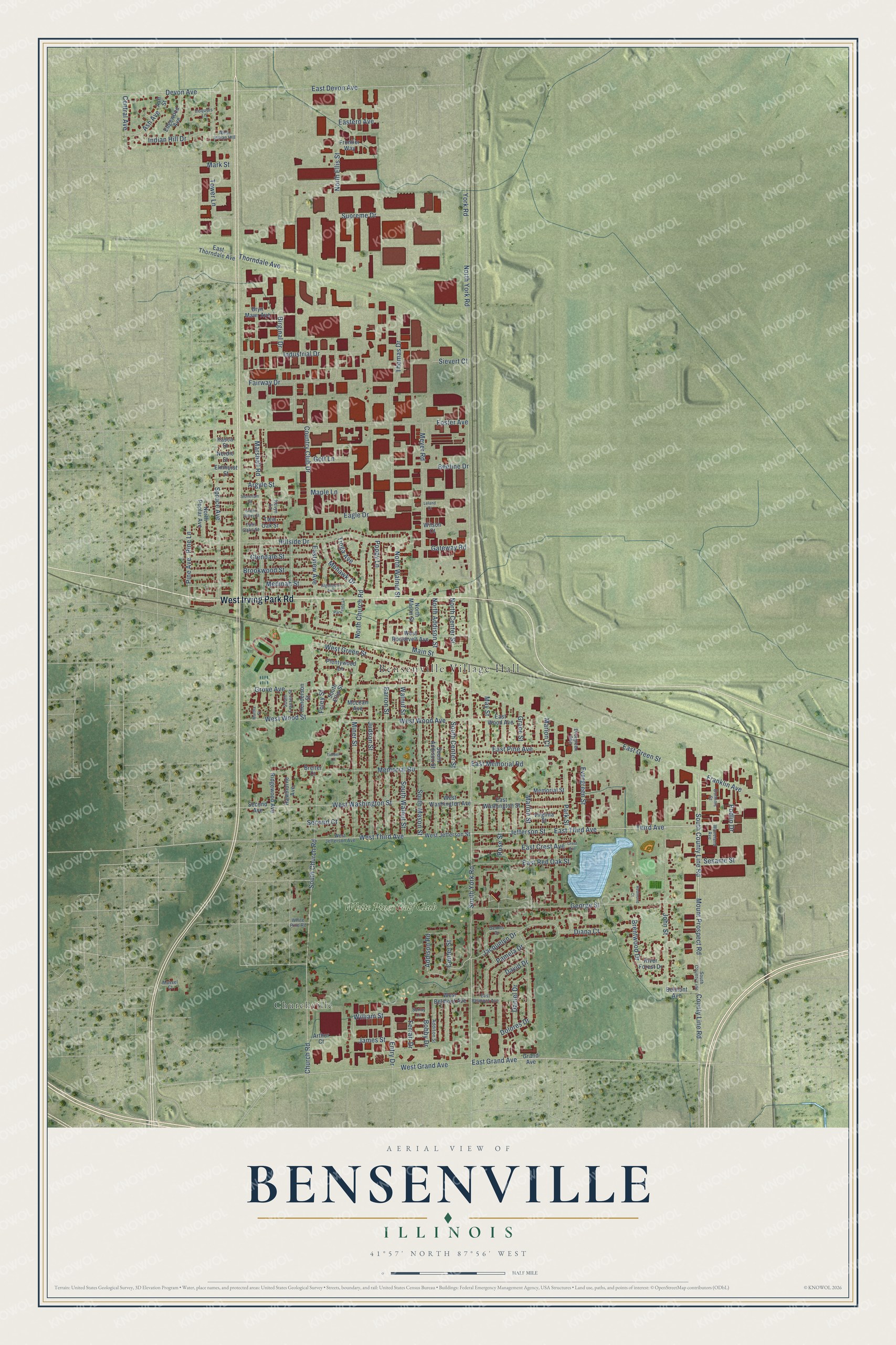
Street and place names on the Bensenville, Illinois map
These names are printed on the map of Bensenville, Illinois.
Places: Bensenville Village Hall, Churchville and White Pines Golf Club.
Streets and roads: West Irving Park Road, South York Road, County Line Road, Mount Prospect Road, East Grand Avenue, York Road, Jefferson Street, West Grand Avenue, North York Road, West Third Avenue, East Third Avenue, East Green Street.
More street names, A to Z
Addison Road, Addison Street, Algonquin Avenue, Argyle Street, Arthur Court, Ash Avenue, Ash Street, Barron Street, Beeline Drive, Belmont Avenue, Birginal Drive, Bobby Drive, Breiter Court, Brentwood Drive, Brookwood Street, Bryn Mawr Avenue, Center Street, Central Avenue, Church Road, Country Club Drive, Crest Avenue, Daniel Drive, David Drive, Dennis Drive, Devon Avenue, Diana Court, Dolores Drive, Dominic Court, Eagle Drive, East Belmont Avenue, East Crest Avenue, East Devon Avenue, Eastern Avenue, East Memorial Road, East Pine Avenue, East Red Oak Street, East Thorndale Avenue, Eastview Avenue, East Washington Street, East Wood Avenue, Edgewood Avenue, Elmhurst Street, Entry Drive, Evergreen Avenue, Evergreen Street, Fairway Drive, Ferrari Drive, Foley Street, Foster Avenue, Franklin Avenue, Frontier Way, Gateway Road, George Street, Glendale Street, Golf Lane, Grace Street, Grand Avenue, Green Valley Street, Grove Avenue, Hawthorne Avenue, Henderson Street, Hillside Drive, Indian Hill Drive, Industrial Drive, Iroquois Lane, Itasca Street, Jacquelyn Drive, James Street, John Street, Judson Street, Kevyn Lane, Leland Court, Main Street, Maple Lane, Marion Court, Marion Street, Mark Street, Marshall Road, Martha Street, Massel Court, May Street, McLean Avenue, Medinah Street, Memorial Road, Memorial Street, Meyer Road, Miner Street, Mohawk Drive, Nordic Street, North Addison Street, North Center Street, North Church Road, North Ellis Street, North Mason Street, North Poplar Avenue, North Walnut Street, Pamela Drive, Parkside Lane, Park Street, Pine Avenue, Pine Lane, Plentywood Lane, Podlin Drive, Poppy Lane, Redmond Court, Ridgewood Avenue, River Forest Drive, Rose Street, Second Avenue, Second Court, Sesame Street, Sievert Court, Sonny Lane, South Addison Street, South Center Street, South Church Road, South County Line, South County Line Road, South Ellis Street, South Franzen Street, South Mason Street, South Walnut Street, Spruce Avenue, Stoneham Street, Supreme Drive, Third Avenue, Thomas Drive, Thorndale Avenue, Timber Lane, Tioga Avenue, Tower Lane, Twin Oaks Street, Twin Oak Street, Virginia Street, Walnut Street, Waveland Avenue, West Belmont Avenue, West Green Street, West Indian Hill, West Jefferson Avenue, West Jefferson Street, West Roosevelt Avenue, West Washington Avenue, West Washington Street, West Wood Avenue, West Wood Street, White Pine Road, William Street, Wilson Court.
See the Bensenville, Illinois map on a wall
The Bensenville map as an 18 x 24 inch print in a black frame.

This beautifully detailed map of Bensenville makes an attractive addition to your office, library, or den, and it can even be used to teach children the geography and history of the area. It also makes a great gift for anyone who grew up in Bensenville or moved away. When you’re done exploring, click here to get your copy of the Bensenville map.