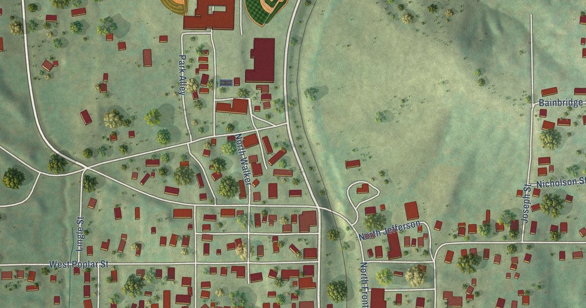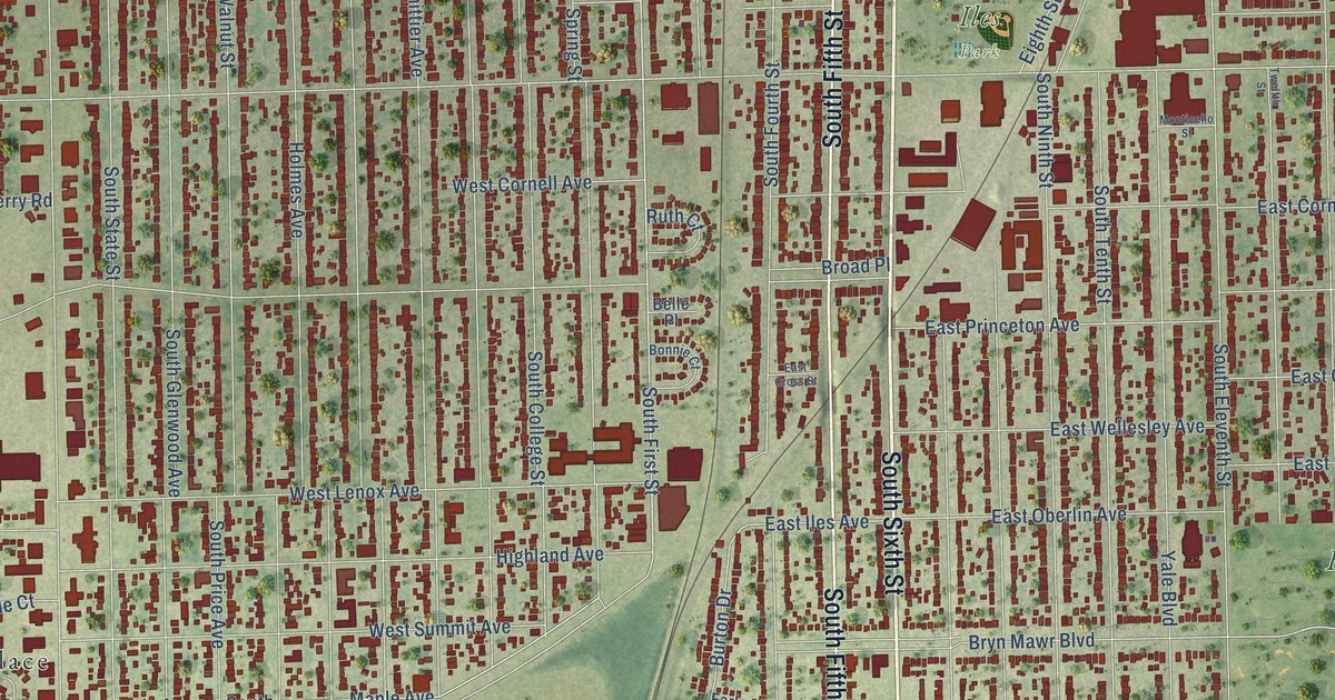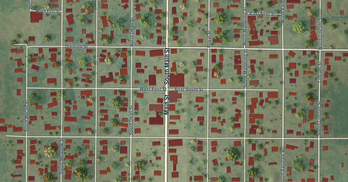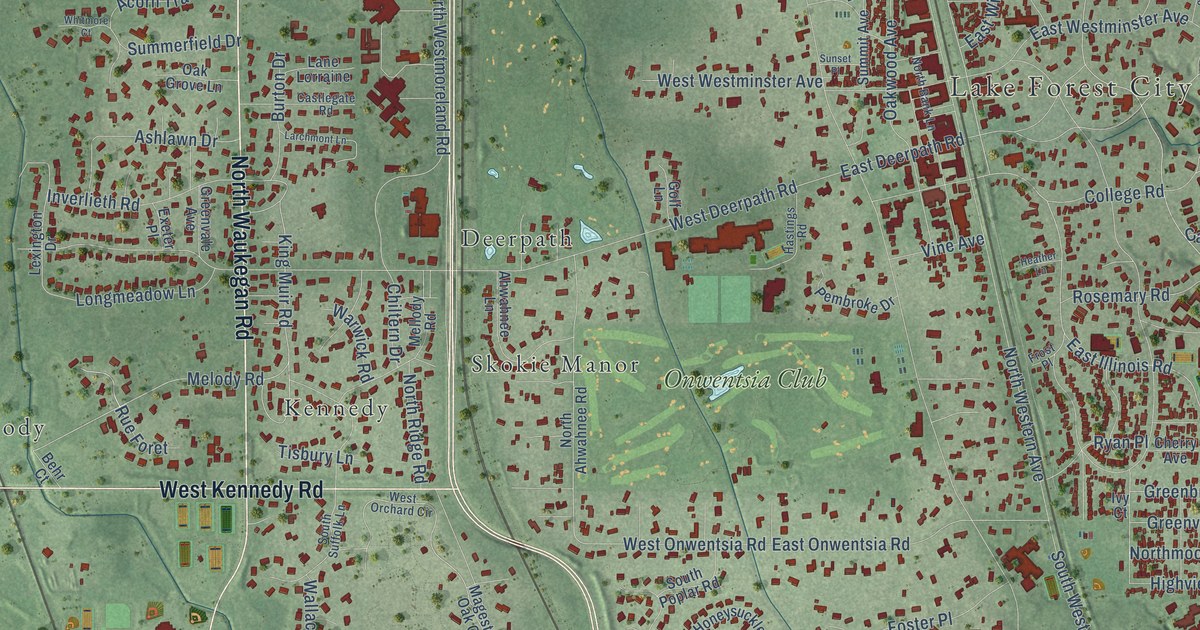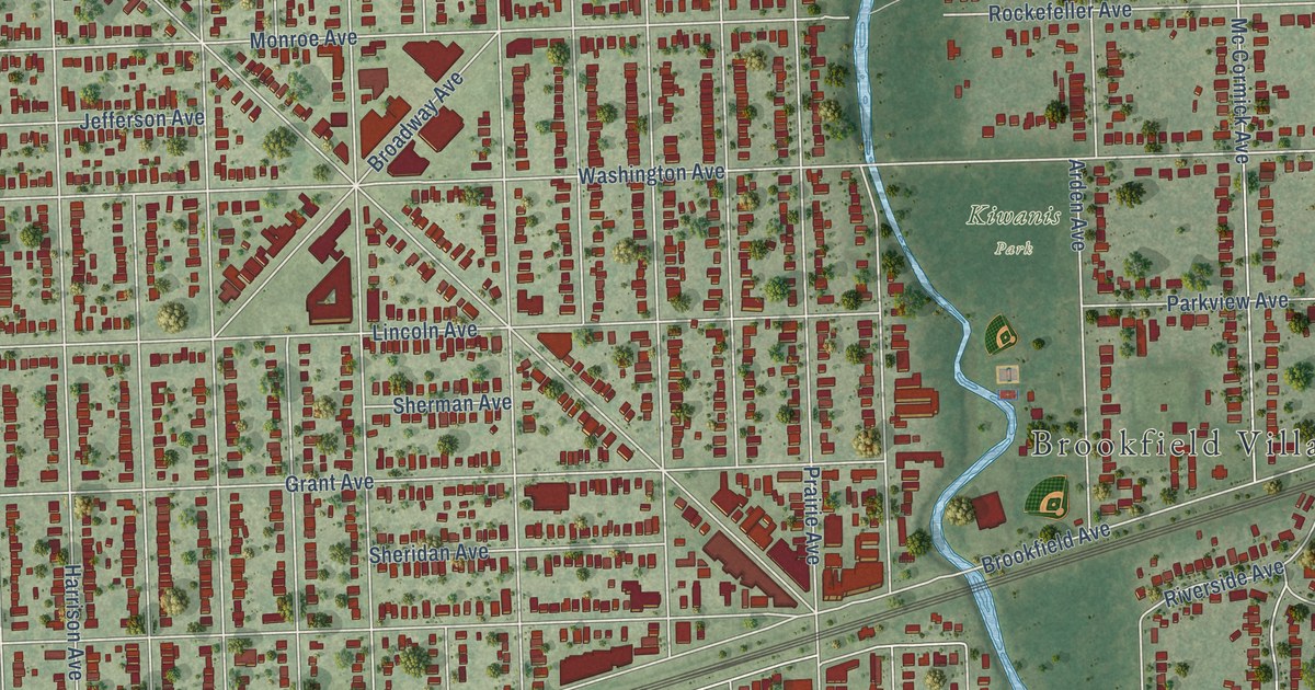
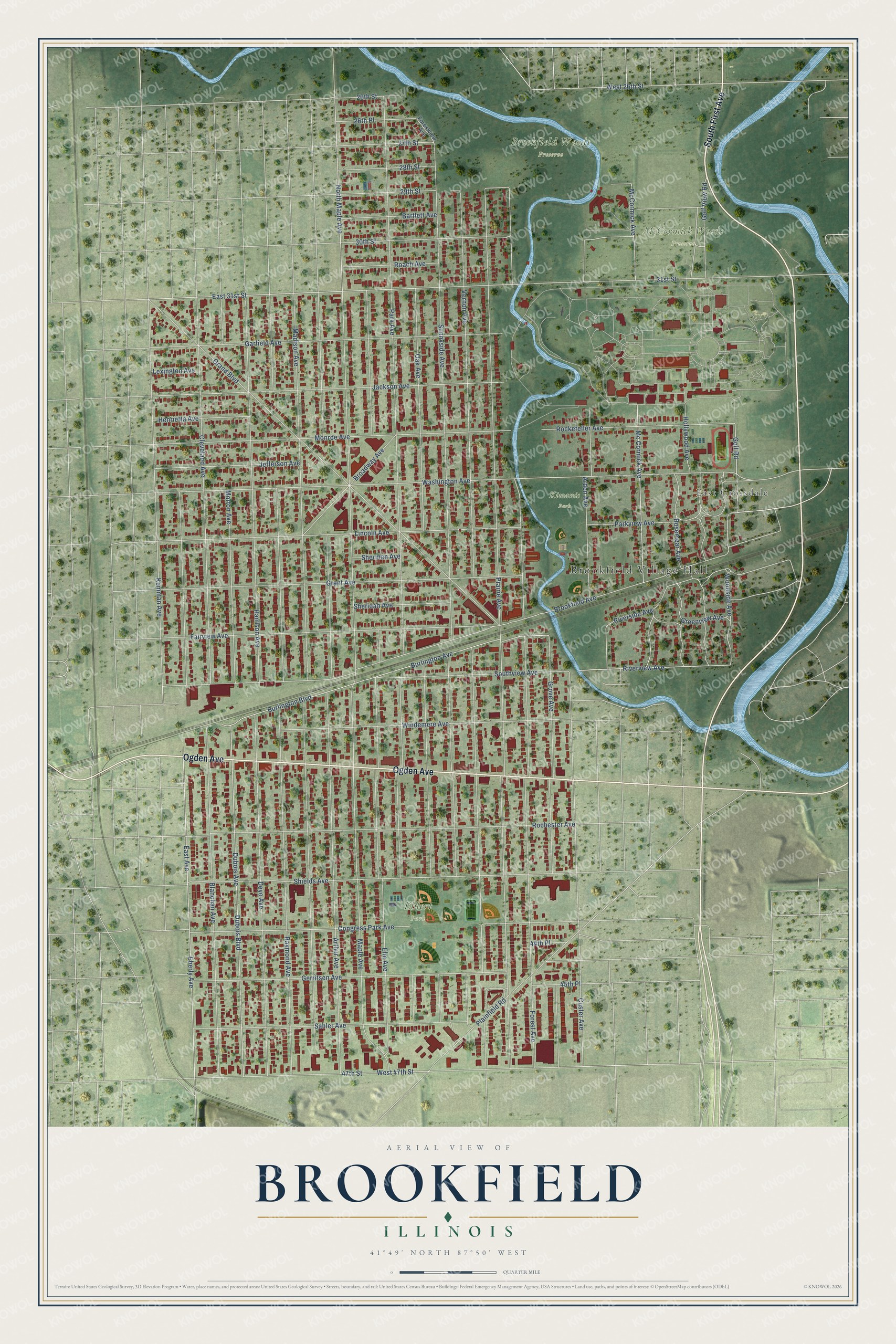
This beautifully detailed map of Brookfield, Illinois was created in 2026 using aerial imagery combined with modern topographical, census, street and landmark data. It’s a one-of-a-kind view of Brookfield that combines accurate data with a vintage aesthetic. The map shows every building in its true location, many of the roads carry their names, and the shaded topographic relief shows the shape of the land.
Explore an aerial view of Brookfield, Illinois
On the map you’ll find Brookfield Village Hall, East Grossdale, Brookfield Woods Preserve, Ehlert Park, Kiwanis Park, and McCormick Woods Preserve, along with South First Avenue, Ogden Avenue, Golf Road, Parkview Avenue, Woodside Avenue, East Avenue, and more. If you look closely you can even find your house accurately drawn in its correct location. Zoom in on the preview to look for yours.
Did you know this piece of Brookfield, Illinois history?
From the Cook County Hazard Mitigation Plan: "The Village of Brookfield was originally settled after the Chicago, Burlington and Quincy Railroad ran a line through the area in 1864."
Take a closer look at the Brookfield map
Street and place names on the Brookfield, Illinois map
These names are printed on the map of Brookfield, Illinois.
Places: Brookfield Village Hall, East Grossdale, Brookfield Woods Preserve, Ehlert Park, Kiwanis Park and McCormick Woods Preserve.
Streets and roads: South First Avenue, Ogden Avenue, Golf Road, Parkview Avenue, Woodside Avenue, East Avenue, Riverview Avenue, Southview Avenue, 47th Street, Kemman Avenue, 27th Street, Rosemear Avenue.
More street names, A to Z
26th Place, 26th Street, 28th Street, 29th Street, 30th Street, 31st Street, 44th Place, 45th Place, Arden Avenue, Arthur Avenue, Bartlett Avenue, Blanchan Avenue, Broadway Avenue, Brookfield Avenue, Burlington Avenue, Burlington Boulevard, Cleveland Avenue, Congress Park Avenue, Custer Avenue, Deyo Avenue, Dubois Avenue, Dubois Boulevard, East 31st Street, Eberly Avenue, Elm Avenue, Fairview Avenue, Forest Avenue, Forestview Avenue, Garfield Avenue, Gerritsen Avenue, Golf View Road, Grand Boulevard, Grant Avenue, Greenview Avenue, Grove Avenue, Harrison Avenue, Henrietta Avenue, Hollywood Avenue, Jackson Avenue, Jefferson Avenue, Lexington Avenue, Lincoln Avenue, Madison Avenue, Maple Avenue, Mc Cormick Avenue, McCormick Avenue, Monroe Avenue, Morton Avenue, North Maple Avenue, Oak Avenue, Park Avenue, Plainfield Road, Prairie Avenue, Raymond Avenue, Riverside Avenue, Roach Avenue, Rochester Avenue, Rockefeller Avenue, Sahler Avenue, Sheridan Avenue, Sherman Avenue, Shields Avenue, Sunnyside Avenue, Vernon Avenue, Washington Avenue, West 26th Street, West 47th Street, Windemere Avenue.
See the Brookfield, Illinois map on a wall
The Brookfield map as an 18 x 24 inch print in a black frame.

This beautifully detailed map of Brookfield makes an attractive addition to your office, library, or den, and it can even be used to teach children the geography and history of the area. It also makes a great gift for anyone with Brookfield roots. When you’re done exploring, click here to get your copy of the Brookfield map.