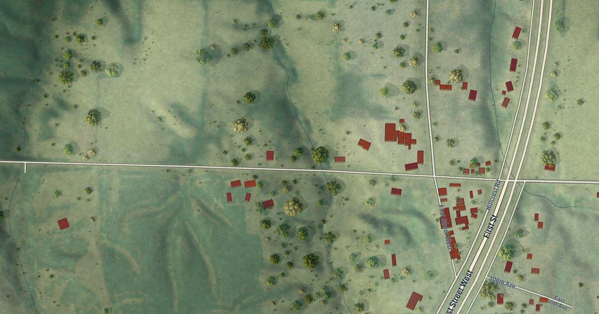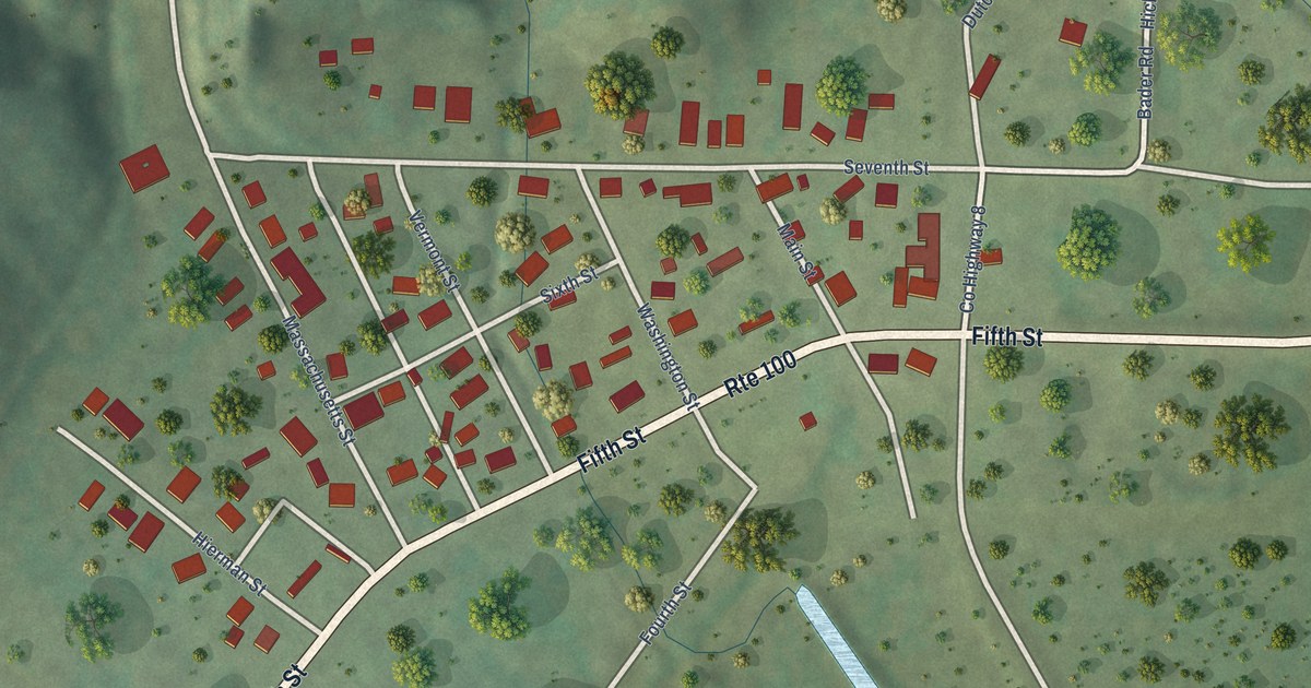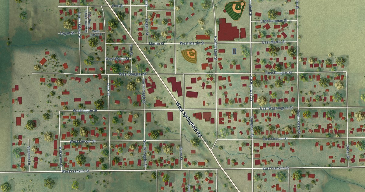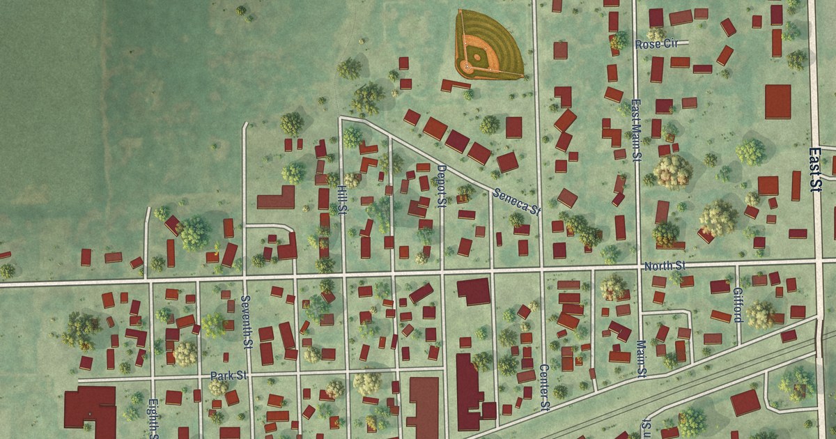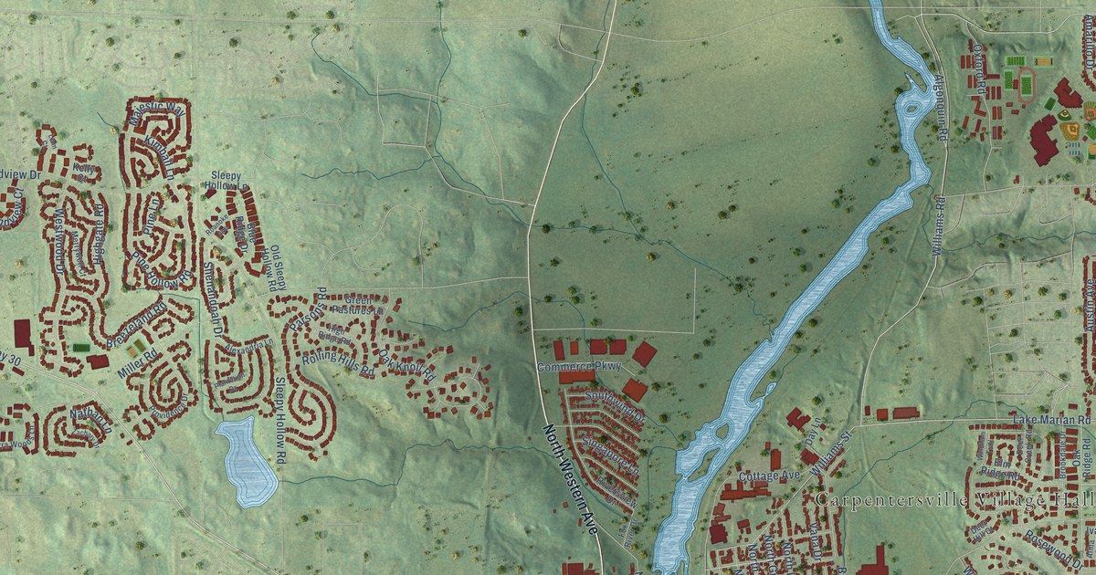
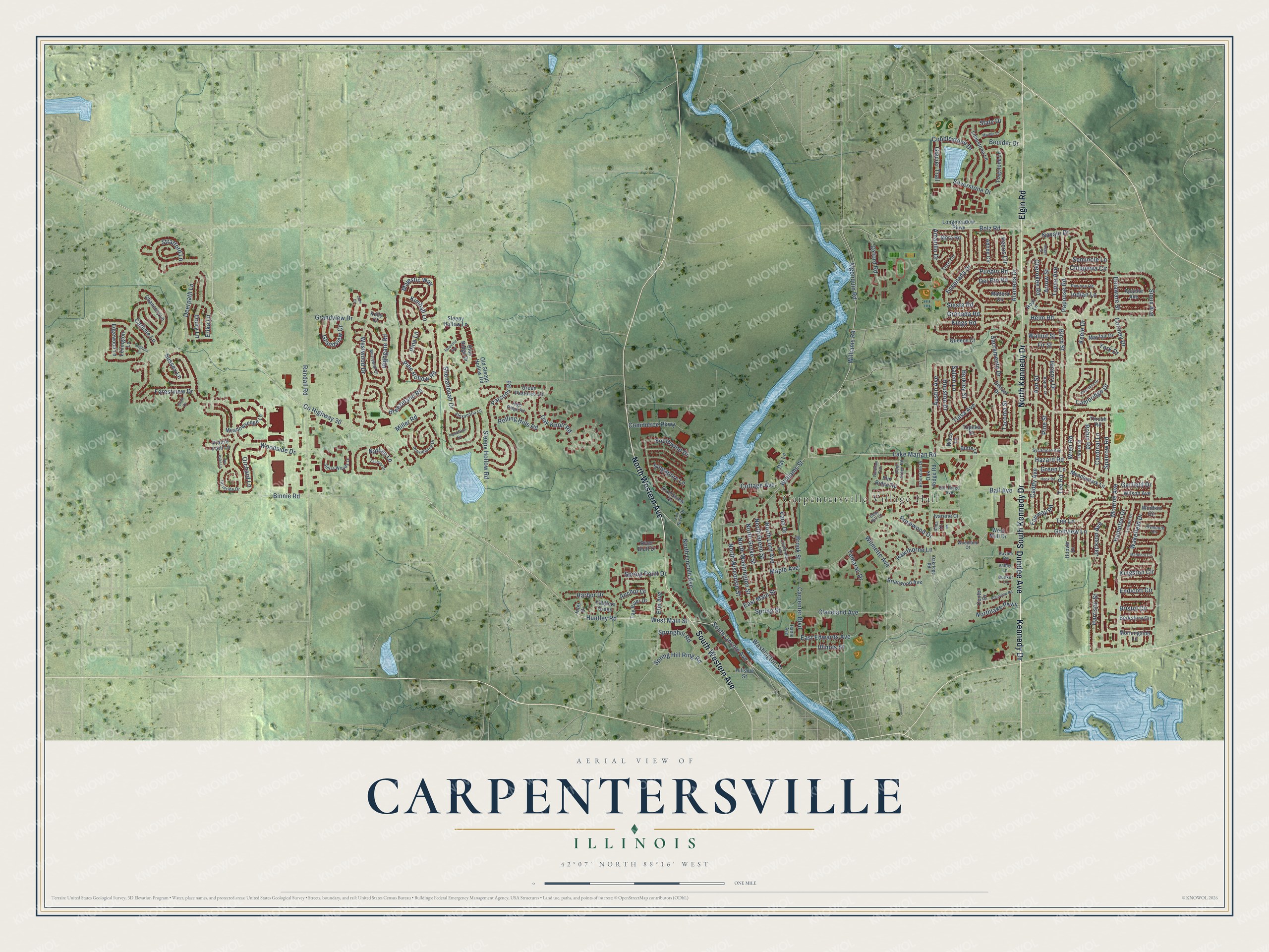
This beautifully detailed map of Carpentersville, Illinois was created in 2026 using aerial imagery combined with modern topographical, census, street and landmark data. It’s a one-of-a-kind view of Carpentersville that combines accurate data with a vintage aesthetic. The map shows every building in its true location, many of the roads carry their names, and the shaded topographic relief shows the shape of the land.
Explore an aerial view of Carpentersville, Illinois
On the map you’ll find Carpentersville Village Hall, along with Elgin Road, North Kennedy Drive, South Kennedy Drive, Dundee Avenue, Kennedy Drive, North Western Avenue, South Western Avenue, County Highway 30, Lake Marian Road, Williams Road, Bolz Road, and more. If you look closely you can even find your house accurately drawn in its correct location. Zoom in on the preview to look for yours.
Did you know this piece of Carpentersville, Illinois history?
From the History of Kane County: "In common with all other settlers, the first habitation of Charles V. Carpenter was a log cabin, erected within what is now the village of Carpentersville."
Take a closer look at the Carpentersville map
Street and place names on the Carpentersville, Illinois map
These names are printed on the map of Carpentersville, Illinois.
Places: Carpentersville Village Hall.
Streets and roads: Elgin Road, North Kennedy Drive, South Kennedy Drive, Dundee Avenue, Kennedy Drive, North Western Avenue, South Western Avenue, County Highway 30, Lake Marian Road, Williams Road, Bolz Road, Huntley Road.
More street names, A to Z
Aberdeen Drive, Adobe Circle, Alameda Drive, Alexandria Lane, Algonquin Road, Alma Court, Amarillo Drive, Anchor Drive, Apache Avenue, Arrow Street, Ash Street, Aspen Lane, Austin Avenue, Ball Avenue, Berkley Street, Berkshire Circle, Binnie Road, Birch Street, Blue Ridge Drive, Boulder Drive, Breezeland Road, Briarwood Avenue, Brighton Lane, Bristol Circle, Brookdale Drive, Brook Street, Bunker Lane, Butte Lane, Caddy Avenue, California Avenue, Cambridge Drive, Cardinal Lane, Carlisle Lane, Carpenter Boulevard, Center Drive, Chancery Lane, Cherokee Road, Chippewa Circle, Cleveland Avenue, Cobblestone Drive, Commerce Parkway, Cortney Drive, Cottage Avenue, Day Lane, Deer Creek Road, Deer Hill Court, Deerpath Lane, Delaware Street, Del Rio Road, Denver Drive, Drury Lane, East Edwards Avenue, East Main Street, Edgewood Lane, Elm Avenue, Elm Ridge Avenue, Elm Ridge Road, Endicott Circle, Ensenada Drive, Erika Lane, Fairway Road, Farmside Drive, Fiddlers Green, Fir Street, Flagstone Lane, Forestview Drive, Fox River Drive, Garfield Drive, Glacier Trail, Golfview Lane, Granada Road, Grandview Court, Grandview Drive, Green Lane, Green Pastures Lane, Hampton Drive, Harbor Drive, Harrison Street, Hattie Avenue, Hawthorne Lane, Hazard Road, Helm Road, Hickory Drive, Highgate Road, High Ridge Road, Hillside Street, Hook Road, Hoover Drive, Hopi Lane, Houston Drive, Illinois Street, Indian Lane, Inlet Drive, Ivarene Court, Jackson Avenue, Keele Drive, Kelly Court, Kimball Lane, Kings Road, Kingston Circle, Lexington Lane, Liam Court, Limestone Lane, Longmeadow Parkway, Lowell Drive, Madera Circle, Majestic Way, Maple Avenue, Marble Lane, Marlboro Circle, Mayfair Drive, Meadowlark Lane, Meadowsedge Lane, Merrywell Court, Miller Road, Monroe Avenue, Mora Road, Morningside Lane, Nathan Lane, Navajo Drive, North Green Street, North Grove Street, Northlake Parkway, North Lincoln Avenue, North Lord Avenue, North Washington Street, North Wisconsin Street, Oak Knoll Road, Oak Ridge Road, Oakridge Road, Old Sleepy Hollow Road, Orchard Lane, Osage Court, Oxford Road, Papoose Road, Parsons Road, Pawnee Road, Pecos Circle, Pine Hollow Road, Pine Lane, Pine Street, Plainview Road, Plantation Drive, Plymouth Circle, Prairie Path Lane, Providence Drive, Pueblo Road, Quail Cv, Queens Court, Randall Road, Ravine Road, River Bluff Drive, Riversview Drive, Roanoke Avenue, Robin Road, Rolling Hills Road, Rosewood Drive, Sacramento Drive, Salem Lane, Seminole Lane, Shenandoah Drive, Sierra Woods Lane, Siesta Road, Silverstone Drive, Singapore Lane, Sioux Avenue, Slate Drive, Sleepy Hollow Lane, Sleepy Hollow Road, South Lincoln Avenue, Southwind Drive, Sparrow Road, Spring Hill Ring Road, Springhill Road, Spring Point Drive, Spring Street, Stratford Lane, Sussex Lane, Sycamore Avenue, Tacoma Street, Tamarac Drive, Tay River Drive, Tee Lane, Tee Road, Tepee Avenue, Thrush Road, Thrush Street, Topeka Drive, Toro Circle, Tulsa Avenue, Valley Lane, Vana Drive, Van Dyke Lane, Waco Lane, Wakefield Drive, Walnut Street, Washington Street, West Main Street, West Mall Drive, Westwood Drive, Williams Street, Wilmette Avenue, Wilson Avenue, Windham Trail, Windsor Circle, Woodland Court, Woodside Drive, Wren Road, York Drive, Zachary Drive.
See the Carpentersville, Illinois map on a wall
The Carpentersville map as an 18 x 24 inch print in a black frame.

This beautifully detailed map of Carpentersville makes an attractive addition to your office, library, or den, and it can even be used to teach children the geography and history of the area. It also makes a great gift for anyone with Carpentersville roots. When you’re done exploring, click here to get your copy of the Carpentersville map.