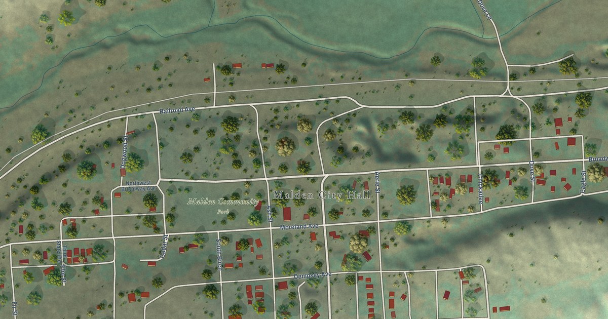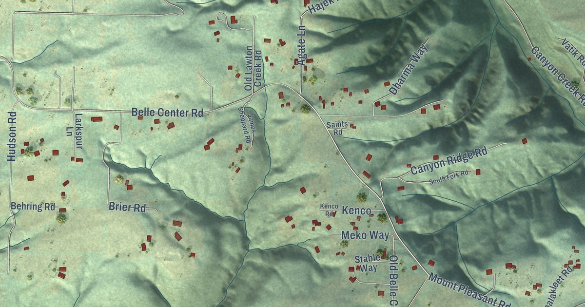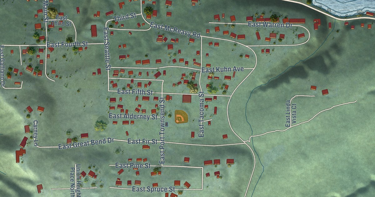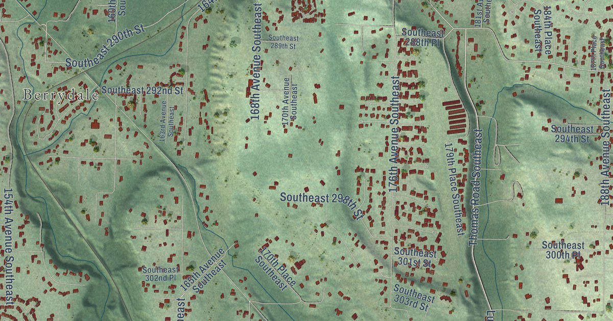
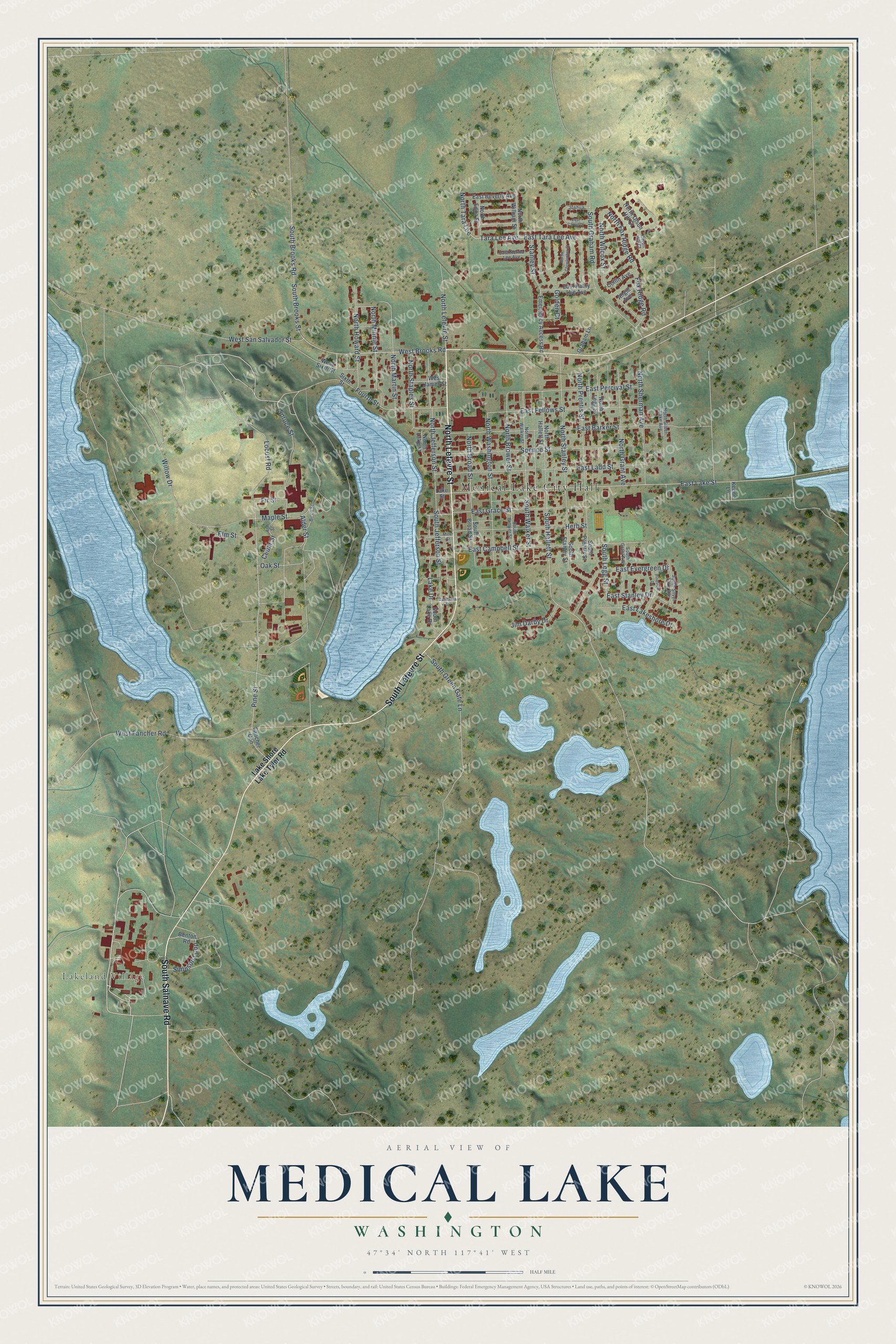
This beautifully detailed map of Medical Lake, Washington was created in 2026 using aerial imagery combined with modern topographical, census, street and landmark data. It’s a one-of-a-kind view of Medical Lake that combines accurate data with a vintage aesthetic. The map shows every building in its true location, many of the roads carry their names, and the shaded topographic relief shows the shape of the land.
Explore an aerial view of Medical Lake, Washington
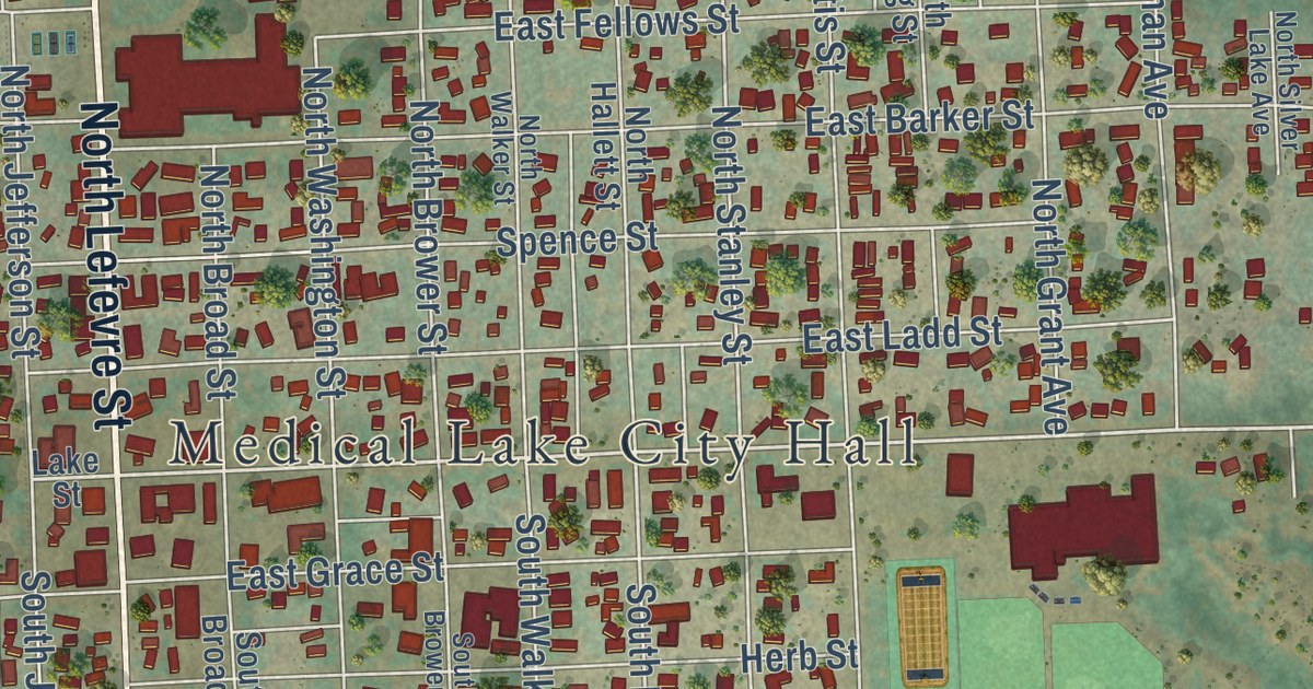
On the map you’ll find Medical Lake City Hall, Lakeland Village, and Fancher Con, along with North Lefevre Street, South Salnave Road, South Lefevre Street, West Brooks Road, Benton Road, West San Salvador Street, Pine Street, North Tara Lee Street, East Tara Lee Avenue, and more. If you look closely you can even find your house accurately drawn in its correct location. Zoom in on the preview to look for yours.
Did you know this piece of Medical Lake, Washington history?
From HistoryLink.org: "The first white settlers arrived in 1872 and they, too, believed the lake had healing powers."
Take a closer look at the Medical Lake map
Street and place names on the Medical Lake, Washington map
These names are printed on the map of Medical Lake, Washington.
Places: Medical Lake City Hall and Lakeland Village.
Streets and roads: North Lefevre Street, South Salnave Road, South Lefevre Street, West Brooks Road, East Lake Street, Pine Street, South Hallett Street, West San Salvador Street, North Fox Ridge Road, East Tara Lee Avenue, North Stanley Street, North Brower Street.
More street names, A to Z
Alder Street, Angie Avenue, Ash Street, Benton Road, Birch Street, California Street, Cedar Street, Collin Avenue, East Barker Street, East Beverly Avenue, East Campbell Street, East Carrie Drive, East Evergreen Drive, East Fellows Street, East Grace Street, East Kathy Lee Avenue, East Ladd Street, East Lakeshore Drive, East Norma Lee Avenue, East Percival Street, East Stanley Drive, Elm Street, Emergency Access Road, Fancher Con, Fir Street, Fourth Street, Fox Ridge Road, Golden Court, Graham Lane, Herb Street, Jim Darby Drive, Joshua, Keene Lane, Lake Drive, Lake Shore Lake Tyler Road, Lake Street, Locust Road, Maple Street, Miller Street, North Broad Street, North Christopher Street, North Edna Street, North Grant Avenue, North Hallett Street, North Howard Street, North Jefferson Street, North Lake Street, North Legg Street, North Martin Street, North Minnie Street, North Olson Hill Court, North Prentis Street, North Sherman Avenue, North Silver Lake Avenue, North Staples Street, North Tara Lee, North Walker Street, North Washington Street, North Wilcox Street, North William Street, Oak Street, Olson Hill Court, Pineview Drive, Simpson Loop, Sixth Street, South Broad Street, South Brooks Road, South Brooks Street, South Brower Street, South Graham Road, South Grant Avenue, South Green Gate Lane, South Jefferson Street, South Lake Drive, South Legg Street, South Prentis Street, South Silver Lake Avenue, South Stanley Street, South Walker Street, Spence Street, Spruce Street, Stanley Street, Tara Lee Avenue, West Fancher Road, West James Street, West Sixth Street, Willow Drive.
See the Medical Lake, Washington map on a wall
The Medical Lake map as an 18 x 24 inch print in a black frame.

This beautifully detailed map of Medical Lake makes an attractive addition to your office, library, or den, and it can even be used to teach children the geography and history of the area. It also makes a great gift for anyone who grew up in Medical Lake or moved away. When you’re done exploring, click here to get your copy of the Medical Lake map.