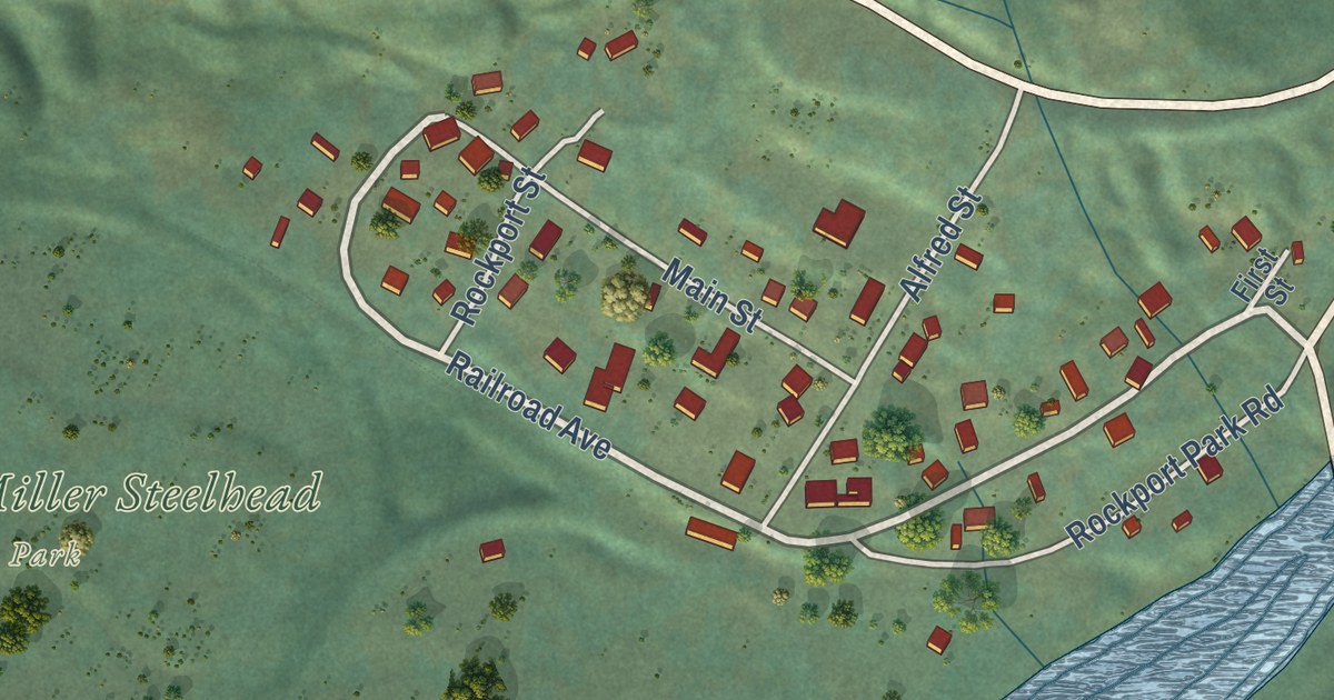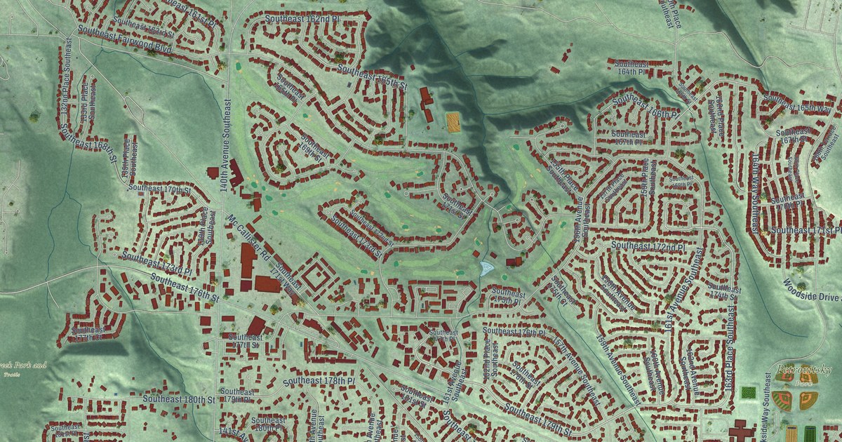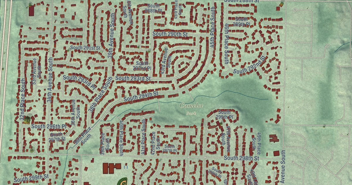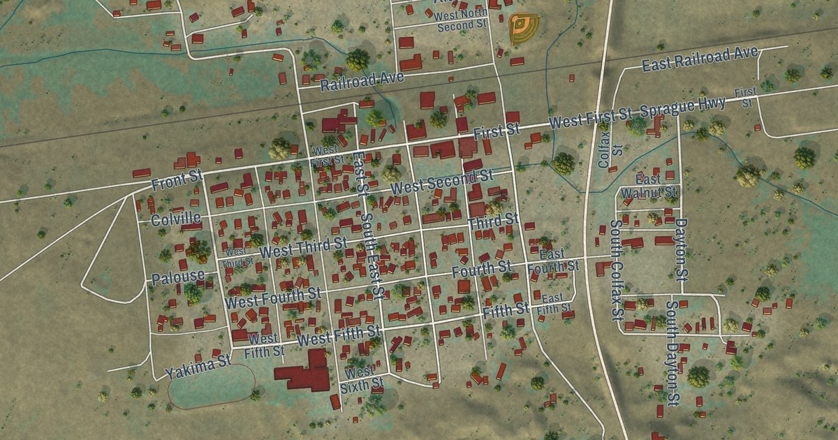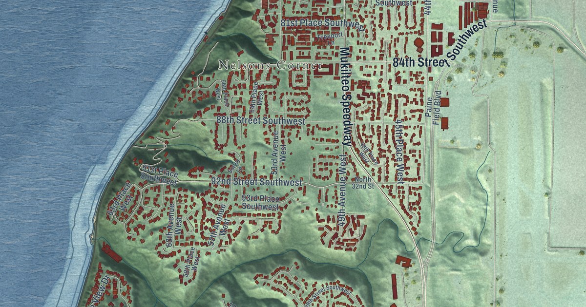
This beautifully detailed map of Mukilteo, Washington was created in 2026 using aerial imagery combined with modern topographical, census, street and landmark data. It’s a one-of-a-kind view of Mukilteo that combines accurate data with a vintage aesthetic. The map shows every building in its true location, many of the roads carry their names, and the shaded topographic relief shows the shape of the land.
Explore an aerial view of Mukilteo, Washington
On the map you’ll find Harbour Pointe, Nelsons Corner, Big Gulch, Mukilteo Speedway, and 50th Place West, along with 84th Street Southwest, 44th Avenue West, 92nd Street Southwest, Harbour Heights Parkway, Saint Andrews Drive, Beverly Park Road, Harbour Heights Drive, and more. If you look closely you can even find your house accurately drawn in its correct location. Zoom in on the preview to look for yours.
Did you know this piece of Mukilteo, Washington history?
From HistoryLink.org: "Early Mukilteo entrepreneurs Morris Frost (1804-1882) and Jacob Fowler (1837-1892) established one of the first salmon canneries in Washington Territory and one of the region's earliest breweries."
Take a closer look at the Mukilteo map
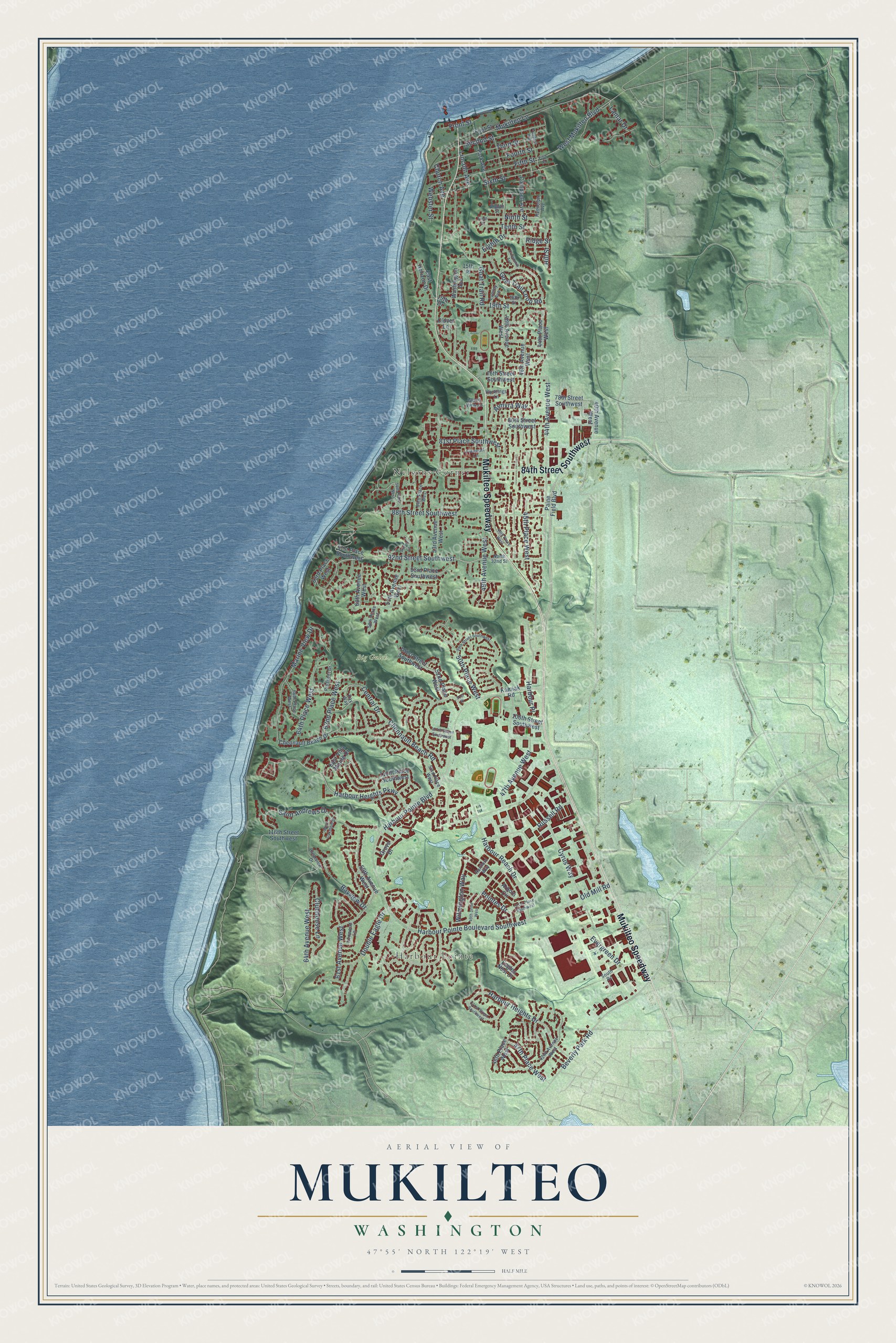
Street and place names on the Mukilteo, Washington map
These names are printed on the map of Mukilteo, Washington.
Places: Harbour Pointe, Nelsons Corner and Big Gulch.
Streets and roads: Mukilteo Speedway, 84th Street Southwest, 44th Avenue West, 92nd Street Southwest, Harbour Heights Parkway, Saint Andrews Drive, 50th Place West, Beverly Park Road, Harbour Heights Drive, Chennault Beach Road, 62nd Place West, Ninth Street.
More street names, A to Z
15th Place, 18th Street, 19th Drive, 19th Street, 40th Avenue West, 42nd Avenue West, 44th Place West, 45th Place West, 46th Avenue West, 46th Place West, 47th Avenue West, 47th Place West, 48th Avenue West, 48th Place West, 49th Avenue West, 49th Drive West, 51st Place, 52nd Place West, 53rd Avenue West, 53rd Place West, 54th Place West, 56th Place West, 57th Avenue West, 58th Place West, 59th Avenue West, 60th Avenue West, 61st Avenue West, 63rd Place West, 64th Avenue West, 64th Place West, 66th Place West, 76th Street Southwest, 78th Street Southwest, 80th Street Southwest, 81st Place Southwest, 88th Street Southwest, 91st Place Southwest, 93rd Place Southwest, 99th Street Southwest, 101st Street Southwest, 106th Street Southwest, 107th Street Southwest, 110th Place Southwest, 116th Street Southwest, 121st Place Southwest, 131st Street Southwest, Almyra Way, Arbors Circle, Bayview Drive, Campbell Avenue, Central Drive, Chennault Beach Drive, Church Avenue, Clearview Drive, Clover Lane, Clubhouse Lane, Crownmill Avenue, Cyrus Way, Double Eagle Drive, Eagles Nest Drive, East Horizon Drive, East Villa Monte Drive, Eighth Drive, Eighth Street, Evergreen Drive, Fifth Place, Fifth Street, First Street, Fourth Street, Freeport Lane, Front Street, Goat Trail Loop Road, Goat Trail Road, Grove Drive, Harbour Place, Harbour Pointe Boulevard, Harbour Pointe Boulevard Southwest, Harbour Reach Drive, Hartford Way, Hill Street, Hunttings Lane, Ironwood Lane, Island View Lane, Kamiak Road, Kay Way, Lamar Drive, Lincoln Avenue, Lumley Avenue, Marine View Drive, Mukilteo Lane, Ninth Place, North 32nd Street, Old Mill Road, Paine Field Boulevard, Park Avenue, Pointes Drive, Prospect Avenue, Prospect Drive, Randolph Avenue, Ridge Street, Russell Road, Second Street, Sixth Street, South Road, Surrey Lane, Tenth Street, Third Street, Washington Avenue, Webster Street, West Mukilteo Boulevard, West Oakmont Drive, Wilmington Way.
See the Mukilteo, Washington map on a wall
The Mukilteo map as an 18 x 24 inch print in a black frame.

This beautifully detailed map of Mukilteo makes an attractive addition to your office, library, or den, and it can even be used to teach children the geography and history of the area. It also makes a great gift for someone who left Mukilteo and still calls it home. When you’re done exploring, click here to get your copy of the Mukilteo map.