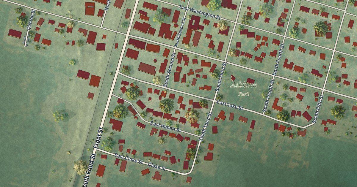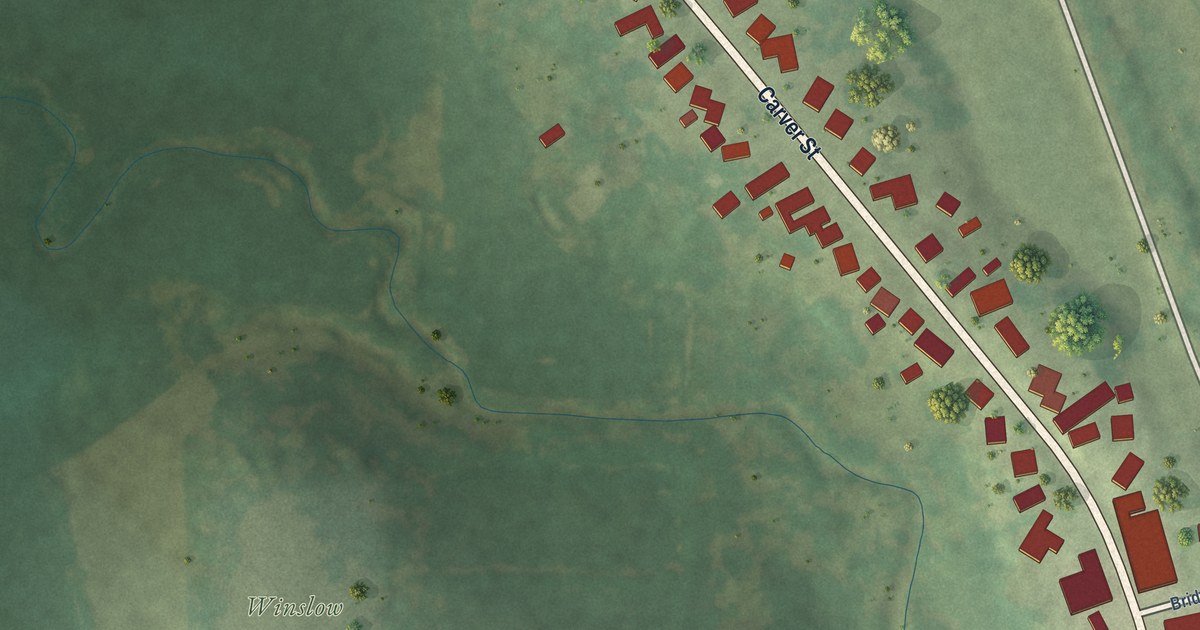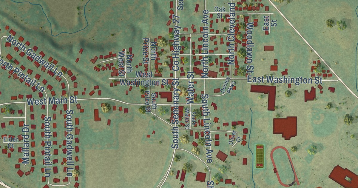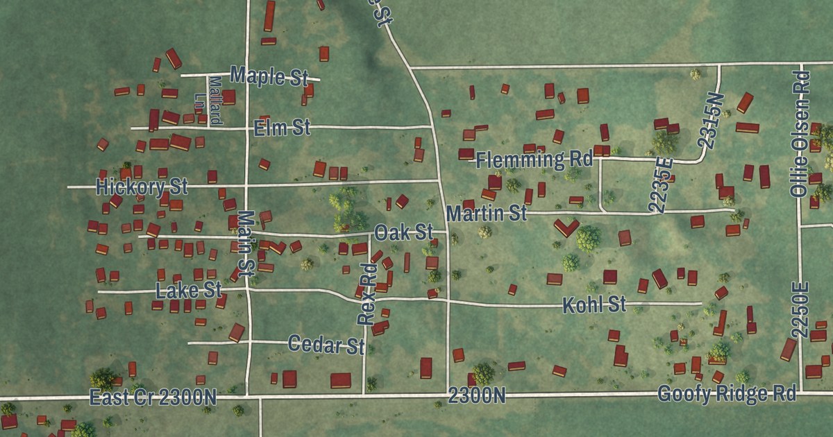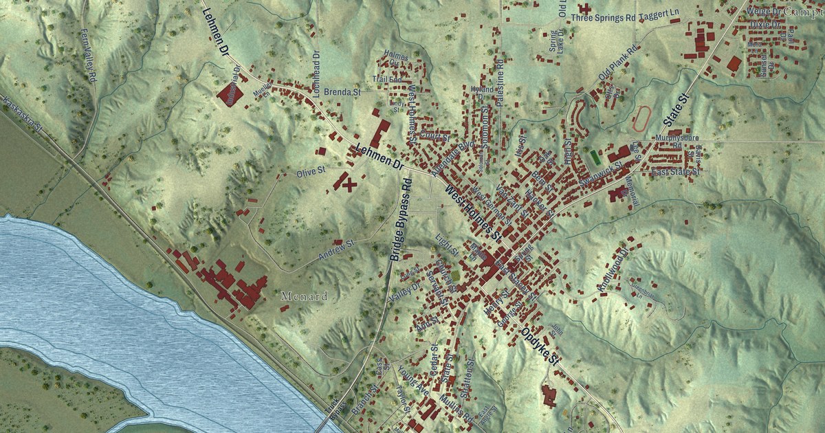
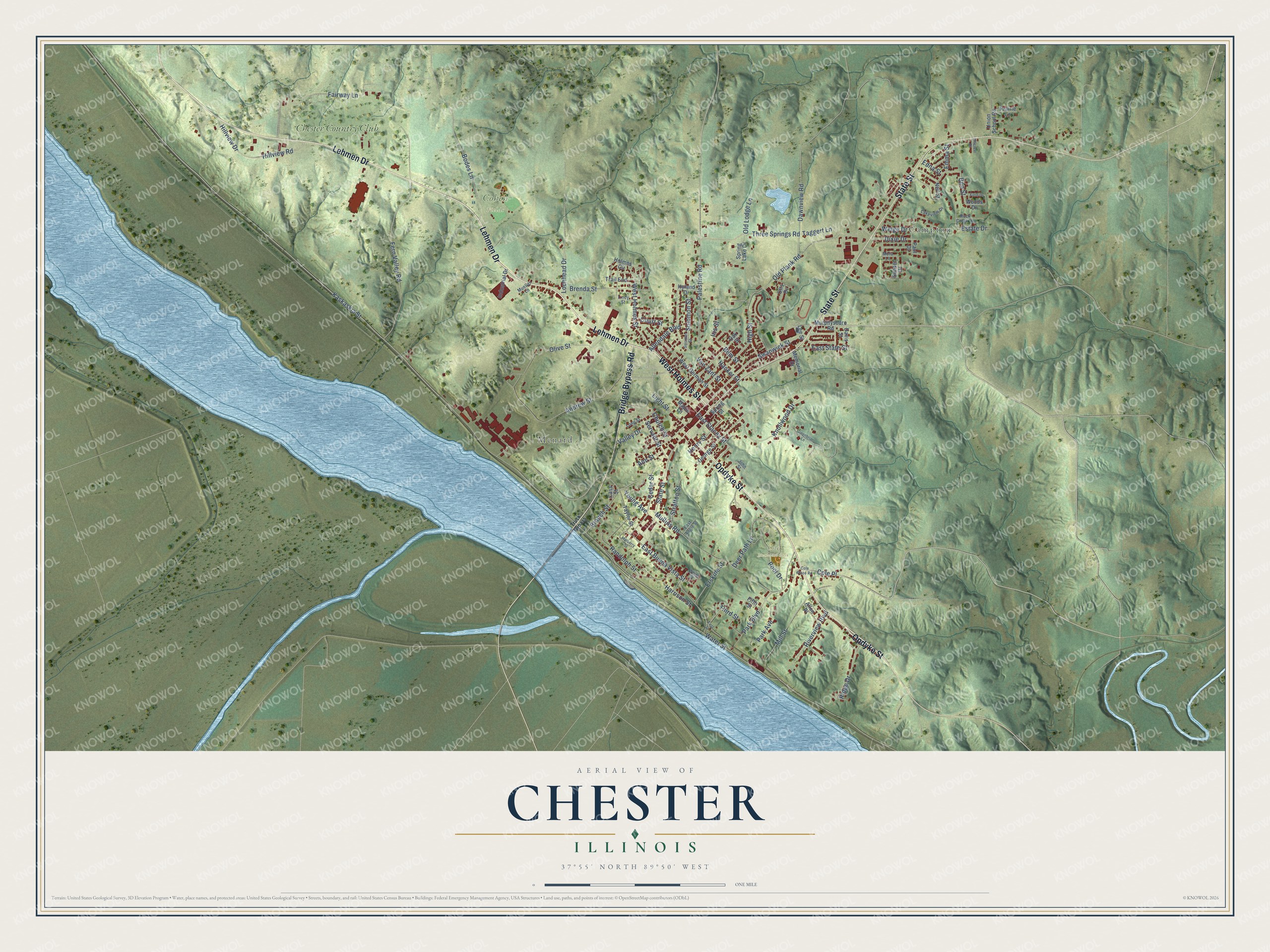
This beautifully detailed map of Chester, Illinois was created in 2026 using aerial imagery combined with modern topographical, census, street and landmark data. It’s a one-of-a-kind view of Chester that combines accurate data with a vintage aesthetic. The map shows every building in its true location, many of the roads carry their names, and the shaded topographic relief shows the shape of the land.
Explore an aerial view of Chester, Illinois
On the map you’ll find Campton, Menard, Cohen Fields, Cole Memorial Park, Chester Country Club, and Cole Place, along with Lehmen Drive, Opdyke Street, West Holmes Street, State Street, Bridge Bypass Road, Ben Street, and more. If you look closely you can even find your house accurately drawn in its correct location. Zoom in on the preview to look for yours.
Did you know this piece of Chester, Illinois history?
From the History of Randolph Monroe and Perry Counties: "The church at Chester was organized in 1848 under the pastoral labor of Geo. Boeshenz, and in 1850 the first church house was built in connection with the English Methodist Church."
Take a closer look at the Chester map
Street and place names on the Chester, Illinois map
These names are printed on the map of Chester, Illinois.
Places: Campton, Menard, Cohen Fields, Cole Memorial Park and Chester Country Club.
Streets and roads: Lehmen Drive, Opdyke Street, West Holmes Street, State Street, Bridge Bypass Road, Cole Place, Ben Street, East Buena Vista Street, Young Avenue, Van Zant Street, Hillview Road, Bem Street.
More street names, A to Z
Allendale Boulevard, Allen Place, Andrew Street, Ann Street, Bodes Lane, Branch Street, Brenda Street, Cass Street, Cedar Street, Church Street, Cole Place Road, Court Street, Davis Street, Dawnview Road, Deer Path Lane, Dixie Drive, East Angle Street, East Stacey Street, East State Street, Edna Street, Emma Street, Erskine Street, Estate Drive, Fairway Lane, Fern Valley Road, Field Drive, Fifth Street, First Street, George Street, Greenbriar Lane, Hacker Street, Harrison Street, Henry Street, High Street, Hillcrest Drive, Hillview Drive, Holmes Circle, Hyland Drive, Industrial Drive, Iris Street, John Street, Kaskaskia Street, Knollwood Drive, Lakeview Drive, Lee Street, Light Street, Lindy Street, Lochhead Drive, Long Street, Maple Lane, Memorial Drive, Mill Street, Mora Lane, Mueller Lane, Mulberry Street, Mullins Road, Murphysboro Road, Neil Street, Oak Street, Old Lodge Lane, Old Plank Road, Olive Street, Otts Drive, Palestine Road, Park Avenue, Park Boulevard, Paul Drive, Pool Drive, Prairie Lane, Randolph Street, Ridge Drive, Riverview Boulevard, Rock Creek Lane, Servant Street, Soloman Street, Solomon Street, Spring Lake Drive, Spring Street, Stratton Street, Sunset Drive, Swanwick Street, Taggert Lane, Taylor Street, Third Street, Three Springs Road, Trail End, Truck Bypass, Union School Road, Valley Drive, Water Street, Welge Drive, West German Street, White Street, Woods Drive.
See the Chester, Illinois map on a wall
The Chester map as an 18 x 24 inch print in a black frame.

This beautifully detailed map of Chester makes an attractive addition to your office, library, or den, and it can even be used to teach children the geography and history of the area. It also makes a great gift for anyone with Chester roots. When you’re done exploring, click here to get your copy of the Chester map.