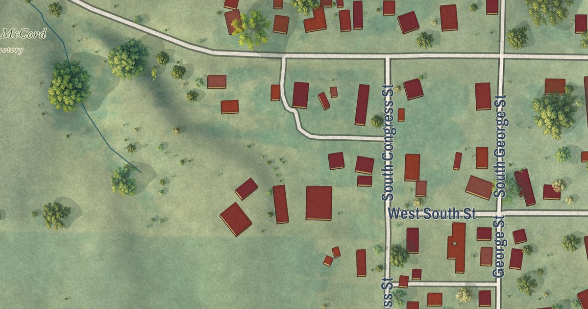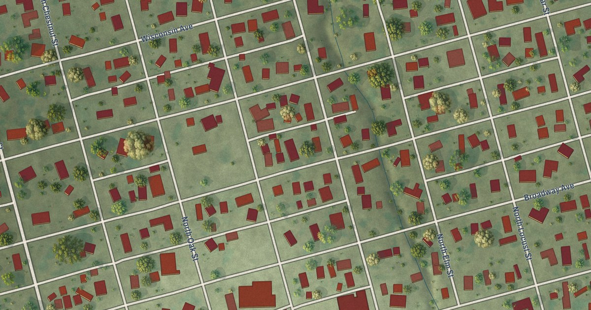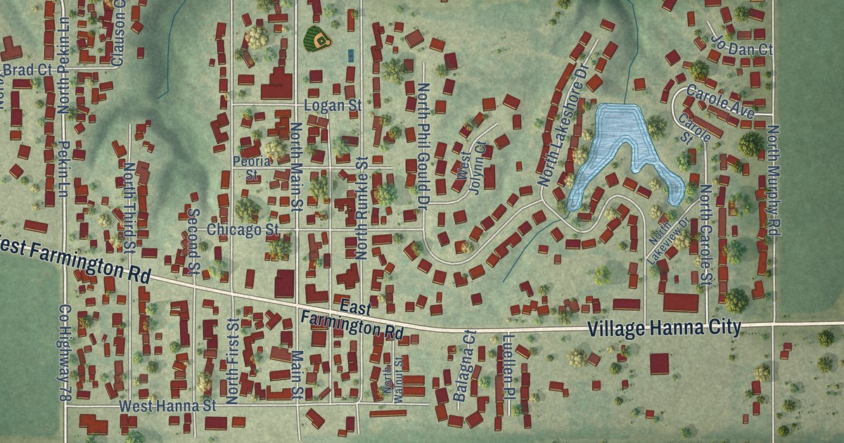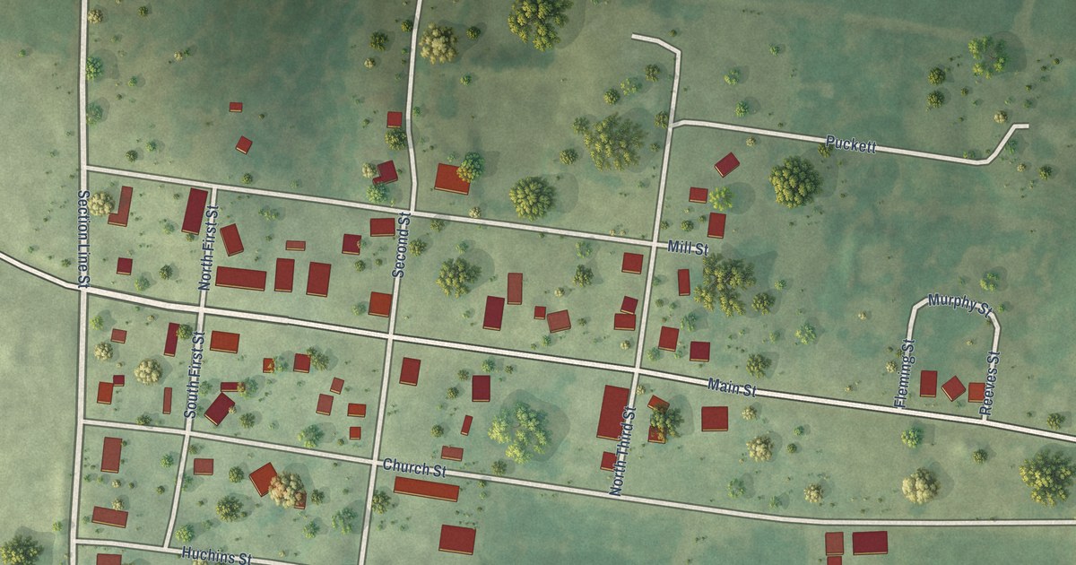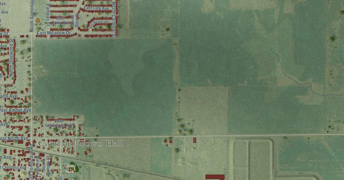
This beautifully detailed map of Cortland, Illinois was created in 2026 using aerial imagery combined with modern topographical, census, street and landmark data. It’s a one-of-a-kind view of Cortland that combines accurate data with a vintage aesthetic. The map shows every building in its true location, many of the roads carry their names, and the shaded topographic relief shows the shape of the land.
Explore an aerial view of Cortland, Illinois
On the map you’ll find Cortland Town Hall and Lions Park, along with West Lincoln Highway, County Highway 19, East Cortland Center Road, Loves Road, West North Avenue, North Somonauk Road, South Somonauk Road, North Juniper Street, West Meadow Drive, Hampstead Street, and more. If you look closely you can even find your house accurately drawn in its correct location. Zoom in on the preview to look for yours.
Did you know this about Cortland, Illinois?
From the DeKalb County History: "The Chicago & Northwestern Railroad passes through the southern part of the township, while the Sycamore branch of the same road runs due north from the village of Cortland to Sycamore, a distance of four miles."
Take a closer look at the Cortland map
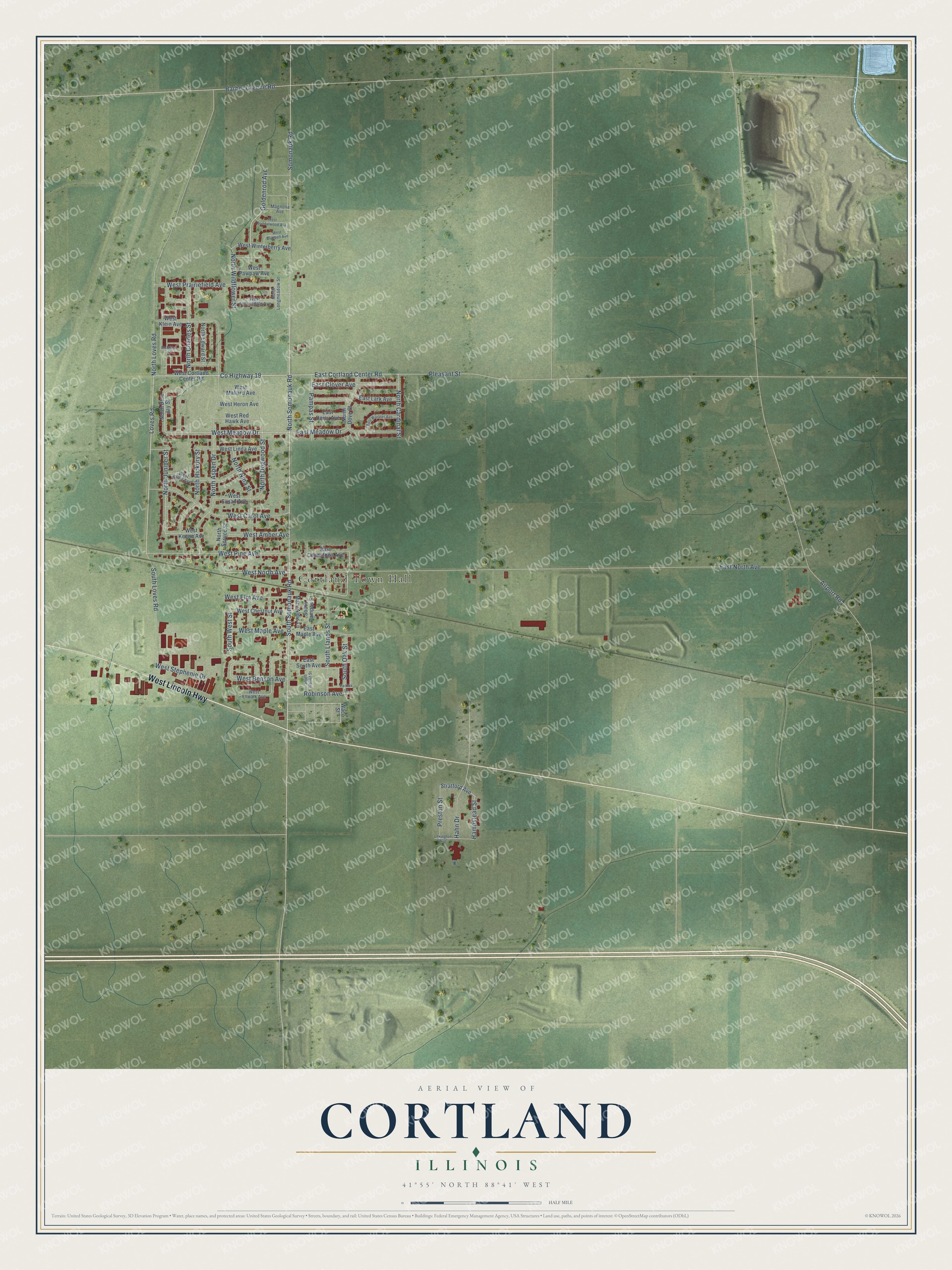
Street and place names on the Cortland, Illinois map
These names are printed on the map of Cortland, Illinois.
Places: Cortland Town Hall and Lions Park.
Streets and roads: West Lincoln Highway, County Highway 19, East Cortland Center Road, Loves Road, West North Avenue, North Somonauk Road, South Somonauk Road, North Juniper Street, West Meadow Drive, Hampstead Street, East North Avenue, Pleasant Street.
More street names, A to Z
Airport Road, Barber Greene Road, East Clover Avenue, East Conestoga Avenue, East Daisy Avenue, East Lark Avenue, East Maple Avenue, East Meadow Drive, East South Avenue, East Warbler Avenue, Fairfax Lane, Goldenrod Avenue, Hahn Drive, Lexington Avenue, Magnolia Avenue, Mary Aldis Lane, McMillan Court, North Aspen Drive, North Blue Jay Street, North Cardinal Street, North Charles Street, North Dogwood Street, North Dove Street, North Edward Street, North Hickory Street, North Longmeadow Street, North Loves Road, North Nina Street, North Spruce Street, North Wildflower Street, Pampas Street, Preston Street, Robinson Avenue, Somonauk Road, South Llanos Street, South Loves Road, South Oak Street, South Pampas Street, South Walnut Street, South West Street, Stratford Avenue, Waco Street, West Amber Avenue, West Auburndale Avenue, West Benson Avenue, West Bluebell Avenue, West Carol Avenue, West Chestnut Avenue, West Cortland Center Road, West Ellen Avenue, West Ellwalk Avenue, West Elm Avenue, West Heron Avenue, West Keene Avenue, West Klein Avenue, West Linda Avenue, West Mallard Avenue, West Maple Avenue, West Pawpaw Avenue, West Pine Avenue, West Prairiefield Avenue, West Red Hawk Avenue, West Sandalwood Avenue, West Stephenie Drive, West Susan Avenue, West Winterberry Avenue.
See the Cortland, Illinois map on a wall
The Cortland map as an 18 x 24 inch print in a black frame.

This beautifully detailed map of Cortland makes an attractive addition to your office, library, or den, and it can even be used to teach children the geography and history of the area. It also makes a great gift for anyone who grew up in Cortland or moved away. When you’re done exploring, click here to get your copy of the Cortland map.