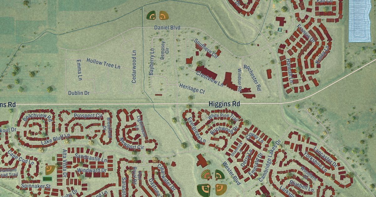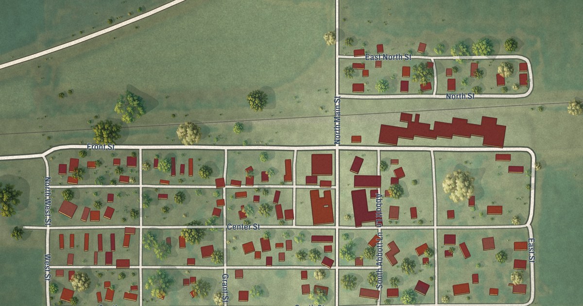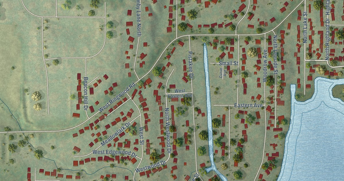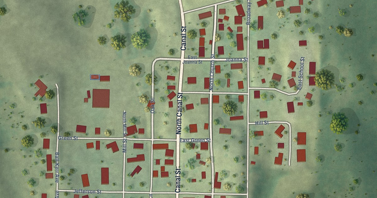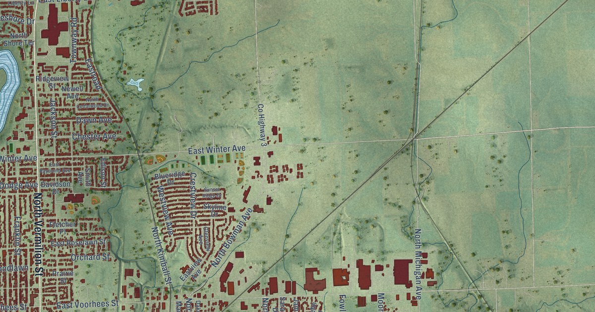
This beautifully detailed map of Danville, Illinois was created in 2026 using aerial imagery combined with modern topographical, census, street and landmark data. It’s a one-of-a-kind view of Danville that combines accurate data with a vintage aesthetic. The map shows every building in its true location, many of the roads carry their names, and the shaded topographic relief shows the shape of the land.
Explore an aerial view of Danville, Illinois
On the map you’ll find South Danville, Vermilion Heights, Walz, and Wyton, along with Beeler Terrace, West Main Street, North Gilbert Street, North Vermilion Street, East Main Street, South Gilbert Street, South Dixie Highway, East Fairchild Street, and more. If you look closely you can even find your house accurately drawn in its correct location. Zoom in on the preview to look for yours.
Did you know this piece of Danville, Illinois history?
From the Vermilion County History: "Mr. Baum during 1897-98 erected one of the first modern office buildings in Danville known as the Baum Building, a seven-story structure at 41-43 North Vermilion Street."
Take a closer look at the Danville map
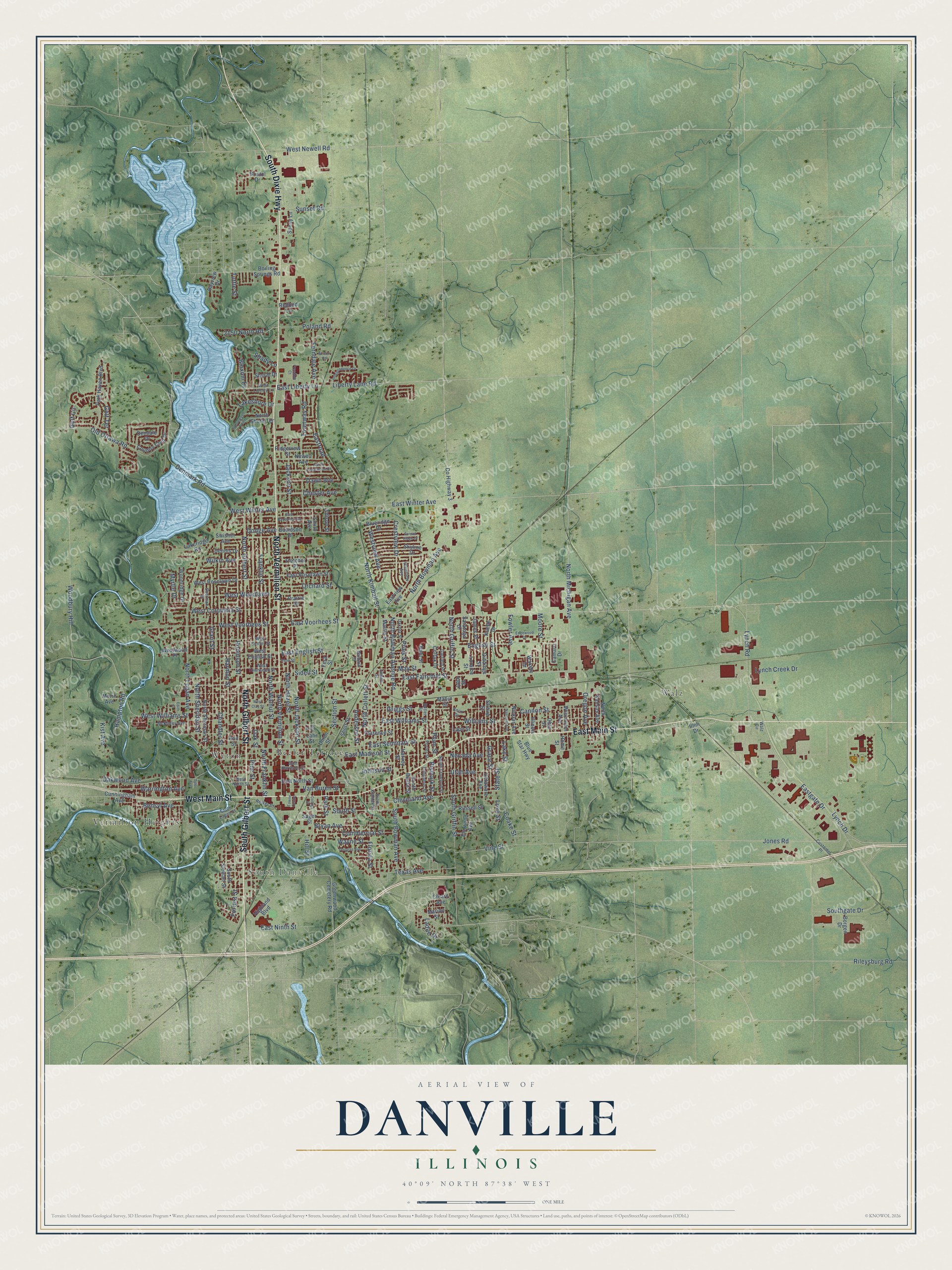
Street and place names on the Danville, Illinois map
These names are printed on the map of Danville, Illinois.
Places: South Danville, Beeler Terrace, Vermilion Heights, Walz and Wyton.
Streets and roads: West Main Street, North Gilbert Street, North Vermilion Street, East Main Street, South Gilbert Street, South Dixie Highway, East Fairchild Street, Eastgate Drive, North Michigan Avenue, Jones Road, Lynch Drive, East Winter Avenue.
More street names, A to Z
2150 North Road, Anderson Street, Ann Street, Bahl Street, Baldwin Street, Bayview Drive, Bensyl Avenue, Bismark Street, Bloxom Drive, Blueridge Drive, Blue Star Highway, Boiling Springs Road, Borgen Drive, Bristol Drive, Bryan Avenue, Butler Street, Camaro Drive, Cannon Street, Chandler Street, Chester Avenue, Clarence Street, Cleary Avenue, Cleveland Avenue, Coake Street, Colfax Drive, College Street, Columbus Street, Commercial Street, Country Club Drive, County Highway 3, Crestview Drive, Cunningham Avenue, Customer Place, Dakota Street, Davidson Drive, Dawn Avenue, Delaware Avenue, Denmark Road, Dennis Drive, Denvale Drive, Dodge Avenue, Douglas Avenue, East English Street, East Harrison Street, East Liberty Lane, East Madison Street, East Ninth Street, East North Street, East Raymond Avenue, Eastroad, East Roselawn Street, East Seminary Street, Eastview Avenue, East Voorhees Street, East Williams Street, Edgewood Drive, Edison Street, Edith Street, Elm Street, Elmwood Avenue, English Street, Fera Street, Ferndale Avenue, Fletcher Place, Florida Street, Forrest Street, Fowler Avenue, Franklin Street, Freedom Court, Garfield Place, Giddings Street, Glenview Avenue, Golf Circle, Golf Terrace, Grace Street, Grant Street, Greenwood Cemetery Road, Griggs Street, Hampton Road, Harmon Street, Harvey Street, Highland Boulevard, Hill Street, Home Street, Illini Drive, Illinois Street, Independence Drive, Jackson Street, James Place, Jewell Street, Johnson Street, John Street, Kist Avenue, Knox Drive, Koehn Drive, Ladue Drive, Lahr Street, Lakeridge Road, Lakeshore Drive, Lake Street, Lape Street, Liberty Lane Road, Loraine Street, Love Street, Lynch Creek Drive, Lynch Road, Mabin Street, Marion Street, Martin Street, May Street, McKinley Avenue, Moore Street, Morin Avenue, Myrtle Drive, National Avenue, Nevada Avenue, Newell Avenue, Nicklas Avenue, North Bowman Avenue, North Bowman Avenue Road, North Cedarwood Drive, North Collett Street, North Franklin Street, North Griffin Street, North Hazel Street, North Jackson Street, North Kansas Avenue, North Kimball Street, North Logan Avenue, North Sheridan Street, North Sherman Street, North Shore Terrace, North Walnut Street, Oak Street, Oakwood Avenue, Ohio Street, Old Ottawa Road, Orchard Street, Oregon Avenue, Park Haven Boulevard, Park Street, Penn Street, Pine Street, Plum Street, Poland Road, Porter Street, Prairie Street, Pries Street, Redbud Lane, Reiker Court, Ridgeview Street, Rileysburg Road, Robinson Street, Russell Street, Sager Street, Saratoga Drive, Section Street, Shady Lane, Sheral Drive, Sherman Street, Shorewood Point, Short Street, Sidell Street, Skyline Drive, Smith Avenue, Sonny Lane, South Beard Street, South Bowman Avenue, South Crawford Street, Southgate Drive, South Griffin Street, South Kimball Street, South Logan Street, South Stewart Street, South Street, State Street, Stroup Street, Sunset Ridge Drive, Sunset Road, Swisher Avenue, Texas Avenue, Towne Centre, Townway Road, Tuttle Street, Tyler Avenue, Union Street, Utah Avenue, Van Buren Street, Vine Street, Wakely Drive, Walz Circle, Warrington Avenue, Wayne Street, West Center Street, West Clay Street, West Columbia Street, West English Street, West Liberty Lane, West Newell Road, West North Street, West Roselawn Drive, West Townsend Street, Westview Avenue, West Voorhees Street, West Williams Street, West Winter Avenue, West Woodlawn, Westwood Place, Wilkin Avenue, Williams Street, Wilson Road, Wisconsin Avenue, Woodbury Hill, Woodridge Drive.
See the Danville, Illinois map on a wall
The Danville map as an 18 x 24 inch print in a black frame.

This beautifully detailed map of Danville makes an attractive addition to your office, library, or den, and it can even be used to teach children the geography and history of the area. It also makes a great gift for someone who left Danville and still calls it home. When you’re done exploring, click here to get your copy of the Danville map.