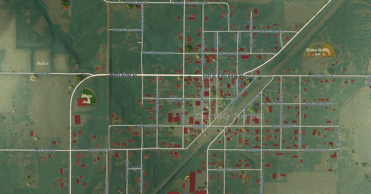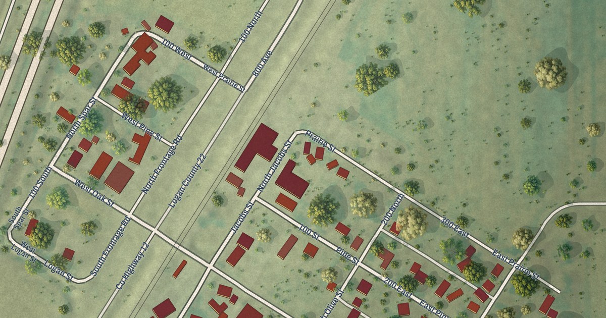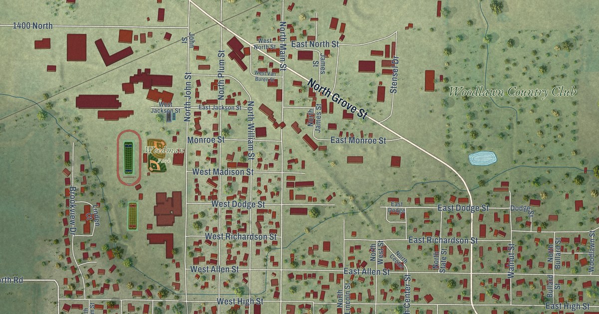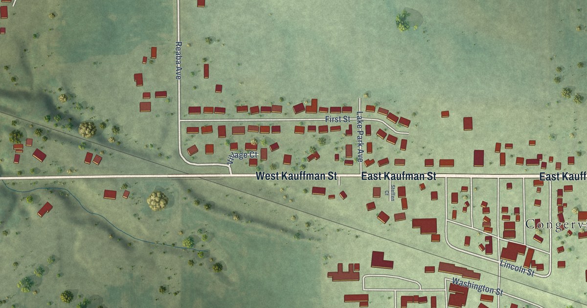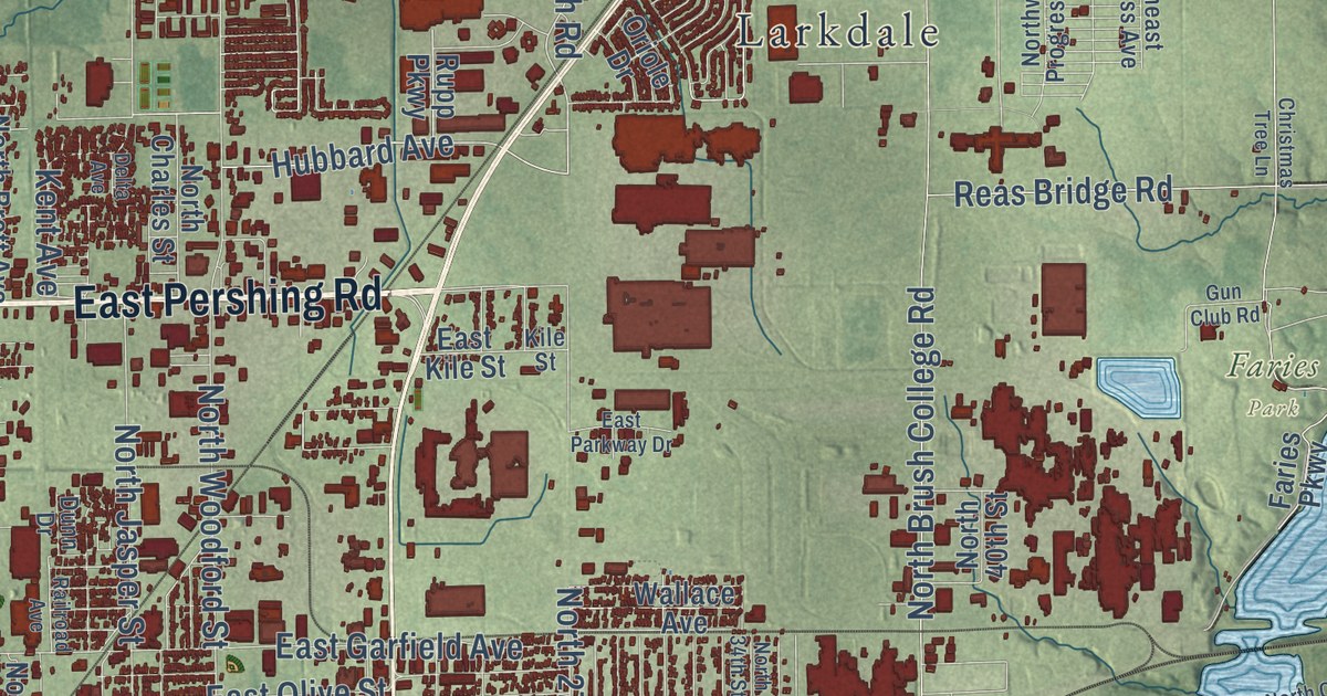
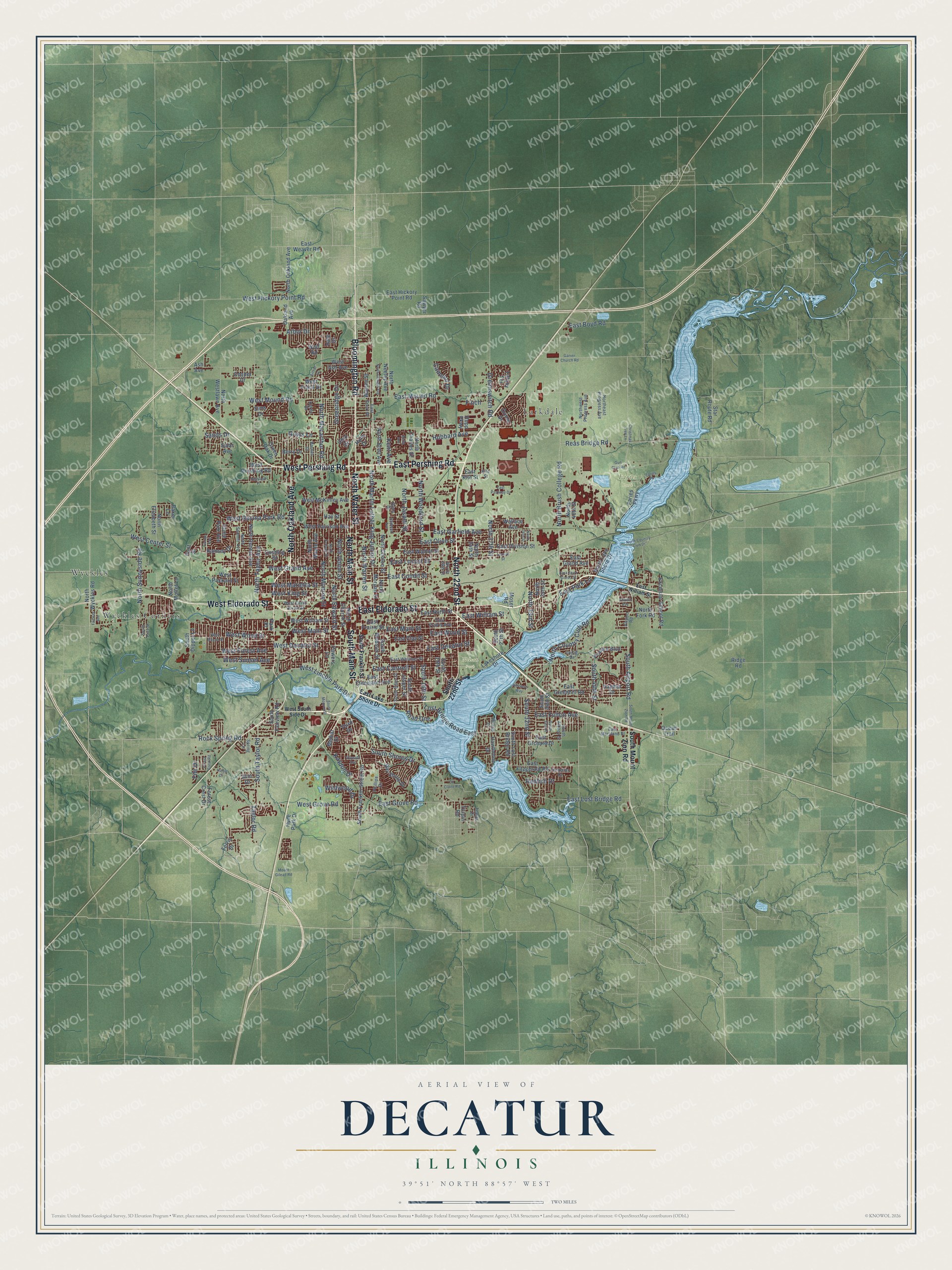
This beautifully detailed map of Decatur, Illinois was created in 2026 using aerial imagery combined with modern topographical, census, street and landmark data. It’s a one-of-a-kind view of Decatur that combines accurate data with a vintage aesthetic. The map shows every building in its true location, many of the roads carry their names, and the shaded topographic relief shows the shape of the land.
Explore an aerial view of Decatur, Illinois
On the map you’ll find Big Creek Park, Faries Park, Nelson Park, Larkdale, Longview Place, Wyckles, and Wyckles Corners, along with North 22nd Street, West Eldorado Street, East Eldorado Street, South Franklin Street, South Main Street, and more. If you look closely you can even find your house accurately drawn in its correct location. Zoom in on the preview to look for yours.
Did you know this piece of Decatur, Illinois history?
From the Encyclopaedia Britannica: "In 1920 George Halas founded the Decatur Staleys (now the Chicago Bears) and helped found the American Professional Football Association (now the National Football League)."
Take a closer look at the Decatur map
Street and place names on the Decatur, Illinois map
These names are printed on the map of Decatur, Illinois.
Places: Faries Park, Nelson Park, Wyckles Corners, Larkdale and Wyckles.
Streets and roads: North 22nd Street, West Eldorado Street, East Eldorado Street, South Main Street, North Water Street, North Main Street, North Oakland Avenue, East Pershing Road, West Pershing Road, Bloomington Road, North Country Club Road, South Airport Road.
More street names, A to Z
Airport Road, Arbor Drive, Arthur Court, Ash Avenue, Baker Lane, Barnes Drive, Bay Shore Drive, Berry Drive, Camelot Drive, Christmas Tree Lane, Cooper Drive, Cushing Street, Delta Avenue, Du Claire Road, Dunn Drive, East Boyd Road, East Cantrell Street, East Cerro Gordo Street, East Clay Street, East Cleveland Avenue, East Condit Street, East Court Drive, East Decatur Street, East Division Street, East Fitzgerald Road, East Fulton Avenue, East Garfield Avenue, East Grand Avenue, East Greenhill Road, East Grove Road, East Hickory Point Road, East Kile Street, East Lake Shore Drive, East Locust Street, East Lost Bridge Road, East Main Street, East Maryland Street, East Mound Road, East North Street, East Olive Street, East Orchard Drive, East Park Lane, East Parkway Drive, East Prairie Avenue, East Prairie Street, East Walnut Street, East Weaver Road, East Whitmer Street, East William Street, East Wood Street, Excelsior School Road, Fairway Avenue, Faries Parkway, Faries Pk, Ferris Drive, File Drive, Finch, Florian Avenue, Fontenac Drive, Forest Crest Drive, Forest Crest Road, Garver Church Road, Grays Lane, Green Oak Drive, Greenridge Drive, Greenswitch Road, Gun Club Road, Hale Drive, Hawthorne Drive, Hayden Drive, Hay Street, Highland Place, Hillcrest Way, Hilltop Drive, Holly Drive, Home Park Avenue, Hubbard Avenue, Hulett Drive, Hunt Street, Hyde Park Drive, Illini Drive, Irving Drive, Karen Drive, Kaydon Drive, Kent Avenue, Kile Street, Lakeshore Drive, Locust Street, Lost Bridge Road East, Medial Drive, Moser Road, Mount Gilead Road, North 19th Street, North 24th Street, North 27th Street, North 33rd Street, North 34th Street, North 35th Street, North 40th Street, North Brett Avenue, North Brush College Road, North Charles Street, North Church Street, North Clinton Street, North College Street, North Country Club Drive, North Cowgill Avenue, North Dennis Avenue, Northeast Progress Avenue, North Edward Street, North Elizabeth Street, North Fork Road, North Jasper Street, North Lake Shore Drive, North Macarthur Road, North Maple Avenue, North Martin Luther King Junior Drive, North Moffet Lane, North Monroe Street, North Morgan Street, North Neeley Avenue, North Summit Avenue, North Sunnyside Road, North Taylor Avenue, North Union Street, North Warren Street, North Westlawn Avenue, Northwest Progress Avenue, North Woodford Street, North Wyckles Road, Oakland Avenue, Oakley Road, Ocean Trail, Ohio Drive, Oriole Drive, Park Place, Phillips Drive, Powers Boulevard, Powers Lane, Railroad Avenue, Ramsey Drive, Reas Bridge Road, Redlich Drive, Ridge Road, Road One, Rock Spring Road, Rupp Parkway, Sands Drive, Sawyer Road, Sims Drive, Solar Avenue, South 16th Street, South 19th Street, South 22nd Street, South 27th Street, South 32nd Street, South 34th Place, South 34th Street, South 44th Street, South Albany Street, South Dipper Lane, South Fairview Road, South Franklin Street, South Franklin Street Road, South Jasper Street, South Lost Bridge Road, South Monroe Street, South Mount Zion Road, South Price Street, South Shores Drive, South Silas Street, South Taylor Road, South Webster Street, Spring Lane, Star Route Road, Taylor Road, Tempe Drive, Third Drive, Thrush Avenue, Tiffany Terrace, Turpin Road, Wallace Avenue, Warren Street, Wayside Avenue, West Ash Avenue, West Center Street, West Cerro Gordo Street, West Decatur Street, West Forest Avenue, West Frank Drive, West Grand Avenue, West Grove Road, West Harrison Avenue, West Hickory Point Road, West King Street, West Lincoln Park Drive, West Macon Street, West Main Street, West Marietta Street, West McKinley Avenue, West Mound Road, West Packard Street, West Ravina Park Road, West South Side Drive, West Sunset Avenue, West William Street, West Wood Street, Wildwood Drive, Wolf Road.
See the Decatur, Illinois map on a wall
The Decatur map as an 18 x 24 inch print in a black frame.

This beautifully detailed map of Decatur makes an attractive addition to your office, library, or den, and it can even be used to teach children the geography and history of the area. It also makes a great gift for anyone who grew up in Decatur or moved away. When you’re done exploring, click here to get your copy of the Decatur map.