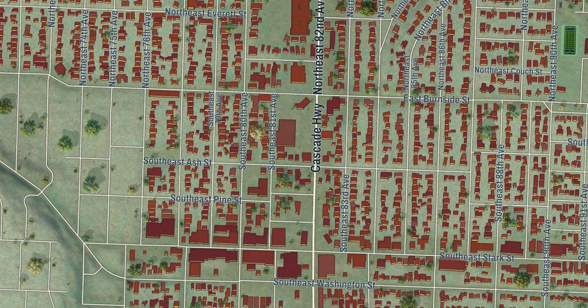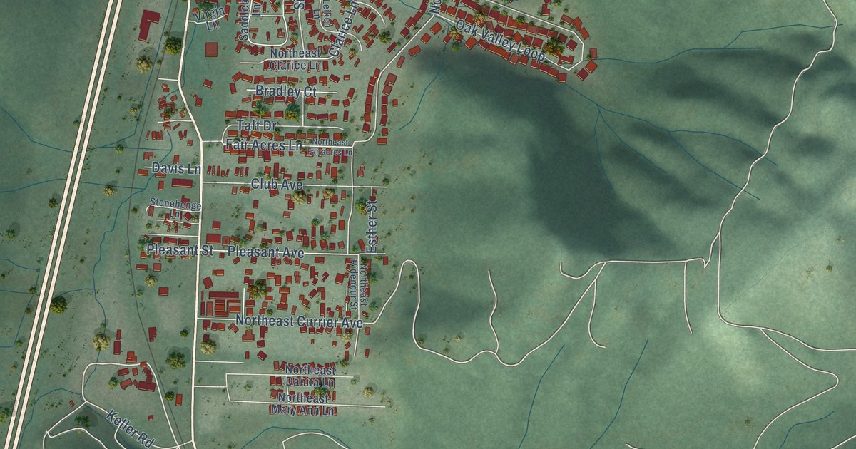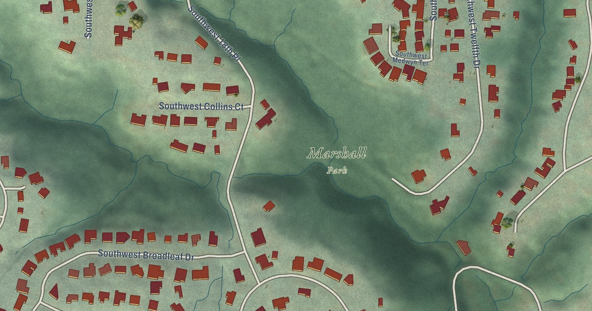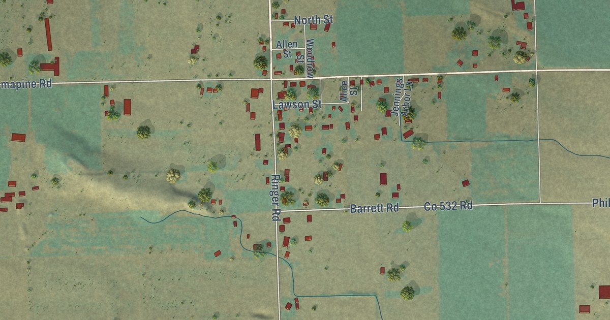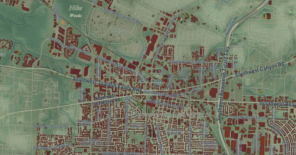
This beautifully detailed map of Beaverton, Oregon was created in 2026 using aerial imagery combined with modern topographical, census, street and landmark data. It’s a one-of-a-kind view of Beaverton that combines accurate data with a vintage aesthetic. The map shows every building in its true location, many of the roads carry their names, and the shaded topographic relief shows the shape of the land.
Explore an aerial view of Beaverton, Oregon
On the map you’ll find Downtown Beaverton, Nike Woods, Bradley Corner, Elmonica, Garden Home, Huber, Marlene Village, Progress, Raleigh Hills, West Slope, and Whitford, along with Southwest Sunset Highway, and more. If you look closely you can even find your house accurately drawn in its correct location. Zoom in on the preview to look for yours.
Did you know this piece of Beaverton, Oregon history?
From Oregonencyclopedia.org: "At the same time, Bill Bowerman and Phil Knight selected Beaverton as the location for Nike headquarters, named Niketown, which in 2021 includes seventy-five buildings across three hundred acres."
Beaverton is a city in Washington County.
Take a closer look at the Beaverton map
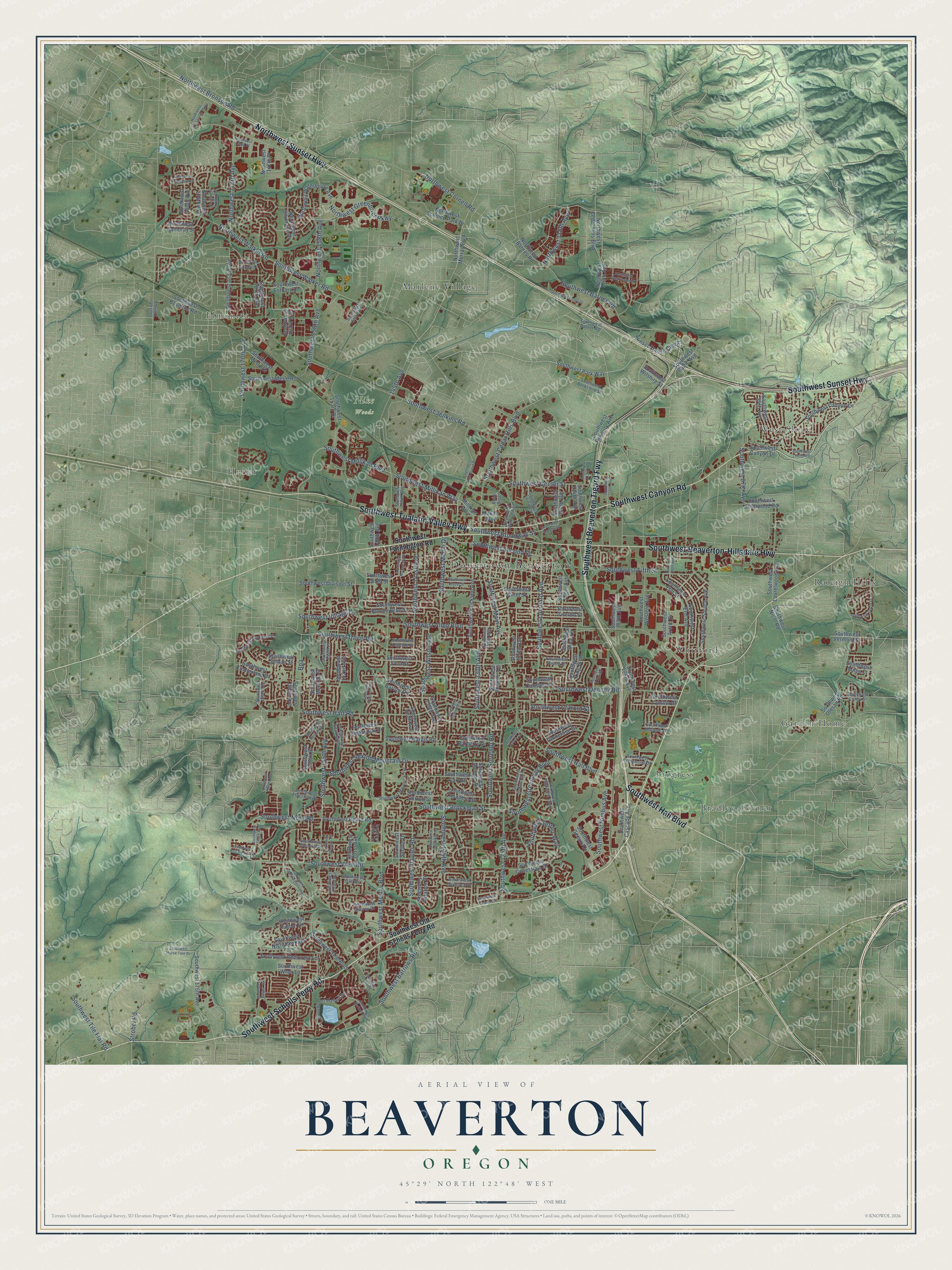
Street and place names on the Beaverton, Oregon map
These names are printed on the map of Beaverton, Oregon.
Places: Downtown Beaverton, Nike Woods, Bradley Corner, Elmonica, Garden Home, Huber, Marlene Village, Progress, Raleigh Hills, West Slope and Whitford.
Streets and roads: Southwest Sunset Highway, Northwest Sunset Highway, Southwest Beaverton Tigard Fwy, Southwest Scholls Ferry Road, Southwest Canyon Road, Southwest Tualatin Valley Highway, Southwest Beaverton-Hillsdale Highway, Southwest Hall Boulevard, Southwest Murray Boulevard, Southwest Wilson Avenue, Southwest Allen Boulevard, Southwest 170th Avenue.
More street names, A to Z
145th Avenue, Bpa, Milkan Way, Millikan Way, Northwest 112th Avenue, Northwest 118th Avenue, Northwest 158th Avenue, Northwest 167th Place, Northwest 169th Place, Northwest 173rd Avenue, Northwest 176th Avenue, Northwest 178th Avenue, Northwest 180th Avenue, Northwest Barnes Road, Northwest Bronson Road, Northwest Cambray Street, Northwest Cedar Hills Boulevard, Northwest Cornell Road, Northwest Evergreen Parkway, Northwest Fieldstone Drive, Northwest Greenbrier Parkway, Northwest Murray Boulevard, Northwest Science Park Drive, Northwest Silverado Drive, Northwest Walker Road, Northwest Waterhouse Avenue, Prestons Crossing, Rose Biggi, Southwest 22nd Street, Southwest 84th Avenue, Southwest 87th Avenue, Southwest 99th Avenue, Southwest 105th Avenue, Southwest 107th Avenue, Southwest 110th Avenue, Southwest 111th Street, Southwest 113th Avenue, Southwest 114th Avenue, Southwest 117th Avenue, Southwest 123rd Court, Southwest 124th Avenue, Southwest 125th Avenue, Southwest 130th Avenue, Southwest 135th Avenue, Southwest 136th Avenue, Southwest 140th Avenue, Southwest 141st Avenue, Southwest 144th Avenue, Southwest 146th Terrace, Southwest 148th Avenue, Southwest 151st Avenue, Southwest 152nd Avenue, Southwest 153rd Avenue, Southwest 153rd Drive, Southwest 154th Place, Southwest 155th Avenue, Southwest 158th Avenue, Southwest 158th Place, Southwest 160th Avenue, Southwest 163rd Avenue, Southwest 165th Avenue, Southwest 166th Avenue, Southwest 166th Terrace, Southwest 167th Avenue, Southwest 173rd Avenue, Southwest 175th Avenue, Southwest 185th Avenue, Southwest Alger Avenue, Southwest Alice Lane, Southwest Arctic Drive, Southwest Baltic Avenue, Southwest Barberry Drive, Southwest Barlow Road, Southwest Barnard Drive, Southwest Barnes Road, Southwest Barrows Road, Southwest Baseline Road, Southwest Beard Road, Southwest Berkshire Street, Southwest Birchwood Road, Southwest Bonnie Brae Street, Southwest Breccia Drive, Southwest Broadway, Southwest Broadway Street, Southwest Brockman Street, Southwest Bruce Drive, Southwest Buckskin Terrace, Southwest Butner Road, Southwest Camden Lane, Southwest Canby Street, Southwest Canyon Drive, Southwest Canyon Lane, Southwest Carolwood Drive, Southwest Carr Street, Southwest Cascade Avenue, Southwest Cedar Hills Boulevard, Southwest Center Street, Southwest Citation Drive, Southwest Clifford Street, Southwest Conestoga Drive, Southwest Corby Drive, Southwest Crestwood Drive, Southwest Cynthia Street, Southwest Dale Avenue, Southwest Daphne Street, Southwest Davies Road, Southwest Davis Road, Southwest Deercrest Lane, Southwest Denney Road, Southwest Division Street, Southwest Dover Lane, Southwest Elm Avenue, Southwest Elm Street, Southwest Erickson Avenue, Southwest Estuary Drive, Southwest Falcon Drive, Southwest Farmington Road, Southwest Fifth Street, Southwest Flagstone Drive, Southwest Gearhart Drive, Southwest Gemini Drive, Southwest Green Lane, Southwest Greenway Boulevard, Southwest Gull Drive, Southwest Hargis Road, Southwest Hart Road, Southwest Haystack Drive, Southwest Hazel Street, Southwest Horizon Boulevard, Southwest Horse Tale Drive, Southwest Hyland Way, Southwest Indian Hill Lane, Southwest Ivy Glen Street, Southwest Jaeger Terrace, Southwest Jenkins Road, Southwest Juniper Terrace, Southwest Karl Braun Drive, Southwest Kattegat Drive, Southwest King Boulevard, Southwest Koll Parkway, Southwest Laurelwood Avenue, Southwest Linden Road, Southwest Lombard Avenue, Southwest Main Avenue, Southwest Mallard Drive, Southwest Marjorie Lane, Southwest Maverick Terrace, Southwest Melinda Street, Southwest Menlo Drive, Southwest Merlo Drive, Southwest Merlo Road, Southwest Miles Court, Southwest Millikan Boulevard, Southwest Millikan Way, Southwest Morgan Drive, Southwest Nicol Road, Southwest Nighthawk Drive, Southwest Nimbus Avenue, Southwest Ninth Street, Southwest Nora Road, Southwest Normandy Place, Southwest Old Scholls Ferry Road, Southwest Oleson Road, Southwest Osprey Drive, Southwest Palmer Way, Southwest Parkview Loop, Southwest Park Way, Southwest Red Rock Way, Southwest Roxbury Avenue, Southwest Saddle Drive, Southwest Second Street, Southwest Settler Way, Southwest Sexton Mountain Drive, Southwest Shearwater Loop, Southwest Sixth Street, Southwest Sorrento Road, Southwest Spruce Avenue, Southwest Stirrup Street, Southwest Sumac Street, Southwest Tapadera Street, Southwest Tarpan Drive, Southwest Teal Boulevard, Southwest Tephra Terrace, Southwest Tile Flat Road, Southwest Timberland Drive, Southwest Timberline Drive, Southwest Twelfth Street, Southwest Vermont Street, Southwest Village Lane, Southwest Walker Road, Southwest Washington Street, Southwest Watson Avenue, Southwest Weir Road, Southwest Western Avenue, Southwest Wilshire Street, Southwest Wren Lane, Strobel Road, Sunset Transit Center.
See the Beaverton, Oregon map on a wall
The Beaverton map as an 18 x 24 inch print in a black frame.

This beautifully detailed map of Beaverton makes an attractive addition to your office, library, or den, and it can even be used to teach children the geography and history of the area. It also makes a great gift for anyone with Beaverton roots. When you’re done exploring, click here to get your copy of the Beaverton map.