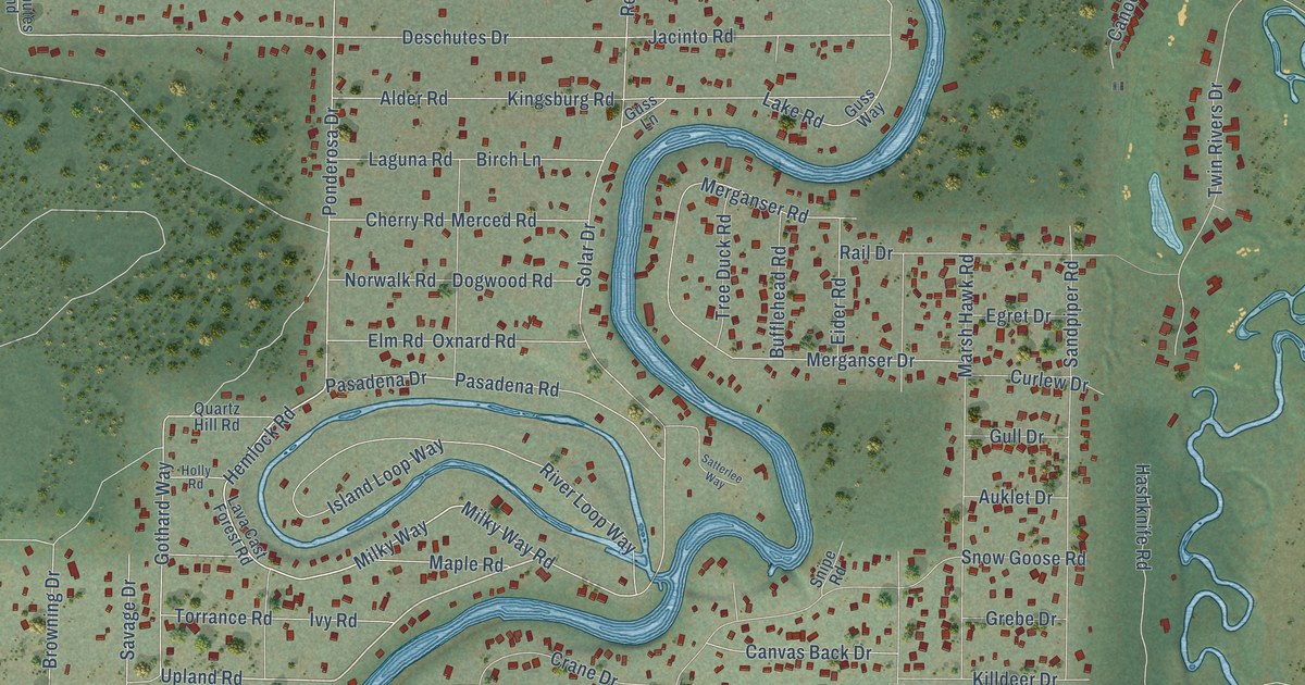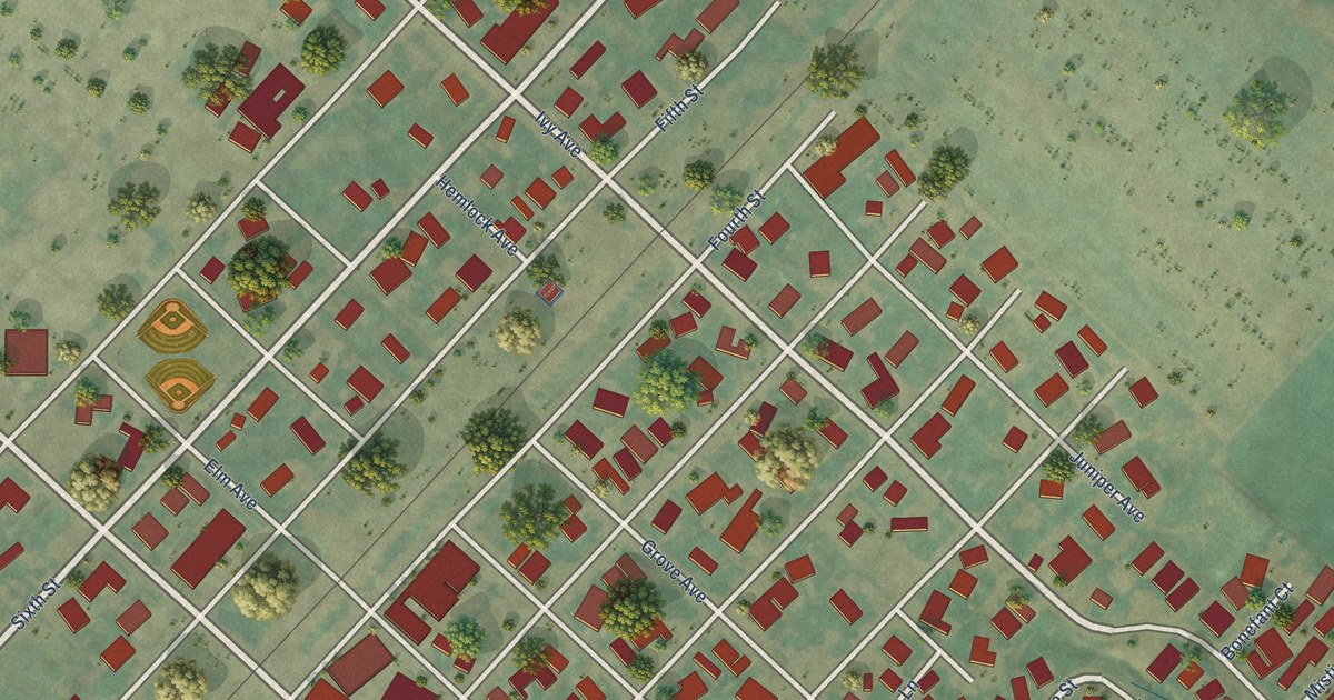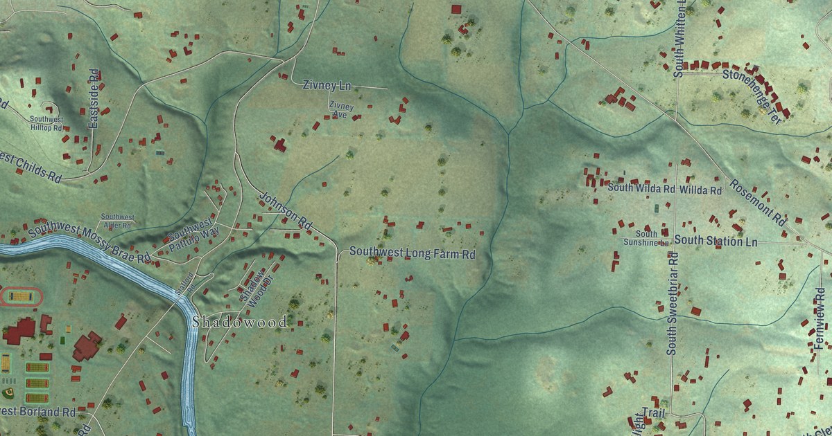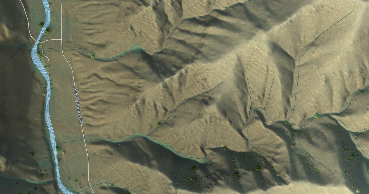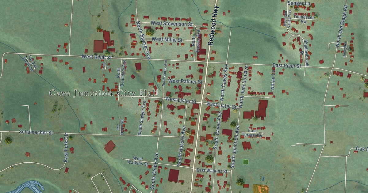
This beautifully detailed map of Cave Junction, Oregon was created in 2026 using aerial imagery combined with modern topographical, census, street and landmark data. It’s a one-of-a-kind view of Cave Junction that combines accurate data with a vintage aesthetic. The map shows every building in its true location, many of the roads carry their names, and the shaded topographic relief shows the shape of the land.
Explore an aerial view of Cave Junction, Oregon
On the map you’ll find Cave Junction City Hall, along with Redwood Highway, Caves Highway, West Lister Street, East Lister Street, Ollis Road, North Caves Avenue, West River Street, North Old Stage Road, East River Street, South Junction Avenue, Schumacher Street, and more. If you look closely you can even find your house accurately drawn in its correct location. Zoom in on the preview to look for yours.
Did you know this piece of Cave Junction, Oregon history?
From Oregonencyclopedia.org: "As the town of Caves City (later Cave Junction) grew, Grants Pass business interests established the Oregon Caves Company, which built a resort at the caves and operated as a concessionaire to the National Park Service until 1976."
Cave Junction is a city in Josephine County.
Take a closer look at the Cave Junction map
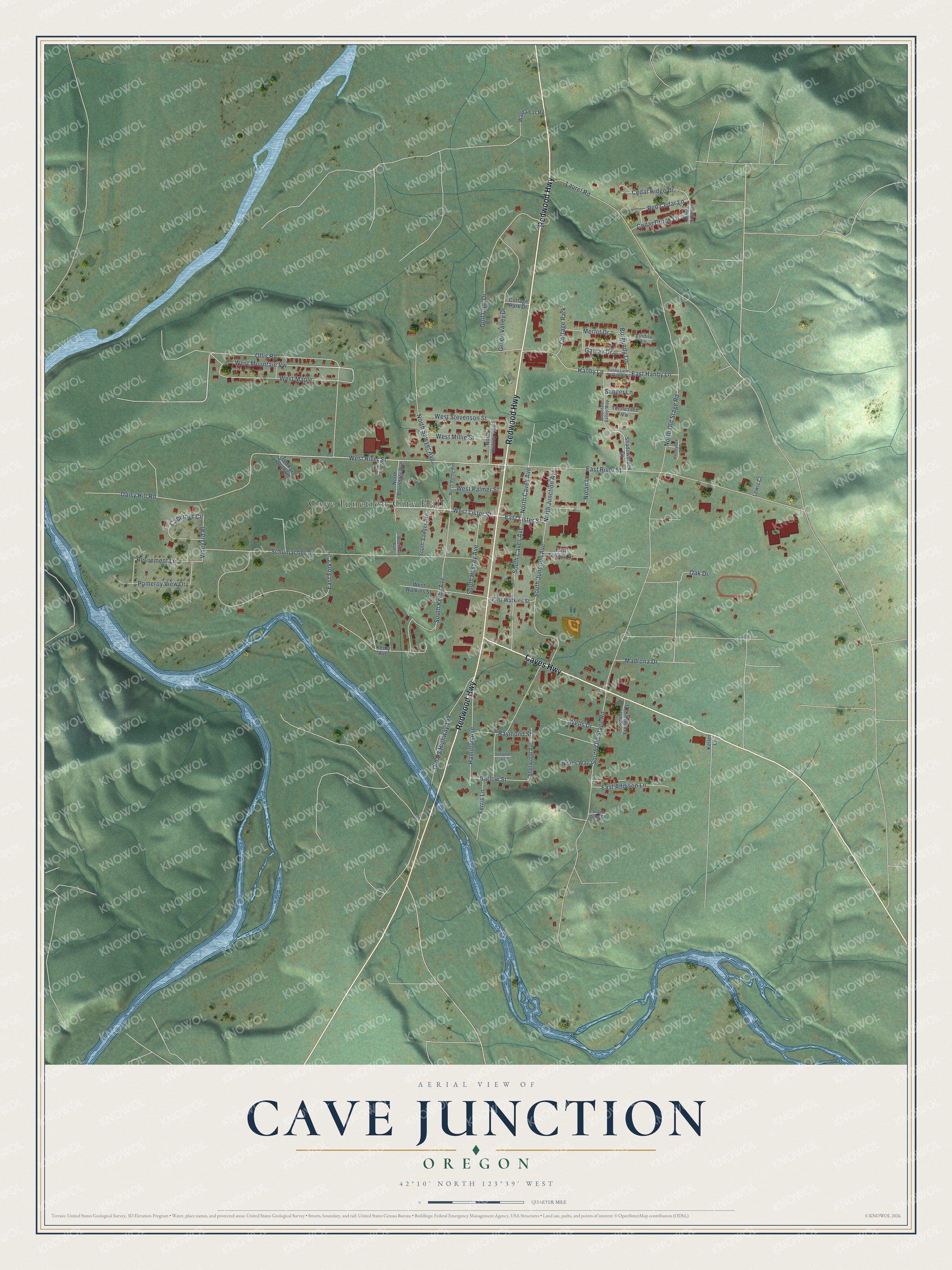
Street and place names on the Cave Junction, Oregon map
These names are printed on the map of Cave Junction, Oregon.
Places: Cave Junction City Hall and Cottage Park.
Streets and roads: Redwood Highway, Caves Highway, West Lister Street, East Lister Street, Ollis Road, North Caves Avenue, West River Street, North Old Stage Road, East River Street, South Junction Avenue, Schumacher Street, South Old Stage Road.
More street names, A to Z
Barlow Street, Boundary Avenue, Burgundy Lane, Cabernet Circle, Cedar Brook Lane, Cedar Ridge Drive, Cottage Park Drive, Daisy Hill Road, East Addison Lane, East Fork Circle, East Hanby Lane, East Terrace Drive, East Watkins Street, Ferris Lane, Gamay Drive, Golf Club Drive, Green Valley Drive, Hamilton Avenue, Hanby Lane, Hanby Lane Extended, Honeybee Lane, Jonathan Court, Keller Lane, Kerby Avenue, Laurel Road, Lewis Court, Lindilu Lane, Madrona Drive, Manor Ridge Drive, Merlot Drive, Mountain Valley Way, Noahs Way, Nolan Lane, North Boundary Avenue, North Hussey Avenue, North Junction Avenue, North Kerby Avenue, North Sawyer Avenue, Oak Drive, Old US Highway 199, Pomeroy View Drive, Raymond Street, Red Cedar Lane, Retirement Lane, Sanger Lane, Shadowbrook Drive, Sherwood Avenue, South Caves Avenue, South Frederick Court, South Hussey Avenue, South Kerby Avenue, South Sawyer Avenue, Stage Stop Drive, Tennessee Vw, Too Far South Lane, Tracy Lane, Vineyard Place, Waldamar Road, Wells Drive, West Maple, West Millie Street, West Mountain Vw, West Palmer Street, West Stevenson Street, West Watkins Street.
See the Cave Junction, Oregon map on a wall
The Cave Junction map as an 18 x 24 inch print in a black frame.

This beautifully detailed map of Cave Junction makes an attractive addition to your office, library, or den, and it can even be used to teach children the geography and history of the area. It also makes a great gift for anyone who grew up in Cave Junction or moved away. When you’re done exploring, click here to get your copy of the Cave Junction map.