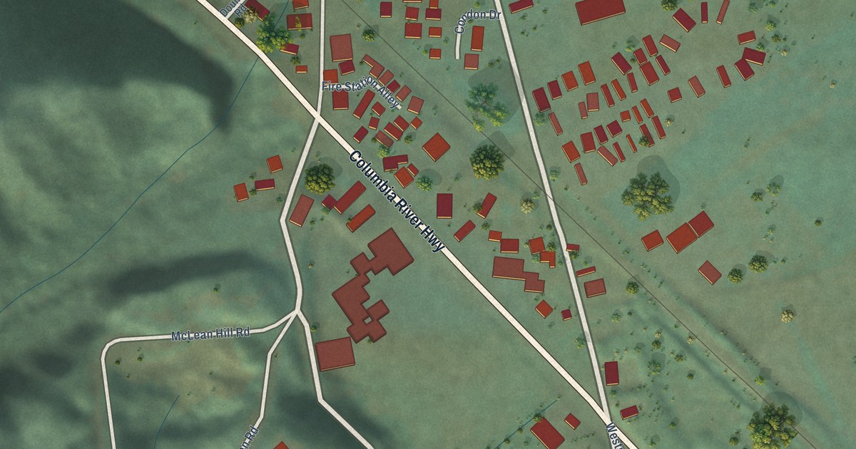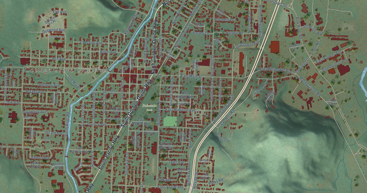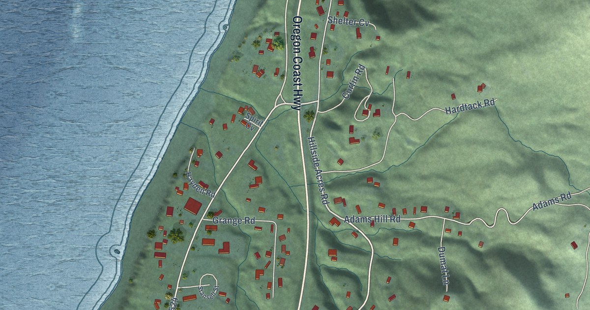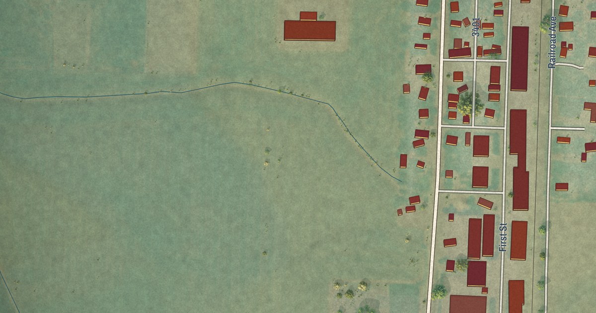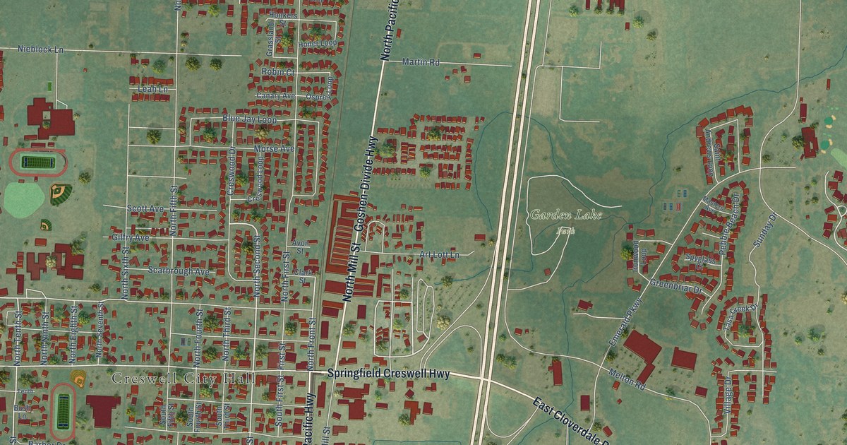
This beautifully detailed map of Creswell, Oregon was created in 2026 using aerial imagery combined with modern topographical, census, street and landmark data. It’s a one-of-a-kind view of Creswell that combines accurate data with a vintage aesthetic. The map shows every building in its true location, many of the roads carry their names, and the shaded topographic relief shows the shape of the land.
Explore an aerial view of Creswell, Oregon
On the map you’ll find Creswell City Hall, Emerald Valley Golf Course, and Garden Lake Park, along with Springfield Creswell Highway, South Front Street, North Pacific Highway, Cloverdale Road, Goshen-Divide Highway, East Cloverdale Road, North Mill Street, Creswood Drive, North Tenth Street, and more. If you look closely you can even find your house accurately drawn in its correct location. Zoom in on the preview to look for yours.
Did you know this piece of Creswell, Oregon history?
From the National Register of Historic Places: "In 1874, the City of Creswell oversaw the construction of its first public building, a schoolhouse."
Creswell is a city in Lane County.
Take a closer look at the Creswell map
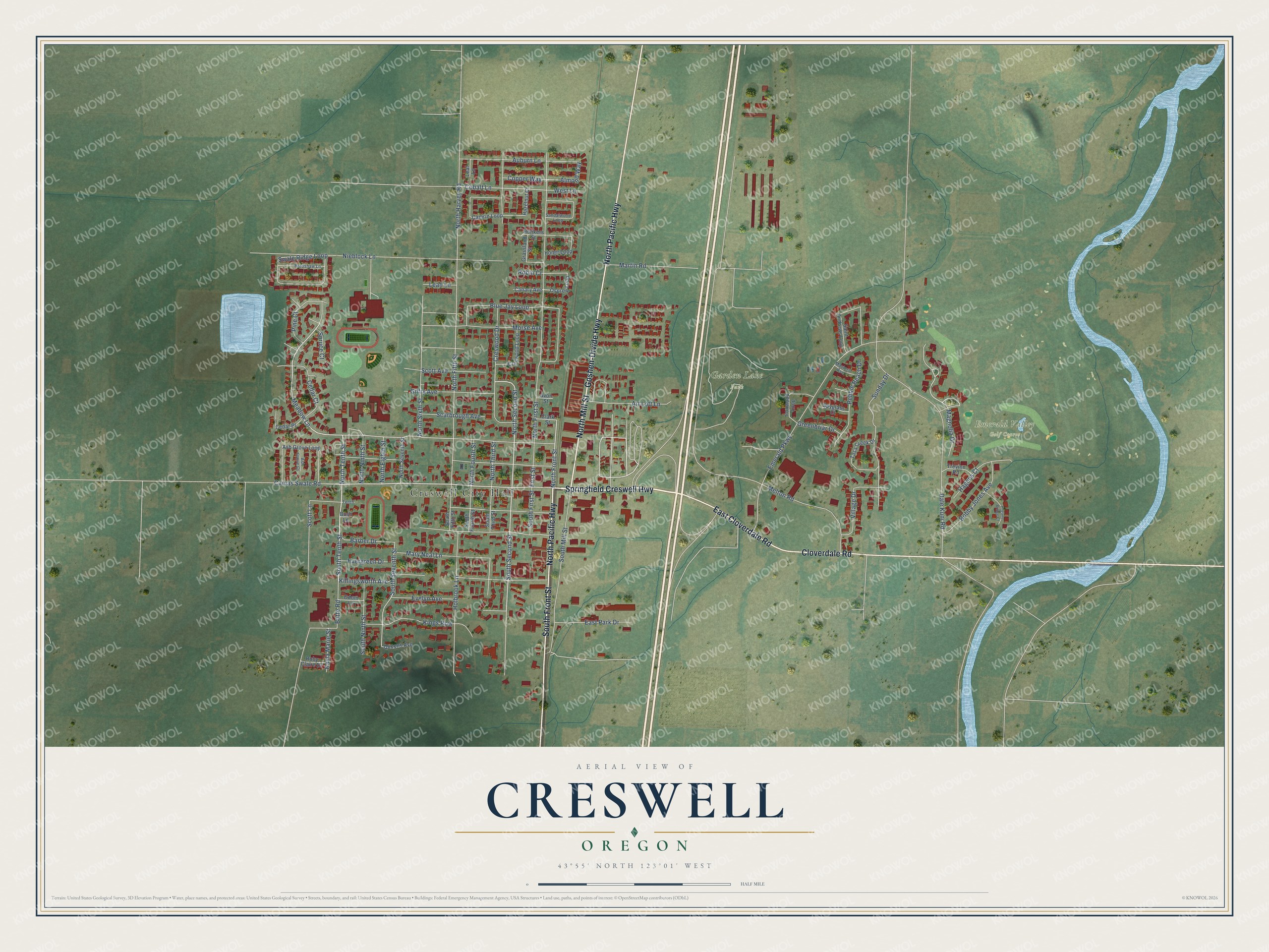
Street and place names on the Creswell, Oregon map
These names are printed on the map of Creswell, Oregon.
Places: Creswell City Hall, Emerald Valley Golf Course and Garden Lake Park.
Streets and roads: Springfield Creswell Highway, South Front Street, North Pacific Highway, Cloverdale Road, Goshen-Divide Highway, East Cloverdale Road, North Mill Street, Creswood Drive, North Tenth Street, South Tenth Street, North Second Street, Meadow Lane.
More street names, A to Z
Almond Way, Art Lott Lane, Ash Grove Court, Ash Grove Loop, Auburn Lane, Avon Street, Barber Drive, Blue Jay Loop, Bobby Jones Avenue, Bradshaw Lane, Bush Lane, Butte Road, Camas Swale Road, Camrin Loop, Canary Avenue, Cedar Court, Cedar Place, Clark Street, Cobalt Lane, Copper Way, Creswood Loop, Dale Kuni Road, East Park Drive, Emerald Parkway, Evelyn Avenue, Evergreen Drive, First Street, Gilfry Avenue, Grassland Street, Greenbriar Drive, Hagens Court, Hazelnut Court, Hogans Bridge Court, Holbrook Lane, Honer Loop, Honkers Street, Ironwood Loop, Kayla Marie Street, Killingsworth Avenue, Kings Row, Leaf Lane, Leah Lane, Magnolia Drive, Martin Road, Mary Neal Lane, Masters Avenue, Melton Road, Morse Avenue, Nieblock Lane, North Eighth Street, North Fifth Street, North First Street, North Fourth Street, North Front Street, North Harvey Road, North Ninth Street, North Seventh Street, North Sixth Street, North Third Street, Odom Lane, Osprey Loop, Pebble Beach Drive, Pine Court, Queens Avenue, Robin Court, Ruby Claire Drive, Saint Andrews Loop, Sandalwood Loop, Scarbrough Avenue, Scott Avenue, Scott Lane, South Fifth Street, South First Street, South Fourth Street, South Mill Street, South Ninth Street, South Second Street, South Seventh Street, South Third Street, Spruce Court, Spyglass Court, Sunday Drive, Swale Ridge Loop, Tasa Creek Drive, Tenth, Trevino Road, Village Drive, West Lane.
See the Creswell, Oregon map on a wall
The Creswell map as an 18 x 24 inch print in a black frame.

This beautifully detailed map of Creswell makes an attractive addition to your office, library, or den, and it can even be used to teach children the geography and history of the area. It also makes a great gift for anyone with Creswell roots. When you’re done exploring, click here to get your copy of the Creswell map.