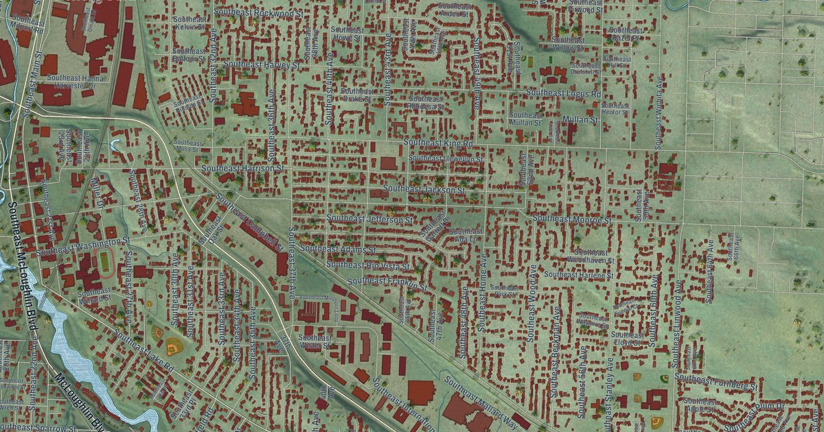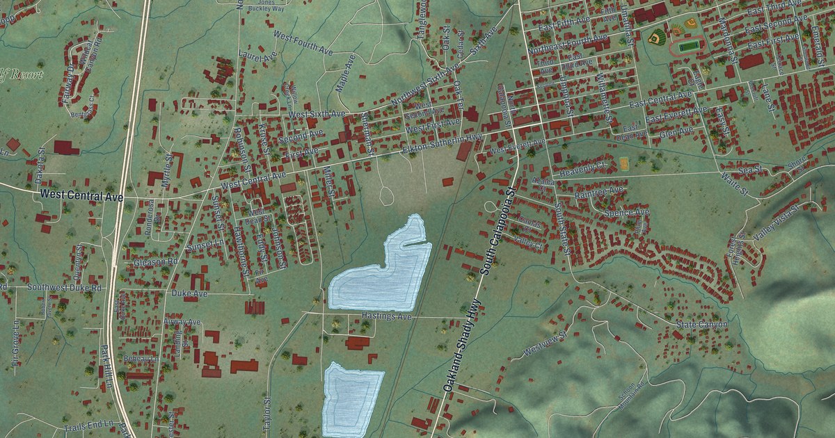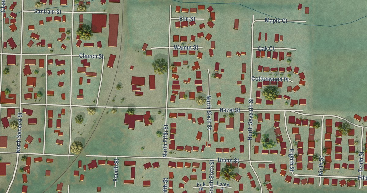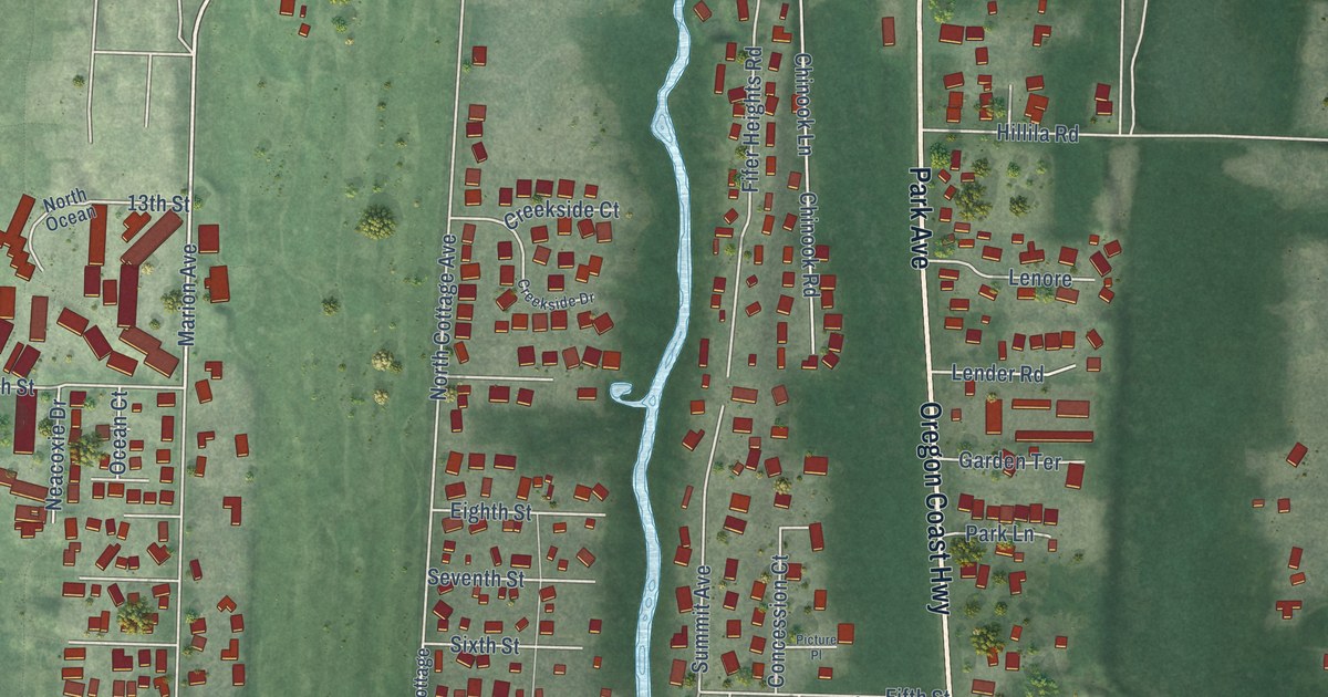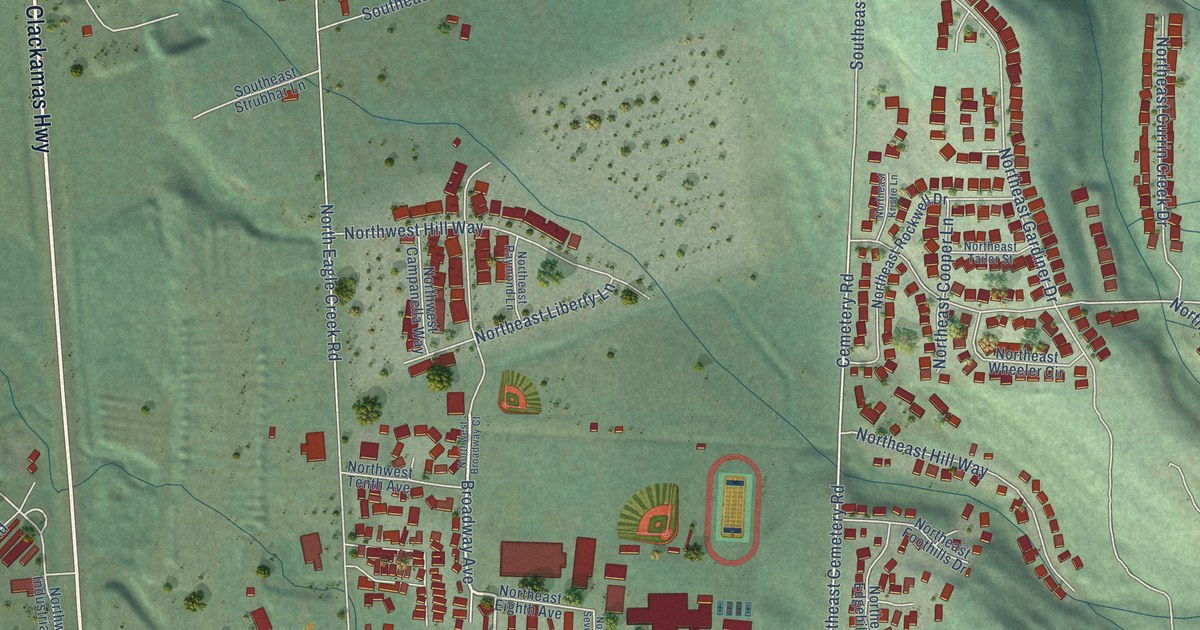
This beautifully detailed map of Estacada, Oregon was created in 2026 using aerial imagery combined with modern topographical, census, street and landmark data. It’s a one-of-a-kind view of Estacada that combines accurate data with a vintage aesthetic. The map shows every building in its true location, many of the roads carry their names, and the shaded topographic relief shows the shape of the land.
Explore an aerial view of Estacada, Oregon
On the map you’ll find City Hall and Currinsville, along with Clackamas Highway, North Broadway Street, Broadway Avenue, West First Avenue, Southeast Fourth Avenue, Northeast First Avenue, Broadway Street, Cemetery Road, Northeast Cemetery Road, Northeast Ginseng Drive, and more. If you look closely you can even find your house accurately drawn in its correct location. Zoom in on the preview to look for yours.
Did you know this piece of Estacada, Oregon history?
Estacada began as a work camp for crews building a dam on the Clackamas River. The dam was meant to supply electricity to Portland. After the Hotel Estacada opened, Portland residents came out by train for weekends. Later the town became a hub for logging.
Estacada is a city in Clackamas County.
Take a closer look at the Estacada map
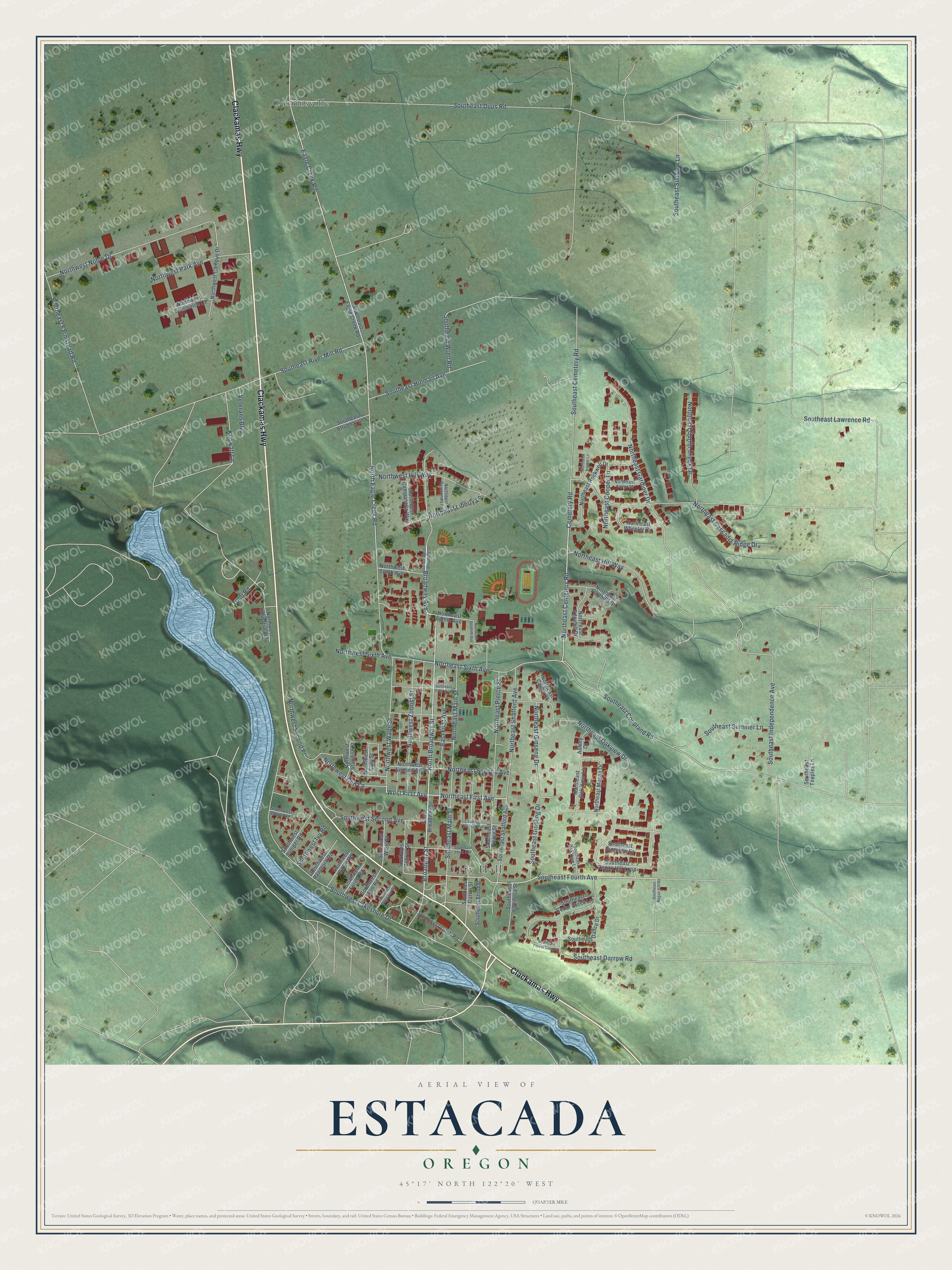
Street and place names on the Estacada, Oregon map
These names are printed on the map of Estacada, Oregon.
Places: City Hall and Currinsville.
Streets and roads: Clackamas Highway, North Broadway Street, Broadway Avenue, West First Avenue, Southeast Fourth Avenue, Northeast First Avenue, Broadway Street, Cemetery Road, Northeast Cemetery Road, Northeast Ginseng Drive, Northeast Sixth Avenue, Southwest Lakeshore Drive.
More street names, A to Z
Ashley Court, Eagle Creek Road, East First Avenue, Kilowatt Lane, North Eagle Creek Road, Northeast Caden Court, Northeast Cascadia Ridge Drive, Northeast Cooper Lane, Northeast Currin Creek Drive, Northeast Edgehill Drive, Northeast Eighth Avenue, Northeast Fifth Avenue, Northeast Foothills Drive, Northeast Gardiner Drive, Northeast Hill Way, Northeast Kristie Lane, Northeast Liberty Lane, Northeast Main Street, Northeast Megan Drive, Northeast Oakview Drive, Northeast Oak View Lane, Northeast Pierce Street, Northeast Raymond Lane, Northeast Rockwell Drive, Northeast Second Avenue, Northeast Seventh Avenue, Northeast Shafford Avenue, Northeast Tailor Street, Northeast Wheeler Circle, Northwest Broadway Court, Northwest Campanella Way, Northwest Campus Drive, Northwest Cary Street, Northwest Cliff Lane, Northwest Commerce Court, Northwest Hill Way, Northwest Industrial Way, Northwest Noble Drive, Northwest Park Avenue, Northwest Second Avenue, Northwest Second Place, Northwest Sixth Avenue, Northwest Standish Street, Northwest Tenth Avenue, Northwest Wade Street, Northwest Zobrist Street, South Broadway Street, Southeast Cedar Creek Lane, Southeast Cemetery Road, Southeast Coupland Road, Southeast Currin Street, Southeast Dance Drive, Southeast Darrow Road, Southeast Duus Road, Southeast Eagle Creek Road, Southeast Espinosa Street, Southeast Farmstead Road, Southeast Forest Glen Road, Southeast Ginseng Drive, Southeast Hinman Avenue, Southeast Independence Avenue, Southeast Lawrence Road, Southeast Main Street, Southeast Oak View Lane, Southeast Pierce Street, Southeast Pineview Court, Southeast Regan Hill Loop, Southeast Regan Hill Road, Southeast River Mill Road, Southeast Second Avenue, Southeast Shafford Avenue, Southeast Short Street, Southeast Strubhar Lane, Southeast Summer Lane, Southeast Sunview Lane, Southeast Teeples Lane, Southeast Third Avenue, Southeast Wren Road, Southwest Dogwood Road, Southwest Elm Road, Southwest Forest Road, Southwest Grove Road, Southwest Hawthorn Road, Southwest Ivy Road, Southwest Juniper Road, Southwest Larch Road, Southwest Laurel Road, Southwest Second Avenue, Southwest Wade Street, Southwest Zobrist Street, Tulip Road, Veterans Boulevard.
See the Estacada, Oregon map on a wall
The Estacada map as an 18 x 24 inch print in a black frame.

This beautifully detailed map of Estacada makes an attractive addition to your office, library, or den, and it can even be used to teach children the geography and history of the area. It also makes a great gift for someone who left Estacada and still calls it home. When you’re done exploring, click here to get your copy of the Estacada map.