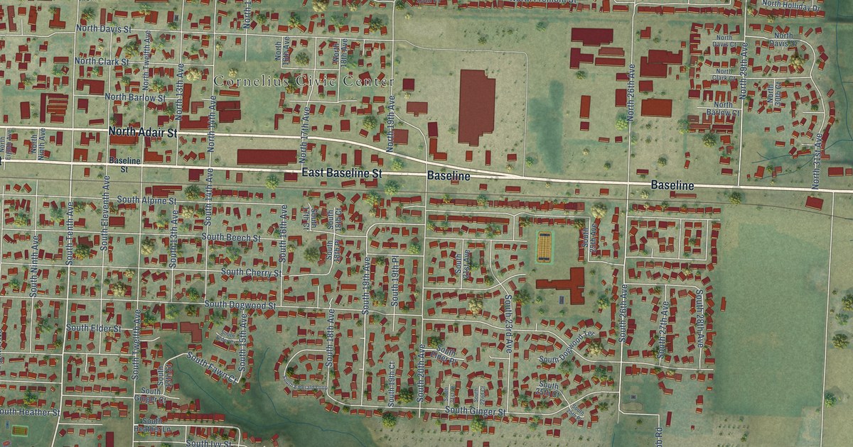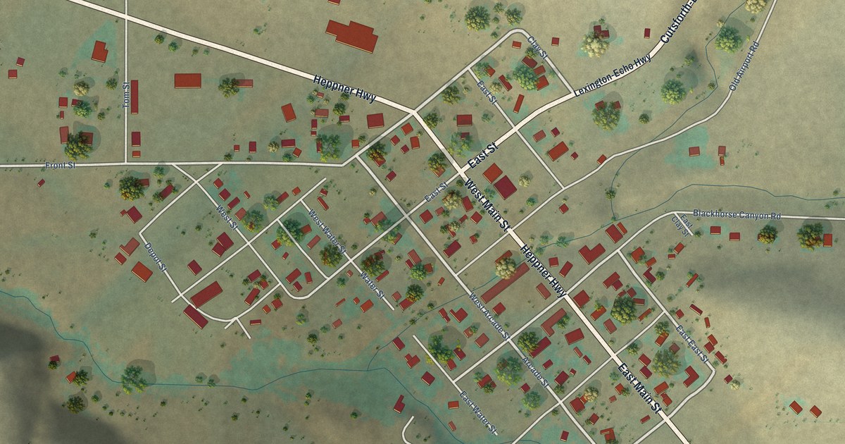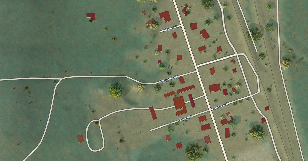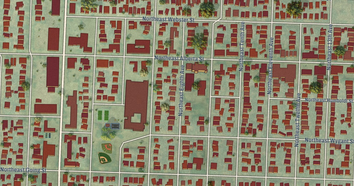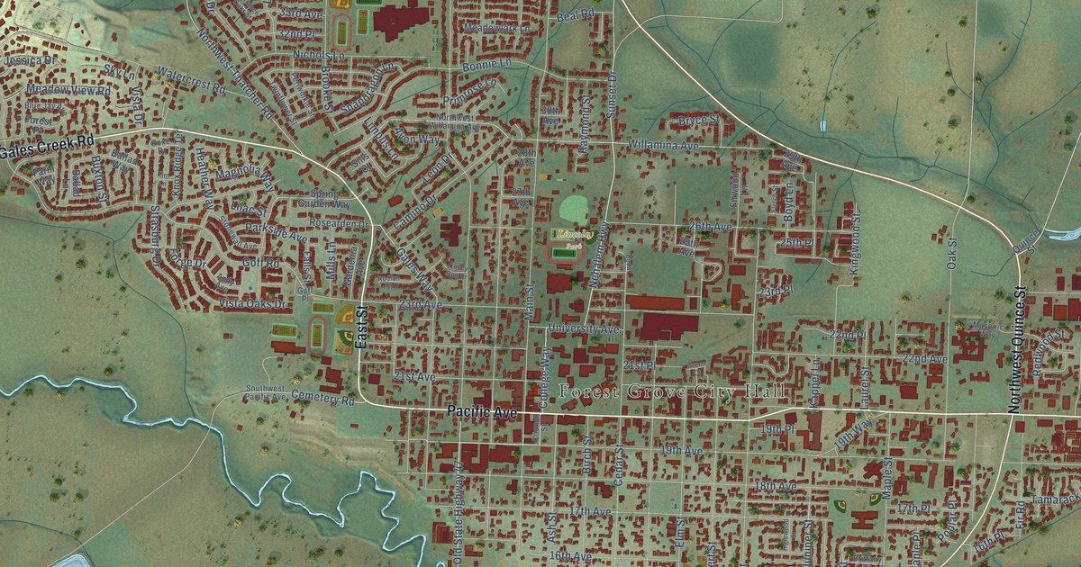
This beautifully detailed map of Forest Grove, Oregon was created in 2026 using aerial imagery combined with modern topographical, census, street and landmark data. It’s a one-of-a-kind view of Forest Grove that combines accurate data with a vintage aesthetic. The map shows every building in its true location, many of the roads carry their names, and the shaded topographic relief shows the shape of the land.
Explore an aerial view of Forest Grove, Oregon
On the map you’ll find Forest Grove City Hall, Carnation, Fernhill Wetlands, and Lincoln Park, along with Pacific Avenue, East Street, Gales Creek Road, Northwest Quince Street, Tualatin Valley Highway, Nehalem Highway, Beal Road, Juniper Street, and more. If you look closely you can even find your house accurately drawn in its correct location. Zoom in on the preview to look for yours.
Did you know this piece of Forest Grove, Oregon history?
From Oregonencyclopedia.org: "The Oregon Electric Railroad came to Forest Grove proper in 1908, and the Southern Pacific Railroad followed in 1912."
Forest Grove is a city in Washington County.
Take a closer look at the Forest Grove map
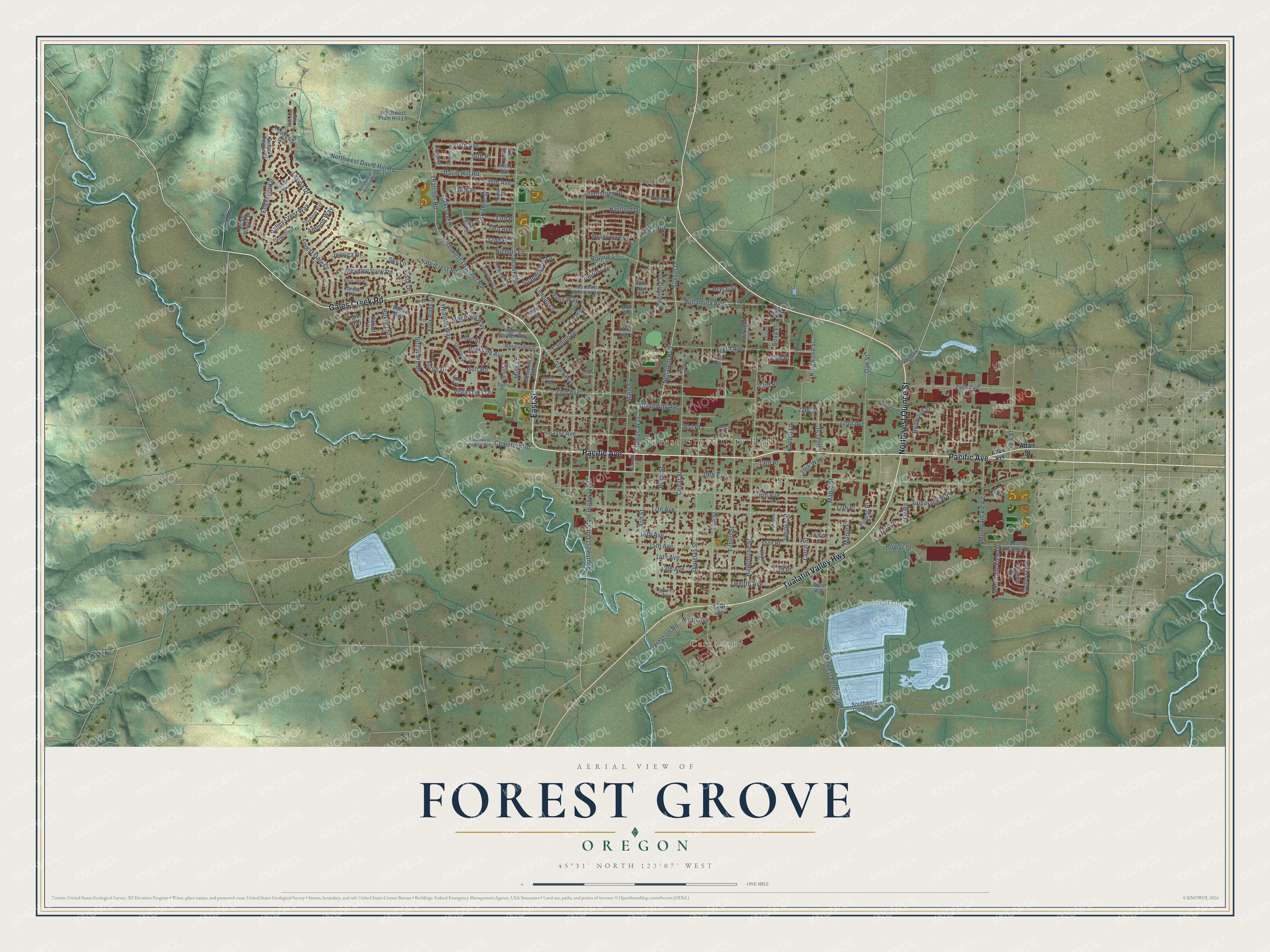
Street and place names on the Forest Grove, Oregon map
These names are printed on the map of Forest Grove, Oregon.
Places: Forest Grove City Hall, Carnation, Fernhill Wetlands and Lincoln Park.
Streets and roads: Pacific Avenue, East Street, Gales Creek Road, Northwest Quince Street, Tualatin Valley Highway, Nehalem Highway, Beal Road, Juniper Street, Main Street, 35th Avenue, Cemetery Road, 17th Place.
More street names, A to Z
13th Avenue, 13th Place, 14th Avenue, 15th Avenue, 15th Place, 16th Avenue, 16th Place, 17th Avenue, 18th Avenue, 19th Avenue, 19th Place, 19th Way, 21st Avenue, 21st Place, 22nd Avenue, 22nd Place, 23rd Avenue, 23rd Place, 24th Avenue, 25th Avenue, 25th Place, 26th Avenue, 27th Avenue, 28th Avenue, 29th Avenue, 30th Avenue, 32nd Place, 33rd Avenue, 33rd Place, 34th Place, 36th Avenue, 36th Place, 37th Avenue, Adair Avenue, Adair Street, Ammon Way, Andy Avenue, Ash Street, Avon Way, Ballad Lane, Ballad Way, Birch Street, Blue Jay Avenue, Bonnie Lane, Boyd Lane, Brittany Drive, Brooke Street, Bryce Street, Buxton Street, Camino Drive, Candlestick Street, Carnation Road, Cedar Circle, Cedar Street, Circle Crest Drive, College Way, Comiskey Street, Council Street, Covey Run Drive, Crescent Drive, David Hill Road, Douglas Street, Edgeview Lane, Eleventh Avenue, Elm Street, Falls Street, Farm Way, Filbert Street, Fir Road, Firwood Lane, Fletch Street, Forest Gale Drive, Forest Place, Forge Drive, Frontier Way, Gales Way, Gardenia Avenue, Goff Place, Goff Road, Green Court, Hartford Drive, Hawthorne Street, Heather Way, Hillside Way, Hoodview Drive, Huntsman Way, Inglewood Street, Jessica Drive, Kappel Lane, Kim Lane, Kingwood Street, Knighton Way, Knox Ridge Terrace, Larch Street, Larrabee Oaks Street, Larrabee Street, Laurel Street, Lavina Drive, Leon Drive, Lilac Street, Limpus Lane, Magnolia Way, Maple Place, Maple Street, Masonic Way, Meadowlark Lane, Meadow View Road, Mills Lane, Mountain View Drive, Mountain View Lane, Nichols Lane, Ninth Avenue, Northwest Antler Drive, Northwest Creekwood Place, Northwest David Hill Road, Northwest Plum Hill Lane, Northwest Thatcher Road, Northwest Willamina Avenue, Oakcrest Drive, Oak Street, Parkside Avenue, Periwinkle Street, Poplar Place, Poplar Street, Primrose Lane, Quince Street, Raymond Street, Redwood Street, Ridge Pointe Drive, Rodlun Court, Rosearden Drive, Roxe Drive, Settlers Loop, Shibe Street, Sills Court, Silverstone Drive, Silverstone Street, Sky Lane, Snapdragon Lane, South Heather Street, Southwest Fern Hill Road, Southwest Geiger Road, Southwest Old State Highway 47, Southwest Pacific Avenue, Spring Garden Way, Spur Street, Stonewall Avenue, Strasburg Drive, Summit Pointe Court, Sunset Drive, Tamarack Way, Taylor Way, Tenth Avenue, Thatcher Road, Twelfth Avenue, Twinflower Street, University Avenue, Valley Crest Way, Vista Drive, Vista Oaks Drive, Watercrest Road, Willamina Avenue, Yew Court, Yew Street.
See the Forest Grove, Oregon map on a wall
The Forest Grove map as an 18 x 24 inch print in a black frame.

This beautifully detailed map of Forest Grove makes an attractive addition to your office, library, or den, and it can even be used to teach children the geography and history of the area. It also makes a great gift for anyone who grew up in Forest Grove or moved away. When you’re done exploring, click here to get your copy of the Forest Grove map.