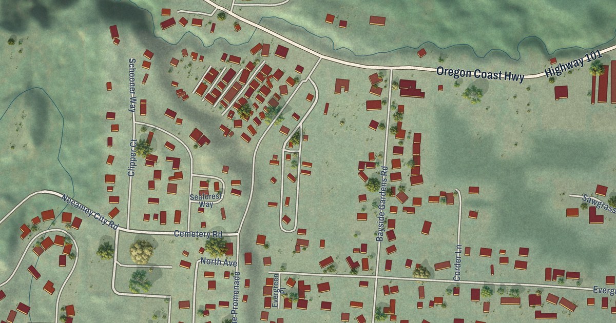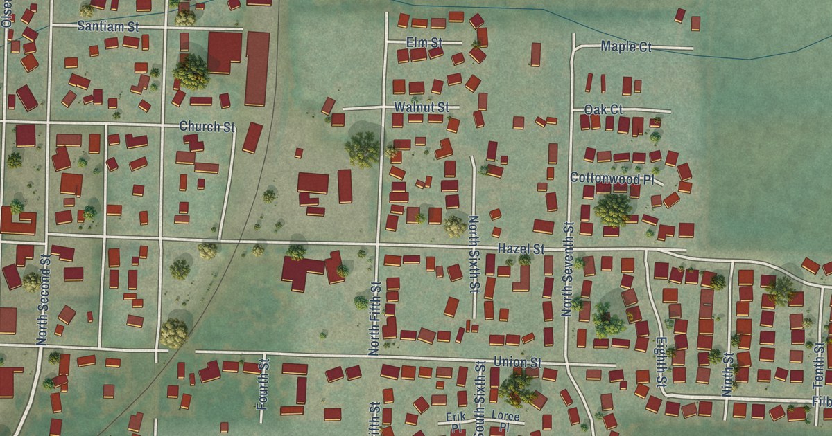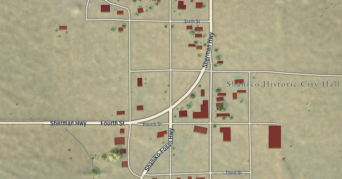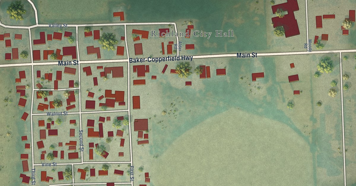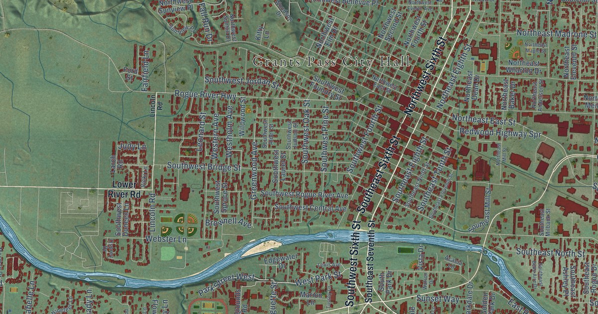
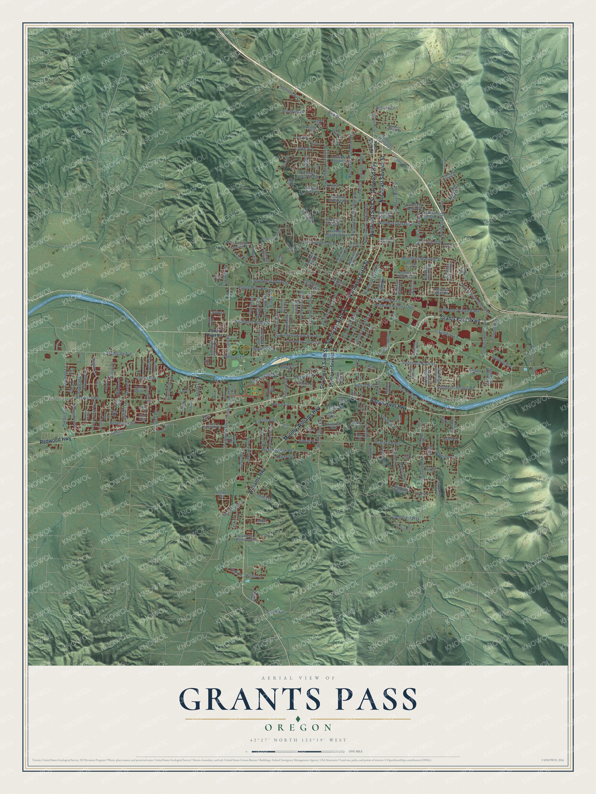
This beautifully detailed map of Grants Pass, Oregon was created in 2026 using aerial imagery combined with modern topographical, census, street and landmark data. It’s a one-of-a-kind view of Grants Pass that combines accurate data with a vintage aesthetic. The map shows every building in its true location, many of the roads carry their names, and the shaded topographic relief shows the shape of the land.
Explore an aerial view of Grants Pass, Oregon
On the map you’ll find Grants Pass City Hall, Fruitdale, and Redwood, along with Redwood Highway, Williams Highway, Murphy-Williams Highway, Rogue River Highway, Northeast Sixth Street, Northwest Sixth Street, Southeast Sixth Street, Southwest Sixth Street, Northeast Seventh Street, and more. If you look closely you can even find your house accurately drawn in its correct location. Zoom in on the preview to look for yours.
Did you know this piece of Grants Pass, Oregon history?
From the Oregon Encyclopedia: "The Grants Pass Irrigation District, formed in 1916, expanded the variety of crops in the region, which included apples, pears, berries, alfalfa, cherries, grapes, hops, and melons."
Grants Pass is a city in Josephine County.
Take a closer look at the Grants Pass map
Street and place names on the Grants Pass, Oregon map
These names are printed on the map of Grants Pass, Oregon.
Places: Grants Pass City Hall, Fruitdale and Redwood.
Streets and roads: Redwood Highway, Williams Highway, Murphy-Williams Highway, Rogue River Highway, Northeast Sixth Street, Northwest Sixth Street, Southeast Sixth Street, Southwest Sixth Street, Northeast Seventh Street, Grants Pass Parkway, West Park Street, Ramsey Avenue.
More street names, A to Z
Abbey Lane, Acacia Lane, Ament Road, Angler Lane, Annabelle Lane, Applegate Avenue, Apple Lane, Arch Court, Aspen Street, Ausland Drive, Autumn Blaze Drive, Axtell Drive, Bailey Drive, Barney Fife Drive, Bill Baker Way, Bishop Street, Bower Lane, Brookhurst Way, Brownell Avenue, Carnahan Drive, Cedar Loop, Churchill Street, Cloverlawn Drive, Cooke Avenue, Coriander Way, Crestview Loop, Crown Street, Cullison Lane, Curtis Drive, Daisy Lane, Darin Drive, Darneille Lane, David Drive, Delsie Drive, Demaray Drive, Denton Trail, Dowell Road, Drury Lane, Dyer Road, East Park Street, East View Place, Edgewater Drive, Espey Road, Esther Lane, Eunice Avenue, Fairfield Lane, Fairgrounds Road, Fall Run Drive, Favill Road, Florer Drive, Flower Lane, Foothill Boulevard, Ford Street, Fruitdale Drive, Gaffney Way, Galaxy Way, George Tweed Boulevard, Glen Crest Way, Golden Park Drive, Grandview Avenue, Greenwood Avenue, Hamilton Lane, Harvest Drive, Haviland Drive, Highland Avenue, Hillpark Place, Hill Top Drive, Hubbard Lane, Hungry Hill Drive, Idle Court, Judy Lane, Kellenbeck Avenue, Kip Lane, Kitty Lane, Kokanee Lane, Landou Lane, Larch Road, Leonard Road, Leonard Street, Lewis Avenue, Liberty Drive, Lilac Avenue, Lincoln Road, Lois Lane, Lower River Road, Maple Lane, Marion Lane, Mayfield Drive, McDonald Lane, Meadow Glen, Medart Lane, Mendi Way, Meridian Way, Mesman Drive, Moon Glo Drive, Morris Lane, Nebraska Avenue, New Hope Road, Nick Way, Niela Lane, Northeast Agness Avenue, Northeast Anderson Street, Northeast Baker Drive, Northeast Beacon Drive, Northeast Dean Drive, Northeast Dewey Drive, Northeast East Street, Northeast Eighth Street, Northeast Eleventh Street, Northeast Fairview Avenue, Northeast Foothill Boulevard, Northeast Greenfield Drive, Northeast Hefley Drive, Northeast Hillcrest Drive, Northeast Madrone Street, Northeast Maple Street, Northeast Mead Street, Northeast Meier Drive, Northeast Mill Street, Northeast Ninth Street, Northeast Oakdale Drive, Northeast Piedmont Avenue, Northeast Savage Street, Northeast Steiger Street, Northeast Tenth Street, Northeast Terrace Drive, Northeast View Drive, Northeast Wharton Drive, North Harbeck Road, North Sixth Street, North Star Drive, Northwest Bellevue Place, Northwest Candler Avenue, Northwest Conklin Avenue, Northwest Crescent Drive, Northwest East Street, Northwest Elm Drive, Northwest Evelyn Avenue, Northwest Fourth Street, Northwest Hawthorne Avenue, Northwest Heidi Lane, Northwest Highland Avenue, Northwest Lawnridge Avenue, Northwest Manzanita Avenue, Northwest Midland Avenue, Northwest Morgan Lane, Northwest Regent Drive, Northwest Savage Street, Northwest Second Street, Northwest Starlite Place, Northwest Sunhill Drive, Northwest Sunview Place, Northwest Valley View Drive, Northwest Washington Boulevard, Osprey Drive, Panoramic Loop, Pansy Lane, Pardee Lane, Parkdale Drive, Parker Drive, Park Street West, Playford Lane, Pleasant View Drive, Poplar Street, Raydean Drive, Redfin Lane, Redwood Avenue, Redwood Circle, Redwood Highway Spr, Regina Way, Ringuette Street, Schutzwohl Lane, Scoville Road, Shady Lane, Skycrest Drive, Southeast Allenwood Drive, Southeast Ashley Place, Southeast Belle Aire Drive, Southeast Eighth Street, Southeast Eleventh Street, Southeast Gladiola Drive, Southeast Jaylen Drive, Southeast Linden Lane, Southeast Milbank Street, Southeast Mill Street, Southeast Ninth Street, Southeast North Street, Southeast Portola Drive, Southeast Rogue Drive, Southeast Seventh Street, Southeast Tenth Street, South Park Drive, Southridge Way, South Schutzwohl Lane, Southwest Alder Street, Southwest Allen Creek Road, Southwest Bridge Street, Southwest Central Avenue, Southwest Doneen Lane, Southwest Foundry Street, Southwest Fourth Street, Southwest Jordan Street, Southwest Judson Street, Southwest Laurel Street, Southwest Oak Street, Southwest Pine Street, Southwest Rogue River Avenue, Southwest Spruce Street, Southwest Yucca Drive, Spalding Avenue, Spalding Lane, Starlite Place, Sun Glo Drive, Sunset Way, Sun View Place, Swarthout Drive, Tokay Heights, Towne Street, Tussey Lane, Twisted Pines Drive, Union Avenue, Vertical Drive, Vicki Lane, Vine Street, Vista Drive, Waterstone Drive, Watson Drive, Webster Lane, Western Avenue, West Harbeck Road, Westholm Avenue, Whispering Drive, Wildwood Street, Willow Court, Willow Lane, Wineteer Lane, Woodbrook Drive, Woodson Drive, Yorktown Road.
See the Grants Pass, Oregon map on a wall
The Grants Pass map as an 18 x 24 inch print in a black frame.

This beautifully detailed map of Grants Pass makes an attractive addition to your office, library, or den, and it can even be used to teach children the geography and history of the area. It also makes a great gift for anyone with Grants Pass roots. When you’re done exploring, click here to get your copy of the Grants Pass map.