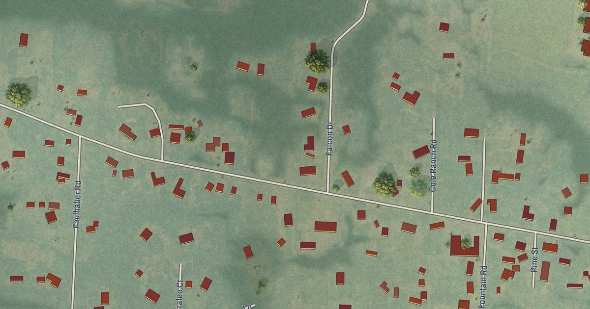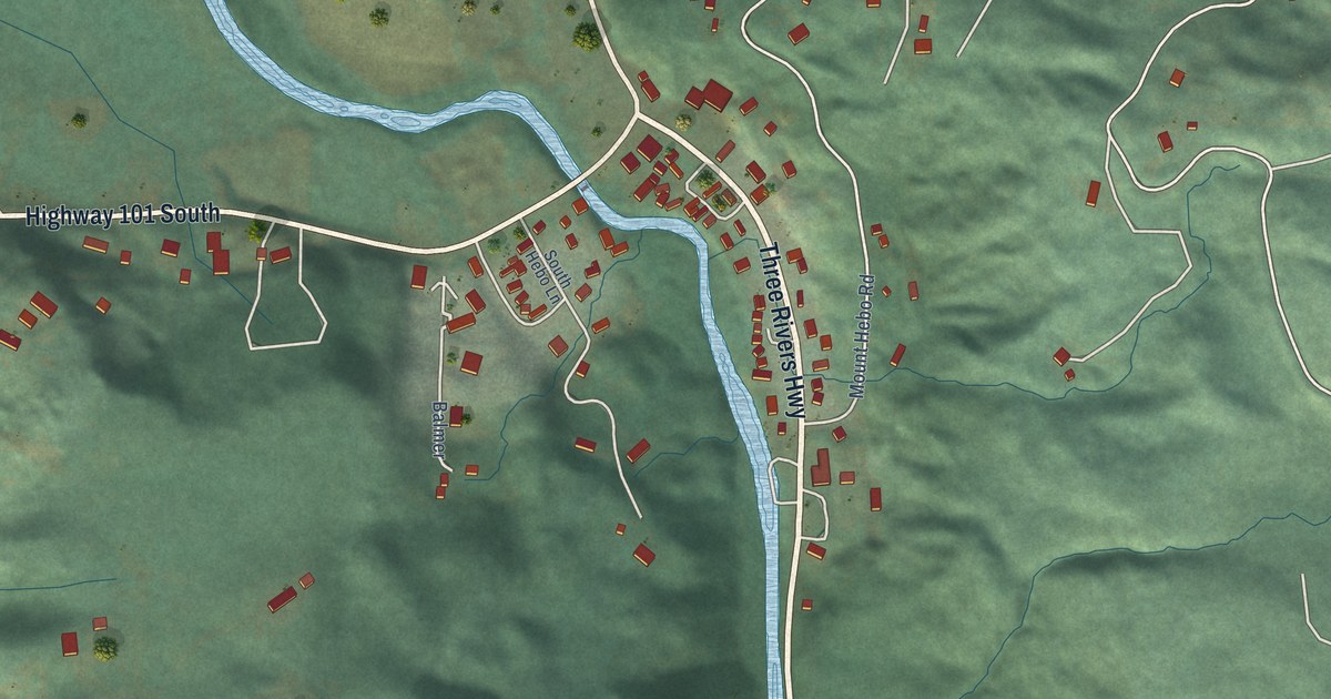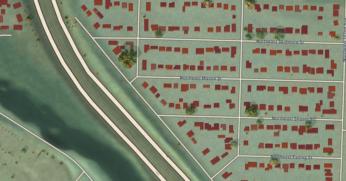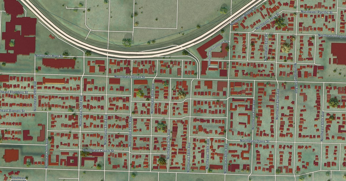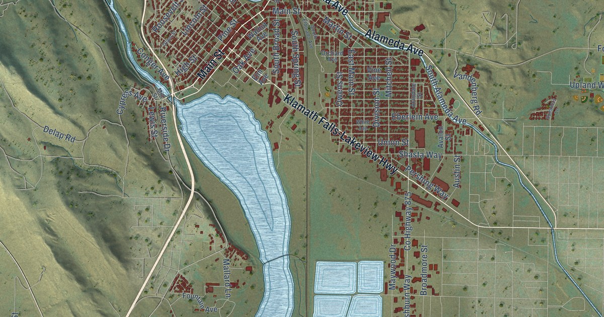
This beautifully detailed map of Klamath Falls, Oregon was created in 2026 using aerial imagery combined with modern topographical, census, street and landmark data. It’s a one-of-a-kind view of Klamath Falls that combines accurate data with a vintage aesthetic. The map shows every building in its true location, many of the roads carry their names, and the shaded topographic relief shows the shape of the land.
Explore an aerial view of Klamath Falls, Oregon
On the map you’ll find Pelican City, Moore Park, and Stewart Lenox, along with Main Street, Kit Carson Way, Alameda Avenue, North Alameda Avenue, The Dalles-California Highway, Klamath Falls-Lakeview Highway, Southside Expressway, Falls Highway, Green Springs Drive, and more. If you look closely you can even find your house accurately drawn in its correct location. Zoom in on the preview to look for yours.
Did you know this piece of Klamath Falls, Oregon history?
From Oregonencyclopedia.org: "The Oregon Vocational Institute (now Oregon Institute of Technology ), founded in 1947 to help retrain World War II veterans, has a residential campus in Klamath Falls and programs in engineering, health technology, and applied sciences."
Klamath Falls is a city in Klamath County.
Take a closer look at the Klamath Falls map
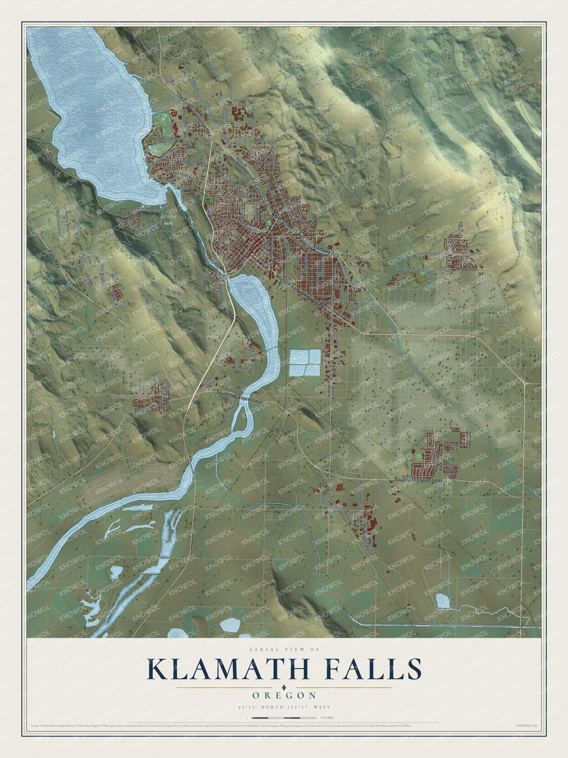
Street and place names on the Klamath Falls, Oregon map
These names are printed on the map of Klamath Falls, Oregon.
Places: Pelican City, Moore Park and Stewart Lenox.
Streets and roads: Main Street, Kit Carson Way, Alameda Avenue, North Alameda Avenue, The Dalles-California Highway, Klamath Falls-Lakeview Highway, Southside Expressway, Falls Highway, Green Springs Drive, Washburn Way, County Highway 875-A, County Highway 875.
More street names, A to Z
Addison Street, Airport Way, Alandale Street, Altamont Drive, American Avenue, Anchor Way, Anderson Avenue, Arnold Avenue, Austin Street, Avalon Street, Bailey Mountain Road, Bartlett Avenue, Basin View Drive, Beattys Butte Drive, Berkley Street, Biehn Street, Birch Street, Bly Street, Brett Way, Broadmore Street, Bryant Williams Drive, Buck Island Drive, Butte Street, Calhoun Street, California Avenue, Century Drive, Clairmont Drive, Coli Avenue, College Way, Conger Avenue, Cortez Street, County Highway 630, Cypress Avenue, Daggett Avenue, Dahlia Street, Dan Obrien Way, Delap Road, Delta Street, Division Street, Doty Street, East Main Street, Eberlein Avenue, Elm Avenue, Emerald Street, Esi Way, Euclid Avenue, Foothills Boulevard, Fountain Avenue, Front Street, Fulton Street, Gage Road, Gatewood Drive, Glenwood Drive, Grant Street, Hanks Street, Harbor Isle Boulevard, Harbor Vista Boulevard, Harmony Lane, Harvard Street, Haskins Avenue, Havencrest Drive, Helm Street, High Street, Highway 622, Hill Street, Holabird Avenue, Homedale Road, Industrial Park Drive, Jade Terrace, Joe Wright Road, Johnson Avenue, Kellal Lane, Klamath Falls-Malin Highway, Lakeport Boulevard, Lakeshore Drive, Lewis Street, Lexington Avenue, Lincoln Street, Loma Linda Drive, Lombard Drive, Lynnewood Boulevard, Lyptus Lane, Lytton Street, Mallard Lane, Martin Street, Maywood Drive, Melrose Street, Memorial Drive, Mesa Street, Midland Highway, Mill Street, Mitchell Street, Modoc Street, Montelius Street, Nevada Street, New Way, North Eldorado Avenue, North Eleventh Street, Northhills Drive, Oak Avenue, Old Fort Road, Onyx Avenue, Orange Blossom, Orchard Avenue, Oregon Avenue, Owens Street, Pacific Terrace, Paper Birch Way, Park Street, Pershing Way, Pine Street, Pristine Drive, Quarry Street, Rand Way, Ridgecrest Drive, Ridgewater Boulevard, River Oaks, Riverside Drive, Roosevelt Street, Sari Drive, Shalynn Drive, Shasta Way, Shelley Street, Siskiyou Street, Skyridge Drive, South Alameda Avenue, South Broad Street, South Eldorado Avenue, South Spring Street, Springcrest Way, Summers Lane, Swan Court, Thrall Street, Uhrmann Road, Union Street, Upham Street, Upland Way, Vandenberg Drive, Vandenberg Road, Vine Avenue, Vine Maple Drive, Vista Way, Wade Circle, Wall Street, Walnut Avenue, Wesgo Drive, West Oregon Avenue, West Ridge Drive, White Avenue, Wiard Street, Worden Avenue.
See the Klamath Falls, Oregon map on a wall
The Klamath Falls map as an 18 x 24 inch print in a black frame.

This beautifully detailed map of Klamath Falls makes an attractive addition to your office, library, or den, and it can even be used to teach children the geography and history of the area. It also makes a great gift for someone who left Klamath Falls and still calls it home. When you’re done exploring, click here to get your copy of the Klamath Falls map.