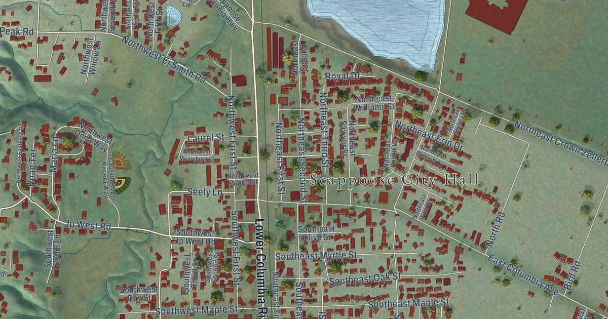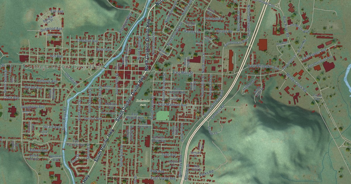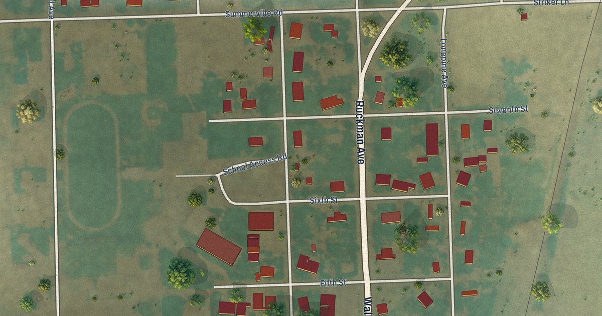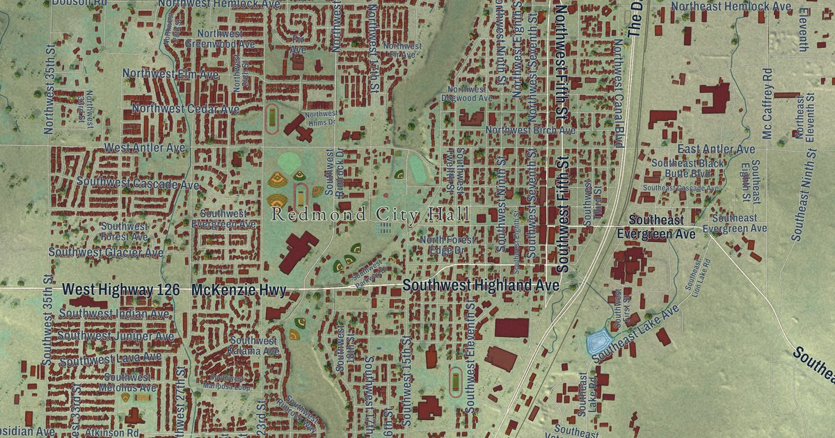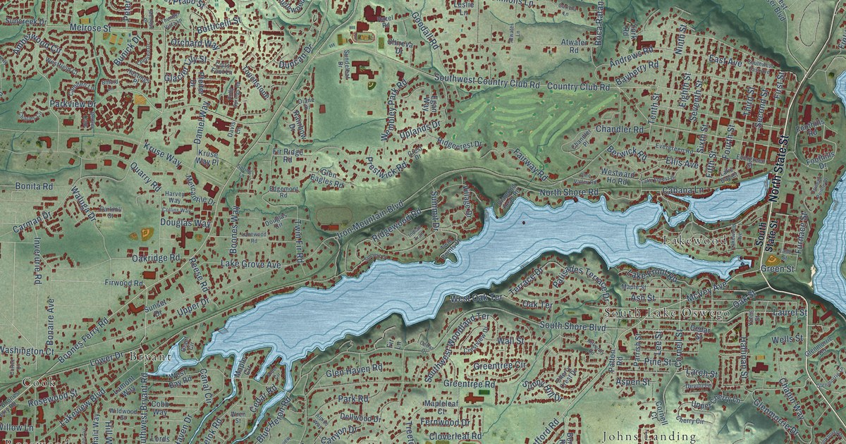
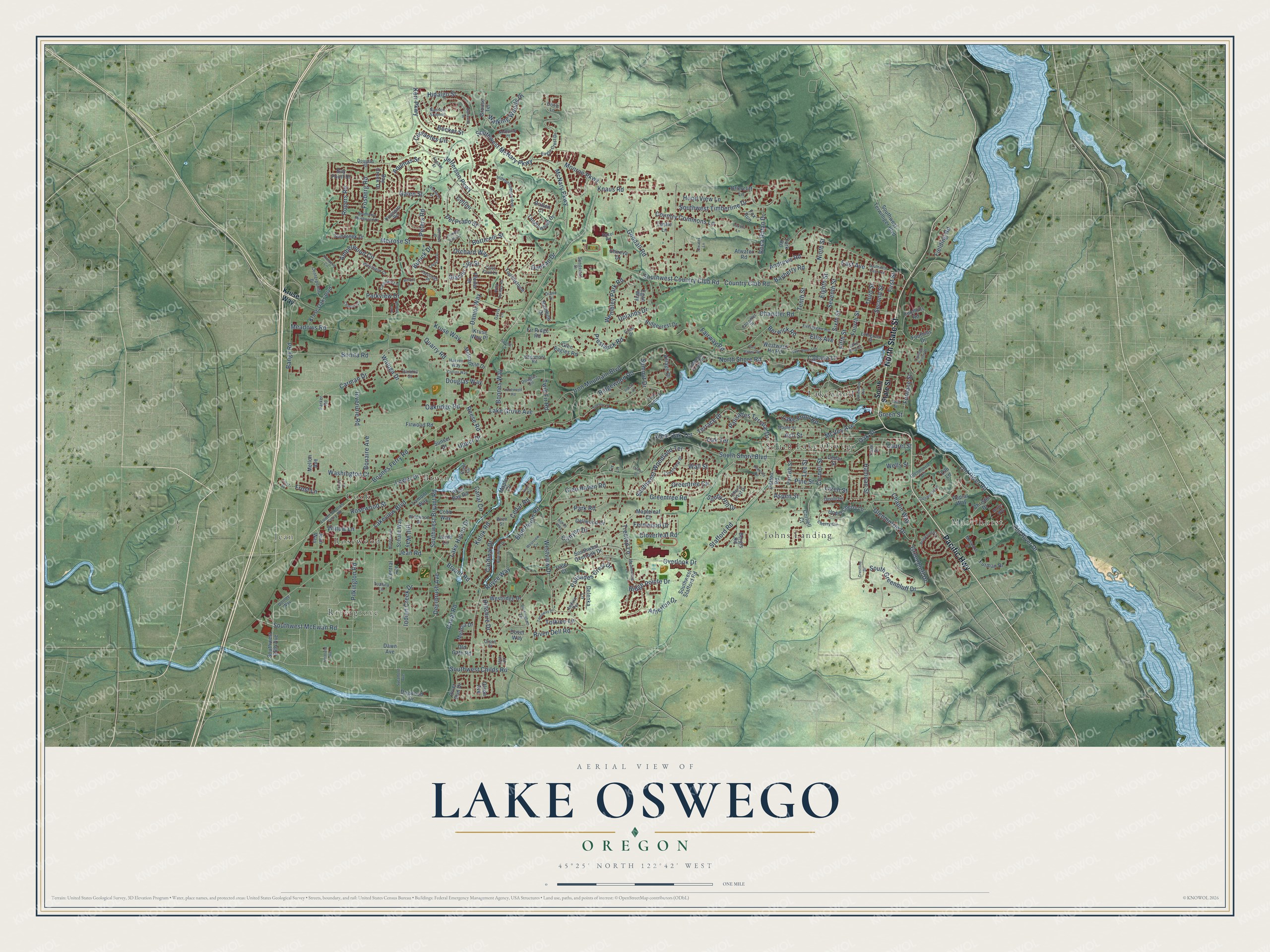
This beautifully detailed map of Lake Oswego, Oregon was created in 2026 using aerial imagery combined with modern topographical, census, street and landmark data. It's a modern aerial view of Lake Oswego in Clackamas County, Oregon, that combines modern data with a vintage aesthetic. The roads feature printed names, and if you look closely you can find your exact house accurately shown in its correct location.
Explore an aerial view of Lake Oswego, Oregon
On this map you'll find Marylhurst, Jean, Bryant, Cook, Johns Landing, Lakewood, Rivergrove, Rosewood, South Lake Oswego, North State Street, Pacific Highway, Boones Ferry Road, and more. Each red shape is a building, so zoom in on the preview and look for yours.
Here is a piece of Lake Oswego history, in the words of the record. The record at oregonencyclopedia.org puts it this way: "Attracted by the creek with its swiftly flowing water and access to the Willamette River , Miranda and Alonzo Durham established a donation land claim in 1850, built a sawmill, and platted the town."
Lake Oswego is a city in Clackamas County.
Take a closer look at the Lake Oswego map
Names on this map
These names are printed on this map.
Places: Marylhurst, Jean, Bryant, Cook, Johns Landing, Lakewood, Rivergrove, Rosewood and South Lake Oswego.
Streets and roads: North State Street, Pacific Highway, Boones Ferry Road, Glenmorrie Drive, Jefferson Parkway, Fosberg Road, McVey Avenue, Parkview Drive, Melrose Street, North Shore Road, Stafford Road, Cervantes Circle.
More street names, A to Z
35th Place, Abelard Street, Alder Circle, Alpine Way, Amberwood Circle, Andrews Road, Anduin Terrace, Aquinas Street, Ash Street, Aspen Street, Atherton Drive, Atwater Lane, Atwater Road, Bangy Road, Bayberry Road, Bay Creek Drive, Bay Point Drive, Becket Street, Benfield Avenue, Bergis Road, Bertley Loop, Berwick Road, Bilford Lane, Blue Heron Drive, Blue Heron Road, Boca Ratan Drive, Bonaire Avenue, Bonita Road, Boones Way, Botticelli Street, Briercliff Lane, Britten Court, Brookhurst Drive, Bryant Road, Buckingham Terrace, Bunick Drive, Cabana Lane, Camden Lane, Canal Circle, Canal Road, Canyon Drive, Cardinal Drive, Carman Drive, Carrera Lane, Cedar Court, Cedar Road, Cedar Street, Cellini, Centerpointe Drive, Central Avenue, Chandler Place, Chandler Road, Chapin Way, Charles Circle, Chelsea Drive, Cherry Circle, Cherry Crest Drive, Christie Drive, Cloverleaf Road, Cobb Way, Collins Way, Colts Foot Lane, Cornell Court, Cornell Street, Cortez Court, Country Club Road, Country Commons Lane, Crest Drive, Crestline Drive, Crestview Drive, Daniel Way, Davis Lane, Dawn Avenue, Deerbrush Avenue, Delenka Lane, Dellwood Drive, Del Prado Street, Devon Lane, Diamond Head Road, Diane Drive, Dogwood Drive, Donlee Way, Douglas Circle, Douglas Street, Douglas Way, Dover Way, Duncan Drive, Eagle Crest Drive, East Avenue, Edgemont Road, Egan Way, Eighth Street, Ellis Avenue, Evergreen Road, Evergreen Street, Fairway Road, Fernwood Drive, Fielding Road, Fifth Street, Fir Lane, Fir Ridge Road, First Street, Firwood Road, Foothills Drive, Foothills Road, Fourth Street, Fox Run, Frost Lane, Frost Street, Furman Drive, Furnace Street, Galen Street, Garibaldi Street, Glacier Lily Street, Glen Eagles Road, Glen Haven Road, Glenmorrie Lane, Glenmorrie Terrace, Goodall Road, Graef Circle, Greenbluff Drive, Green Street, Greentree Circle, Greentree Road, Grouse Terrace, Hallinan Street, Harvey Way, Hastings Place, Hazel Road, Hidalgo Street, Hillshire Drive, Hill Way, Holly Springs Road, Hood View Lane, Independence Avenue, Indian Creek Drive, Indian Trail, Inverurie Road, Iron Mountain Boulevard, Jean Road, Jean Way, Kelok Road, Kerr Parkway, Kilkenny Road, Kimberly Circle, Kingsgate Road, Knaus Road, Kruse Oaks Boulevard, Kruse Way, Kruse Way Place, Ladd Street, Lake Bay Court, Lake Forest Drive, Lake Front Road, Lake Grove Avenue, Lake Haven Drive, Lakeview Boulevard, Lakewood Avenue, Lamont Way, Lanewood Road, Larch Street, Laurel Street, Lee Street, Leslie Lane, Lilli Lane, Lords Lane, Lower Boones Ferry Road, Lower Drive, Maple Circle, Mapleleaf Court, Maple Street, Mardee Avenue, Martin Way, McNary Parkway, Meadowlark Lane, Meadows Road, Melissa Drive, Mellon Avenue, Melrose Place, Mercantile Drive, Mesnard Street, Monroe Parkway, Nansen Summit, Ninth Street, Northview Court, Oakridge Road, Oak Street, Oak Terrace, Old Gate Road, Old River Drive, Old River Road, Olson Avenue, Olson Court, Orchard Way, Oriole Lane, Oswego Pointe Drive, Overlook Drive, Palisades Crest Drive, Palisades Terrace Drive, Parker Road, Parkhill Street, Park Road, Parrish Street, Patton Road, Peters Road, Pfeifer Drive, Pilkington Road, Pine Street, Pine Valley Road, Poplar Way, Prestwick Road, Quarry Road, Rainbow Drive, Reese Road, Ridgecrest Drive, Ridge Pointe Drive, Ridgewood Road, Riven Dell Road, River Run Drive, Rogers Road, Rosewood Street, Royce Way, Schalit Way, Second Street, Seventh Street, Shireva Drive, Sixth Street, South Greenbluff Drive, South Shore Boulevard, South State Street, Southwest 65th Avenue, Southwest Bryant Road, Southwest Childs Road, Southwest Country Club Road, Southwest East Avenue, Southwest McEwan Road, Southwest McNary Parkway, Southwest Overlook Drive, Southwest Southwood Drive, Southwest Stafford Road, Southwest Terwilliger Boulevard, Southwest Timberline Drive, Southwest Woodland Terrace, Spring Lane, Summit Court, Summit Drive, Suncreek Drive, Sundeleaf Drive, Sunny Hill Drive, Sunset Drive, Sycamore Avenue, Tamaway Drive, Tanglewood Drive, Tenth Street, Terrace Drive, Third Street, Thunder Vista Lane, Tolkien Lane, Touchstone, Treetop Lane, Tualata Lane, Twin Fir Road, Twin Points Drive, Uplands Drive, Upper Cherry Lane, Upper Drive, Vale Court, Vermeer Drive, Village Drive, Walking Woods Drive, Wall Street, Waluga Drive, Washington Court, Wells Street, Wembley Park Road, West Bay Road, Westfield Court, West Oak Terrace, Westridge Drive, Westview Circle, Westview Drive, Westward Ho Road, Wildwood Street, Willow Lane, Wren Street, Yates Street, York Road.
Created by KNOWOL in 2026. The buildings are small red shapes, the roads carry their printed names, and shaded relief shows the shape of the land. The title panel reads "AERIAL VIEW OF LAKE OSWEGO OREGON" with 45°25' NORTH 122°42' WEST.
It suits a den, a classroom or a front hall, and it makes a gift for anyone with Lake Oswego roots. Open the preview and find the block you know. See sizes and frames for the Lake Oswego map.