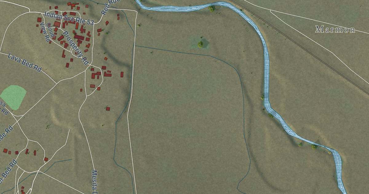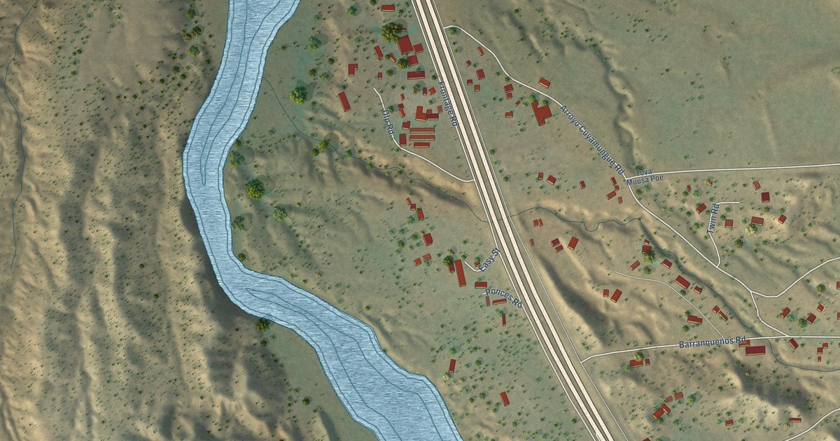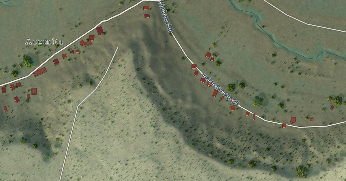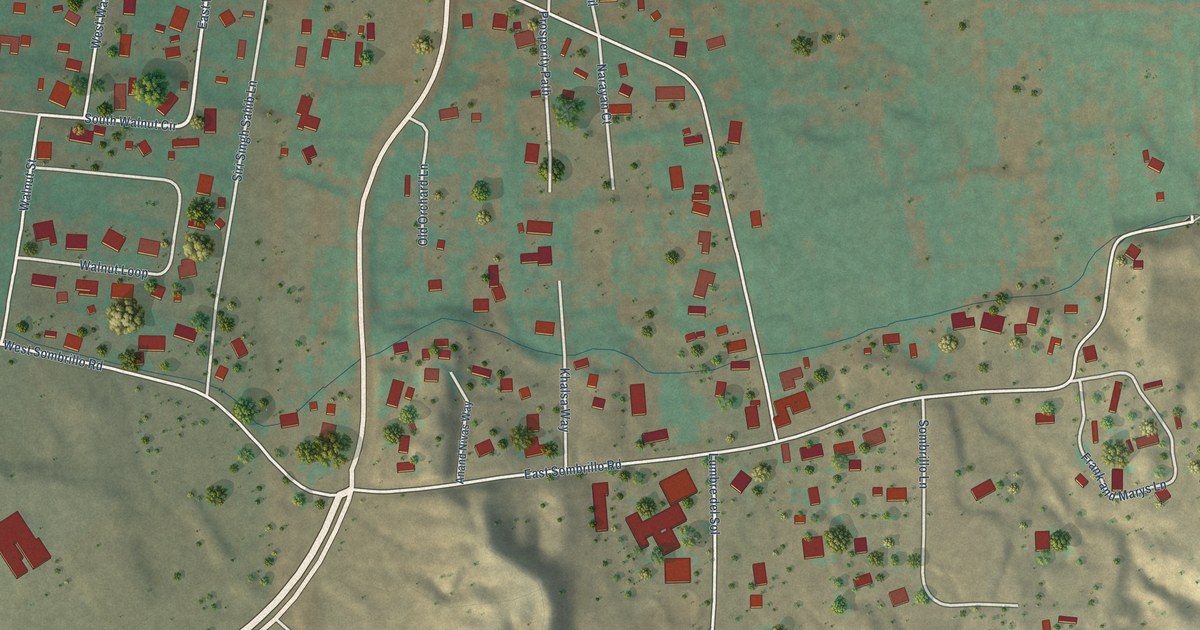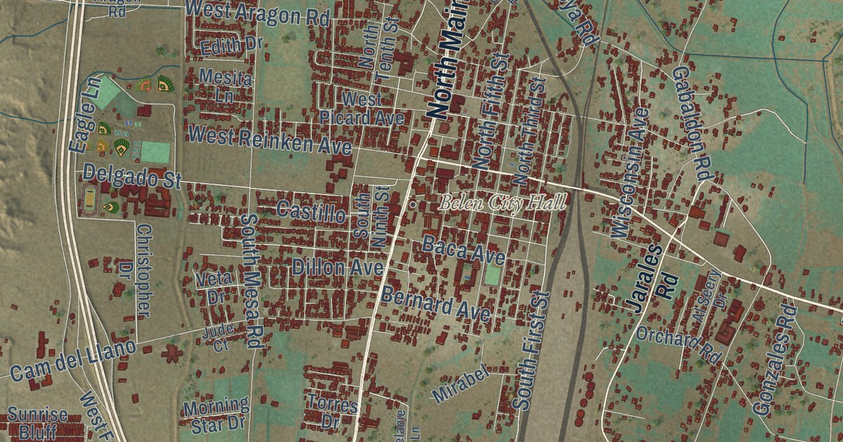
This beautifully detailed map of Belen, New Mexico was created in 2026 using aerial imagery combined with modern topographical, census, street and landmark data. It’s a one-of-a-kind view of Belen that combines accurate data with a vintage aesthetic. The map shows every building in its true location, many of the roads carry their names, and the shaded topographic relief shows the shape of the land.
Explore an aerial view of Belen, New Mexico
On the map you’ll find Belen City Hall, Bacaville, and Cam del Llano, along with East River Road, River Road, South Main Street, East Reinken Avenue, North Main Street, Marble Quarry Road, Jarales Road, Gabaldon Road, Delgado Street, and more. If you look closely you can even find your house accurately drawn in its correct location. Zoom in on the preview to look for yours.
Did you know this piece of Belen, New Mexico history?
From the City of Belen: "Two Spaniards, Captain Don Diego Torres and Antonio Salazar, founded Belen in 1740."
Take a closer look at the Belen map
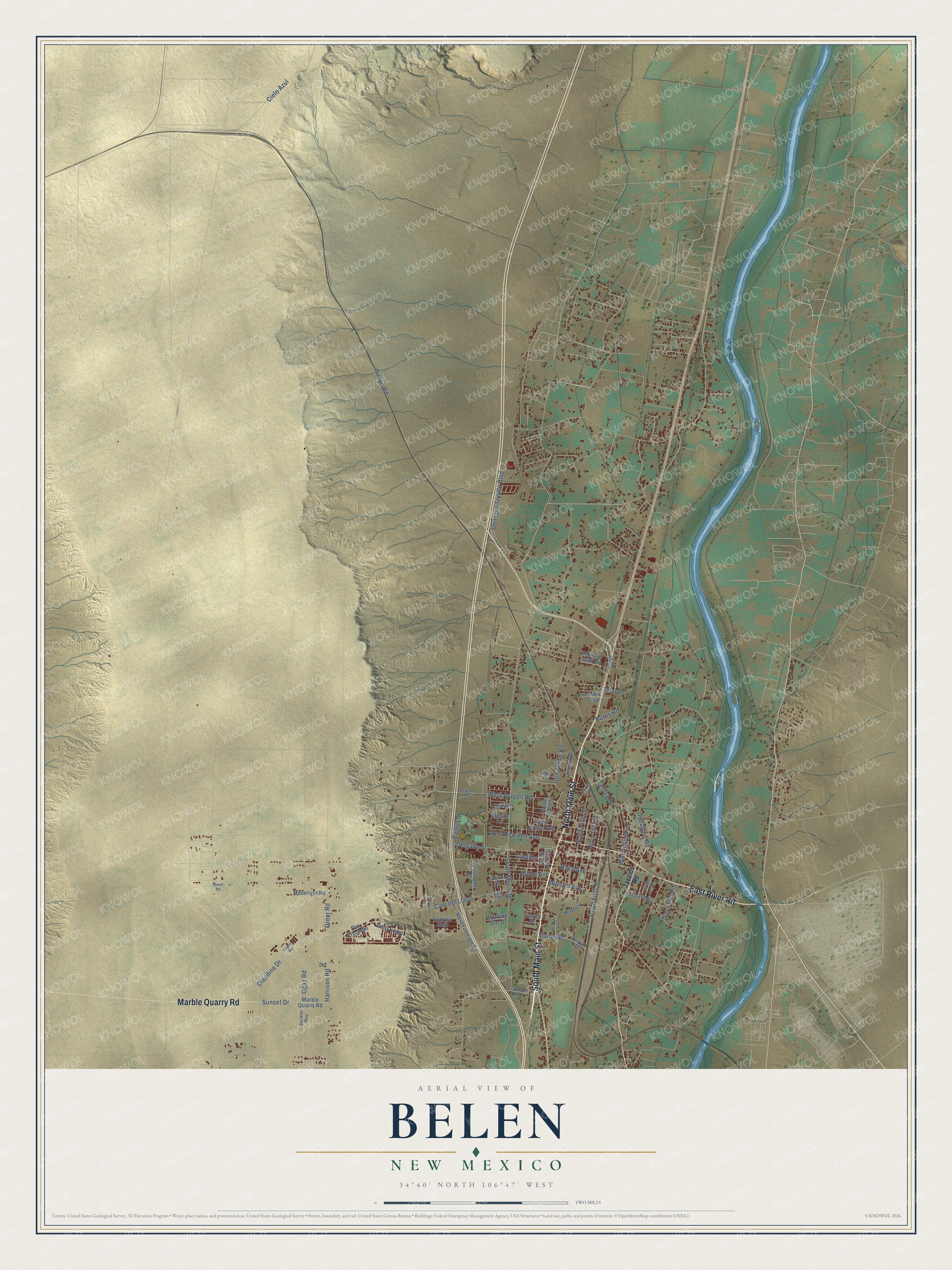
Street and place names on the Belen, New Mexico map
These names are printed on the map of Belen, New Mexico.
Places: Belen City Hall.
Streets and roads: East River Road, South Main Street, Marble Quarry Road, North Main Street, Cam del Llano, South First Street, Gabaldon Road, Arroyo Road, South Mesa Road, West Aragon Road, Delgado Street, Ogaz Road.
More street names, A to Z
Abby Lane, Airport Road, Al Seery Drive, Aragon Road, Baca Avenue, Barns Road, Becktel Way, Bernard Avenue, Cannon Road, Castillo, Christopher Drive, Cielo Azul, Claudine Drive, Desi Loop, Dillon Avenue, Don Felipe Road, Don Luis Trujillo Boulevard, Eagle Lane, Edith Drive, Frontage Road, Garcia Road, Gonzales Road, Greer Road, Harrison Road, Impala Drive, Jarales Road, Jewel Road, Jude Court, Lopez Loop, Martha Jean Drive, Melanie Lane, Mesita Lane, Mirabel, Moonlight Road, Morning Star Drive, North Fifth Street, North Tenth Street, North Third Street, Orchard Road, Pso Arbolado, Roldan Drive, Salaz Road, South Ninth Street, Sunrise Bluff, Sunset Drive, Tafoya Road, Torres Drive, Veta Drive, Vic Lane, Vivian Drive, Vivian Road, West Frontage Road, West Picard Avenue, West Reinken Avenue, Wisconsin Avenue.
See the Belen, New Mexico map on a wall
The Belen map as an 18 x 24 inch print in a black frame.

This beautifully detailed map of Belen makes an attractive addition to your office, library, or den, and it can even be used to teach children the geography and history of the area. It also makes a great gift for anyone with Belen roots. When you’re done exploring, click here to get your copy of the Belen map.