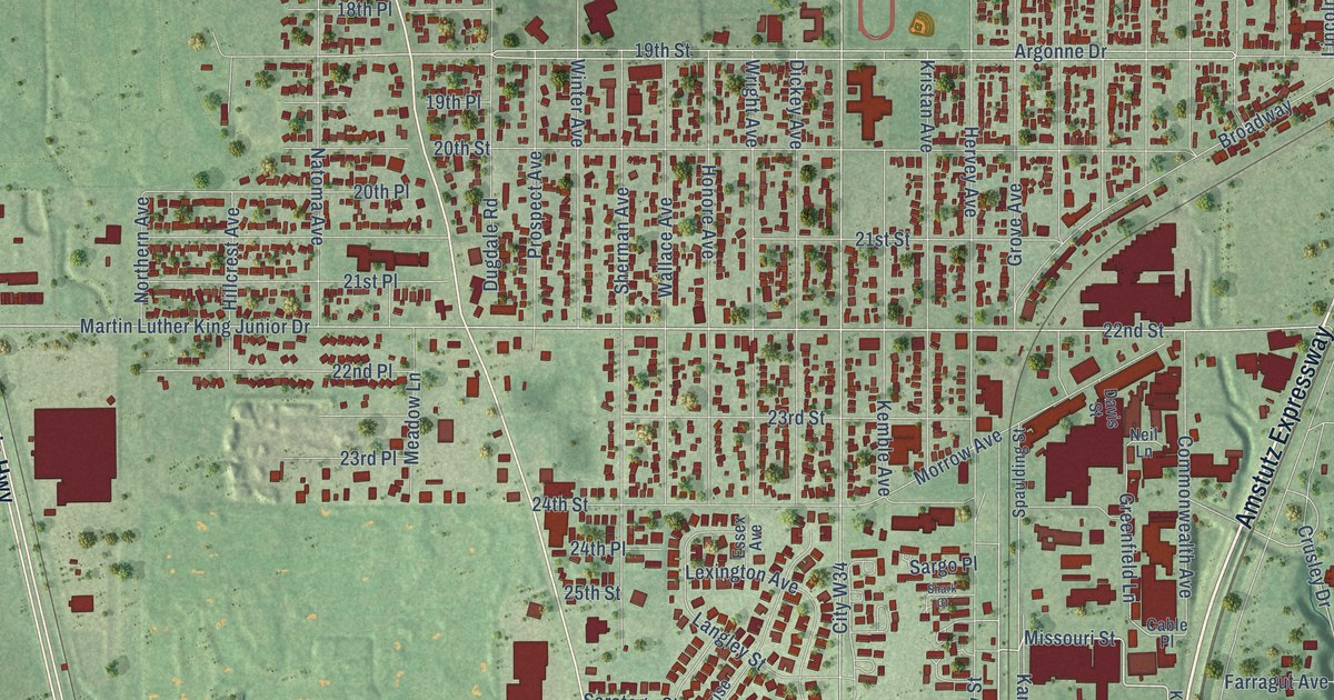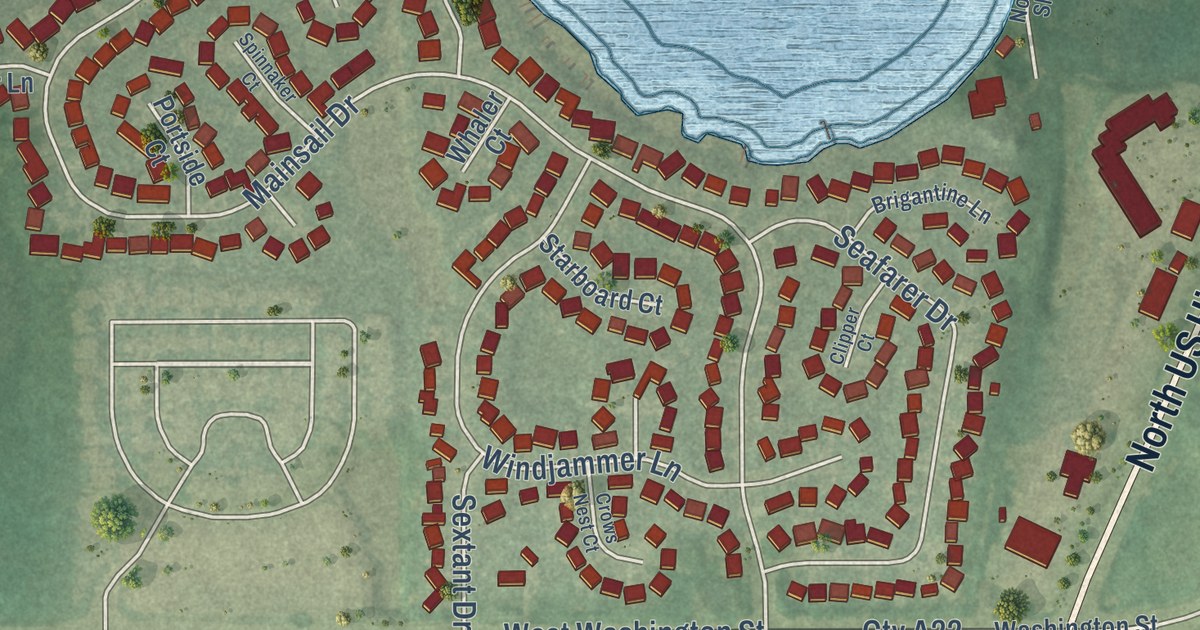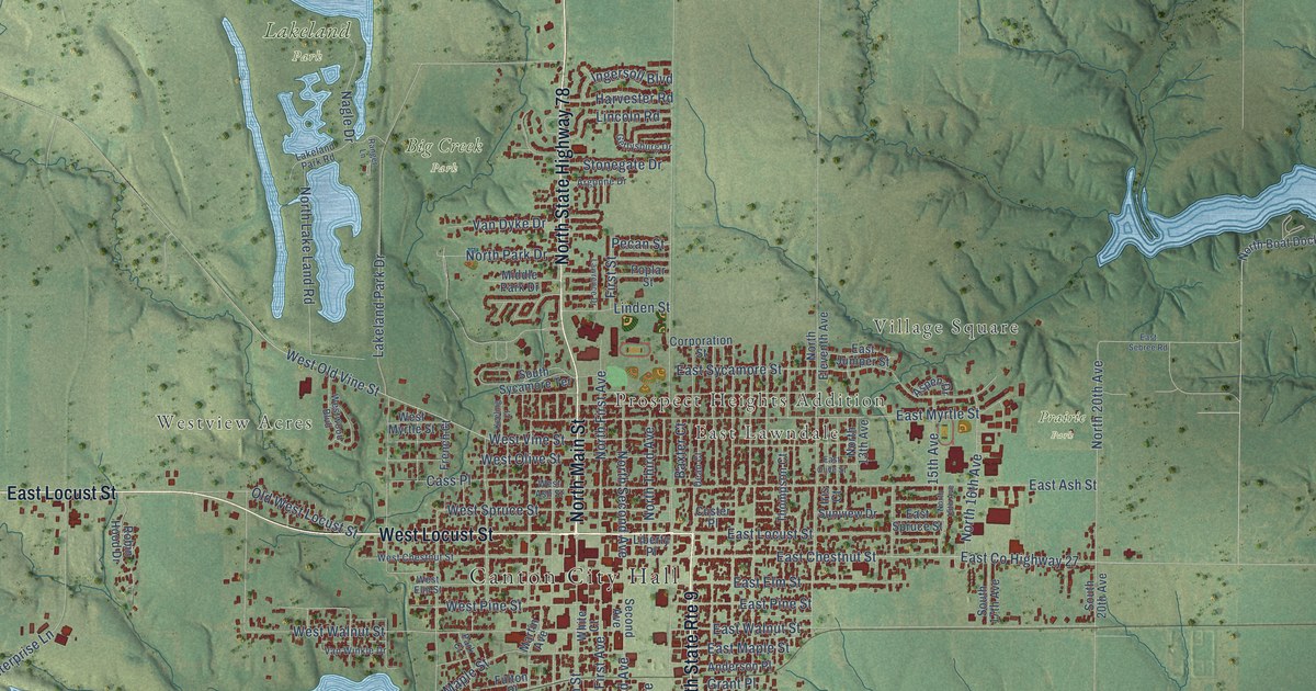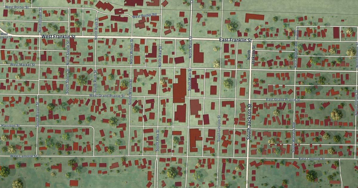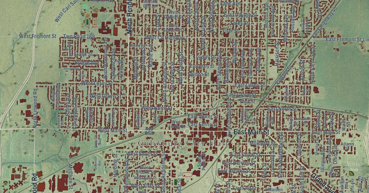
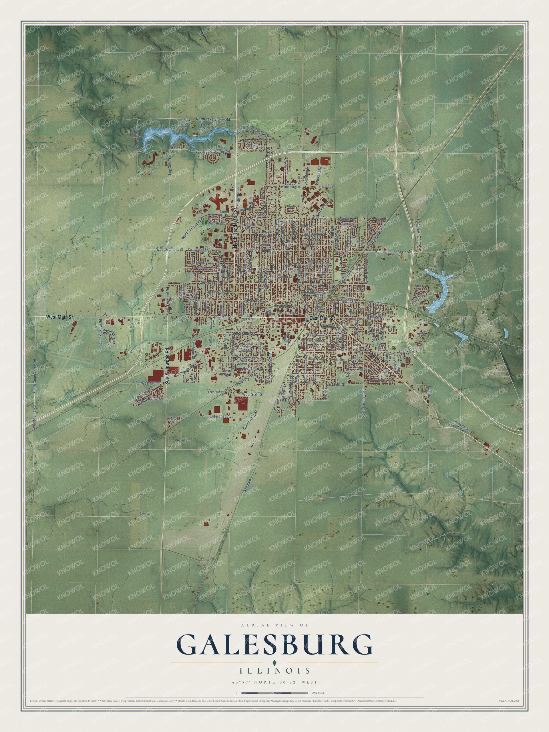
This beautifully detailed map of Galesburg, Illinois was created in 2026 using aerial imagery combined with modern topographical, census, street and landmark data. It’s a one-of-a-kind view of Galesburg that combines accurate data with a vintage aesthetic. The map shows every building in its true location, many of the roads carry their names, and the shaded topographic relief shows the shape of the land.
Explore an aerial view of Galesburg, Illinois
On the map you’ll find Galesburg City Hall and Kiwanis Park, along with North Henderson Street, West Main Street, East Main Street, Grand Avenue, South Linwood Road, North Linwood Road, South County Line Road, West Carl Sandburg Drive, South Lake Storey Road, County Line Road, and more. If you look closely you can even find your house accurately drawn in its correct location. Zoom in on the preview to look for yours.
Did you know this piece of Galesburg, Illinois history?
From the Lincoln Financial Foundation: "Knox College in Galesburg hosted a debate between Lincoln and Stephen Douglas in 1858 as they competed for a senate seat."
Take a closer look at the Galesburg map
Street and place names on the Galesburg, Illinois map
These names are printed on the map of Galesburg, Illinois.
Places: Galesburg City Hall and Kiwanis Park.
Streets and roads: North Henderson Street, West Main Street, East Main Street, Grand Avenue, South Linwood Road, North Linwood Road, South County Line Road, West Carl Sandburg Drive, South Lake Storey Road, County Line Road, North Lake Storey Road, South Henderson Street.
More street names, A to Z
Accomadation Street, Adams Street, Arcadia Drive, Arnold Street, Baird Avenue, Bandy Avenue, Bateman Street, Beecher Avenue, Belt Boulevard, Benard Street, Blaine Avenue, Bluebird Drive, Bridge Avenue, Brown Avenue, Burgland Avenue, Carl Sandburg Drive, Catherine Street, Cedar Avenue, Century Est, Circle Drive, Clark Street, Clay Drive, Clay Street, Columbus Avenue, Cornelia Road, Costa Drive, Curley Drive, Day Street, Dayton Drive, Dieterich Avenue, Dietrich Avenue, Division Street, Dudley Street, Duval Avenue, East Berrien Street, East Brooks Street, East Carl Sandburg Drive, East Davis Street, East Dayton Street, East Ferris Street, East Fifth Street, East First Street, East Fremont Street, East Grove Street, East Knox Street, East Losey Street, East Mary Street, East North Street, East South Street, East Water Street, Edwards Avenue, Ella Street, Emery Street, Enterprise Avenue, Fifer Street, Florence Avenue, Frank Street, Garden Lane, Garfield Avenue, Grant Avenue, Hackberry Road, Harding Street, Harrison Street, Herring Avenue, Home Boulevard, Huston Street, Illini Drive, Illinois Avenue, Imperial Avenue, Indiana Avenue, Iowa Avenue, Irwin Street, Jefferson Street, Kings Canyon Boulevard, Knollcrest Drive, Knox Highway 40, Knox Road 1440 North, Lacon Drive, Lake Street, Lane Avenue, Lawrence Avenue, Lincoln, Lincoln Park Drive, Lincoln Street, Locust Street, Log City Road, Log City Trail, Lombard Street, Loraine Drive, Louisville Road, Lyman Street, Madison Street, Maiden Lane, Maple Avenue, Marmac Drive, Mayo Drive, McClure Street, McMasters Avenue, Michigan Avenue, Monmouth Boulevard, Monroe Street, Morton Avenue, Moshier Avenue, Mulberry Street, National Boulevard, North Academy Street, North Arthur Avenue, North Broad Street, North Cedar Street, North Chambers Street, North Cherry Street, North Farnham Street, North Hawkinson Avenue, North Ivan Avenue, North Kellogg Street, North Pearl Street, North Prairie Street, North Seminary Street, North West Street, Oak Street, Ohio Avenue, Olive Street, Oriole Drive, Peck Street, Pennsylvania Avenue, Phillips Street, Picnic Drive, Pine Street, Pine Tree Lane, Prestwick Drive, Prospect Street, Rock Island Avenue, Ruby Street, Russell Avenue, Saint Andrews Road, Saluda Road, Scotch Elm Lane, Selden Street, Seminole Drive, Service Drive, Sheldon Street, Silver Street, South Academy Street, South Cedar Street, South Chambers Street, South Cherry Street, South Daniel Drive, South Elm Street, South Farnham Street, South Kellogg Street, South Mall Drive, South Pearl Street, South Pickard Road, South Prairie Street, South Seminary Street, South West Street, South Whitesboro Street, Springer Road, Spruce Avenue, Summit Street, Tamarind Drive, Treadwell Drive, Twp Road 169, Twp Road 201, Veterans Drive, Volunteer Drive, Walnut Street, Walsh Avenue, West Brooks Street, West County Highway 7, West Dayton Street, West Ferris Street, West Fifth Street, West First Street, West Fourth Street, West Fremont Street, West Grove Street, West Knox Street, West Lake Storey Road, West Losey Street, West North Street, West Sanborn Street, West Second Street, West Sixth Street, West South Street, West Third Street, Whiting Avenue, Willard Street, Windish Drive, Yates Street.
See the Galesburg, Illinois map on a wall
The Galesburg map as an 18 x 24 inch print in a black frame.

This beautifully detailed map of Galesburg makes an attractive addition to your office, library, or den, and it can even be used to teach children the geography and history of the area. It also makes a great gift for anyone with Galesburg roots. When you’re done exploring, click here to get your copy of the Galesburg map.