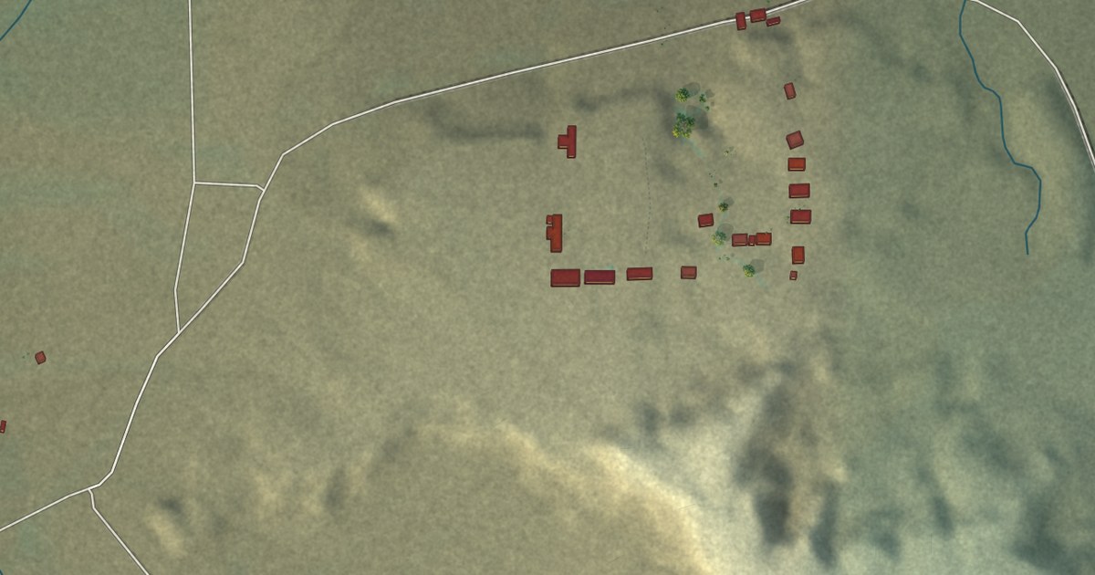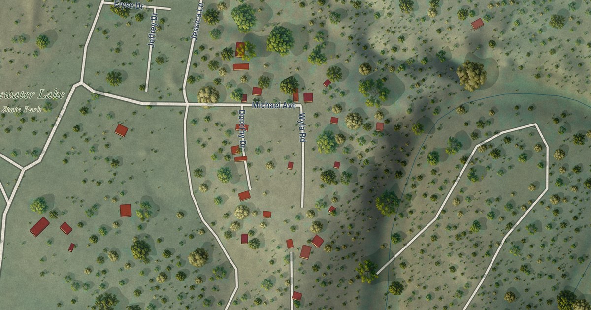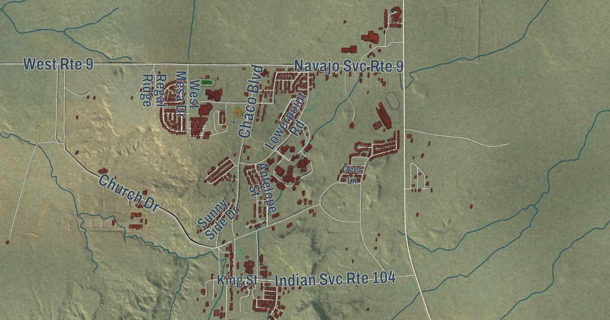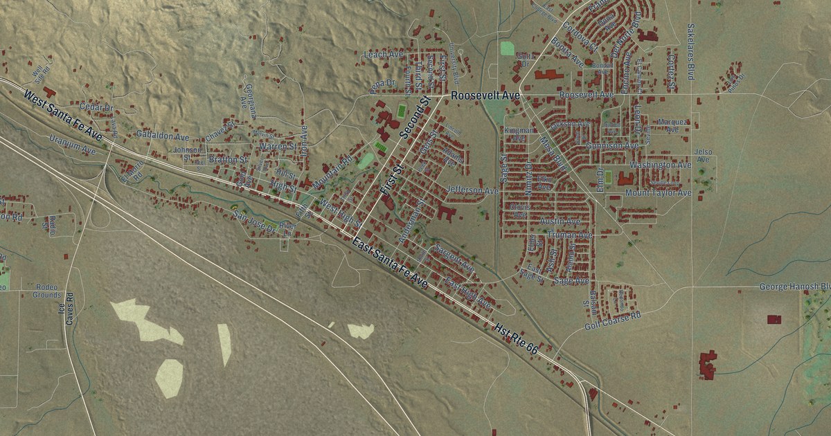
This beautifully detailed map of Grants, New Mexico was created in 2026 using aerial imagery combined with modern topographical, census, street and landmark data. It’s a one-of-a-kind view of Grants that combines accurate data with a vintage aesthetic. The map shows every building in its true location, many of the roads carry their names, and the shaded topographic relief shows the shape of the land.
Explore an aerial view of Grants, New Mexico
On the map you’ll find Roosevelt Avenue, First Street, East Santa Fe Avenue, West Santa Fe Avenue, Lobo Canyon Road, Second Street, Mesa Boulevard, North Hills Boulevard, Aspen Avenue, Iron Avenue, High Street, East High Avenue, and more. If you look closely you can even find your house accurately drawn in its correct location. Zoom in on the preview to look for yours.
Did you know this piece of Grants, New Mexico history?
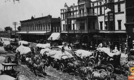
From the WPA Guide to New Mexico: "In 1873 came Don Ramon Baca with his family. When the Santa Fe Railway reached this point in 1881, Alamitos became a coaling station and was renamed for the Grant brothers who constructed the railroad."
Take a closer look at the Grants map
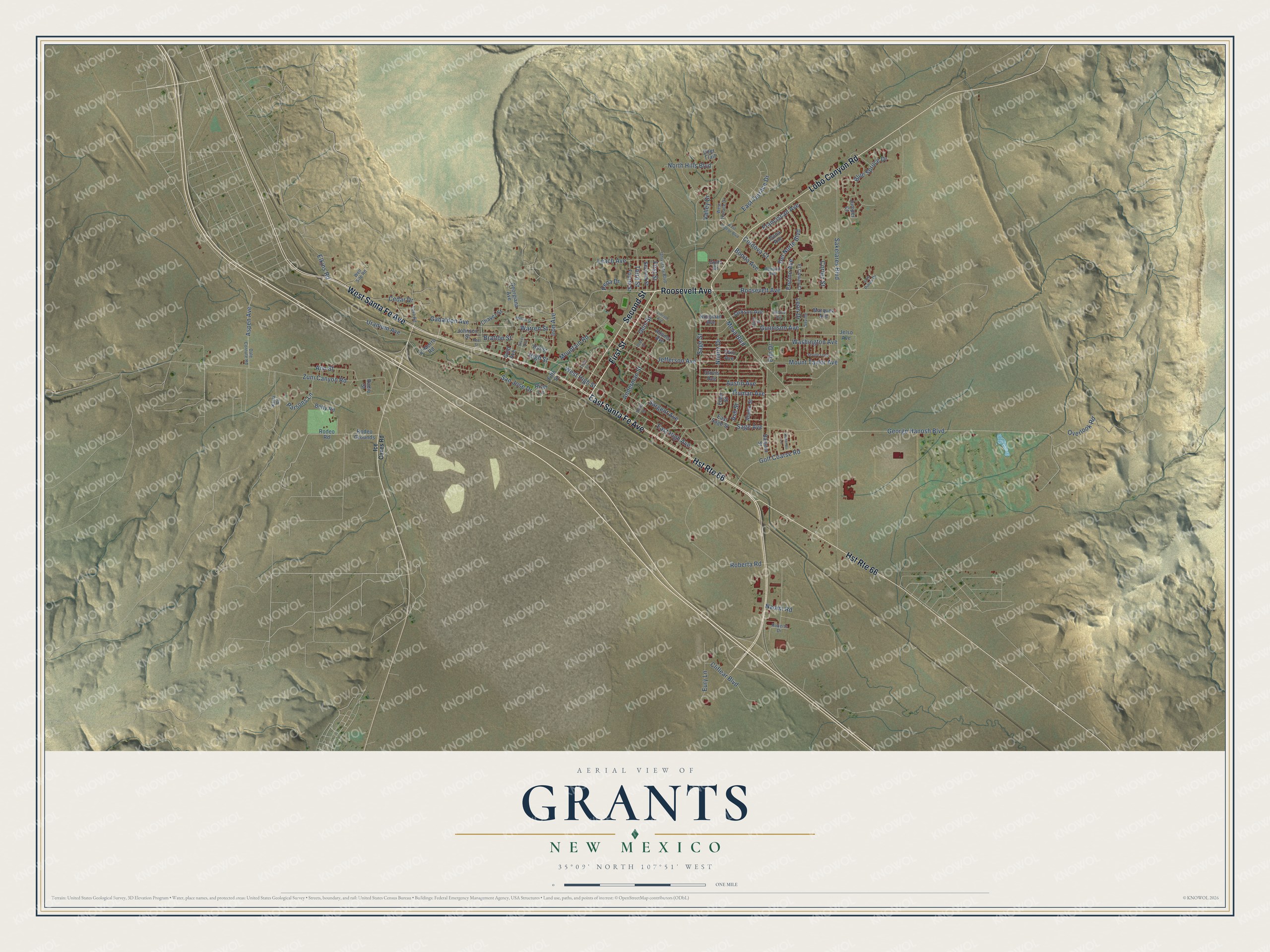
Street names on the Grants, New Mexico map
These names are printed on the map of Grants, New Mexico.
Streets and roads: Roosevelt Avenue, First Street, East Santa Fe Avenue, West Santa Fe Avenue, Hst Route 66, Lobo Canyon Road, Second Street, Mesa Boulevard, North Hills Boulevard, Aspen Avenue, Iron Avenue, High Street.
More street names, A to Z
Adams Avenue, Alamo Street, Anderman Street, Ann Street, Ash Street, Austin Avenue, Balsam Street, Betty Road, Birch Street, Blue Spruce Drive, Bondad Avenue, Bonita Avenue, Bratton Street, Cedar Drive, Chavez Street, Cliflear Boulevard, Clovis Avenue, Cordova Court, Cortez Street, Dale Cornute Road, Deer Trail, Del Norte Boulevard, Dona Avenue, East College Boulevard, East High Avenue, East Sage Street, East Terrace Drive, El Camino Court, Elder Street, Elkins Road, Elko Avenue, Elm Drive, El Morro Road, Encino Avenue, Eury Lane, Fifth Street, Fourth Street, Franciscan Avenue, Gabaldon Avenue, Geis Street, George Hanosh Boulevard, Georgiana Avenue, Gold Avenue, Golf Coarse Road, Goltz Drive, Gunnison Avenue, Hill Street, Ice Caves Road, Inwood Avenue, Jackson Avenue, Jefferson Avenue, Jelso Avenue, Johnson Street, Juniper Court, Karla Road, Kingman Avenue, Lava Road, Leach Avenue, Leon Drive, Lincoln Avenue, Los Pinos Drive, Marquez Avenue, Melvin Street, Mountain Road, Mount Taylor Avenue, Naomi Road, Nimitz Drive, Overlook Road, Parsons Lane, Peek Street, Peel Street, Pena Drive, Radio Street, Redondo Lane, River Lane, Roberta Road, Roberts Drive, Rodeo Grounds, Rodeo Road, Sage Avenue, Sage Street, Sakelares Boulevard, San Jose Drive, Sargent Avenue, Seville, Seville Loop, Silver Avenue, Smith Street, Third Street, Truman Avenue, University Boulevard, Uranium Avenue, Valley Drive, Warren Street, Washington Avenue, Well Site Road, West High Street, West Terrace Drive, Zuni Canyon Road.
See the Grants, New Mexico map on a wall
The Grants map as an 18 x 24 inch print in a black frame.

This beautifully detailed map of Grants makes an attractive addition to your office, library, or den, and it can even be used to teach children the geography and history of the area. It also makes a great gift for someone who left Grants and still calls it home. When you’re done exploring, click here to get your copy of the Grants map.