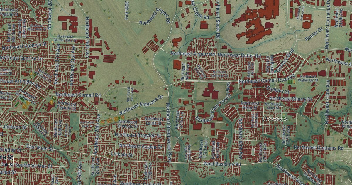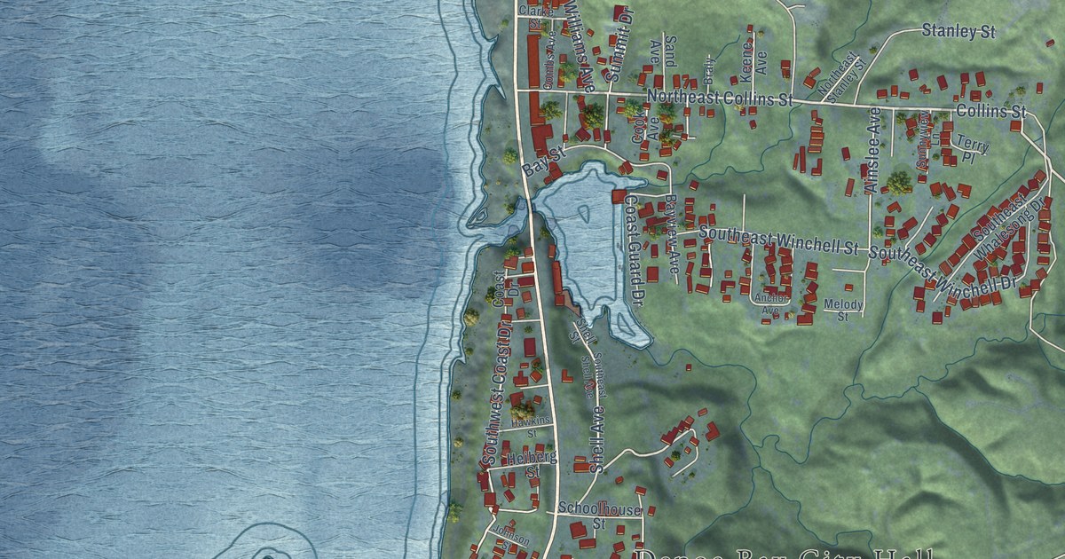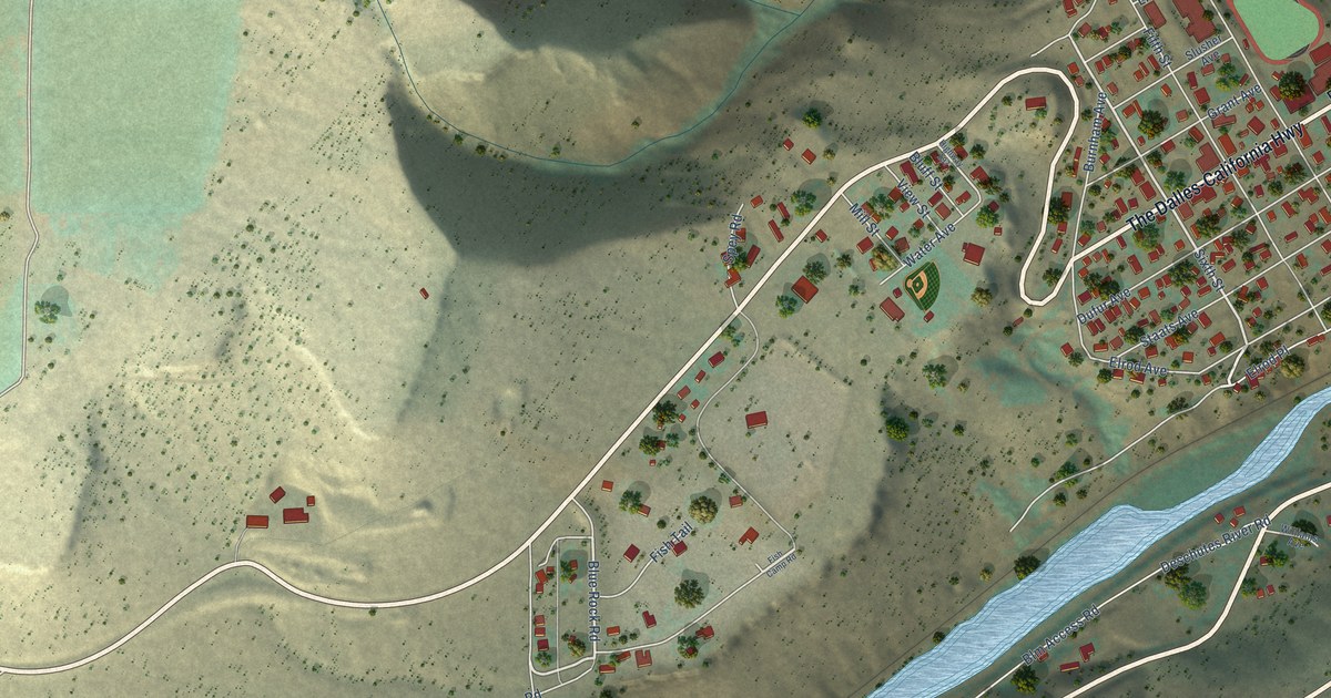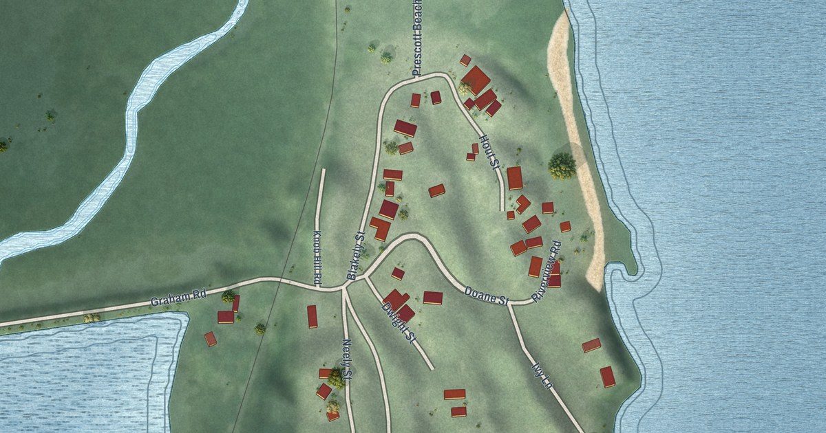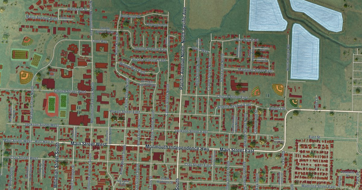
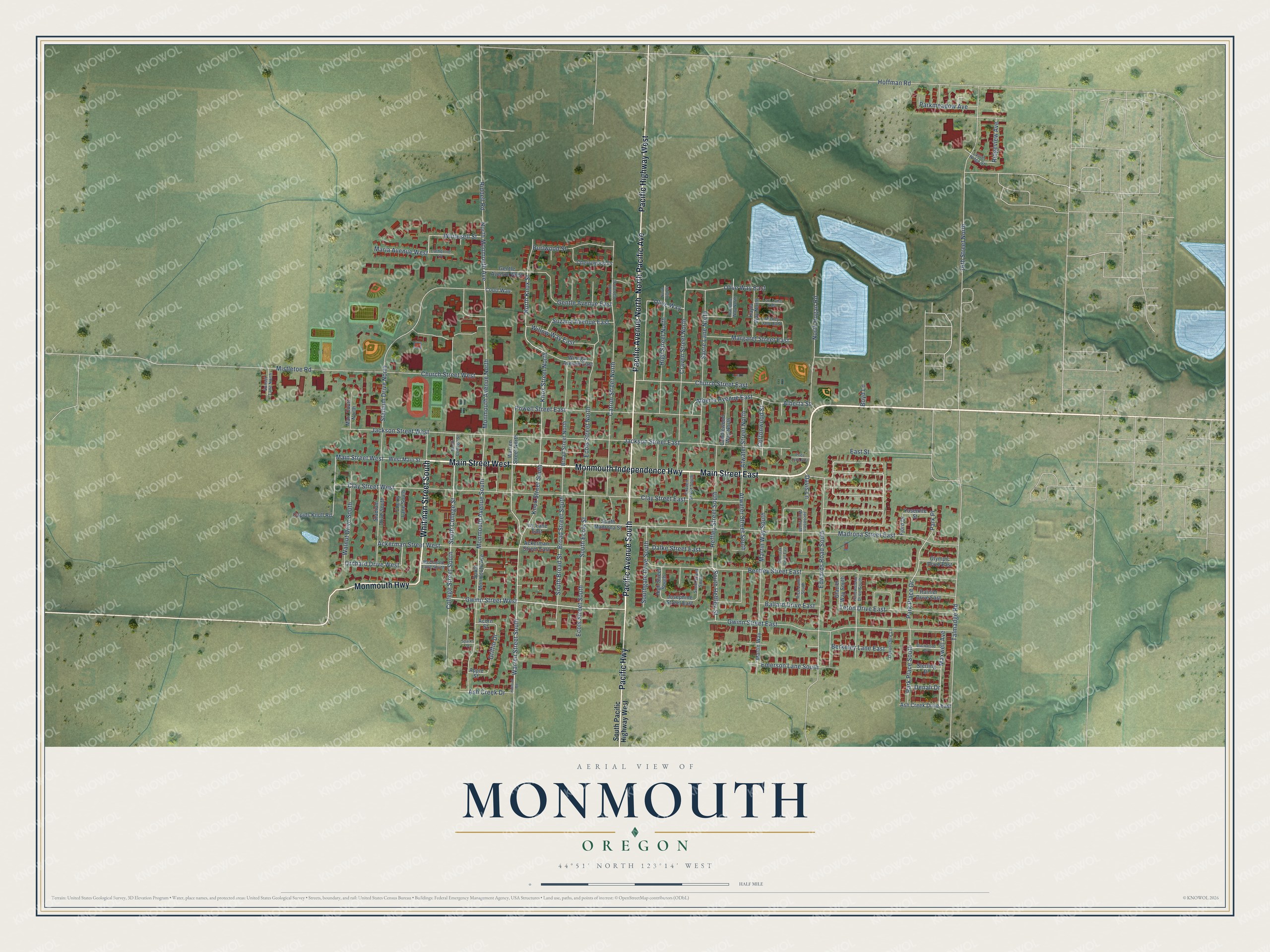
This beautifully detailed map of Monmouth, Oregon was created in 2026 using aerial imagery combined with modern topographical, census, street and landmark data. It's a modern aerial view of Monmouth in Polk County, Oregon, that combines modern data with a vintage aesthetic. The roads feature printed names, and if you look closely you can find your exact house accurately shown in its correct location.
Explore an aerial view of Monmouth, Oregon
On this map you'll find Monmouth Independence Highway, Pacific Avenue South, Main Street West, Whitman Street South, Pacific Avenue North, North Pacific Avenue, Main Street East, Pacific Highway West, Monmouth Highway, Pacific Highway, Gwinn Street East, Gwinn Street West, and more. Each red shape is a building, so zoom in on the preview and look for yours.
Monmouth has a story worth telling. The Oregon Encyclopedia puts it this way: "In the early 1850s, more than a dozen families of Disciples of Christ churches in the Monmouth, Illinois, area moved to Oregon to establish the town. Proceeds from the sale of the town lots were used to establish a college under the supervision of the local Disciples of Christ Church."
Monmouth is a city in Polk County.
Take a closer look at the Monmouth map
Names on this map
These names are printed on this map.
Streets and roads: Monmouth Independence Highway, Pacific Avenue South, Main Street West, Whitman Street South, Pacific Avenue North, North Pacific Avenue, Main Street East, Pacific Highway West, Monmouth Highway, Pacific Highway, Gwinn Street East, Gwinn Street West.
More street names, A to Z
16th Street North, Ackerman Street East, Ackerman Street West, Acorn Street, Alberta Avenue East, Alberta Street, Apple Street, Ash Creek Drive, Ash Creek Drive East, Atwater Street North, Atwater Street South, Ballard Drive East, Bentley Street East, Berkeley Lane East, Blackwood Drive, Boyd Lane, Broad Street North, Broad Street South, Burlwood Street, Candlewood Way North, Caroline Way North, Catherine Court, Catron Street North, Cherry Lane South, Cherrywood Drive, Church Street East, Church Street West, Clay Street East, Clay Street West, College Street South, Cottonwood Street, Court Way, Craven Street North, Craven Street South, Cupids Knoll Road, Dalke Street East, Davis Lane, Denali Drive, Devonshire Lane, East Street, Ecols Street North, Ecols Street South, Edwards Road South, Emerson Lane South, Fjord Drive, Gentle Avenue East, Gentle Avenue West, Glacier Way South, Glen Oak Court East, Griffin Drive, Heffley Street South, Helmick Road, High Street North, High Street South, Hoffman Road, Ivy Lane East, Jackson Street East, Jackson Street West, Jacobson Way South, Josephine Street East, Kayla Way North, Knox Street North, Knox Street South, Laurel Ridge Street, Lori Lane East, Madrona Street East, Margaret Street East, Maria Avenue West, Marr Court North, Martin Way, Martin Way South, Maxwell Avenue, McDonald Lane South, Mickey Lane East, Mistletoe Road, Monmouth Avenue North, Monmouth Avenue South, North Catron Street, North College Street, North High Street, North Hogan Road, North Knox Street, North Monmouth Avenue, Olive Way, Olive Way East, Olympic Drive East, Orchard Drive West, Parkmeadow Avenue, Park Place, Park Place Drive, Park Place South, Powell Street East, Price Lane East, Rainier Drive East, Rice Lane South, Riddell Road, Ridgeview Avenue, Sacre Lane North, Scott Street South, South Broad Street, South College Street, South Ecols Street, Southgate Drive South, South Heffley Street, South Madrona Street, South Monmouth Avenue, South Pacific Highway West, Sparks Street, Stadium Drive North, Stadium Drive South, Sterling Drive, Sunset Lane North, Suzana Avenue East, Talmadge Road, Teton Drive East, Walnut Drive South, Warren Street North, Warren Street South, West Main Street, Whitesell Street, Willow Way East, Winegar Avenue East, Yellowstone Drive South, Yosemite Street.
Created by KNOWOL in 2026. The buildings are small red shapes, the roads carry their printed names, and shaded relief shows the shape of the land. The title panel reads "AERIAL VIEW OF MONMOUTH OREGON" with 44°51' NORTH 123°14' WEST.
It looks right in a kitchen, an office or a den, and it's a gift for anyone who grew up in Monmouth or moved away. Open the preview and find your street. See sizes and frames for the Monmouth map.