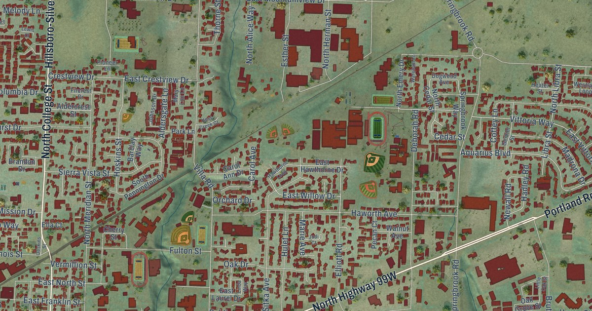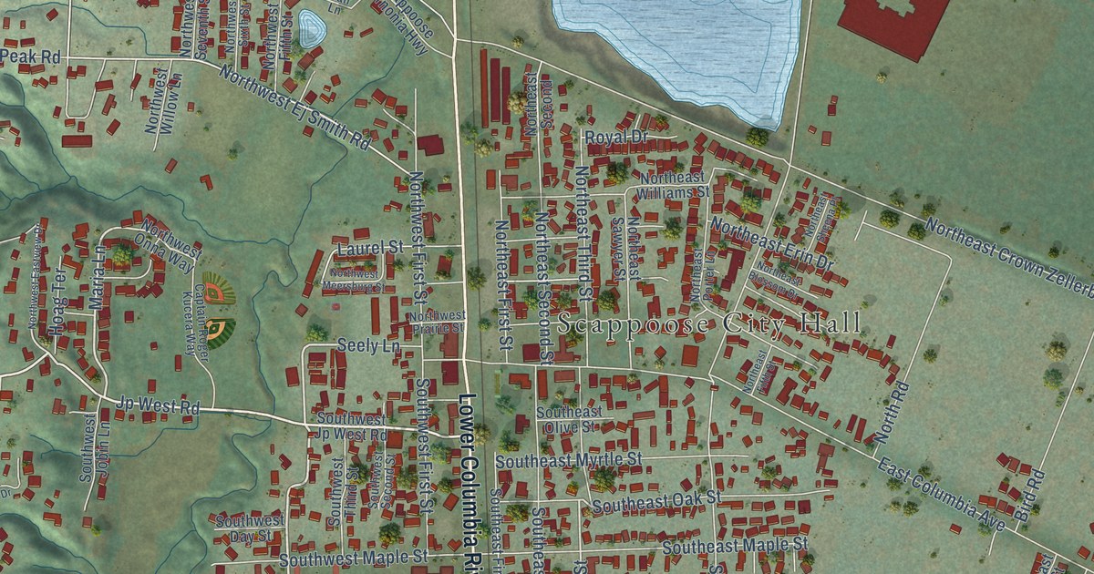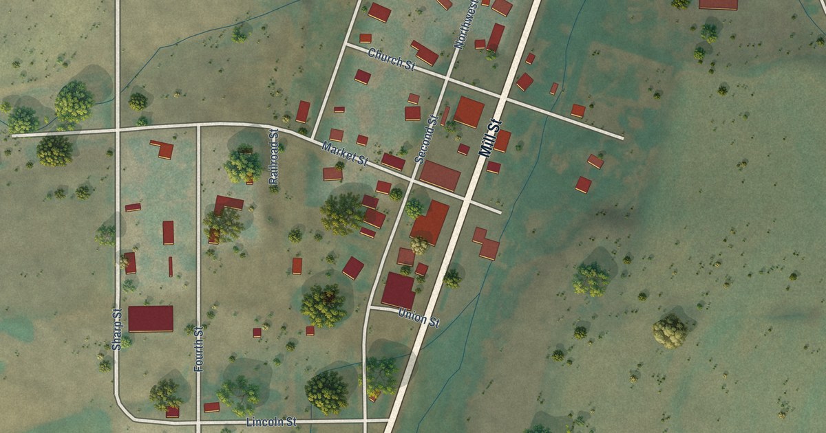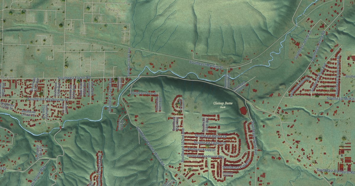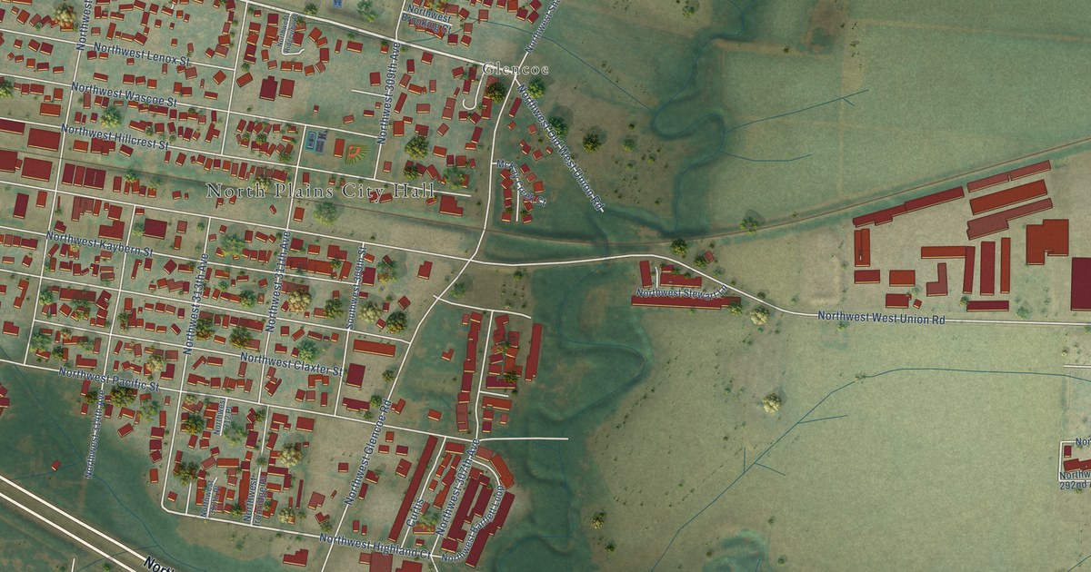
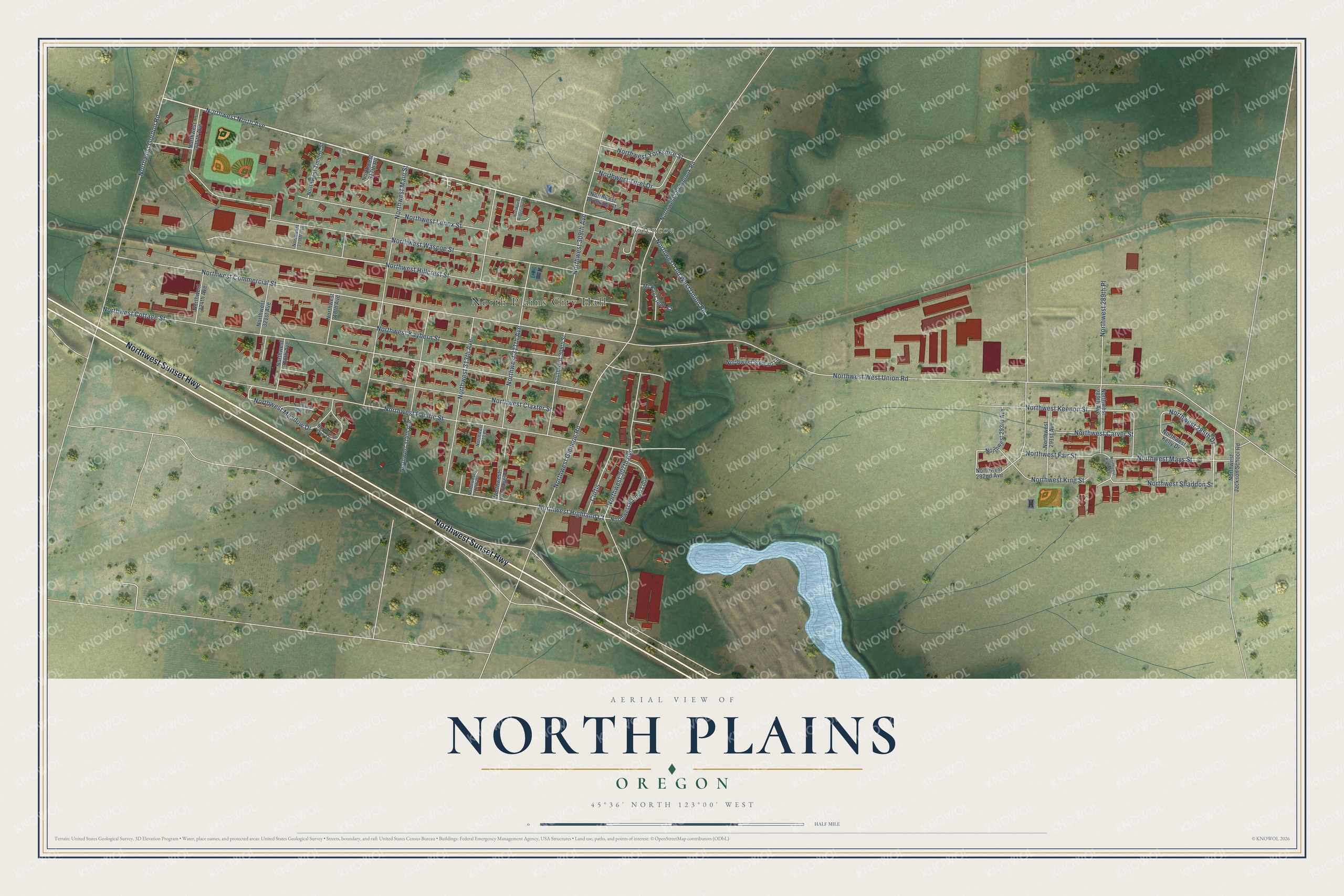
This beautifully detailed map of North Plains, Oregon was created in 2026 using aerial imagery combined with modern topographical, census, street and landmark data. It’s a one-of-a-kind view of North Plains that combines accurate data with a vintage aesthetic. The map shows every building in its true location, many of the roads carry their names, and the shaded topographic relief shows the shape of the land.
Explore an aerial view of North Plains, Oregon
On the map you’ll find North Plains City Hall and Glencoe, along with Northwest Sunset Highway, Northwest North Avenue, Northwest Pacific Street, Northwest Highland Court, Northwest 285th Drive, Northwest West Union Road, Northwest Commercial Street, Northwest Cottage Street, Northwest Wascoe Street, Northwest Hillcrest Street, and more. If you look closely you can even find your house accurately drawn in its correct location. Zoom in on the preview to look for yours.
Did you know this piece of North Plains, Oregon history?
From the Federal Writers' Project: "When the United Railways built into the country, in 1910, a depot was established on a high flat about a mile from Glencoe, and a town laid out and named North Plains."
North Plains is a city in Washington County.
Take a closer look at the North Plains map
Street and place names on the North Plains, Oregon map
These names are printed on the map of North Plains, Oregon.
Places: North Plains City Hall and Glencoe.
Streets and roads: Northwest Sunset Highway, Northwest North Avenue, Northwest Pacific Street, Northwest Highland Court, Northwest 285th Drive, Northwest West Union Road, Northwest Commercial Street, Northwest Cottage Street, Northwest Wascoe Street, Northwest Hillcrest Street, Northwest Glencoe Road, Northwest 307th Avenue.
More street names, A to Z
Curtis, McKay Creek Court, Northwest 289th Avenue, Northwest 289th Place, Northwest 291st Avenue, Northwest 292nd Avenue, Northwest 293rd Avenue, Northwest 309th Avenue, Northwest 311th Avenue, Northwest 312 Place, Northwest 312th Place, Northwest 313th Avenue, Northwest 314th Avenue, Northwest 317th Place, Northwest 318th Avenue, Northwest 319th Avenue, Northwest 320th Avenue, Northwest 321st Avenue, Northwest 324th Avenue, Northwest 325th Avenue, Northwest Bartlett Loop, Northwest Brooking Court, Northwest Carver Street, Northwest Claxter Street, Northwest Fair Street, Northwest Gordon Road, Northwest Ironridge Place, Northwest Jackson School Road, Northwest Kaybern Street, Northwest Kaye Way, Northwest Keenon Street, Northwest Kelly Drive, Northwest King Street, Northwest Lenox Street, Northwest Main Street, Northwest Mays Street, Northwest Meadow Drive, Northwest Oak Terrace, Northwest Old West Union Road, Northwest Ridgeview Place, Northwest Sage Court, Northwest Shaddon Street, Northwest Shadybrook Road, Northwest Stewart Lane, Northwest Timeric Street, Northwest Turel Drive, Northwest Yorkshire Street, Southwest 309th Street.
See the North Plains, Oregon map on a wall
The North Plains map as an 18 x 24 inch print in a black frame.

This beautifully detailed map of North Plains makes an attractive addition to your office, library, or den, and it can even be used to teach children the geography and history of the area. It also makes a great gift for someone who left North Plains and still calls it home. When you’re done exploring, click here to get your copy of the North Plains map.