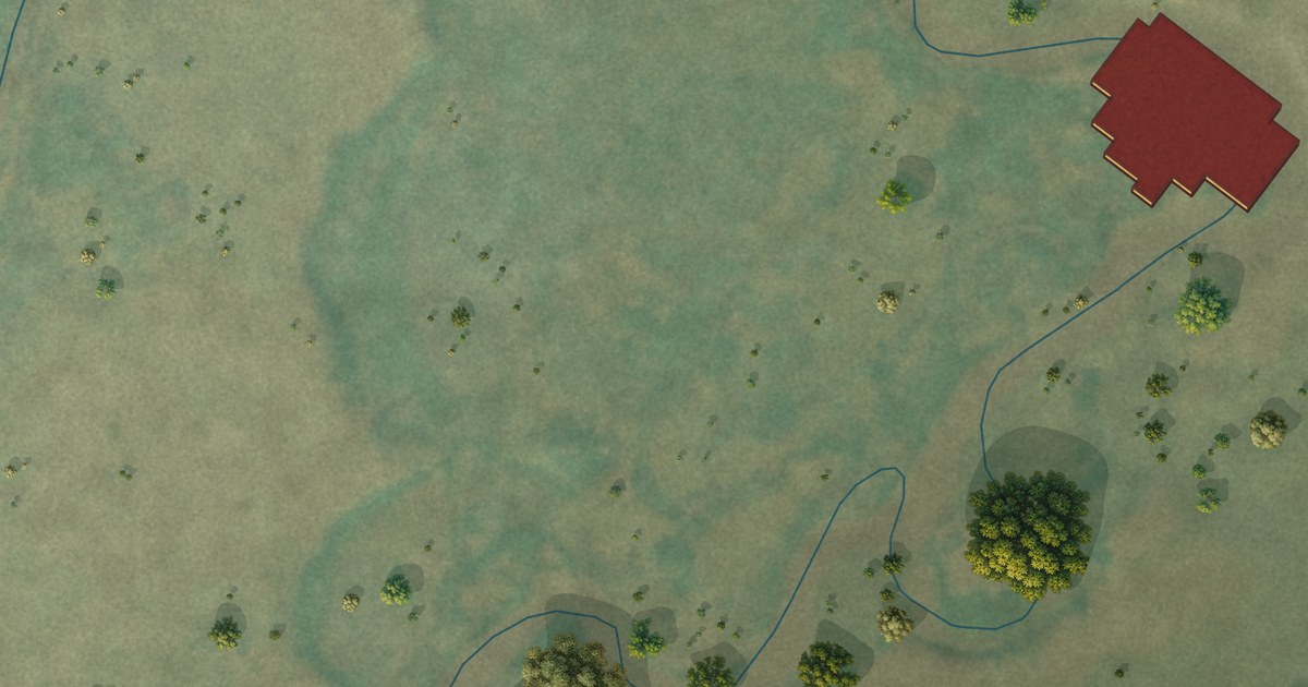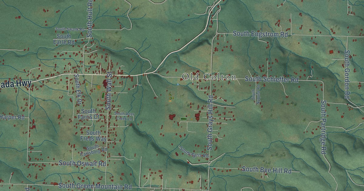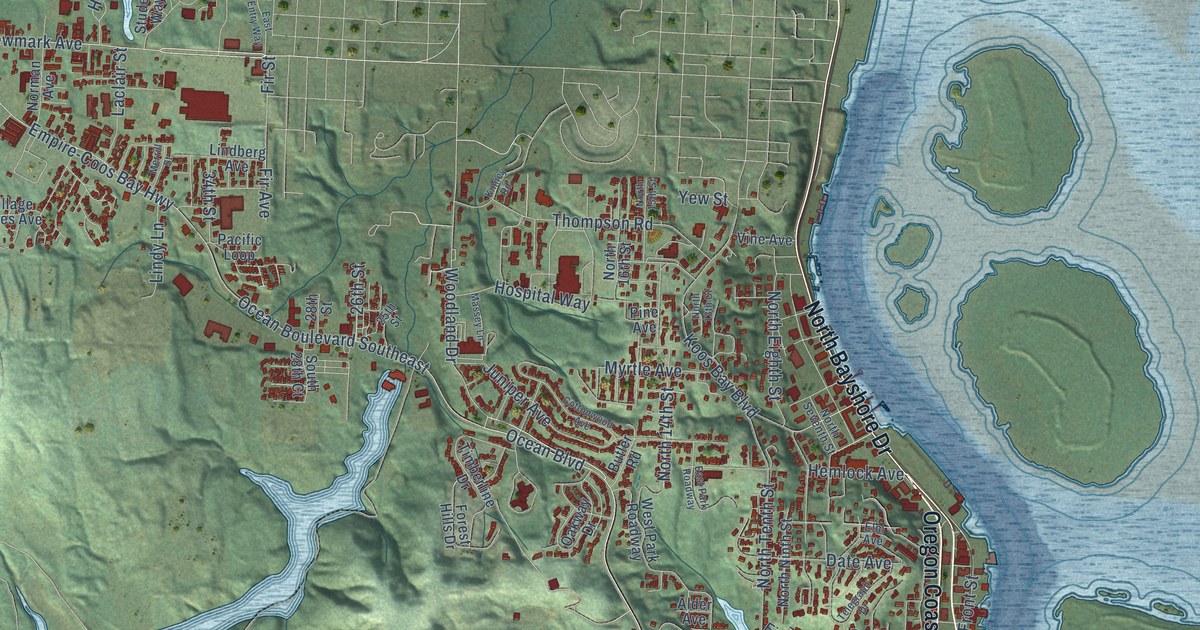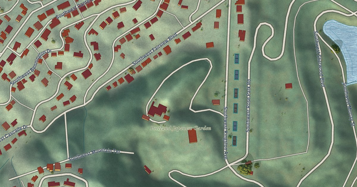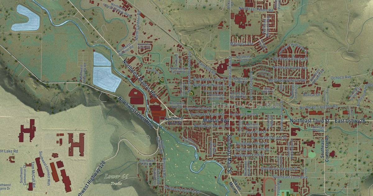
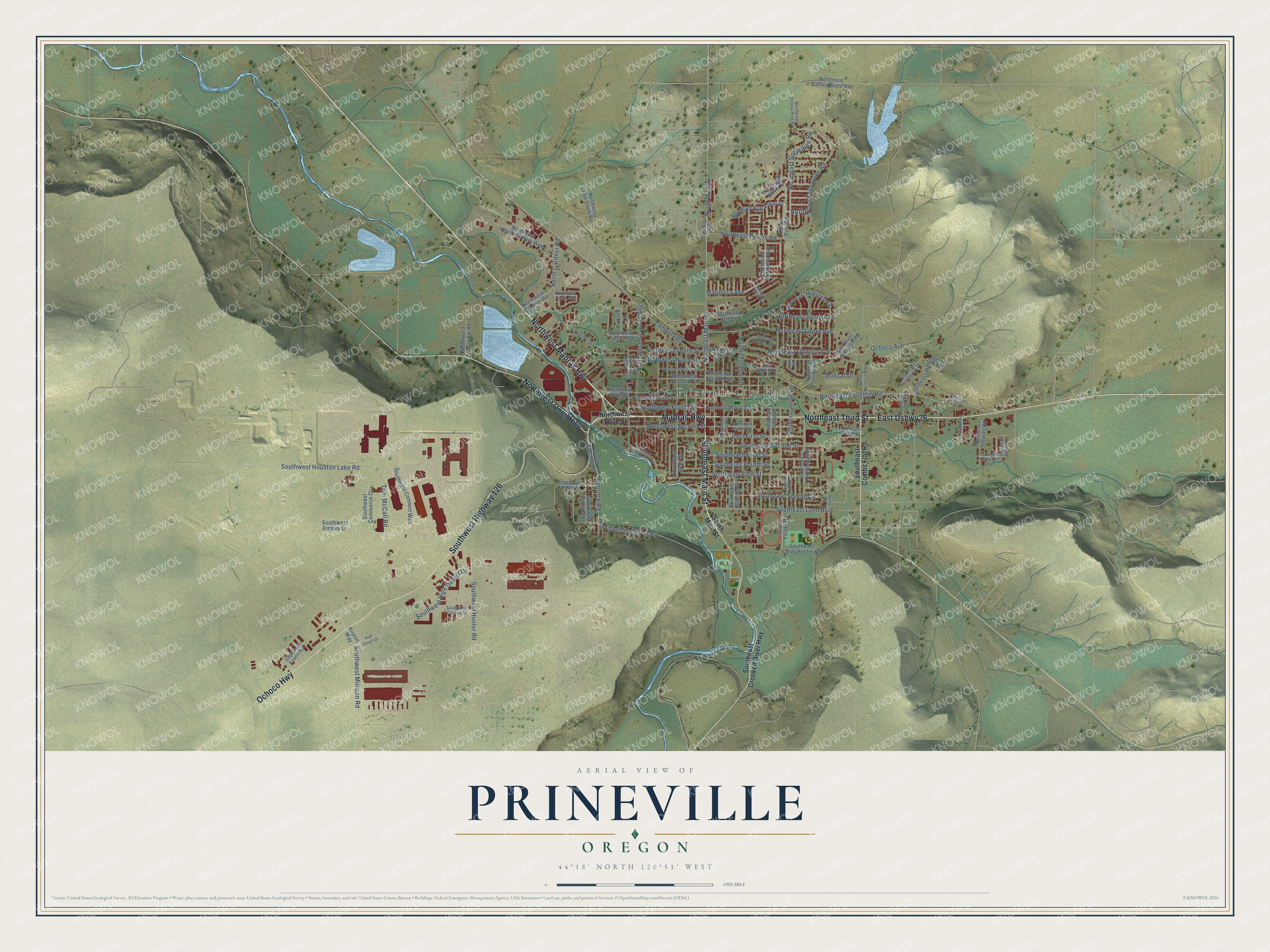
This beautifully detailed map of Prineville, Oregon was created in 2026 using aerial imagery combined with modern topographical, census, street and landmark data. It’s a one-of-a-kind view of Prineville that combines accurate data with a vintage aesthetic. The map shows every building in its true location, many of the roads carry their names, and the shaded topographic relief shows the shape of the land.
Explore an aerial view of Prineville, Oregon
On the map you’ll find Prineville City Hall, Lower 66 Trails, and East Ushwy26, along with Madras Highway, Northwest Madras Highway, Southeast Main Street, Ochoco Highway, Northeast Third Street, Southwest Highway 126, Northwest Oneil Highway, North Main Street, East First Street, and more. If you look closely you can even find your house accurately drawn in its correct location. Zoom in on the preview to look for yours.
Did you know this piece of Prineville, Oregon history?
From Oregonencyclopedia.org: "With a population of about four hundred people, Prineville was the only town of consequence in the Deschutes River drainage; it was incorporated in 1880."
Prineville is a city in Crook County.
Take a closer look at the Prineville map
Street and place names on the Prineville, Oregon map
These names are printed on the map of Prineville, Oregon.
Places: Prineville City Hall and Lower 66 Trails.
Streets and roads: Madras Highway, Northwest Madras Highway, Southeast Main Street, Ochoco Highway, East Ushwy26, Northeast Third Street, Southwest Highway 126, Northwest Oneil Highway, North Main Street, East First Street, Northeast Main Street, Northeast Laughlin Road.
More street names, A to Z
Airport Way, Bailey Road, Boxcar Drive, Cary Foster Road, East Eighth Street, Hickey Farms Road, High Desert Drive, Lamonta Road, Mariposa Avenue, McKay Road, McRae Court, Northeast 13th Street, Northeast Barnes Butte Road, Northeast Blackbear Street, Northeast Bobbi Place, Northeast Combs Flat Road, Northeast Court Street, Northeast Denton Lane, Northeast Elm Street, Northeast Fourth Street, Northeast Holly Street, Northeast Hudspeth Circle, Northeast Hudspeth Road, Northeast Jordan Lane, Northeast Juniper Street, Northeast Lookout Avenue, Northeast Loper Avenue, Northeast Mariposa Way, Northeast Mason Drive, Northeast Ochoco Avenue, Northeast Peters Road, Northeast Pippen Lane, Northeast Second Street, Northeast Seventh Street, Northeast Stearns Road, Northeast Stringline Court, Northeast Sugarpine Road, Northeast Sunrise Street, Northeast Tenth Street, Northeast Wayfinder Drive, Northeast Yellowpine Road, Northeast Yellow Pine Road, North Gardner Road, Northwest Eighth Street, Northwest Fifth Street, Northwest Fourth Street, Northwest Gardner Road, Northwest Harwood Avenue, Northwest Industrial Park Way, Northwest Locust Avenue, Northwest Lon Smith Road, Northwest Ninth Street, Northwest Second Street, Northwest Seventh Street, Northwest Sixth Street, Northwest Teal Loop, Northwest Tenth Street, Northwest Third Street, Northwest Twelfth Street, Northwest Westview Road, Ochoco Avenue, Pinkard Lane, Rimrock Road, Southeast Carey Foster Road, Southeast Combs Flat Road, Southeast Crooked River Highway, Southeast Dunham Street, Southeast Fifth Street, Southeast Fourth Street, Southeast Juniper Street, Southeast Knowledge Street, Southeast Lynn Boulevard, Southeast Second Street, Southeast Seventh Street, Southeast Sumner Drive, Southeast Third Street, South Main Street, South Rimrock Road, Southwest Airport Road, Southwest Cessna Drive, Southwest Cliffside Lane, Southwest Commerce Court, Southwest Connect Way, Southwest Crestview Road, Southwest Deer Street, Southwest Empire Drive, Southwest High Desert Drive, Southwest Houston Lake Road, Southwest Hunter Road, Southwest Meadow Lakes Drive, Southwest Millican Road, Southwest Park Drive, Studebaker Drive, Tom McCall Road, Triangle Outfit Drive, Williamson Drive, Yellow Pine Road.
See the Prineville, Oregon map on a wall
The Prineville map as an 18 x 24 inch print in a black frame.

This beautifully detailed map of Prineville makes an attractive addition to your office, library, or den, and it can even be used to teach children the geography and history of the area. It also makes a great gift for someone who left Prineville and still calls it home. When you’re done exploring, click here to get your copy of the Prineville map.